Howard County is one of 92 counties in the U.S. state of Indiana. As of the 2020 census, the population was 83,658. The county seat is Kokomo. Originally named Richardville County, it was renamed in 1844 to commemorate General Tilghman Ashurst Howard.
Howard County comprises the Kokomo, Indiana Metropolitan Statistical Area.
| Name: | Howard County |
|---|---|
| FIPS code: | 18-067 |
| State: | Indiana |
| Founded: | 1844 |
| Named for: | Tilghman Howard |
| Seat: | Kokomo |
| Largest city: | Kokomo |
| Total Area: | 293.92 sq mi (761.2 km²) |
| Land Area: | 293.06 sq mi (759.0 km²) |
| Total Population: | 83,658 |
| Population Density: | 280/sq mi (110/km²) |
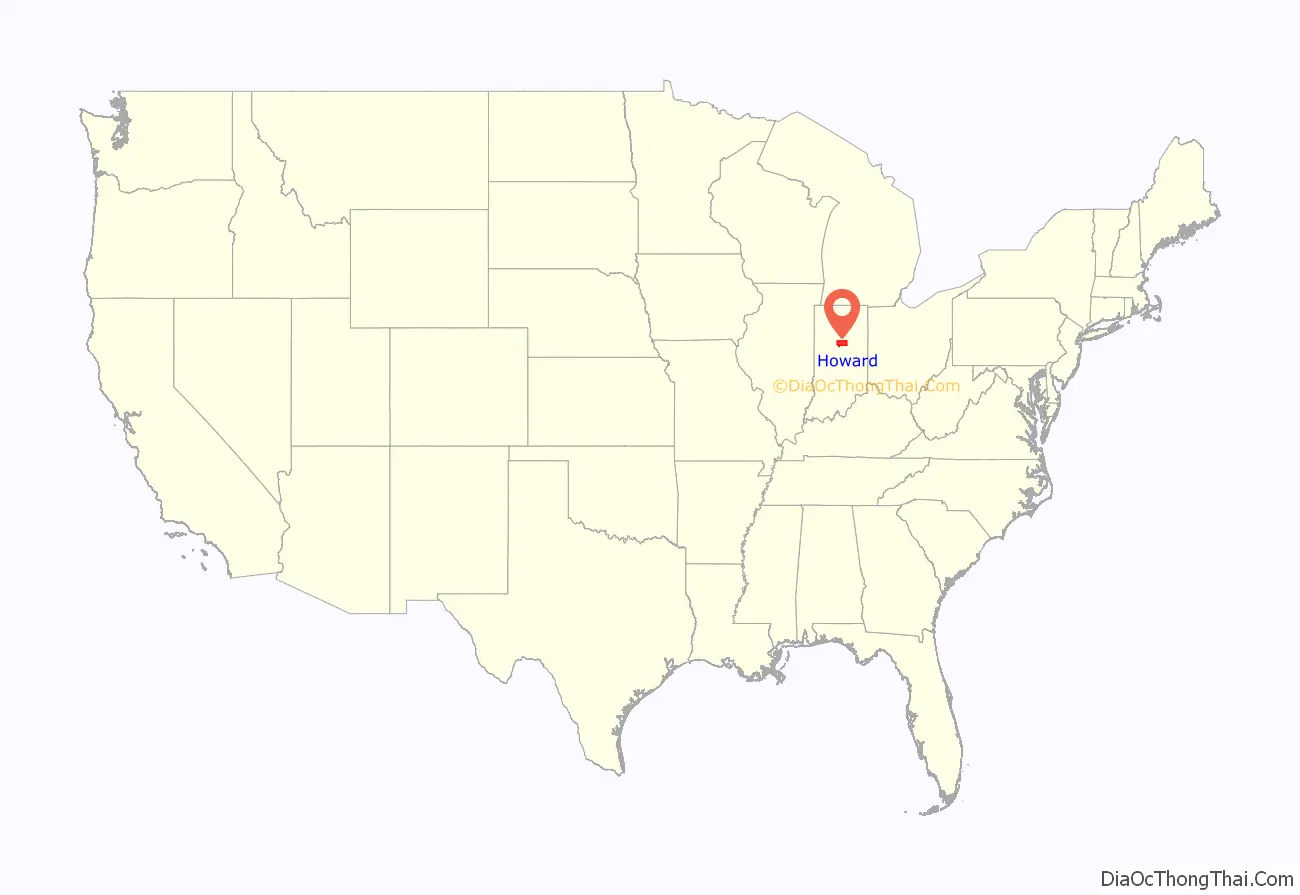
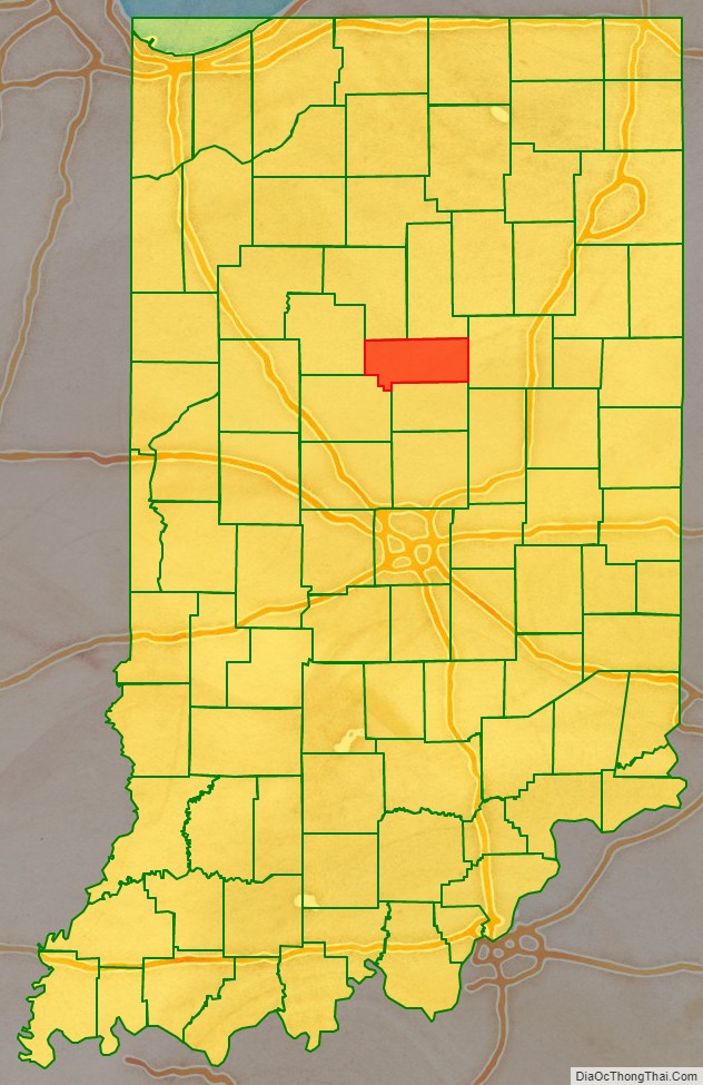
Howard County location map. Where is Howard County?
History
This county was organized in 1844. It was first known as Richardville County. Its first name honored Jean Baptiste Richardville, a chief of the Miami. Richardville’s name was Pe-che-wa, which translates to “Wildcat”, hence Wildcat Creek.
In 1846, the name was changed to Howard County, in honor of Gen. Tilghman Howard, U.S. Representative from Indiana, who died in 1844.
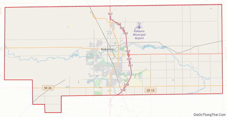
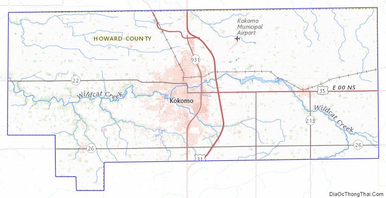
Howard County Road Map
Geography
According to the 2010 census, the county has a total area of 293.92 square miles (761.2 km), of which 293.06 square miles (759.0 km) (or 99.71%) is land and 0.86 square miles (2.2 km) (or 0.29%) is water.
Adjacent counties
- Miami County, Indiana (North)
- Grant County, Indiana (East)
- Tipton County, Indiana (South)
- Clinton County, Indiana (Southwest)
- Carroll County, Indiana (West)
- Cass County, Indiana (Northwest)
Howard County Topographic Map
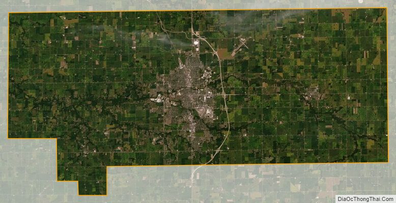
Howard County Satellite Map
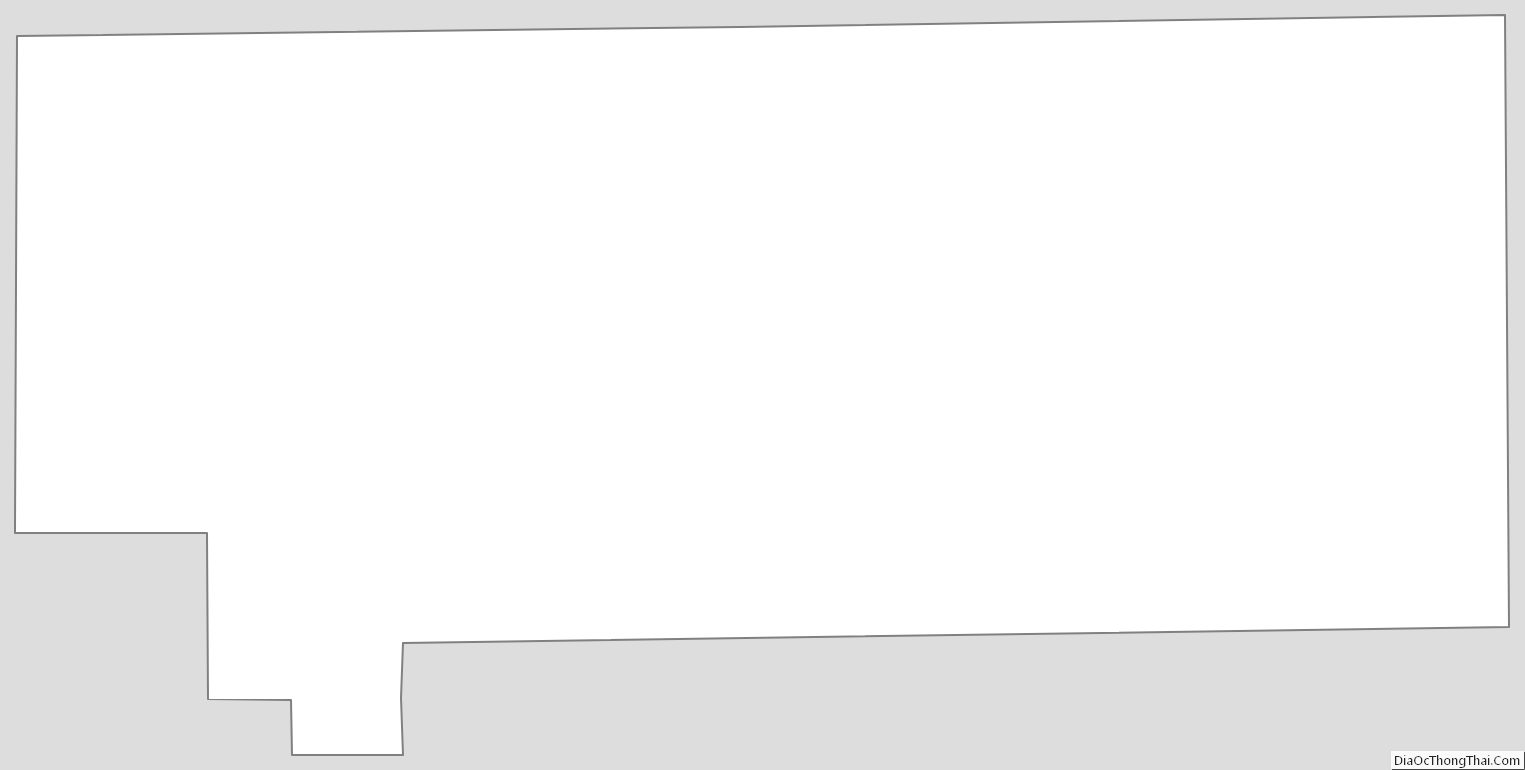
Howard County Outline Map
See also
Map of Indiana State and its subdivision:- Adams
- Allen
- Bartholomew
- Benton
- Blackford
- Boone
- Brown
- Carroll
- Cass
- Clark
- Clay
- Clinton
- Crawford
- Daviess
- De Kalb
- Dearborn
- Decatur
- Delaware
- Dubois
- Elkhart
- Fayette
- Floyd
- Fountain
- Franklin
- Fulton
- Gibson
- Grant
- Greene
- Hamilton
- Hancock
- Harrison
- Hendricks
- Henry
- Howard
- Huntington
- Jackson
- Jasper
- Jay
- Jefferson
- Jennings
- Johnson
- Knox
- Kosciusko
- LaGrange
- Lake
- Lake Michigan
- LaPorte
- Lawrence
- Madison
- Marion
- Marshall
- Martin
- Miami
- Monroe
- Montgomery
- Morgan
- Newton
- Noble
- Ohio
- Orange
- Owen
- Parke
- Perry
- Pike
- Porter
- Posey
- Pulaski
- Putnam
- Randolph
- Ripley
- Rush
- Saint Joseph
- Scott
- Shelby
- Spencer
- Starke
- Steuben
- Sullivan
- Switzerland
- Tippecanoe
- Tipton
- Union
- Vanderburgh
- Vermillion
- Vigo
- Wabash
- Warren
- Warrick
- Washington
- Wayne
- Wells
- White
- Whitley
- Alabama
- Alaska
- Arizona
- Arkansas
- California
- Colorado
- Connecticut
- Delaware
- District of Columbia
- Florida
- Georgia
- Hawaii
- Idaho
- Illinois
- Indiana
- Iowa
- Kansas
- Kentucky
- Louisiana
- Maine
- Maryland
- Massachusetts
- Michigan
- Minnesota
- Mississippi
- Missouri
- Montana
- Nebraska
- Nevada
- New Hampshire
- New Jersey
- New Mexico
- New York
- North Carolina
- North Dakota
- Ohio
- Oklahoma
- Oregon
- Pennsylvania
- Rhode Island
- South Carolina
- South Dakota
- Tennessee
- Texas
- Utah
- Vermont
- Virginia
- Washington
- West Virginia
- Wisconsin
- Wyoming