Huerfano County (/ˈwɛərfənoʊ/; Spanish pronunciation: [ˈweɾfano]) is a county located in the U.S. state of Colorado. As of the 2020 census, the population was 6,820. The county seat is Walsenburg. The county, whose name comes from the Spanish huérfano meaning “orphan”, was named for the Huerfano Butte, a local landmark. The area of Huerfano County boomed early in the 1900s with the discovery of large coal deposits. After large scale World War II coal demand ended in the 1940s Walsenburg and Huerfano saw a steady economic decline through 2015.
| Name: | Huerfano County |
|---|---|
| FIPS code: | 08-055 |
| State: | Colorado |
| Named for: | Huerfano Butte |
| Seat: | Walsenburg |
| Largest city: | Walsenburg |
| Total Area: | 1,593 sq mi (4,130 km²) |
| Land Area: | 1,591 sq mi (4,120 km²) |
| Total Population: | 6,920 |
| Population Density: | 4.2/sq mi (1.6/km²) |
| Time zone: | UTC−7 (Mountain) |
| Summer Time Zone (DST): | UTC−6 (MDT) |
| Website: | www.huerfano.us |
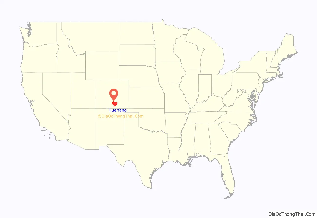
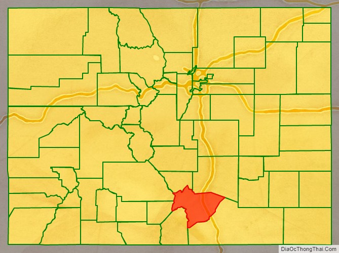
Huerfano County location map. Where is Huerfano County?
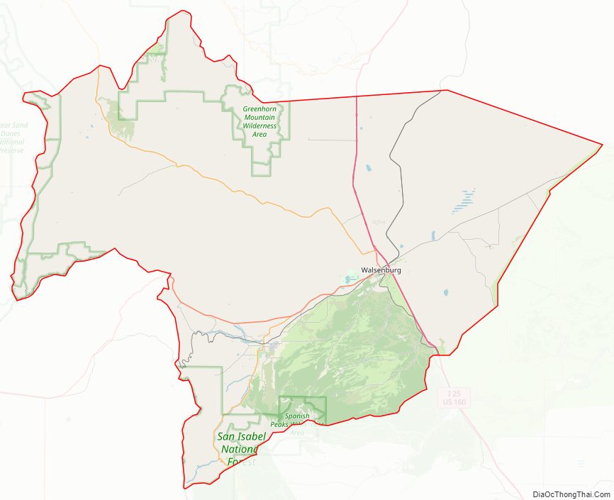
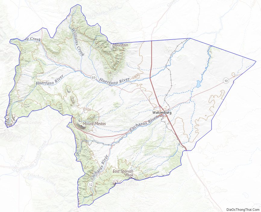
Huerfano County Road Map
Geography
According to the U.S. Census Bureau, the county has a total area of 1,593 square miles (4,130 km), of which 1,591 square miles (4,120 km) is land and 2.2 square miles (5.7 km) (0.1%) is water. The price of property saw an increase of more than 10% after a moratorium on commercial marijuana grows was lifted in July 2015.
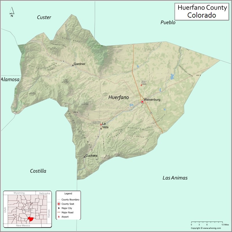
Adjacent counties
- Pueblo County – northeast
- Las Animas County – southeast
- Costilla County – southwest
- Alamosa County – west
- Custer County – northwest
- Saguache County – northwest
Major Highways
- Interstate 25
- I-25 BS
- U.S. Highway 160
- State Highway 10
- State Highway 12
- State Highway 69
Protected areas
- Greenhorn Mountain Wilderness
- Lathrop State Park
- San Isabel National Forest
- Sangre de Cristo Wilderness
- Spanish Peaks Wilderness
Scenic byway
- Highway of Legends Scenic Byway
Huerfano County Topographic Map
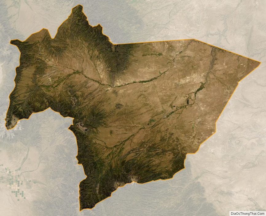
Huerfano County Satellite Map
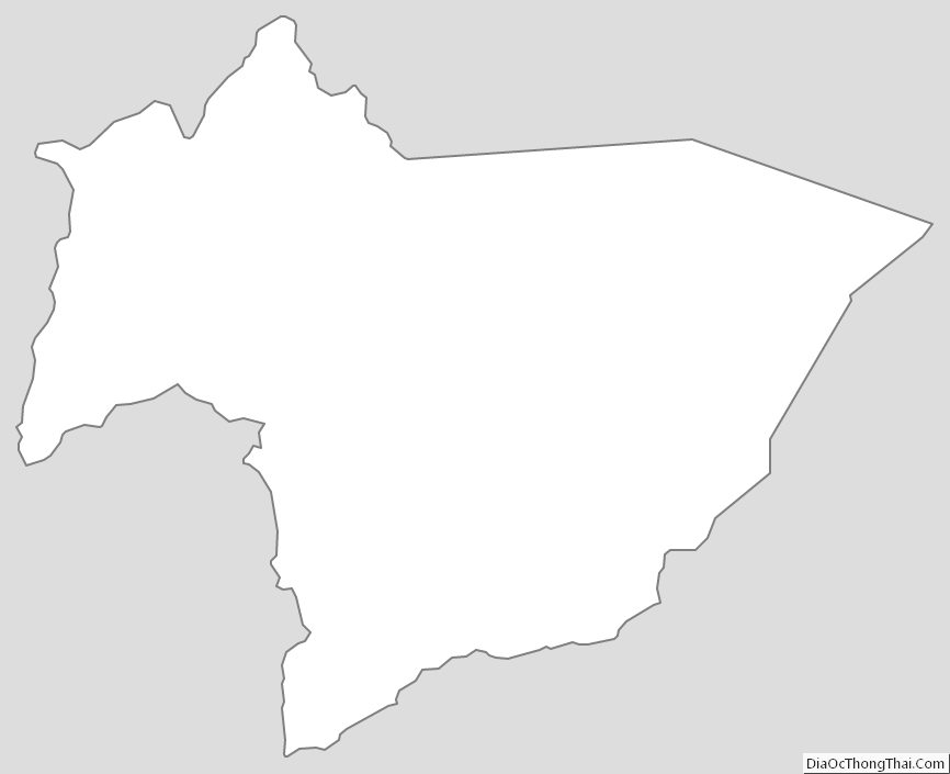
Huerfano County Outline Map
See also
Map of Colorado State and its subdivision:- Adams
- Alamosa
- Arapahoe
- Archuleta
- Baca
- Bent
- Boulder
- Broomfield
- Chaffee
- Cheyenne
- Clear Creek
- Conejos
- Costilla
- Crowley
- Custer
- Delta
- Denver
- Dolores
- Douglas
- Eagle
- El Paso
- Elbert
- Fremont
- Garfield
- Gilpin
- Grand
- Gunnison
- Hinsdale
- Huerfano
- Jackson
- Jefferson
- Kiowa
- Kit Carson
- La Plata
- Lake
- Larimer
- Las Animas
- Lincoln
- Logan
- Mesa
- Mineral
- Moffat
- Montezuma
- Montrose
- Morgan
- Otero
- Ouray
- Park
- Phillips
- Pitkin
- Prowers
- Pueblo
- Rio Blanco
- Rio Grande
- Routt
- Saguache
- San Juan
- San Miguel
- Sedgwick
- Summit
- Teller
- Washington
- Weld
- Yuma
- Alabama
- Alaska
- Arizona
- Arkansas
- California
- Colorado
- Connecticut
- Delaware
- District of Columbia
- Florida
- Georgia
- Hawaii
- Idaho
- Illinois
- Indiana
- Iowa
- Kansas
- Kentucky
- Louisiana
- Maine
- Maryland
- Massachusetts
- Michigan
- Minnesota
- Mississippi
- Missouri
- Montana
- Nebraska
- Nevada
- New Hampshire
- New Jersey
- New Mexico
- New York
- North Carolina
- North Dakota
- Ohio
- Oklahoma
- Oregon
- Pennsylvania
- Rhode Island
- South Carolina
- South Dakota
- Tennessee
- Texas
- Utah
- Vermont
- Virginia
- Washington
- West Virginia
- Wisconsin
- Wyoming