Humphreys County is a county located in the western part of Middle Tennessee, in the U.S. state of Tennessee. As of the 2020 census, the population was 18,990. Its county seat is Waverly.
| Name: | Humphreys County |
|---|---|
| FIPS code: | 47-085 |
| State: | Tennessee |
| Founded: | 1809 |
| Named for: | Parry Wayne Humphreys |
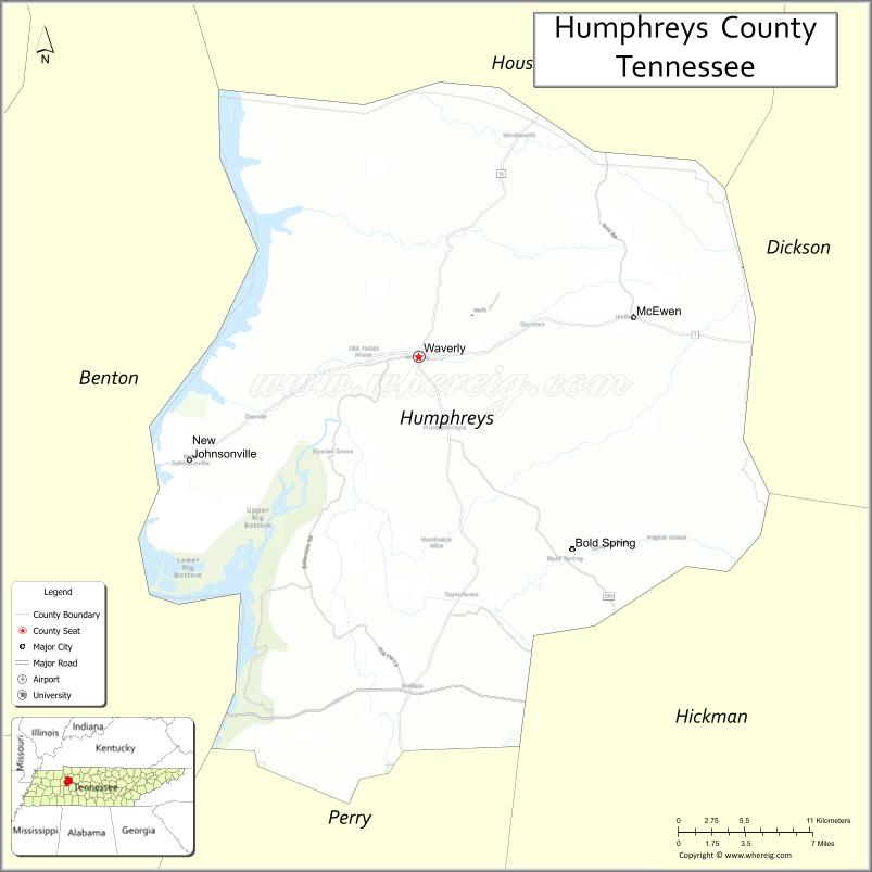
| Seat: | Waverly |
| Largest city: | Waverly |
| Total Area: | 557 sq mi (1,440 km²) |
| Land Area: | 531 sq mi (1,380 km²) |
| Total Population: | 18,990 |
| Population Density: | 34/sq mi (13/km²) |
| Time zone: | UTC−6 (Central) |
| Summer Time Zone (DST): | UTC−5 (CDT) |
| Website: | www.humphreystn.com |
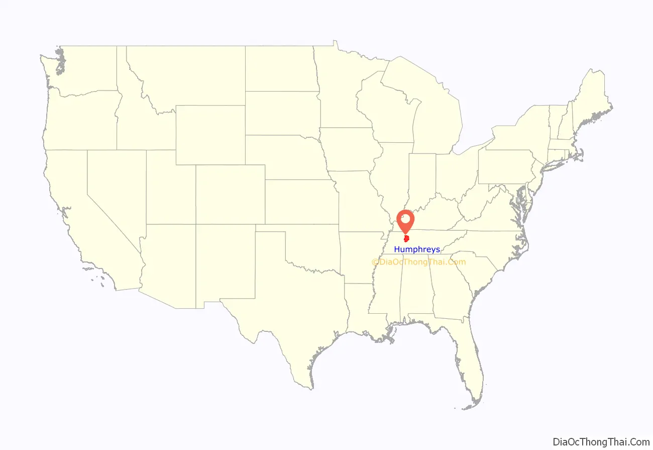
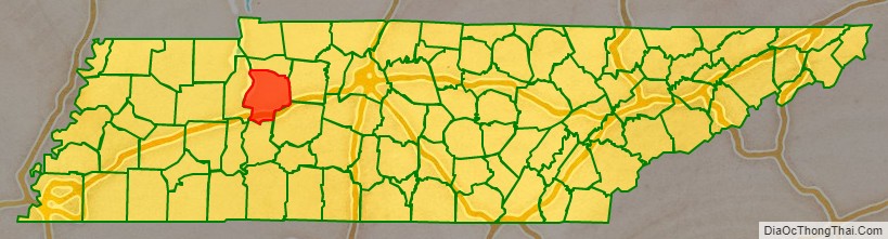
Humphreys County location map. Where is Humphreys County?
History
Humphreys County was established in 1809 from parts of Stewart County, and named for Parry Wayne Humphreys, a young Justice of the State Supreme Court, who was later elected as US Congressman from this area. The county seat was initially located at Reynoldsburg, near the mouth of Dry Creek. When the western half of the county was taken to form Benton County to the west in 1835, the seat of Humphreys was newly designated as Waverly, a town that was more centrally located in the redefined jurisdiction.
During the Civil War, the Battle of Johnsonville was fought for two days in the western half of the county in November 1864. The remnants of the battle site are preserved and interpreted at Johnsonville State Historic Park. But much of the battlefield has been submerged by Kentucky Lake, created by dams on the Tennessee River for flood control.
Since the mid-20th century, this area developed increasing ties with the major city of Nashville. Agricultural areas have been developed for residential communities and suburban businesses. As Nashville and the region have prospered, businesses and supporting services have also developed in this county.
21st century
On the morning of August 21, 2021, storms riding along a stationary front in western Middle Tennessee produced widespread flash flooding across the counties of Stewart, Houston, Dickson, Hickman, and Humphreys. Especially hard hit were the towns of McEwen and Waverly, where many homes and businesses were destroyed by floodwaters along Trace Creek. Twenty people were killed as a result of the flooding throughout the county.
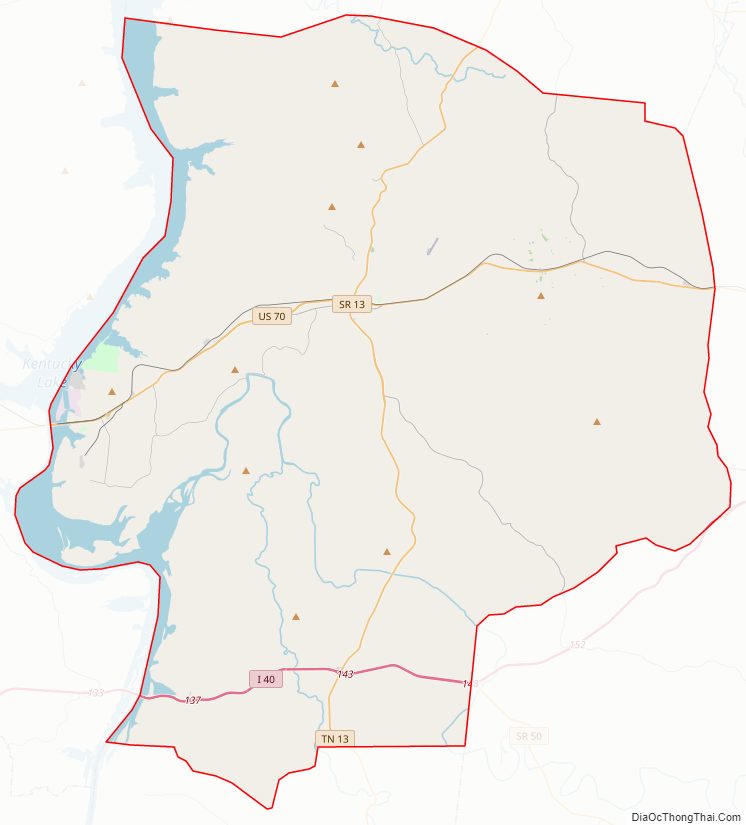
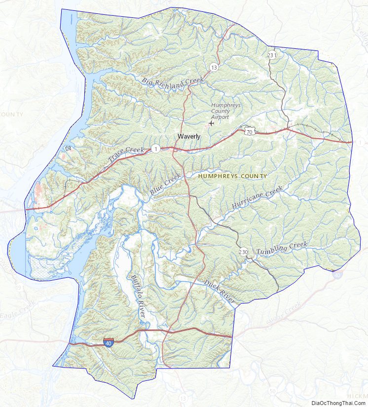
Humphreys County Road Map
Geography
According to the U.S. Census Bureau, the county has a total area of 557 square miles (1,440 km), of which 531 square miles (1,380 km) is land and 26 square miles (67 km) (4.6%) is water.
Adjacent counties
- Houston County (north)
- Dickson County (northeast)
- Hickman County (southeast)
- Perry County (south)
- Benton County (west)
National protected area
- Tennessee National Wildlife Refuge (part)
State protected area
- Johnsonville State Historic Park
Humphreys County Topographic Map
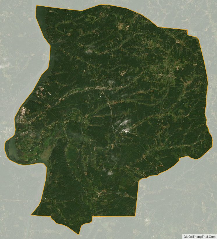
Humphreys County Satellite Map
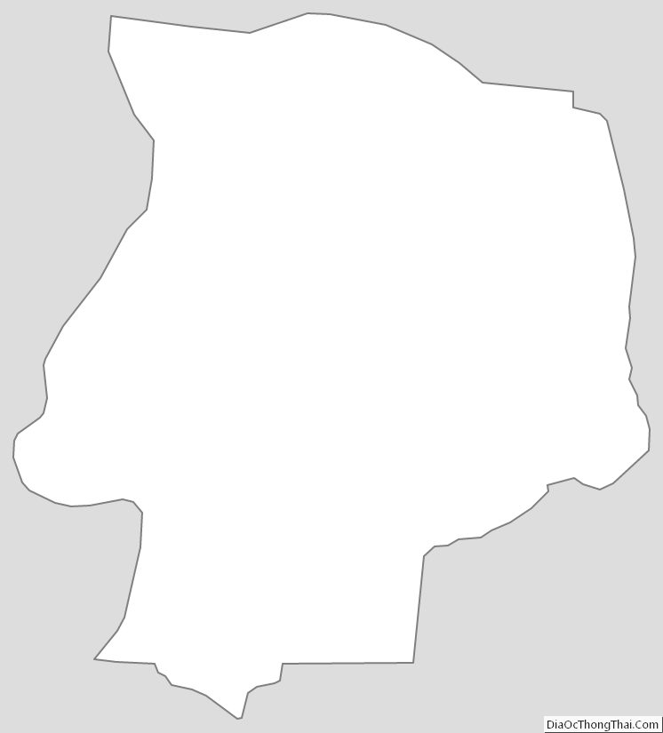
Humphreys County Outline Map
See also
Map of Tennessee State and its subdivision:- Anderson
- Bedford
- Benton
- Bledsoe
- Blount
- Bradley
- Campbell
- Cannon
- Carroll
- Carter
- Cheatham
- Chester
- Claiborne
- Clay
- Cocke
- Coffee
- Crockett
- Cumberland
- Davidson
- Decatur
- DeKalb
- Dickson
- Dyer
- Fayette
- Fentress
- Franklin
- Gibson
- Giles
- Grainger
- Greene
- Grundy
- Hamblen
- Hamilton
- Hancock
- Hardeman
- Hardin
- Hawkins
- Haywood
- Henderson
- Henry
- Hickman
- Houston
- Humphreys
- Jackson
- Jefferson
- Johnson
- Knox
- Lake
- Lauderdale
- Lawrence
- Lewis
- Lincoln
- Loudon
- Macon
- Madison
- Marion
- Marshall
- Maury
- McMinn
- McNairy
- Meigs
- Monroe
- Montgomery
- Moore
- Morgan
- Obion
- Overton
- Perry
- Pickett
- Polk
- Putnam
- Rhea
- Roane
- Robertson
- Rutherford
- Scott
- Sequatchie
- Sevier
- Shelby
- Smith
- Stewart
- Sullivan
- Sumner
- Tipton
- Trousdale
- Unicoi
- Union
- Van Buren
- Warren
- Washington
- Wayne
- Weakley
- White
- Williamson
- Wilson
- Alabama
- Alaska
- Arizona
- Arkansas
- California
- Colorado
- Connecticut
- Delaware
- District of Columbia
- Florida
- Georgia
- Hawaii
- Idaho
- Illinois
- Indiana
- Iowa
- Kansas
- Kentucky
- Louisiana
- Maine
- Maryland
- Massachusetts
- Michigan
- Minnesota
- Mississippi
- Missouri
- Montana
- Nebraska
- Nevada
- New Hampshire
- New Jersey
- New Mexico
- New York
- North Carolina
- North Dakota
- Ohio
- Oklahoma
- Oregon
- Pennsylvania
- Rhode Island
- South Carolina
- South Dakota
- Tennessee
- Texas
- Utah
- Vermont
- Virginia
- Washington
- West Virginia
- Wisconsin
- Wyoming