Jeff Davis County is a county in the U.S. state of Texas. As of the 2020 census, its population was 1,996. Its county seat is Fort Davis. The county is named for Jefferson Davis, who served as the 23rd United States Secretary of War in the 1850s, and as President of the Confederate States of America.
Jeff Davis County is recognizable for its unique shape; it is a pentagon that has no north–south nor east–west boundaries, save for a six-mile line serving as its southern boundary. It is the only county in the United States that touches a foreign country (Mexico) at a single point. Jeff Davis is one of the nine counties that compose the Trans-Pecos region of West Texas.
The county contains the 270,000-acre (1,100 km) Texas Davis Mountains American Viticultural Area. About 50 acres (0.2 km) are “under vine”. The McDonald Observatory, owned by the University of Texas at Austin, is located near Fort Davis.
| Name: | Jeff Davis County |
|---|---|
| FIPS code: | 48-243 |
| State: | Texas |
| Founded: | 1887 |
| Named for: | Jefferson Davis |
| Seat: | Fort Davis |
| Largest town: | Fort Davis |
| Total Area: | 2,265 sq mi (5,870 km²) |
| Land Area: | 2,265 sq mi (5,870 km²) |
| Total Population: | 1,996 |
| Population Density: | 0.88/sq mi (0.34/km²) |
| Time zone: | UTC−6 (Central) |
| Summer Time Zone (DST): | UTC−5 (CDT) |
| Website: | www.co.jeff-davis.tx.us |
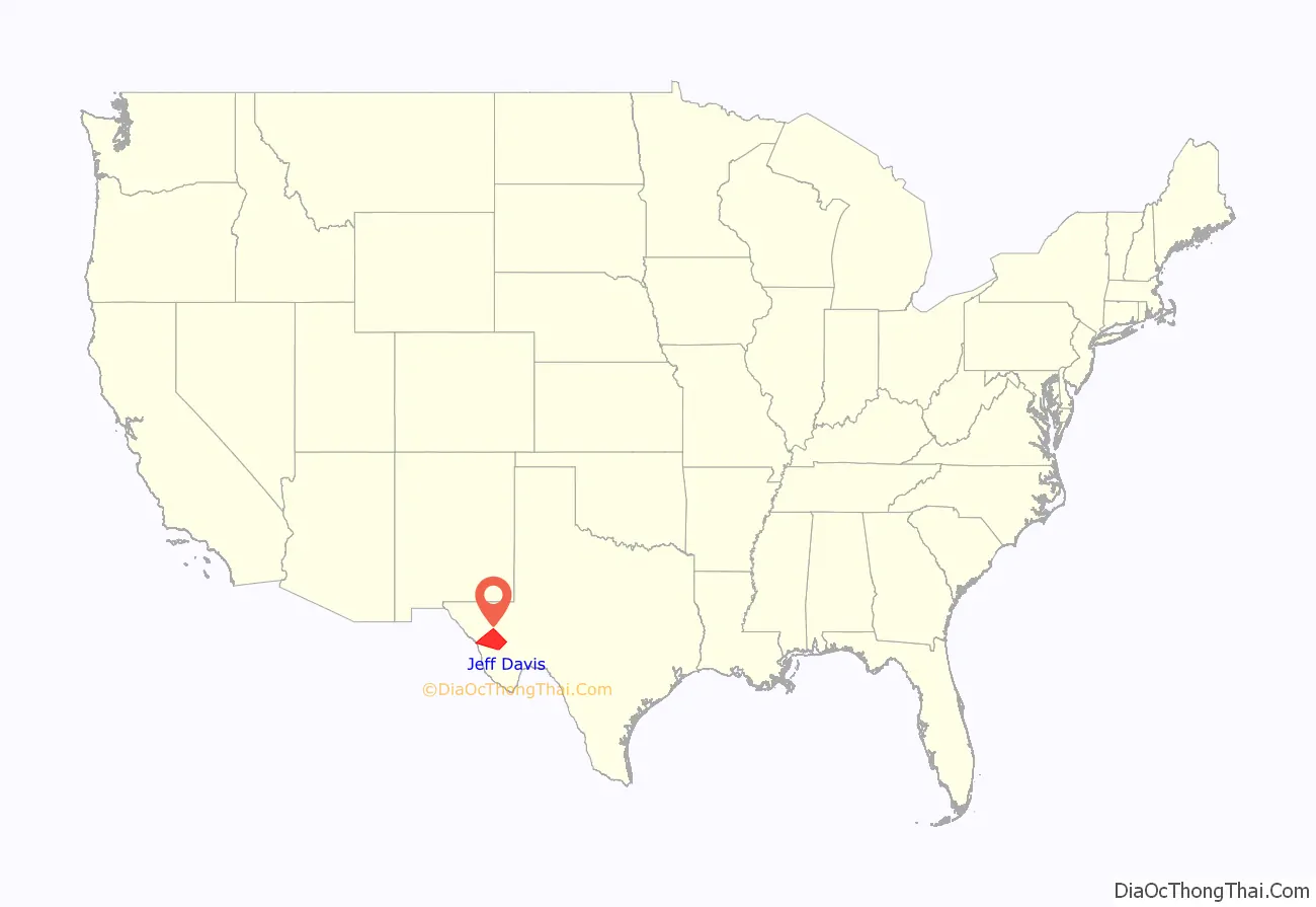
Jeff Davis County location map. Where is Jeff Davis County?
History
Native Americans
Prehistoric peoples camped at Phantom Lake Spring, in present-day northeastern Jeff Davis County, and may have used the springs for irrigation. Indian pictographs in the Painted Comanche Camp of Limpia Canyon were discovered by the Whiting and Smith Expedition of 1849.
As white migrants moved into the area, tensions with Native Americans increased. The groups competed for resources, and armed conflicts were conducted for more than two decades, especially after the Civil War. In August 1861, Mescalero Apache under Chief Nicolas attacked Fort Davis, driving off livestock and killing three people. In the ensuing chase by the cavalry, Nicolas ambushed the soldiers, killing them all.
In September 1868 at Horsehead Hills, a group of volunteer Mexican and buffalo soldiers from Fort Davis attacked and destroyed a Mescalero village to recover captives and stolen livestock. In January 1870, a group of soldiers attacked a Mescalero Apache village near Delaware Creek in the Guadalupe Mountains. In July 1880, soldiers at Tinaja de las Palmas attacked a group of Mescaleros led by Chief Victorio. In August 1880, buffalo soldiers ambushed Victorio at Rattlesnake Springs. Victorio retreated to Mexico, where he was killed in October of that year by Mexican soldiers. The last Indian depredation in the area was at Barry Scobee Mountain in 1881.
Early days
In March 1849, Lieutenants William H. C. Whiting and William F. Smith were sent out by Maj. Gen. William J. Worth of the Texas 8th Military Department to look for a route from San Antonio to El Paso del Norte. A second party, led by Dr. John S. Ford and financed by a group of Austin merchants, pioneered a trail that ran north of the Davis Mountains before turning southward toward El Paso. In June 1849 Lt. Col. Joseph E. Johnston, attached to Bvt. Maj. Jefferson Van Horne’s battalion, was sent for additional surveying.
At El Paso, Horne established Fort Bliss. Texas Ranger Big Foot Wallace escorted the San Antonio-El Paso Mail coach through the mountains. Fort Davis was established in 1854. The land was leased from surveyor John James at $300 a year. The federal government surrendered the fort to the Confederacy in 1861. The CSA abandoned it in 1862 after their defeat at Glorieta Pass, New Mexico. The facility was reoccupied by U.S. troops on July 1, 1867, as a base for actions against Native American forces.
County establishment and growth
The Texas Legislature established Jeff Davis County on March 15, 1887. Fort Davis was named as the county seat. Cattle ranchers began operating in the county in the 1880s. The towns of Valentine and Chispa became supply centers for the ranchers and were later designated as railroad stops as railway construction entered the area.
Fort Davis has always been the county’s largest town. By 1970, Madera Springs was known as the smallest town in Texas. Davis Mountains State Park opened to the public in the 1930s, improved during the Great Depression.
Fort Davis National Historic Site was established in 1961. The Chihuahuan Desert Research Institute arboretum was established in 1974.
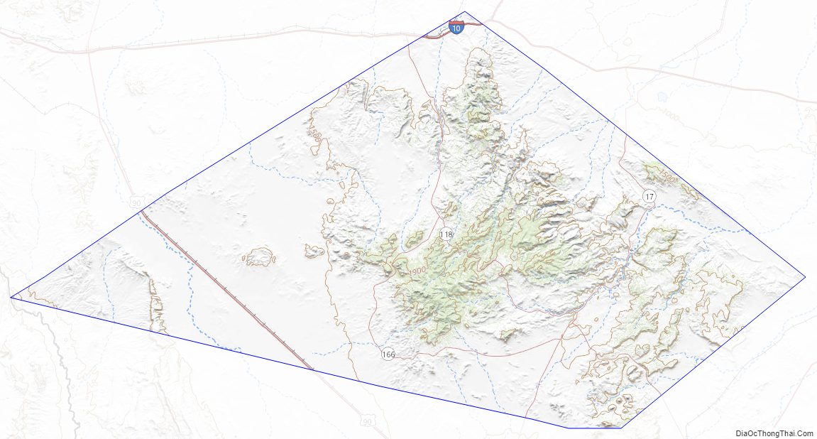
Jeff Davis County Road Map
Geography
According to the U.S. Census Bureau, the county has a total area of 2,265 square miles (5,870 km), virtually all of which is land. The county is home to the Davis Mountains, the highest mountain range located entirely within Texas.
Protected areas
The county has parks and preserves maintained by federal and state park services, in addition to the Chihuahuan Desert Research Institute and the Nature Conservancy of Texas. In addition to the properties listed below, the Nature Conservancy has been instrumental in the creation of conservation easements protecting an additional 69,600 acres (28,200 ha) of private property surrounding its preserve.
Major highways
- Interstate 10
- U.S. Highway 90
- State Highway 17
- State Highway 118
- State Highway 166
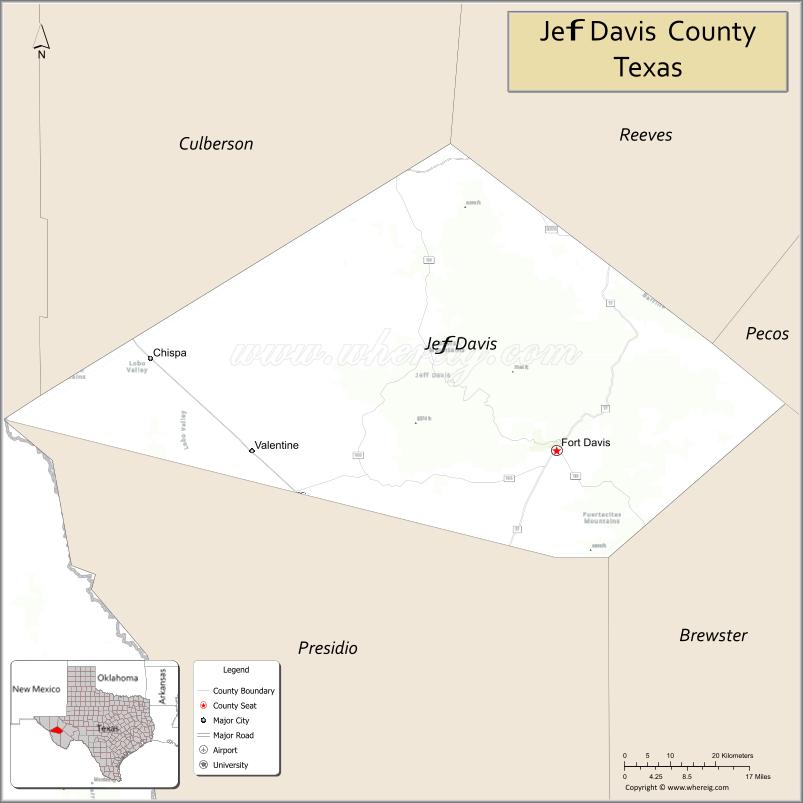
Adjacent counties and municipalities
- Reeves County (north)
- Pecos County (north)
- Brewster County (southeast)
- Presidio County (south)
- Guadalupe, Chihuahua, Mexico (west)
- Hudspeth County (northwest)
- Culberson County (north)
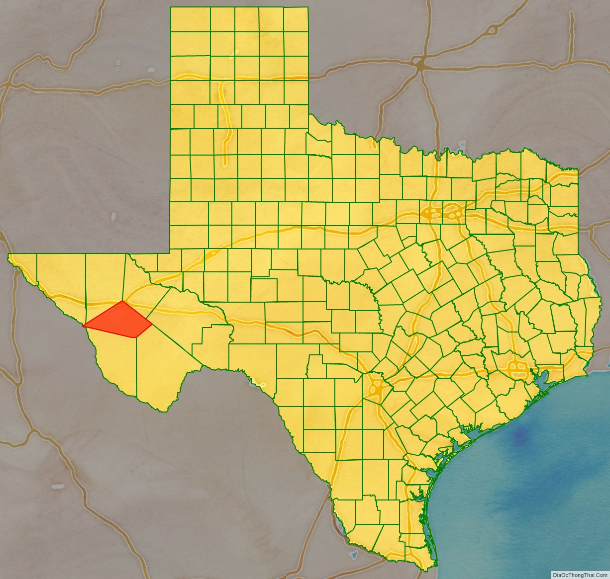
Jeff Davis County Topographic Map
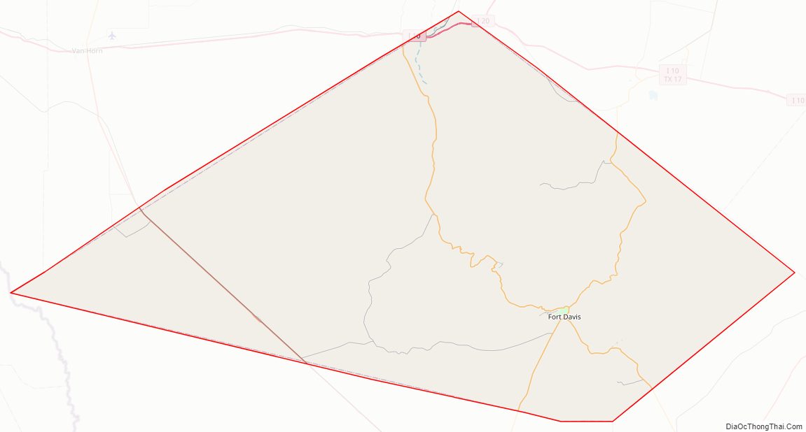
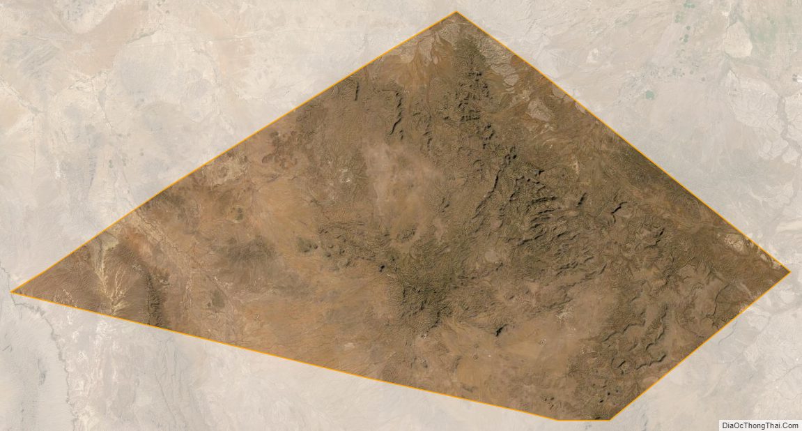
Jeff Davis County Satellite Map
Jeff Davis County Outline Map

See also
Map of Texas State and its subdivision:- Anderson
- Andrews
- Angelina
- Aransas
- Archer
- Armstrong
- Atascosa
- Austin
- Bailey
- Bandera
- Bastrop
- Baylor
- Bee
- Bell
- Bexar
- Blanco
- Borden
- Bosque
- Bowie
- Brazoria
- Brazos
- Brewster
- Briscoe
- Brooks
- Brown
- Burleson
- Burnet
- Caldwell
- Calhoun
- Callahan
- Cameron
- Camp
- Carson
- Cass
- Castro
- Chambers
- Cherokee
- Childress
- Clay
- Cochran
- Coke
- Coleman
- Collin
- Collingsworth
- Colorado
- Comal
- Comanche
- Concho
- Cooke
- Coryell
- Cottle
- Crane
- Crockett
- Crosby
- Culberson
- Dallam
- Dallas
- Dawson
- Deaf Smith
- Delta
- Denton
- Dewitt
- Dickens
- Dimmit
- Donley
- Duval
- Eastland
- Ector
- Edwards
- El Paso
- Ellis
- Erath
- Falls
- Fannin
- Fayette
- Fisher
- Floyd
- Foard
- Fort Bend
- Franklin
- Freestone
- Frio
- Gaines
- Galveston
- Garza
- Gillespie
- Glasscock
- Goliad
- Gonzales
- Gray
- Grayson
- Gregg
- Grimes
- Guadalupe
- Hale
- Hall
- Hamilton
- Hansford
- Hardeman
- Hardin
- Harris
- Harrison
- Hartley
- Haskell
- Hays
- Hemphill
- Henderson
- Hidalgo
- Hill
- Hockley
- Hood
- Hopkins
- Houston
- Howard
- Hudspeth
- Hunt
- Hutchinson
- Irion
- Jack
- Jackson
- Jasper
- Jeff Davis
- Jefferson
- Jim Hogg
- Jim Wells
- Johnson
- Jones
- Karnes
- Kaufman
- Kendall
- Kenedy
- Kent
- Kerr
- Kimble
- King
- Kinney
- Kleberg
- Knox
- La Salle
- Lamar
- Lamb
- Lampasas
- Lavaca
- Lee
- Leon
- Liberty
- Limestone
- Lipscomb
- Live Oak
- Llano
- Loving
- Lubbock
- Lynn
- Madison
- Marion
- Martin
- Mason
- Matagorda
- Maverick
- McCulloch
- McLennan
- McMullen
- Medina
- Menard
- Midland
- Milam
- Mills
- Mitchell
- Montague
- Montgomery
- Moore
- Morris
- Motley
- Nacogdoches
- Navarro
- Newton
- Nolan
- Nueces
- Ochiltree
- Oldham
- Orange
- Palo Pinto
- Panola
- Parker
- Parmer
- Pecos
- Polk
- Potter
- Presidio
- Rains
- Randall
- Reagan
- Real
- Red River
- Reeves
- Refugio
- Roberts
- Robertson
- Rockwall
- Runnels
- Rusk
- Sabine
- San Augustine
- San Jacinto
- San Patricio
- San Saba
- Schleicher
- Scurry
- Shackelford
- Shelby
- Sherman
- Smith
- Somervell
- Starr
- Stephens
- Sterling
- Stonewall
- Sutton
- Swisher
- Tarrant
- Taylor
- Terrell
- Terry
- Throckmorton
- Titus
- Tom Green
- Travis
- Trinity
- Tyler
- Upshur
- Upton
- Uvalde
- Val Verde
- Van Zandt
- Victoria
- Walker
- Waller
- Ward
- Washington
- Webb
- Wharton
- Wheeler
- Wichita
- Wilbarger
- Willacy
- Williamson
- Wilson
- Winkler
- Wise
- Wood
- Yoakum
- Young
- Zapata
- Zavala
- Alabama
- Alaska
- Arizona
- Arkansas
- California
- Colorado
- Connecticut
- Delaware
- District of Columbia
- Florida
- Georgia
- Hawaii
- Idaho
- Illinois
- Indiana
- Iowa
- Kansas
- Kentucky
- Louisiana
- Maine
- Maryland
- Massachusetts
- Michigan
- Minnesota
- Mississippi
- Missouri
- Montana
- Nebraska
- Nevada
- New Hampshire
- New Jersey
- New Mexico
- New York
- North Carolina
- North Dakota
- Ohio
- Oklahoma
- Oregon
- Pennsylvania
- Rhode Island
- South Carolina
- South Dakota
- Tennessee
- Texas
- Utah
- Vermont
- Virginia
- Washington
- West Virginia
- Wisconsin
- Wyoming