Kay County is a county located in the U.S. state of Oklahoma. As of the 2020 census, its population was 43,700. Its county seat is Newkirk, and the largest city is Ponca City.
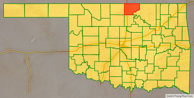
Kay County comprises the Ponca City micropolitan statistical area. It is in north-central Oklahoma on the Kansas state line.
Before statehood, Kay County was formed from the “Cherokee Strip” or “Cherokee Outlet” and originally designated as county “K”. Its name means simply that. Kay County is the only county to keep its same name as the Oklahoma area moved from a territory to a state.
| Name: | Kay County |
|---|---|
| FIPS code: | 40-071 |
| State: | Oklahoma |
| Founded: | 1893 |
| Seat: | Newkirk |
| Largest city: | Ponca City |
| Total Area: | 945 sq mi (2,450 km²) |
| Land Area: | 920 sq mi (2,400 km²) |
| Total Population: | 46,562 |
| Population Density: | 46/sq mi (18/km²) |
| Time zone: | UTC−6 (Central) |
| Summer Time Zone (DST): | UTC−5 (CDT) |
| Website: | www.courthouse.kay.ok.us/home.html |
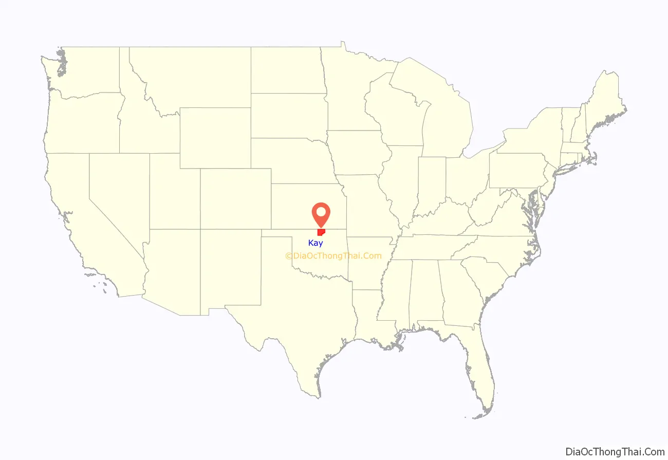
Kay County location map. Where is Kay County?
History
The remains of two large 18th-century villages, the Deer Creek/Bryson Paddock Sites, of Wichita Native Americans have been found overlooking the Arkansas River in Kay County. The Osage used Kay County for hunting in the late 18th and early 19th centuries. In 1825, the Osage ceded to the U.S. government their rights to a large expanse of land, including Kay County, and the government gave the Cherokee ownership of the land after their migration to Oklahoma in the 1830s.
After the Civil War, the Cherokee Nation was forced to allow the federal government to relocate other Native American tribes to settle in the area known as the Cherokee Outlet. The Kansa (Kaw) arrived in June 1873, settling in what became the northeastern part of Kay County. The Ponca followed in 1877. The Nez Perce came from the Pacific Northwest in 1879, but remained only until 1885, when they returned to their earlier homeland. Their assigned land in Oklahoma was then occupied by the Tonkawa and Lipan Apache peoples. Most of Kay County became open to non-Native American settlement in 1893 with the Cherokee Strip Land Run in which thousands of people rushed into Kay County to claim free land.
The Chilocco Indian Agricultural School, north of Newkirk, was a boarding school for Indians that operated from 1884 to 1980. Its enrollment peaked at 1,300 in the 1950s and its graduates include members of 126 Indian tribes. The distinguished old buildings of the school were constructed of local limestone.
In 2010, the Keystone-Cushing Pipeline (Phase II) was constructed north to south through Kay County to Cushing in Payne County.
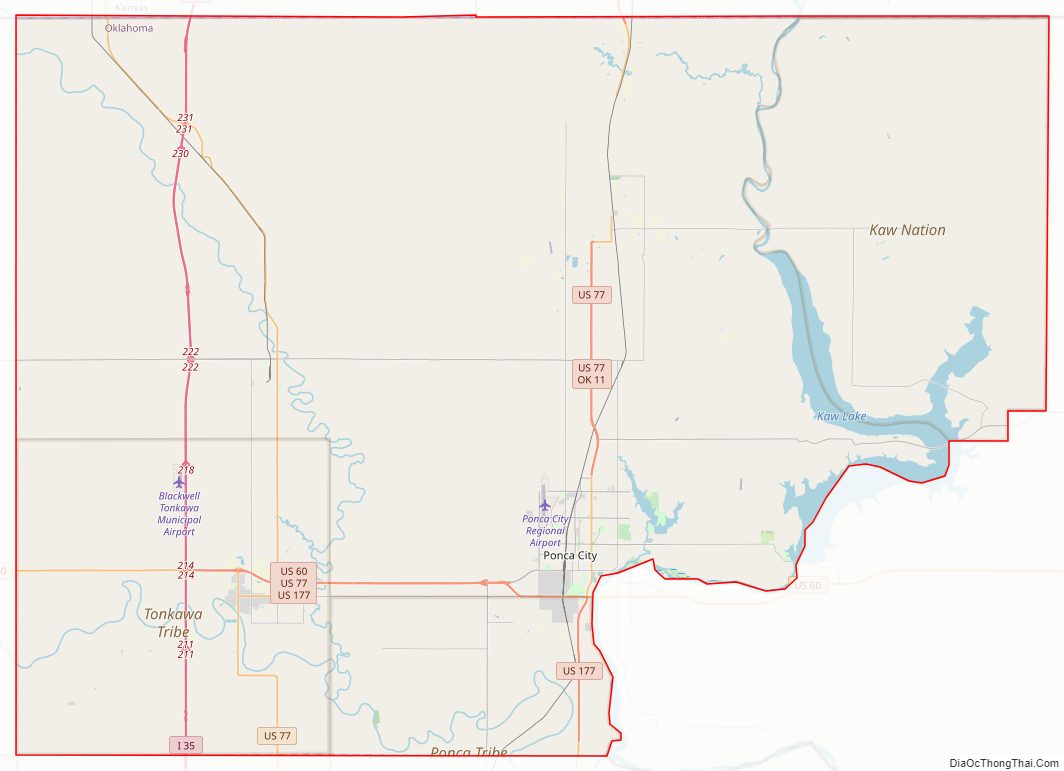
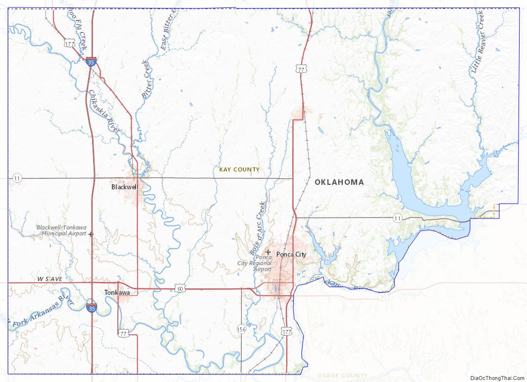
Kay County Road Map
Geography
According to the U.S. Census Bureau, the county has a total area of 945 sq mi (2,450 km), of which 25 square miles (65 km) (2.7%) are covered by water. The highest point in Kay County, Oklahoma, is west of North Sage Lane (36′56″12°N, 96′53″40°W), at 1,310 feet (400 m) above sea level. The lowest point is 891 feet (272 m) where the Arkansas River leaves the county.
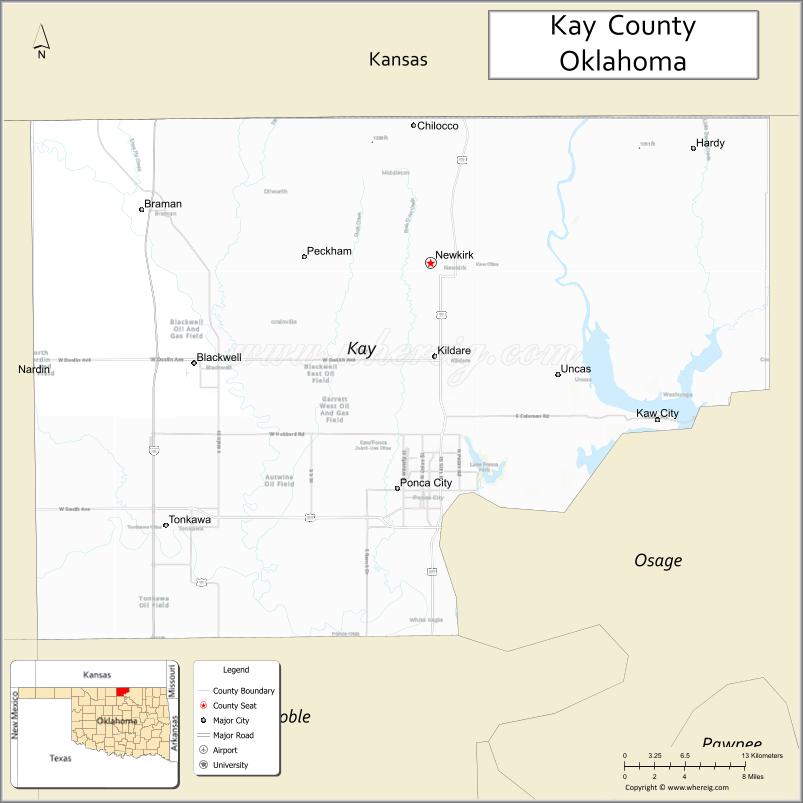
The northern boundary is the border with Kansas and its eastern boundary is with Osage County. Kaw Lake, a large reservoir on the Arkansas River completed in 1975 includes most of the water area of the country. East of Kaw Lake and the Arkansas River is the region called the Osage Hills or The Osage, a tall-grass prairie region of large livestock, mostly cattle, ranches. West of the Arkansas River the land is flatter and a mixture of cultivated lands and livestock ranches. Principal rivers flowing through the county are the Chikaskia River, the Arkansas River and the Salt Fork of the Arkansas River.
Major highways
- Interstate 35
- U.S. Highway 60
- U.S. Highway 77
- U.S. Highway 177
- State Highway 11
- State Highway 156
Adjacent counties
- Cowley County, Kansas (north)
- Garfield County (southwest)
- Grant County (west)
- Noble County (south)
- Osage County (east)
- Sumner County, Kansas (north)
Kay County Topographic Map
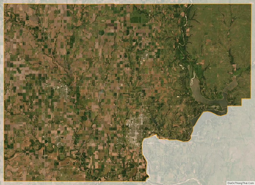
Kay County Satellite Map
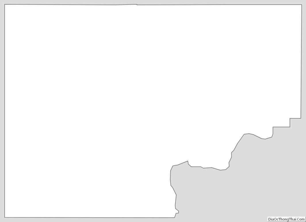
Kay County Outline Map
See also
Map of Oklahoma State and its subdivision:- Adair
- Alfalfa
- Atoka
- Beaver
- Beckham
- Blaine
- Bryan
- Caddo
- Canadian
- Carter
- Cherokee
- Choctaw
- Cimarron
- Cleveland
- Coal
- Comanche
- Cotton
- Craig
- Creek
- Custer
- Delaware
- Dewey
- Ellis
- Garfield
- Garvin
- Grady
- Grant
- Greer
- Harmon
- Harper
- Haskell
- Hughes
- Jackson
- Jefferson
- Johnston
- Kay
- Kingfisher
- Kiowa
- Latimer
- Le Flore
- Lincoln
- Logan
- Love
- Major
- Marshall
- Mayes
- McClain
- McCurtain
- McIntosh
- Murray
- Muskogee
- Noble
- Nowata
- Okfuskee
- Oklahoma
- Okmulgee
- Osage
- Ottawa
- Pawnee
- Payne
- Pittsburg
- Pontotoc
- Pottawatomie
- Pushmataha
- Roger Mills
- Rogers
- Seminole
- Sequoyah
- Stephens
- Texas
- Tillman
- Tulsa
- Wagoner
- Washington
- Washita
- Woods
- Woodward
- Alabama
- Alaska
- Arizona
- Arkansas
- California
- Colorado
- Connecticut
- Delaware
- District of Columbia
- Florida
- Georgia
- Hawaii
- Idaho
- Illinois
- Indiana
- Iowa
- Kansas
- Kentucky
- Louisiana
- Maine
- Maryland
- Massachusetts
- Michigan
- Minnesota
- Mississippi
- Missouri
- Montana
- Nebraska
- Nevada
- New Hampshire
- New Jersey
- New Mexico
- New York
- North Carolina
- North Dakota
- Ohio
- Oklahoma
- Oregon
- Pennsylvania
- Rhode Island
- South Carolina
- South Dakota
- Tennessee
- Texas
- Utah
- Vermont
- Virginia
- Washington
- West Virginia
- Wisconsin
- Wyoming