Kingfisher County is a county located in the U.S. state of Oklahoma. As of the 2010 census, the population was 15,034. Its county seat is Kingfisher. The county was formed in 1890 and named Kingfisher by a vote of residents.
The land was given to the Creek Nation by the federal government, but was taken back after the American Civil War.
| Name: | Kingfisher County |
|---|---|
| FIPS code: | 40-073 |
| State: | Oklahoma |
| Founded: | May 2, 1890 |
| Seat: | Kingfisher |
| Largest city: | Kingfisher |
| Total Area: | 906 sq mi (2,350 km²) |
| Land Area: | 898 sq mi (2,330 km²) |
| Total Population: | 15,034 |
| Population Density: | 17/sq mi (7/km²) |
| Time zone: | UTC−6 (Central) |
| Summer Time Zone (DST): | UTC−5 (CDT) |
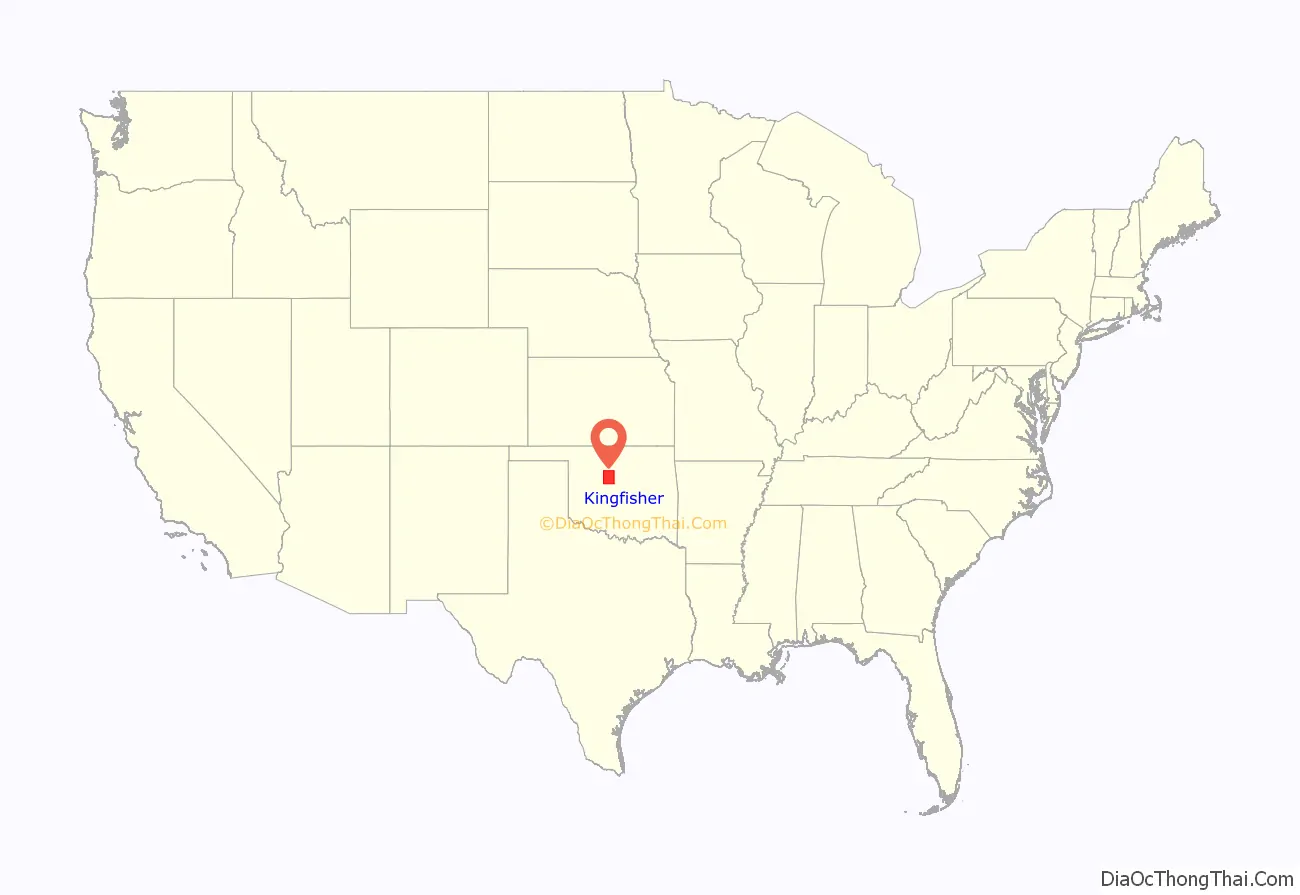
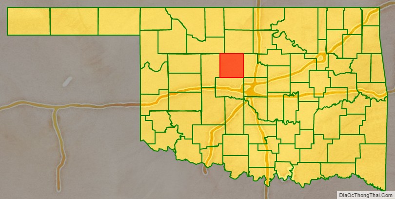
Kingfisher County location map. Where is Kingfisher County?
History
Limited archaeological surveys may have discovered evidence of pre-contact peoples, including Paleo-Indian and Archaic (6000 BC – 1 AD) groups that used the area for hunting and foraging. The historic Osage, Cheyenne, and Comanche tribes traversed the prairie grasslands of this area.
Before the county’s creation, The Chisholm Trail’s many routes crossed the area. A stage road which paralleled the trail had important stops at Dover Station, King Fisher Station and Baker Station.
The area was given to the Creek Nation by the federal government after their forced removal from Georgia. At the end of the American Civil War, the Creeks were forced to cede the land back to the federal government for siding with the Confederacy. It became part of the Unassigned Lands, and the area was opened to non-Indian settlement in the land run on April 22, 1889. Several towns, including Kingfisher, Oklahoma developed soon after the land run.
Originally this area was called County 5, when the Organic Act of May 2, 1890 created Oklahoma Territory. At an August 5, 1890 election, the voters of County 5 overwhelmingly voted for the name “Kingfisher” over “Hennessey” and “Harrison”. The origin of the name is unclear. The Encyclopedia of Oklahoma History and Culture mentions three different possibilities. The first is that the name memorialized a local rancher, David King Fisher. The second version is that King and Fisher were two different settlers, whose names were combined for the county and town. The third explanation was that the name was for a rancher named John Fisher and for whom Uncle Johns Creek was named.
In November, 2022, the county gained national attention when four Chinese nationals were murdered, execution-style, at a Chinese-run marijuana farm at the crossroads hamlet of Lacey, near Hennessey. Prior to that, the farm had drawn some attention to itself by having armed guards visible at its perimeters, who hasselled anyone stopping nearby, including postal delivery personnel.
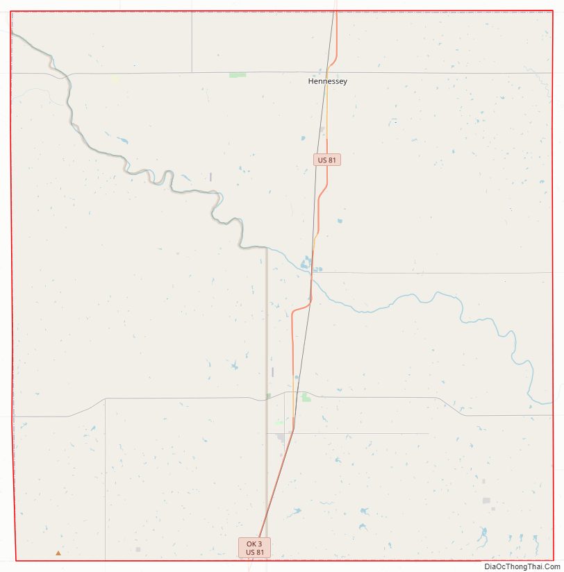
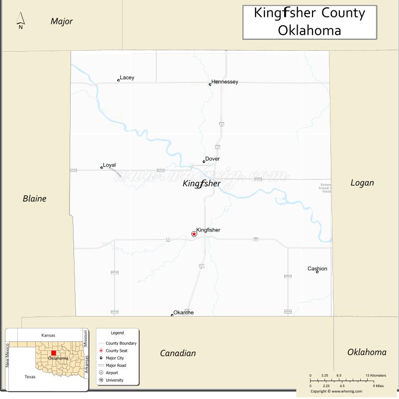
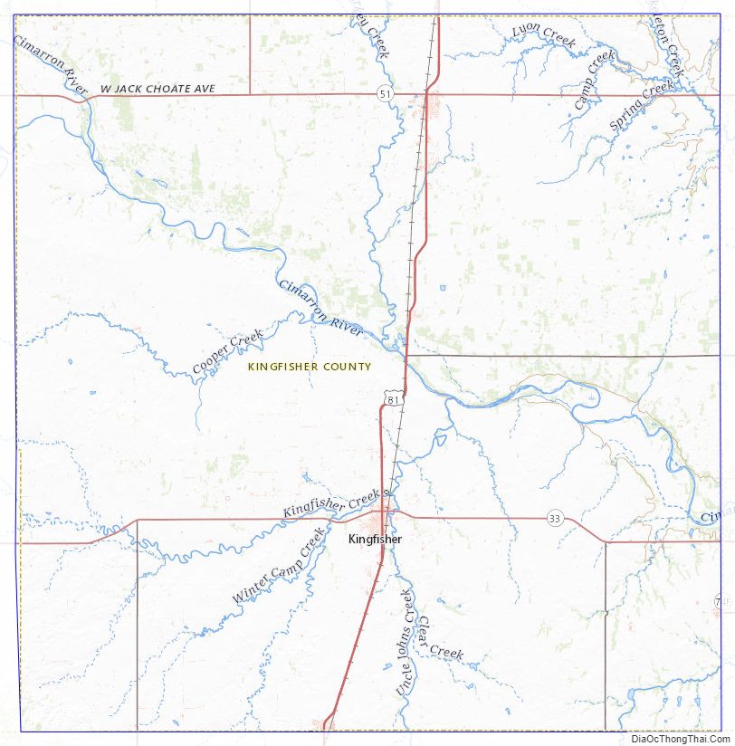
Kingfisher County Road Map
Geography
According to the U.S. Census Bureau, the county has a total area of 906 square miles (2,350 km), of which 898 square miles (2,330 km) is land and 7.9 square miles (20 km) (0.9%) is water. The principal waterway is the Cimarron River, which runs from northwest to east through the county.
Major highways
- U.S. Highway 81
- State Highway 3
- State Highway 33
- State Highway 51
- State Highway 132
Adjacent counties
- Garfield County (north)
- Logan County (east)
- Canadian County (south)
- Blaine County (west)
- Major County (northwest)
- Oklahoma County (southeast)
Kingfisher County Topographic Map
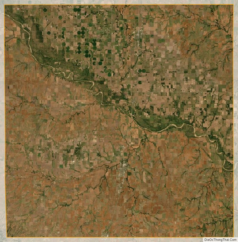
Kingfisher County Satellite Map
Kingfisher County Outline Map

See also
Map of Oklahoma State and its subdivision:- Adair
- Alfalfa
- Atoka
- Beaver
- Beckham
- Blaine
- Bryan
- Caddo
- Canadian
- Carter
- Cherokee
- Choctaw
- Cimarron
- Cleveland
- Coal
- Comanche
- Cotton
- Craig
- Creek
- Custer
- Delaware
- Dewey
- Ellis
- Garfield
- Garvin
- Grady
- Grant
- Greer
- Harmon
- Harper
- Haskell
- Hughes
- Jackson
- Jefferson
- Johnston
- Kay
- Kingfisher
- Kiowa
- Latimer
- Le Flore
- Lincoln
- Logan
- Love
- Major
- Marshall
- Mayes
- McClain
- McCurtain
- McIntosh
- Murray
- Muskogee
- Noble
- Nowata
- Okfuskee
- Oklahoma
- Okmulgee
- Osage
- Ottawa
- Pawnee
- Payne
- Pittsburg
- Pontotoc
- Pottawatomie
- Pushmataha
- Roger Mills
- Rogers
- Seminole
- Sequoyah
- Stephens
- Texas
- Tillman
- Tulsa
- Wagoner
- Washington
- Washita
- Woods
- Woodward
- Alabama
- Alaska
- Arizona
- Arkansas
- California
- Colorado
- Connecticut
- Delaware
- District of Columbia
- Florida
- Georgia
- Hawaii
- Idaho
- Illinois
- Indiana
- Iowa
- Kansas
- Kentucky
- Louisiana
- Maine
- Maryland
- Massachusetts
- Michigan
- Minnesota
- Mississippi
- Missouri
- Montana
- Nebraska
- Nevada
- New Hampshire
- New Jersey
- New Mexico
- New York
- North Carolina
- North Dakota
- Ohio
- Oklahoma
- Oregon
- Pennsylvania
- Rhode Island
- South Carolina
- South Dakota
- Tennessee
- Texas
- Utah
- Vermont
- Virginia
- Washington
- West Virginia
- Wisconsin
- Wyoming