Kingsbury County is a county in the U.S. state of South Dakota. As of the 2020 census, the population was 5,187. Its county seat is De Smet. The county was created in 1873, and was organized in 1880. It was named for brothers George W. and T. A. Kingsbury, descendants of the colonial English Kingsbury family in Boston, Massachusetts. They were prominently involved in the affairs of Dakota Territory and served as elected members of several Territorial Legislatures.
| Name: | Kingsbury County |
|---|---|
| FIPS code: | 46-077 |
| State: | South Dakota |
| Founded: | 1873 |
| Named for: | George W. Kingsbury & T.A. Kingsbury |
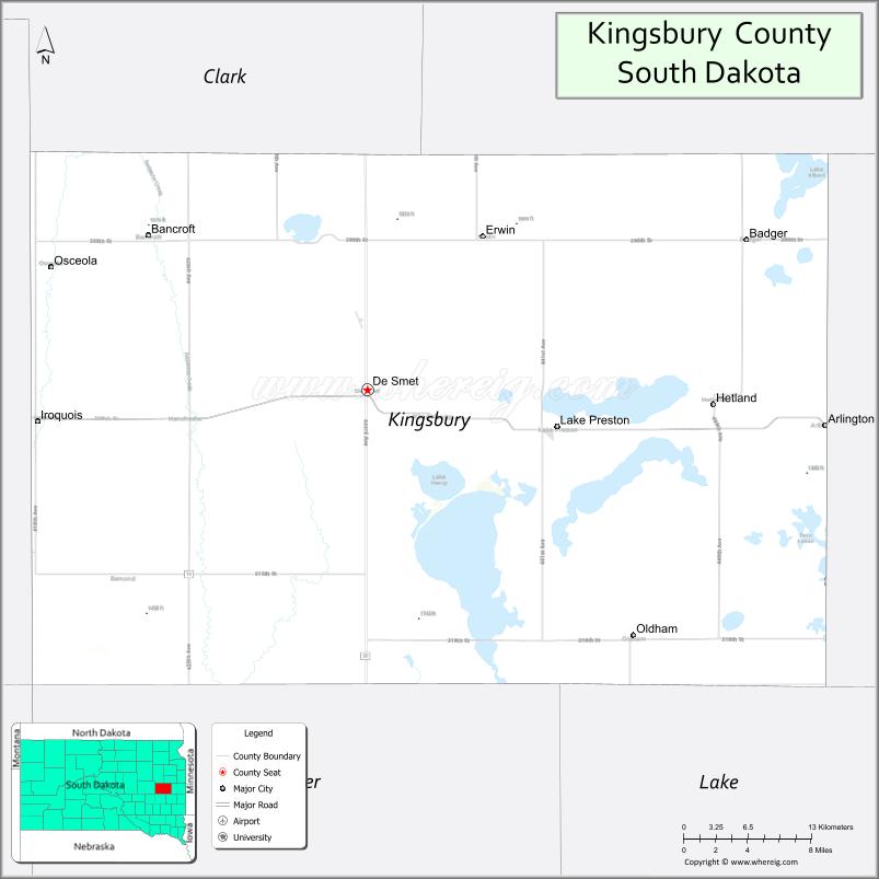
| Seat: | De Smet |
| Largest city: | De Smet |
| Total Area: | 864 sq mi (2,240 km²) |
| Land Area: | 832 sq mi (2,150 km²) |
| Total Population: | 5,187 |
| Population Density: | 6.0/sq mi (2.3/km²) |
| Time zone: | UTC−6 (Central) |
| Summer Time Zone (DST): | UTC−5 (CDT) |
| Website: | kingsbury.sdcounties.org |
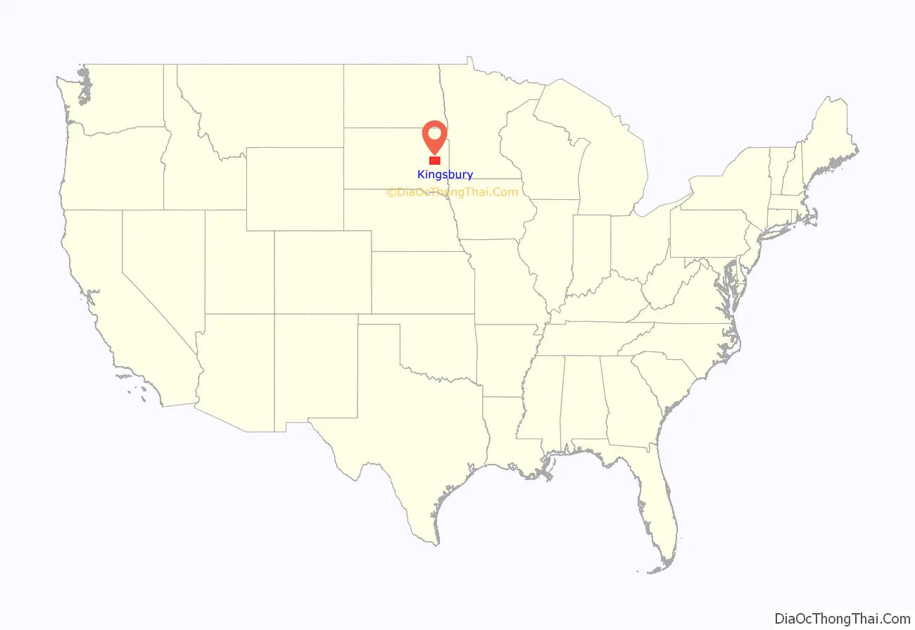
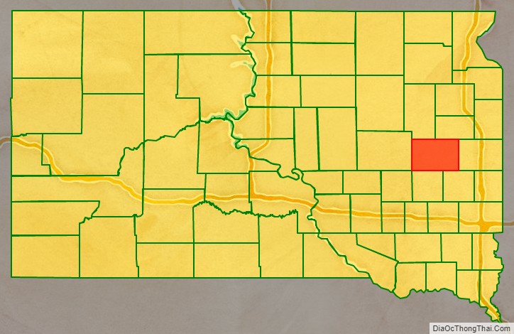
Kingsbury County location map. Where is Kingsbury County?
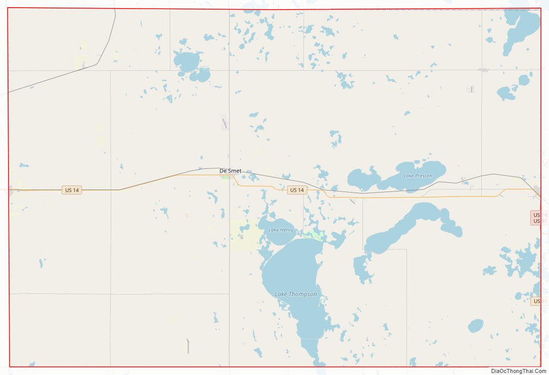
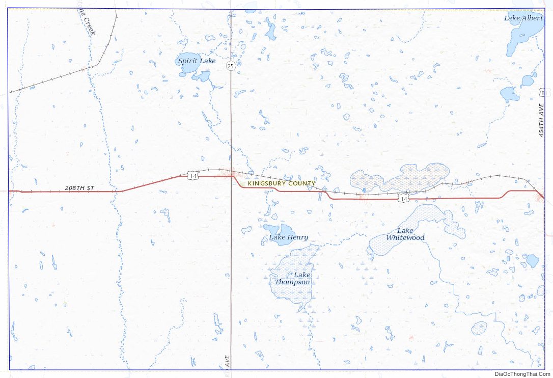
Kingsbury County Road Map
Geography
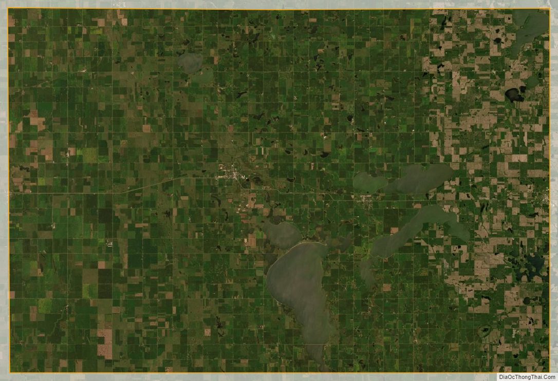
The terrain of Kingsbury County consists of low rolling hills. The central and east portions of the county hold numerous lakes and ponds. The land is largely devoted to agriculture. The terrain generally slopes to the southwest, and the highest point is near the midpoint of the east boundary line, at 1,857′ (566m) ASL. The county has a total area of 864 square miles (2,240 km), of which 832 square miles (2,150 km) is land and 3.6 square miles (9.3 km) (6.2%) is water.
Lakes
- Cherry Lake
- Mud Lake
- Lake Albert
- Lake Badger
- Lake Henry
- Lake Iroquois
- Lake Preston
- Lake Thisted
- Lake Thompson
- Lake Whitewood
- Osceola Lake
- Plum Lake
- Spring Lake
- Spirit Lake
- Twin Lakes (partial)
Major highways
- U.S. Highway 14
- U.S. Highway 81
- South Dakota Highway 25
Adjacent counties
- Hamlin County – northeast
- Brookings County – east
- Lake County – southeast
- Miner County – south
- Sanborn County – southwest
- Beadle County – west
- Clark County – northwest
Protected areas
- Arnold State Public Shooting Area
Kingsbury County Topographic Map
Kingsbury County Satellite Map
Kingsbury County Outline Map

See also
Map of South Dakota State and its subdivision:- Aurora
- Beadle
- Bennett
- Bon Homme
- Brookings
- Brown
- Brule
- Buffalo
- Butte
- Campbell
- Charles Mix
- Clark
- Clay
- Codington
- Corson
- Custer
- Davison
- Day
- Deuel
- Dewey
- Douglas
- Edmunds
- Fall River
- Faulk
- Grant
- Gregory
- Haakon
- Hamlin
- Hand
- Hanson
- Harding
- Hughes
- Hutchinson
- Hyde
- Jackson
- Jerauld
- Jones
- Kingsbury
- Lake
- Lawrence
- Lincoln
- Lyman
- Marshall
- McCook
- McPherson
- Meade
- Mellette
- Miner
- Minnehaha
- Moody
- Pennington
- Perkins
- Potter
- Roberts
- Sanborn
- Shannon
- Spink
- Stanley
- Sully
- Todd
- Tripp
- Turner
- Union
- Walworth
- Yankton
- Ziebach
- Alabama
- Alaska
- Arizona
- Arkansas
- California
- Colorado
- Connecticut
- Delaware
- District of Columbia
- Florida
- Georgia
- Hawaii
- Idaho
- Illinois
- Indiana
- Iowa
- Kansas
- Kentucky
- Louisiana
- Maine
- Maryland
- Massachusetts
- Michigan
- Minnesota
- Mississippi
- Missouri
- Montana
- Nebraska
- Nevada
- New Hampshire
- New Jersey
- New Mexico
- New York
- North Carolina
- North Dakota
- Ohio
- Oklahoma
- Oregon
- Pennsylvania
- Rhode Island
- South Carolina
- South Dakota
- Tennessee
- Texas
- Utah
- Vermont
- Virginia
- Washington
- West Virginia
- Wisconsin
- Wyoming