Kiowa County is a county located in the U.S. state of Colorado. As of the 2020 census, the population was 1,446, making it the fifth-least populous county in Colorado. The county seat is Eads. The county was named for the Kiowa Nation of Native Americans.
| Name: | Kiowa County |
|---|---|
| FIPS code: | 08-061 |
| State: | Colorado |
| Founded: | April 11, 1889 |
| Named for: | Kiowa Nation |
| Seat: | Eads |
| Largest town: | Eads |
| Total Area: | 1,786 sq mi (4,630 km²) |
| Land Area: | 1,768 sq mi (4,580 km²) |
| Total Population: | 1,452 |
| Population Density: | 0.8/sq mi (0.3/km²) |
| Time zone: | UTC−7 (Mountain) |
| Summer Time Zone (DST): | UTC−6 (MDT) |
| Website: | www.kiowacounty-colorado.com |
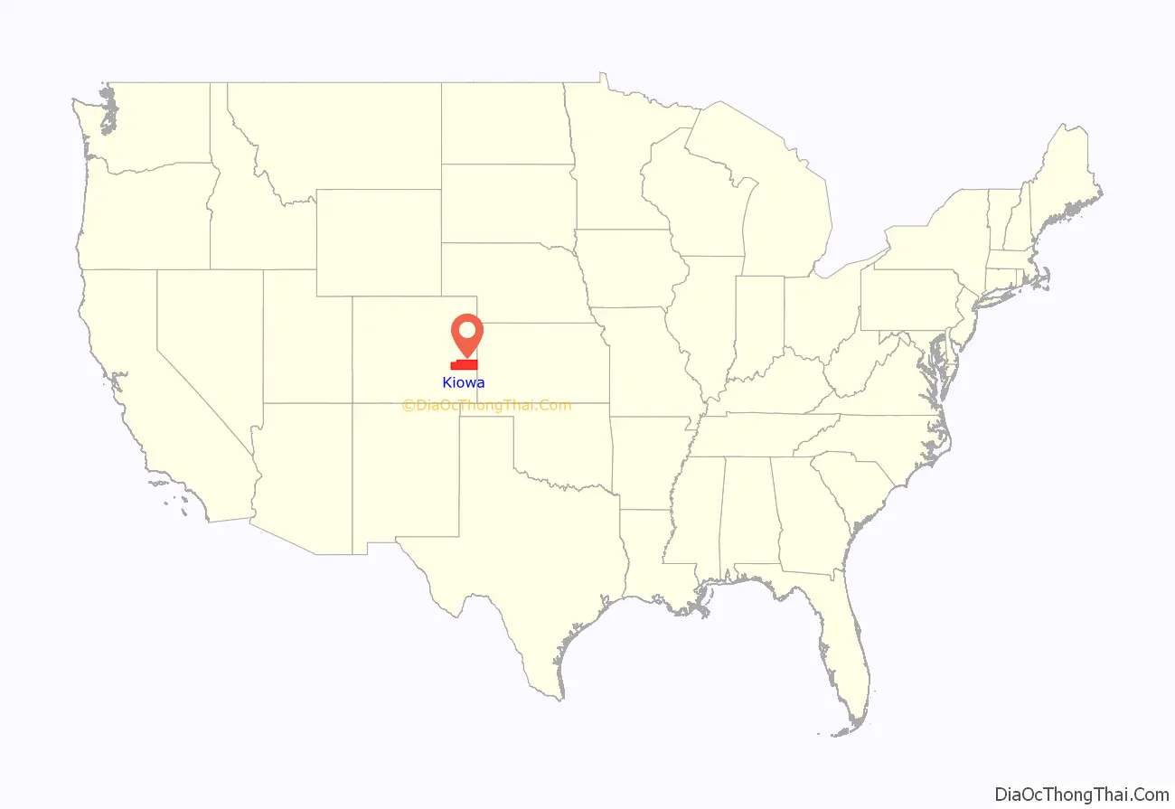
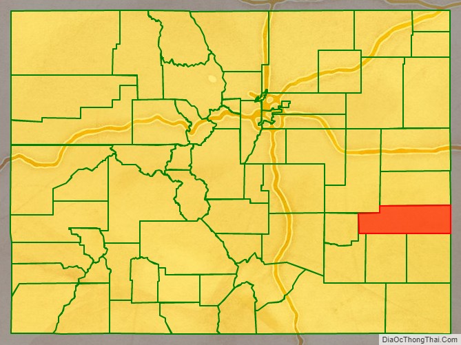
Kiowa County location map. Where is Kiowa County?
History
Sand Creek massacre
On November 29, 1864, more than a decade before Colorado became a state and long before Kiowa County was formed, a massacre of Native Americans—a group of old men, women, and children—occurred on Sand Creek that initially was greeted as a victory in the Colorado War against hostile Indians; within months, Congressional inquiries revealed a different picture, and a national scandal erupted. It happened in what is now Kiowa County and is known as the Sand Creek Massacre.
Territorial Governor John Evans eventually lost his job for his part in setting up the incident, and Colonel John Chivington, commander of the U.S. forces, was castigated by the United States Congress, and the scandal followed him for the rest of his life. Evans would go on to make significant important contributions to the early Denver community, and while Chivington also made some, his reputation remained tainted, while Evans is still honored today.
The location was not positively identified until 1999, and in 2005, the National Park Service established the Sand Creek Massacre National Historic Site. Currently, the facilities include a small visitor’s center, two walking trails, signage, and monuments overlooking the massacre site. The massacre site itself is off-limits to visitors.
Railroad and agriculture in the 1880s
In the late 1880s, eastern Colorado attracted a lot of attention by farming interests that didn’t yet know that long-term agriculture was unsustainable in this arid landscape, and the railroads were snaking west across the plains towards the gold fields of the Rocky Mountains during the Colorado Gold Rush. The Missouri Pacific Railroad crossed into what would soon become Kiowa County, Colorado, from Kansas in 1887.
Several small camps for railroad workers were established just over the border from Kansas, and beginning after the town of Sheridan Lake, new towns and camps were sequentially named, alphabetically, starting with “A” and proceeding westward along the railroad line.
Arden, Brandon, Chivington, Diston, Eads, Fergus, Galatea, Haswell, Inman, Joliet, and Kilburn appeared one after another, some developing into towns, others being only a pipe dream in the eyes of developers. Chivington was intended as a major watering stop for the railroad (a 60-room, $10,000 “crown jewel” hotel was initially built there), but the water was too alkaline to use and the trains instead stopped in Kansas to tank up. The hotel was soon torn down, its materials shipped to other Colorado locations to use in constructing other facilities—a common occurrence in late 19th century Colorado, as boom towns went bust.
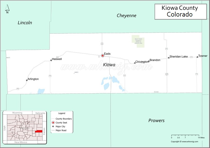
Kiowa County was established in 1889, taking its name from the Kiowa Indians who lived in eastern Colorado before the Europeans arrived. Sheridan Lake was the county seat of Kiowa County and was not at first a stop on the railroad line; only after local citizens built a railroad depot and turned it over to the Missouri Pacific did the railroad build a telegraph station and make Sheridan Lake a stop. The county seat moved to rival Eads in 1902.
Kiowa County today
Agriculture in eastern Colorado collapsed in the dust bowl days of the 1930s; today mostly dry-land farms and some ranching interests survive. Colorado’s Front Range cities and agriculture interests upstream have acquired most of the water rights, and the groundwater aquifers are drying up. Kiowa County faces ever-decreasing water supplies and further economic decline.
It is conceivable that much of the county will eventually revert to its original sparse grassland and prairie conditions of the pre-1880s.
Today Eads, along the old railroad line, is the largest town in the county. It is the Kiowa county seat, serves the surviving farming and ranching interests, and hosts the county’s largest high school. Sheridan Lake does have a combined junior-and-senior high, and still surviving in some form are the towns of Towner, Arlington, Brandon, Chivington, and Haswell.
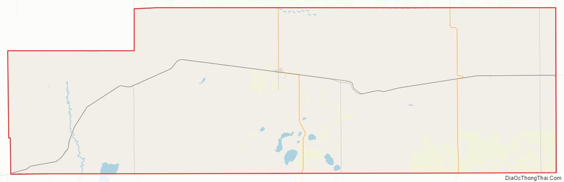
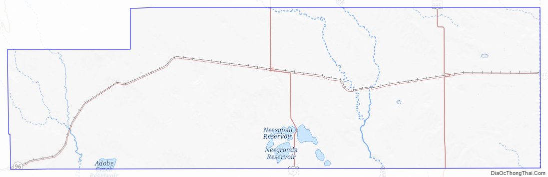
Kiowa County Road Map
Geography
According to the U.S. Census Bureau, the county has a total area of 1,786 square miles (4,630 km), of which 1,768 square miles (4,580 km) is land and 18 square miles (47 km) (1.0%) is water.
Significant drainage basins in the county are Adobe-Johns Creek and Mustang Creek which drain the county’s western part, Rush Creek and Big Sandy Creek in the central part and Wildhorse, Buffalo, and White Woman Creeks in the eastern part. The draws tend to be intermittent, however Adobe-Johns, Rush and Big Sandy Creeks have small continuous flows during wetter years. Each of these creeks ultimately drain to the Arkansas River.
Adjacent counties
- Cheyenne County – north
- Greeley County, Kansas – east
- Bent County – south
- Prowers County – south
- Otero County – southwest
- Crowley County – west
- Lincoln County – northwest
Major Highways
- U.S. Highway 287
- U.S. Highway 385
- State Highway 96
National protected area
- Sand Creek Massacre National Historic Site
Bicycle route
- TransAmerica Trail Bicycle Route
Kiowa County Topographic Map
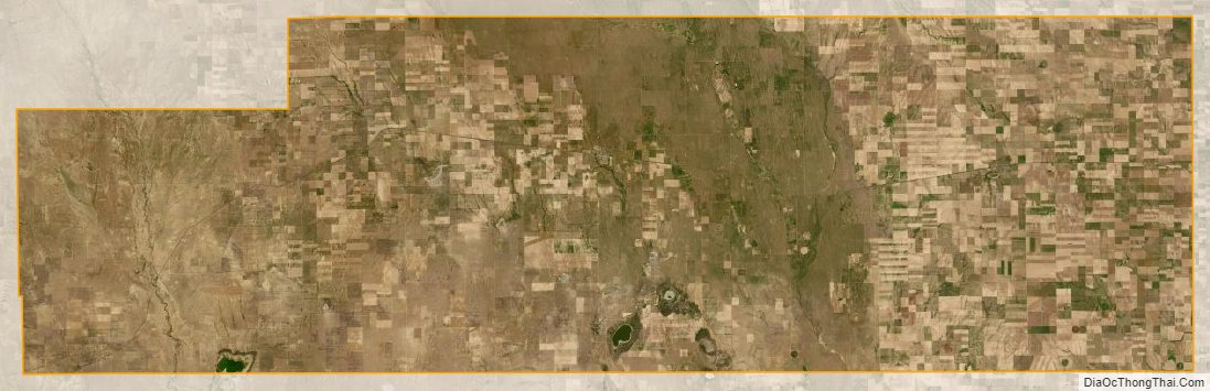
Kiowa County Satellite Map
Kiowa County Outline Map

See also
Map of Colorado State and its subdivision:- Adams
- Alamosa
- Arapahoe
- Archuleta
- Baca
- Bent
- Boulder
- Broomfield
- Chaffee
- Cheyenne
- Clear Creek
- Conejos
- Costilla
- Crowley
- Custer
- Delta
- Denver
- Dolores
- Douglas
- Eagle
- El Paso
- Elbert
- Fremont
- Garfield
- Gilpin
- Grand
- Gunnison
- Hinsdale
- Huerfano
- Jackson
- Jefferson
- Kiowa
- Kit Carson
- La Plata
- Lake
- Larimer
- Las Animas
- Lincoln
- Logan
- Mesa
- Mineral
- Moffat
- Montezuma
- Montrose
- Morgan
- Otero
- Ouray
- Park
- Phillips
- Pitkin
- Prowers
- Pueblo
- Rio Blanco
- Rio Grande
- Routt
- Saguache
- San Juan
- San Miguel
- Sedgwick
- Summit
- Teller
- Washington
- Weld
- Yuma
- Alabama
- Alaska
- Arizona
- Arkansas
- California
- Colorado
- Connecticut
- Delaware
- District of Columbia
- Florida
- Georgia
- Hawaii
- Idaho
- Illinois
- Indiana
- Iowa
- Kansas
- Kentucky
- Louisiana
- Maine
- Maryland
- Massachusetts
- Michigan
- Minnesota
- Mississippi
- Missouri
- Montana
- Nebraska
- Nevada
- New Hampshire
- New Jersey
- New Mexico
- New York
- North Carolina
- North Dakota
- Ohio
- Oklahoma
- Oregon
- Pennsylvania
- Rhode Island
- South Carolina
- South Dakota
- Tennessee
- Texas
- Utah
- Vermont
- Virginia
- Washington
- West Virginia
- Wisconsin
- Wyoming