Koochiching County (/ˈkuːtʃɪtʃɪŋ/ KOO-chitch-ing) is a county in the U.S. state of Minnesota. As of the 2020 census, the population was 12,062. Its county seat is International Falls. A portion of the Bois Forte Indian Reservation is in the county. A small part of Voyageurs National Park extends into its boundary, with Lake of the Woods County to its northwest.
| Name: | Koochiching County |
|---|---|
| FIPS code: | 27-071 |
| State: | Minnesota |
| Founded: | December 19, 1906 |
| Named for: | Ojibway words for neighbor lake, river |
| Seat: | International Falls |
| Largest city: | International Falls |
| Total Area: | 3,154 sq mi (8,170 km²) |
| Land Area: | 3,104 sq mi (8,040 km²) |
| Total Population: | 12,062 |
| Population Density: | 3.9/sq mi (1.5/km²) |
| Time zone: | UTC−6 (Central) |
| Summer Time Zone (DST): | UTC−5 (CDT) |
| Website: | www.co.koochiching.mn.us |
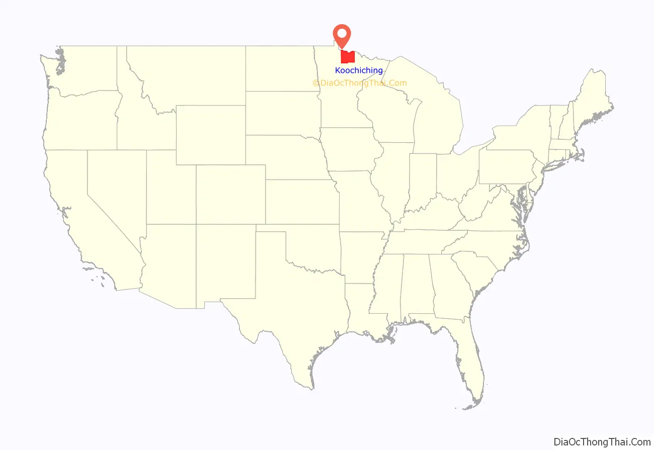
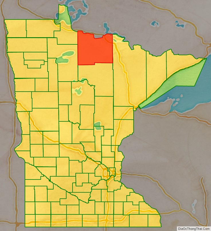
Koochiching County location map. Where is Koochiching County?
History
About 10,000 years ago almost 90% of Koochiching County was covered by Lake Agassiz. When it receded it left low areas of decayed vegetation (muskeg); as a result, three-quarters of northern Koochiching are underlain with 2 to 50 feet of peat.
The name “Koochiching” comes from either the Ojibwe word Gojijiing or Cree Kocicīhk (recorded in some documents as “Ouchichiq”), both meaning “at the place of inlets,” referring to the neighboring Rainy Lake and River. Reverend J.A. Gilfillan recorded their meaning, “according to some, Neighbor lake, according to others a lake somewhere,” possibly referring to the neighbouring Rainy Lake and to Lake Couchiching located in southern Ontario. Early European (French) inhabitants gave the names Lac à la Pluie (Rainy Lake) and Rivière à la Pluie (Rainy River) to the nearby bodies of water because of the mist-like rain present at the falls of Rainy River and then to the settlement that became known as International Falls.
European settlers in Koochiching County were of many occupations. They were explorers, traders, homesteaders, and lumberjacks. They also were teachers, preachers, merchants, engineers, and builders of industry. Settlers came at the beginning of the 1900s and suffered through isolation, illness, harsh weather, and poverty. They built schools, churches, and good roads.
Koochiching County is the second largest county in area next to Saint Louis County. It is also one of the youngest counties in the state having been created in 1906 after it was separated from Itasca County.
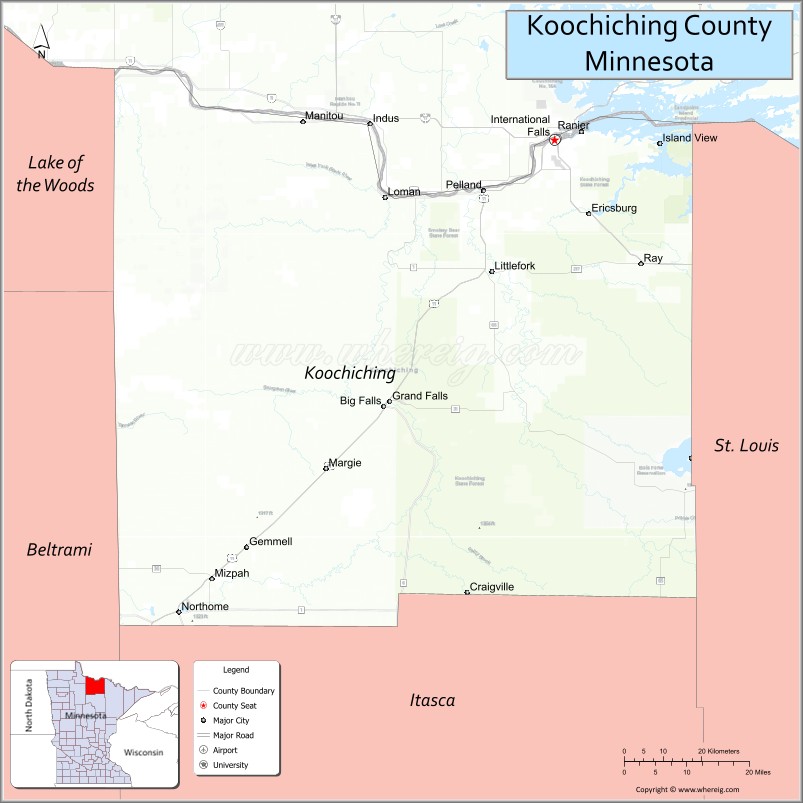
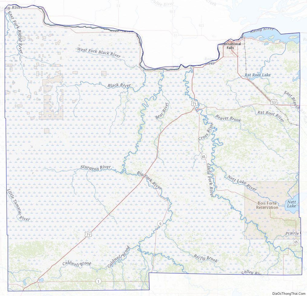
Koochiching County Road Map
Geography
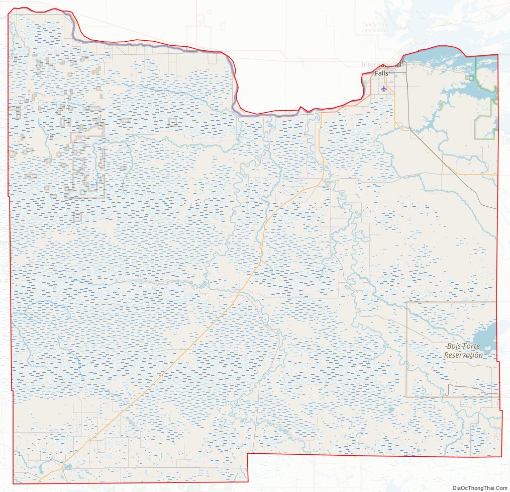
Koochiching County lies on the northern edge of Minnesota. Its northern border abuts the south border of Canada (across the Rainy River). The Rainy River flows west-northwestward along its north border, being fed by several rivers which drain from the county into the Rainy: Rat Root River drains the east central part of the county; Little Fork River flows northward through the eastern part of the county; Big Fork River flows northward through the east-central part of the county; Black River flows northward through the central part of the county; Rapid River and East Fork Rapid River flow north-northwestward through the western part of the county, joining in the northwestern part of the county shortly before exiting the county’s west line to discharge into the Rainy, just west of the county’s northwestern corner.
The county terrain consists of low rolling hills, with swampy areas where Lake Agassiz basin was deepest. There are also deposits of peat from 1½ to 50 feet in the low areas. The fairly level soil is broken by ledges of precambrian rock. Bedrock in the area includes Ely greenstone and greenstone schists that are said to be among the oldest on the planet. The terrain slopes to the north, with its highest point on the western part of its southern border at 1,515′ (462m) ASL. The county has a total area of 3,154 square miles (8,170 km), of which 3,104 square miles (8,040 km) is land and 50 square miles (130 km) (1.6%) is water. It is the second-largest county in Minnesota by land area and third-largest by total area.
Major highways
- U.S. Highway 53
- U.S. Highway 71
- Minnesota State Highway 1
- Minnesota State Highway 6
- Minnesota State Highway 11
- Minnesota State Highway 46
- Minnesota State Highway 65
- Minnesota State Highway 217
Adjacent counties
- Rainy River District, Ontario – north
- Saint Louis County – east
- Itasca County – south
- Beltrami County – southwest
- Lake of the Woods County – northwest
Protected areas
- East Rat Root River Scientific and Natural Area
- Lost River Peatland Scientific and Natural Area
- Myrtle Lake Peatland Scientific and Natural Area
- Pine Island State Forest
- Smoky Bear State Forest
- South Black River Peatland Scientific and Natural Area
- Superior National Forest (part)
- Voyageurs National Park (part)
Lakes
- Bartlett Lake
- Battle Lake
- Cameron Lake
- Clear Lake
- Dark Lake
- Franklin Lake
- Larson Lake
- Little Constance Lake
- Little Lake
- Lost Lake
- Moose Lake
- Myrtle Lake
- Nett Lake (part)
- Pine Lake
- Pocquette Lake
- Rainy Lake (part)
- Rat Root Lake
- Seretha Lake
- Silversack Lake
- Teufer Lake
Koochiching County Topographic Map
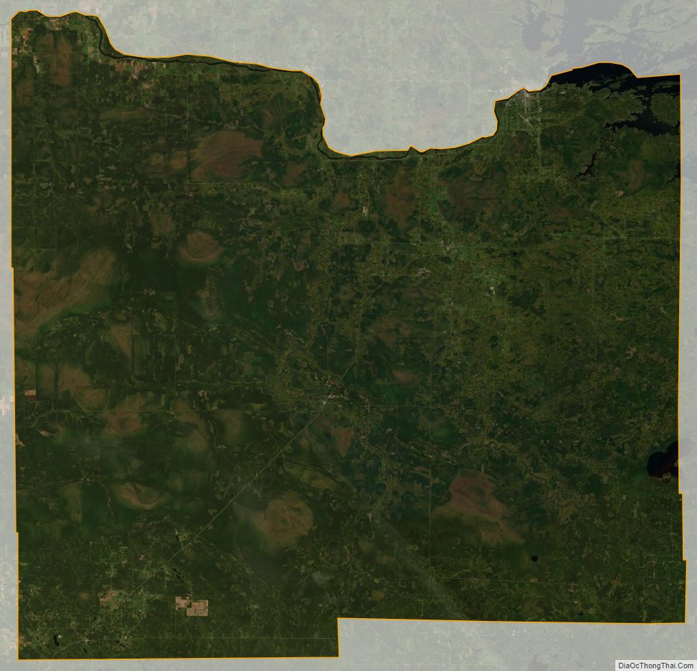
Koochiching County Satellite Map
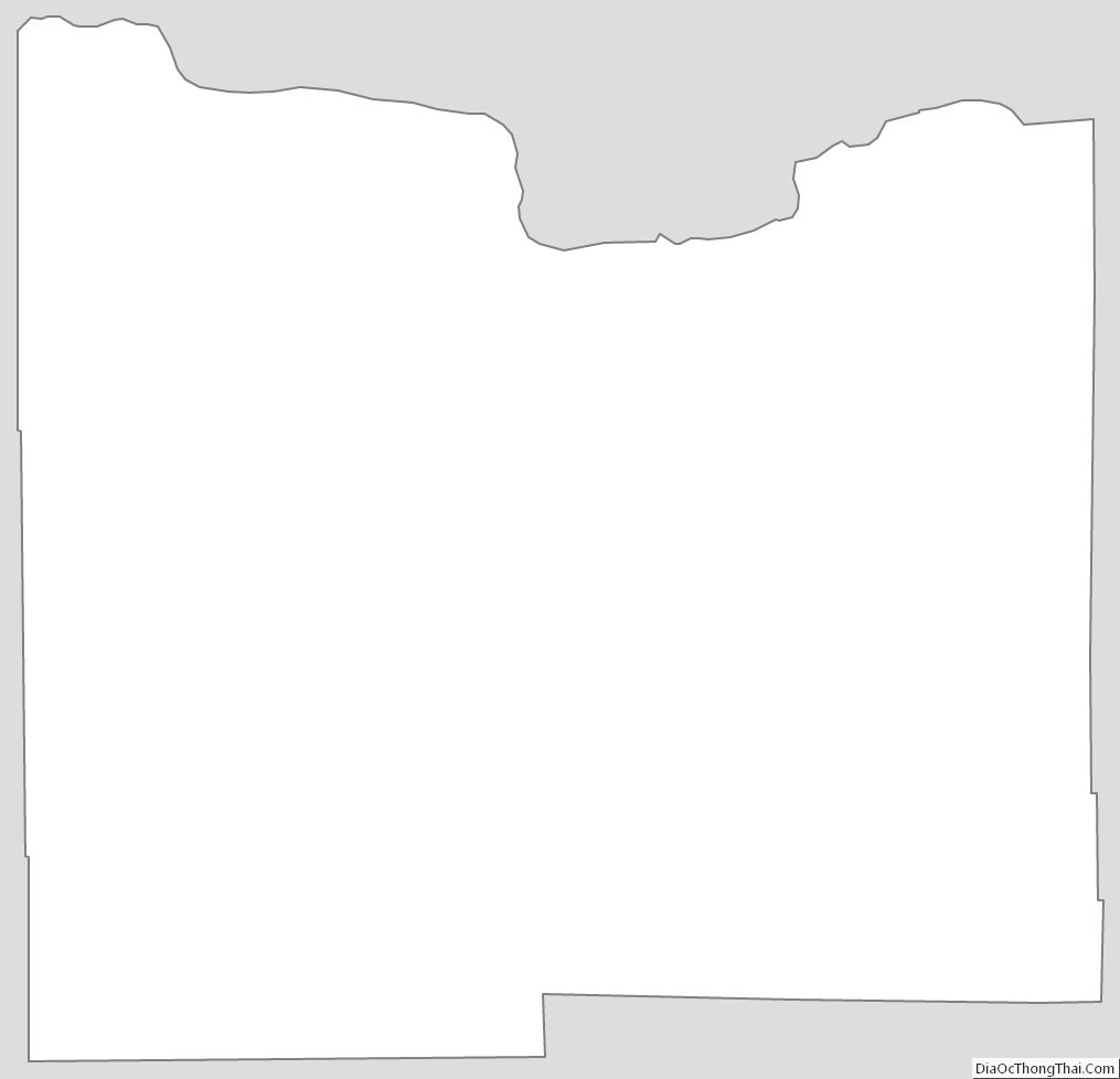
Koochiching County Outline Map
See also
Map of Minnesota State and its subdivision:- Aitkin
- Anoka
- Becker
- Beltrami
- Benton
- Big Stone
- Blue Earth
- Brown
- Carlton
- Carver
- Cass
- Chippewa
- Chisago
- Clay
- Clearwater
- Cook
- Cottonwood
- Crow Wing
- Dakota
- Dodge
- Douglas
- Faribault
- Fillmore
- Freeborn
- Goodhue
- Grant
- Hennepin
- Houston
- Hubbard
- Isanti
- Itasca
- Jackson
- Kanabec
- Kandiyohi
- Kittson
- Koochiching
- Lac qui Parle
- Lake
- Lake of the Woods
- Lake Superior
- Le Sueur
- Lincoln
- Lyon
- Mahnomen
- Marshall
- Martin
- McLeod
- Meeker
- Mille Lacs
- Morrison
- Mower
- Murray
- Nicollet
- Nobles
- Norman
- Olmsted
- Otter Tail
- Pennington
- Pine
- Pipestone
- Polk
- Pope
- Ramsey
- Red Lake
- Redwood
- Renville
- Rice
- Rock
- Roseau
- Saint Louis
- Scott
- Sherburne
- Sibley
- Stearns
- Steele
- Stevens
- Swift
- Todd
- Traverse
- Wabasha
- Wadena
- Waseca
- Washington
- Watonwan
- Wilkin
- Winona
- Wright
- Yellow Medicine
- Alabama
- Alaska
- Arizona
- Arkansas
- California
- Colorado
- Connecticut
- Delaware
- District of Columbia
- Florida
- Georgia
- Hawaii
- Idaho
- Illinois
- Indiana
- Iowa
- Kansas
- Kentucky
- Louisiana
- Maine
- Maryland
- Massachusetts
- Michigan
- Minnesota
- Mississippi
- Missouri
- Montana
- Nebraska
- Nevada
- New Hampshire
- New Jersey
- New Mexico
- New York
- North Carolina
- North Dakota
- Ohio
- Oklahoma
- Oregon
- Pennsylvania
- Rhode Island
- South Carolina
- South Dakota
- Tennessee
- Texas
- Utah
- Vermont
- Virginia
- Washington
- West Virginia
- Wisconsin
- Wyoming