Kossuth County (/kəˈsuːθ/) is a county in the U.S. state of Iowa. As of the 2020 census, the population was 14,828. The county seat is Algona.
| Name: | Kossuth County |
|---|---|
| FIPS code: | 19-109 |
| State: | Iowa |
| Founded: | January 15, 1851 |
| Named for: | Lajos Kossuth |
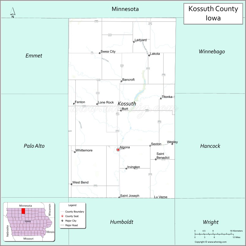
| Seat: | Algona |
| Largest city: | Algona |
| Total Area: | 974 sq mi (2,520 km²) |
| Land Area: | 973 sq mi (2,520 km²) |
| Total Population: | 14,828 |
| Population Density: | 15/sq mi (5.9/km²) |
| Time zone: | UTC−6 (Central) |
| Summer Time Zone (DST): | UTC−5 (CDT) |
| Website: | kossuthcounty.iowa.gov |
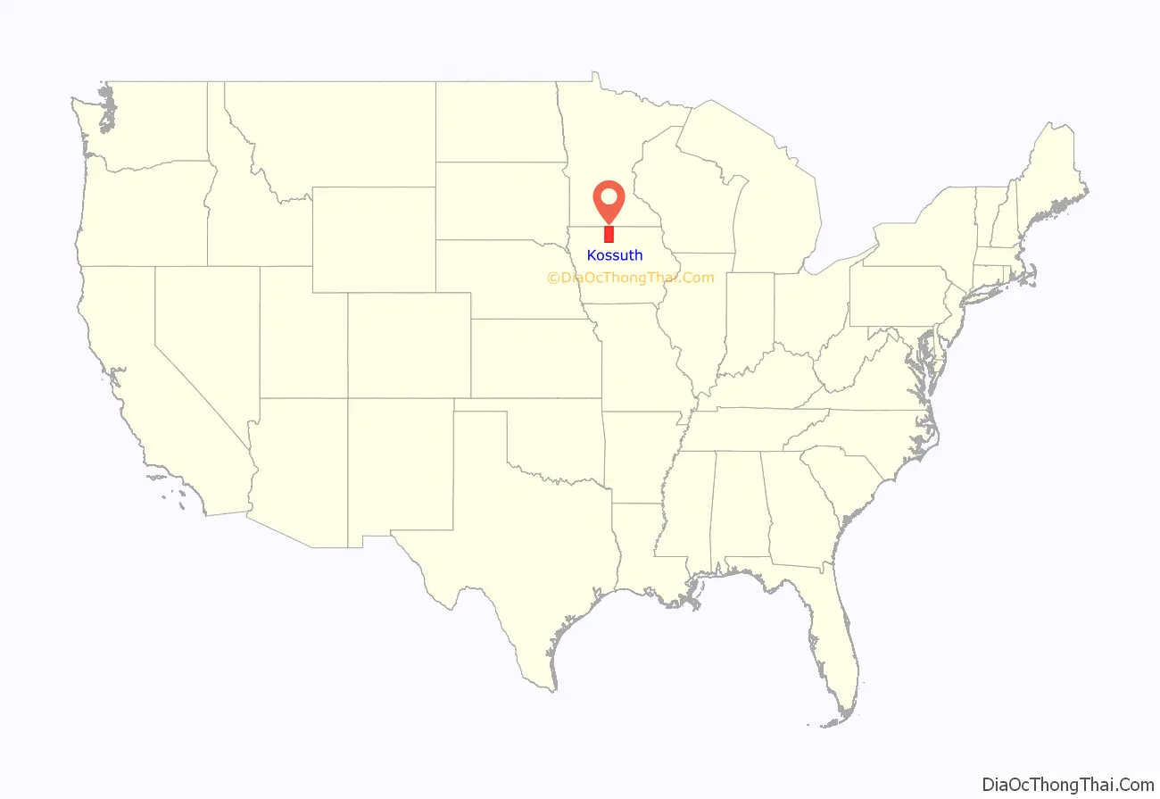
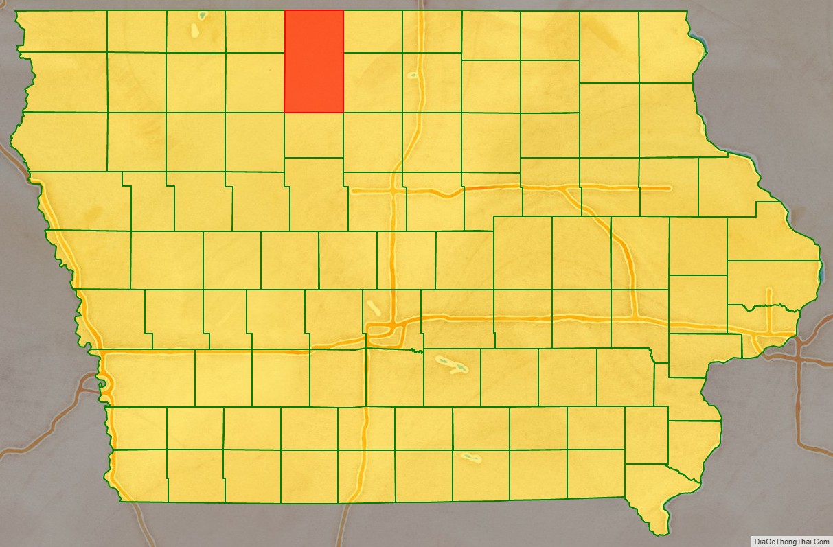
Kossuth County location map. Where is Kossuth County?
History
Kossuth County was founded on January 15, 1851. It was named after Lajos Kossuth, Regent-President of Hungary who went into exile to America following the war of independence of Hungary from the Habsburg Dynasty. The county was enlarged northward in 1857 by the inclusion of the former Bancroft County. Crocker County was another county created out of the same area of Kossuth County as Bancroft County but was reverted due to not being larger than 432 square miles.
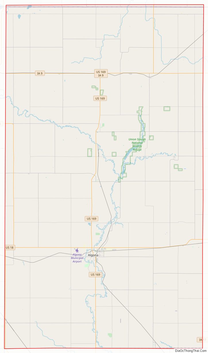
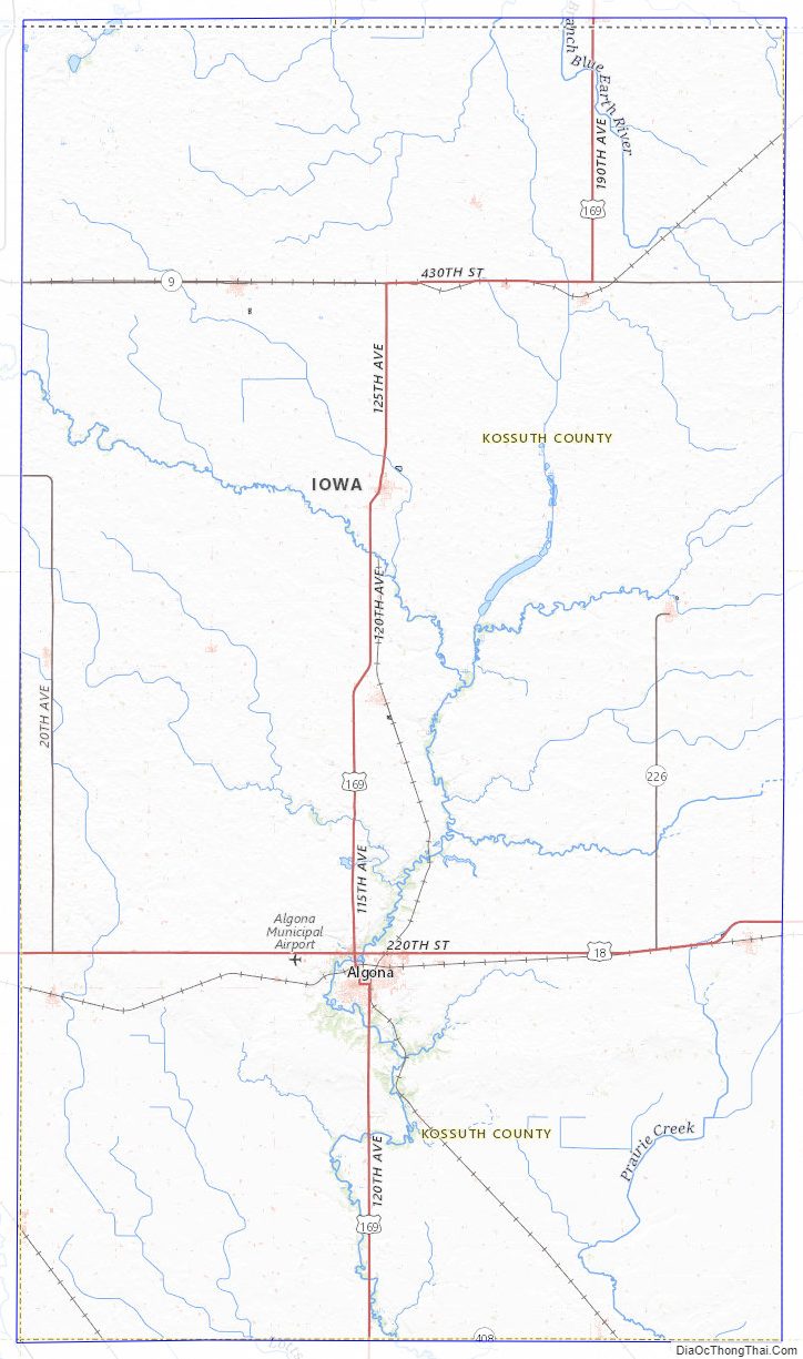
Kossuth County Road Map
Geography
According to the U.S. Census Bureau, the county has an area of 974 square miles (2,520 km), of which 973 square miles (2,520 km) is land and 1.6 square miles (4.1 km) (0.2%) is water. It is Iowa’s largest county by area.
Major highways
- U.S. Highway 18
- U.S. Highway 169
- Iowa Highway 9
- Iowa Highway 15
- Iowa Highway 17
Adjacent counties
- Martin County, Minnesota (north)
- Faribault County, Minnesota (north)
- Winnebago County (northeast)
- Hancock County (southeast)
- Humboldt County (south)
- Palo Alto County (southwest)
- Emmet County (northwest)
National protected area
- Union Slough National Wildlife Refuge
Kossuth County Topographic Map
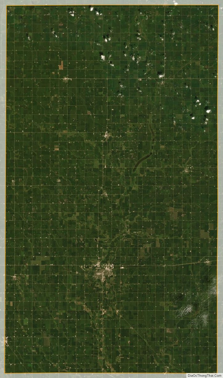
Kossuth County Satellite Map
Kossuth County Outline Map

See also
Map of Iowa State and its subdivision:- Adair
- Adams
- Allamakee
- Appanoose
- Audubon
- Benton
- Black Hawk
- Boone
- Bremer
- Buchanan
- Buena Vista
- Butler
- Calhoun
- Carroll
- Cass
- Cedar
- Cerro Gordo
- Cherokee
- Chickasaw
- Clarke
- Clay
- Clayton
- Clinton
- Crawford
- Dallas
- Davis
- Decatur
- Delaware
- Des Moines
- Dickinson
- Dubuque
- Emmet
- Fayette
- Floyd
- Franklin
- Fremont
- Greene
- Grundy
- Guthrie
- Hamilton
- Hancock
- Hardin
- Harrison
- Henry
- Howard
- Humboldt
- Ida
- Iowa
- Jackson
- Jasper
- Jefferson
- Johnson
- Jones
- Keokuk
- Kossuth
- Lee
- Linn
- Louisa
- Lucas
- Lyon
- Madison
- Mahaska
- Marion
- Marshall
- Mills
- Mitchell
- Monona
- Monroe
- Montgomery
- Muscatine
- O'Brien
- Osceola
- Page
- Palo Alto
- Plymouth
- Pocahontas
- Polk
- Pottawattamie
- Poweshiek
- Ringgold
- Sac
- Scott
- Shelby
- Sioux
- Story
- Tama
- Taylor
- Union
- Van Buren
- Wapello
- Warren
- Washington
- Wayne
- Webster
- Winnebago
- Winneshiek
- Woodbury
- Worth
- Wright
- Alabama
- Alaska
- Arizona
- Arkansas
- California
- Colorado
- Connecticut
- Delaware
- District of Columbia
- Florida
- Georgia
- Hawaii
- Idaho
- Illinois
- Indiana
- Iowa
- Kansas
- Kentucky
- Louisiana
- Maine
- Maryland
- Massachusetts
- Michigan
- Minnesota
- Mississippi
- Missouri
- Montana
- Nebraska
- Nevada
- New Hampshire
- New Jersey
- New Mexico
- New York
- North Carolina
- North Dakota
- Ohio
- Oklahoma
- Oregon
- Pennsylvania
- Rhode Island
- South Carolina
- South Dakota
- Tennessee
- Texas
- Utah
- Vermont
- Virginia
- Washington
- West Virginia
- Wisconsin
- Wyoming