| Name: | La Paz County |
|---|---|
| FIPS code: | 04-012 |
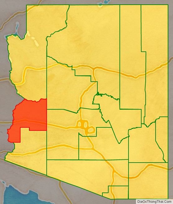
| State: | Arizona |
| Founded: | January 1, 1983 |
| Named for: | La Paz, Arizona |
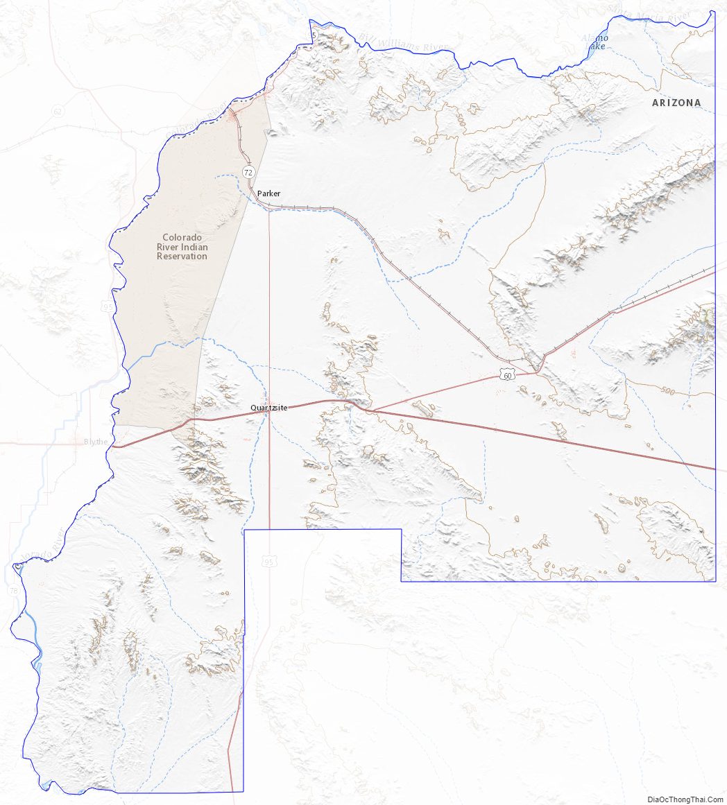
| Seat: | Parker |
| Largest town: | Parker |
| Total Area: | 4,514 sq mi (11,690 km²) |
| Land Area: | 4,500 sq mi (12,000 km²) |
| Total Population: | 16,557 |
| Population Density: | 3.7/sq mi (1.4/km²) |
| Time zone: | UTC−7 (Mountain) |
| Website: | www.co.la-paz.az.us |
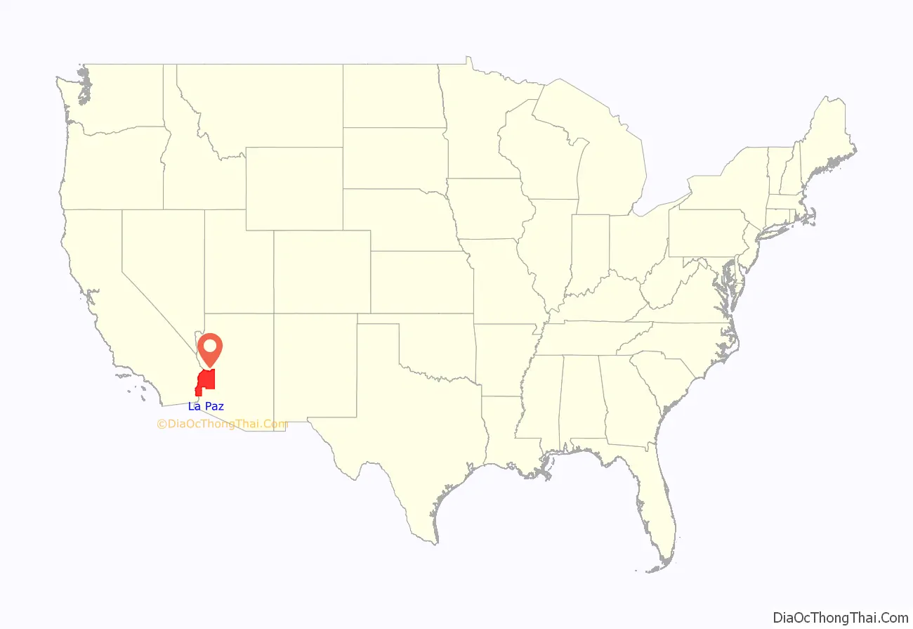
La Paz County location map. Where is La Paz County?
History
La Paz County was established in 1983 after voters approved separating the northern portion of Yuma County, making it the only county to be established after Arizona became a state in 1912, and currently the second youngest county in the United States (behind the consolidated city-county of Broomfield, Colorado, which was established in 2001). The county did not have a large enough tax base to begin supporting a separate county government immediately and had to rely on state money at first. As a result, Arizona laws were changed to make splitting other existing counties much more difficult.
Under the revised Arizona laws, a county shall not be formed or divided by county initiative unless each proposed county would have all of the following characteristics: (1) at least three-fourths of one percent of the total state assessed valuation and at least the statewide per capita assessed valuation; (2) a population of at least three-fourths of one percent of the total state population according to the most recent United States decennial census; (3) at least one hundred square miles of privately owned land; (4) common boundaries with either (a) at least three other existing or proposed counties; or (b) at least two other existing or proposed counties and the state boundary. A county formation commission is required to be formed to evaluate the feasibility of the proposed county. A proposal to divide a county must be approved by a majority of the votes cast in each proposed new county.
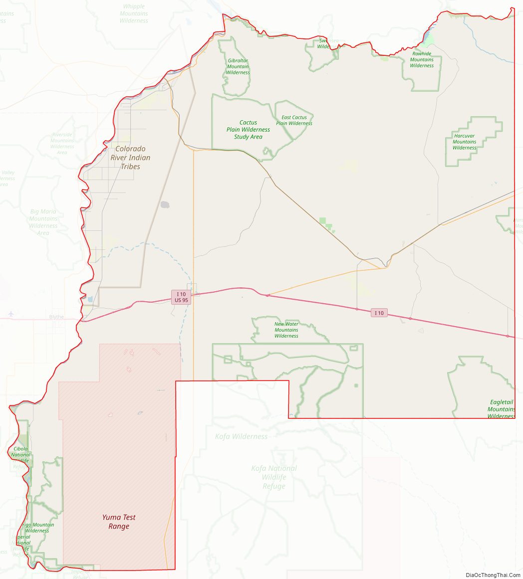
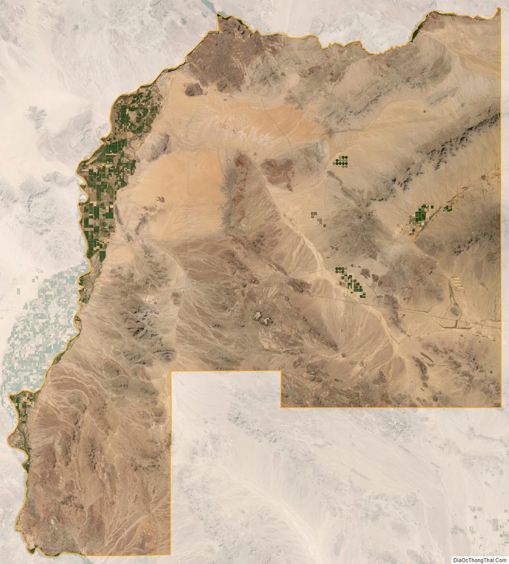
The Colorado River Indian Reservation is located in the western portion of the county. Part of the reservation extends westward into San Bernardino and Riverside counties in California.
La Paz County Road Map
Geography
According to the United States Census Bureau, the county has a total area of 4,514 sq mi (11691 km), of which 4500 sq mi (11655 km) is land and 14 sq mi (36 km) (0.3%) is water.
The area that now makes up La Paz County was formerly part of Yuma County.
Flora and fauna
La Paz County hosts a variety of flora and fauna. The endangered California Fan Palm, Washingtonia filifera grows in a few spots in the county.
Adjacent counties
- Mohave County – north
- Yavapai County – northeast
- Maricopa County – east
- Yuma County – south
- Imperial County, California – southwest
- Riverside County, California – west
- San Bernardino County, California – northwest
National protected areas
- Bill Williams River National Wildlife Refuge (part)
- Cibola National Wildlife Refuge (part)
- Imperial National Wildlife Refuge (part)
- Kofa National Wildlife Refuge (part)
La Paz County Topographic Map
La Paz County Satellite Map
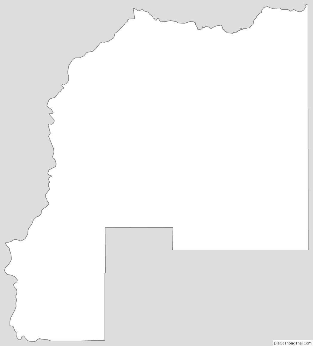
La Paz County Outline Map
See also
Map of Arizona State and its subdivision: Map of other states:- Alabama
- Alaska
- Arizona
- Arkansas
- California
- Colorado
- Connecticut
- Delaware
- District of Columbia
- Florida
- Georgia
- Hawaii
- Idaho
- Illinois
- Indiana
- Iowa
- Kansas
- Kentucky
- Louisiana
- Maine
- Maryland
- Massachusetts
- Michigan
- Minnesota
- Mississippi
- Missouri
- Montana
- Nebraska
- Nevada
- New Hampshire
- New Jersey
- New Mexico
- New York
- North Carolina
- North Dakota
- Ohio
- Oklahoma
- Oregon
- Pennsylvania
- Rhode Island
- South Carolina
- South Dakota
- Tennessee
- Texas
- Utah
- Vermont
- Virginia
- Washington
- West Virginia
- Wisconsin
- Wyoming