Lake and Peninsula Borough (Russian: Лейк-энд-Пенинсула, Leyk-end-Peninsula) is a borough in the state of Alaska. As of the 2020 census, the population was 1,476, down from 1,631 in 2010. The borough seat of King Salmon is located in neighboring Bristol Bay Borough, although is not the seat of that borough. The most populous community in the borough is the census-designated place of Port Alsworth. With an average of 0.017 inhabitants/km (0.045/sq mi), the Lake and Peninsula Borough is the second least densely populated organized county-equivalent in the United States; only the unorganized Yukon-Koyukuk Census Area has a lower density.
| Name: | Lake and Peninsula Borough |
|---|---|
| FIPS code: | 02-164 |
| State: | Alaska |
| Named for: | Iliamna Lake, Becharof Lake and Alaska Peninsula |
| Seat: | King Salmon |
| Total Area: | 32,922 sq mi (85,270 km²) |
| Land Area: | 23,652 sq mi (61,260 km²) |
| Total Population: | 1,476 |
| Population Density: | 0.045/sq mi (0.017/km²) |
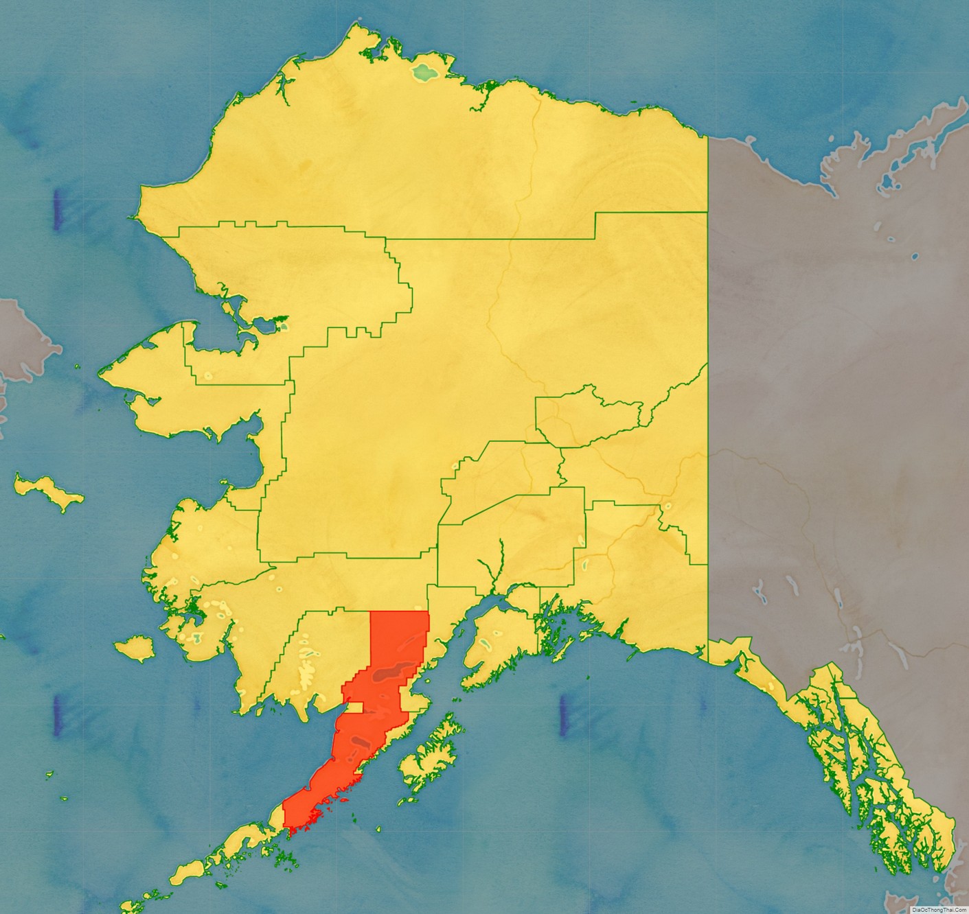
Lake and Peninsula Borough location map. Where is Lake and Peninsula Borough?
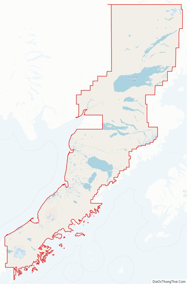
Lake and Peninsula Borough Road Map
Geography
The borough has an area of 32,922 square miles (85,270 km), of which 23,652 square miles (61,260 km) is land and 9,270 square miles (24,000 km) (28.2%) is water. The borough contains Iliamna Lake, the largest lake in Alaska and third largest within United States borders, and occupies most of the Alaska Peninsula. Its land area is larger than that of San Bernardino County, California, the largest county in the contiguous Lower 48 states, and slightly larger than the state of South Carolina.
Adjacent boroughs and census areas
- Bethel Census Area, Alaska – north
- Kenai Peninsula Borough, Alaska – east
- Kodiak Island Borough, Alaska – southeast
- Aleutians East Borough, Alaska – west
- Bristol Bay Borough, Alaska – west
- Dillingham Census Area, Alaska – west
National protected areas
- Alagnak Wild River
- Alaska Maritime National Wildlife Refuge (part of the Alaska Peninsula unit)
- Sutwik Island
- Alaska Peninsula National Wildlife Refuge (part)
- Aniakchak National Monument and Preserve
- Becharof National Wildlife Refuge (part)
- Becharof Wilderness (part)
- Katmai National Park and Preserve (part)
- Katmai Wilderness (part)
- Lake Clark National Park and Preserve (part)
- Lake Clark Wilderness (part)
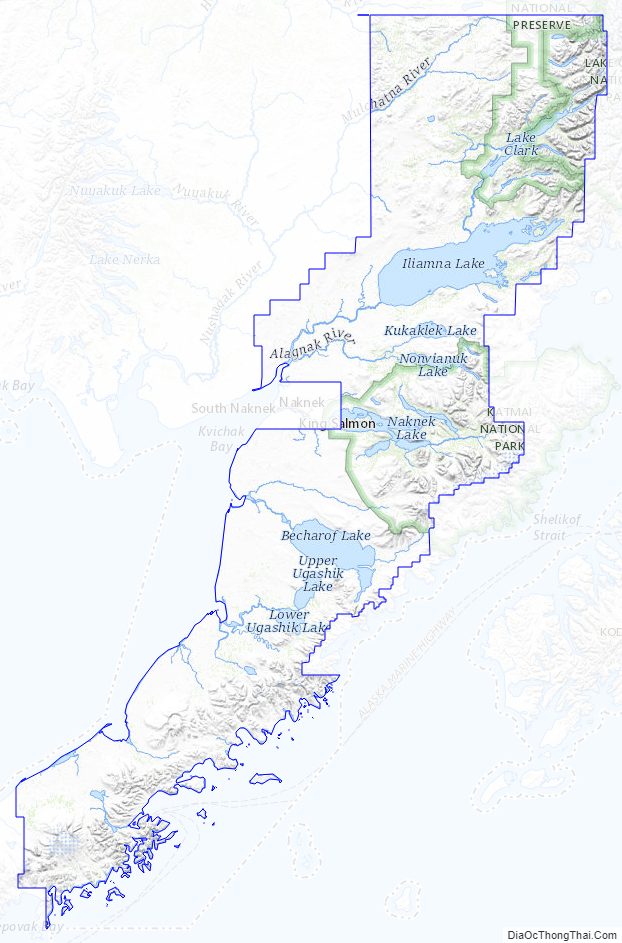
Lake and Peninsula Borough Topographic Map
Lake and Peninsula Borough Satellite Map
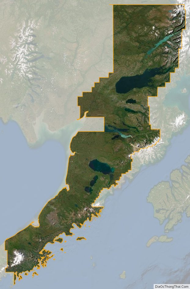
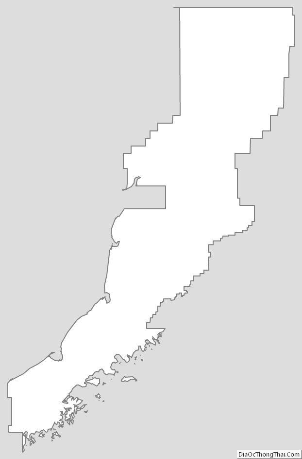
Lake and Peninsula Borough Outline Map
See also
Map of Alaska State and its subdivision:- Aleutians East
- Aleutians West
- Anchorage
- Bethel
- Bristol Bay
- Denali
- Dillingham
- Fairbanks North Star
- Haines
- Juneau
- Kenai Peninsula
- Ketchikan Gateway
- Kodiak Island
- Lake and Peninsula
- Matanuska-Susitna
- Nome
- North Slope
- Northwest Arctic
- Prince of Wales-Outer Ketchi
- Sitka
- Skagway-Yakutat-Angoon
- Southeast Fairbanks
- Valdez-Cordova
- Wade Hampton
- Wrangell-Petersburg
- Yukon-Koyukuk
- Alabama
- Alaska
- Arizona
- Arkansas
- California
- Colorado
- Connecticut
- Delaware
- District of Columbia
- Florida
- Georgia
- Hawaii
- Idaho
- Illinois
- Indiana
- Iowa
- Kansas
- Kentucky
- Louisiana
- Maine
- Maryland
- Massachusetts
- Michigan
- Minnesota
- Mississippi
- Missouri
- Montana
- Nebraska
- Nevada
- New Hampshire
- New Jersey
- New Mexico
- New York
- North Carolina
- North Dakota
- Ohio
- Oklahoma
- Oregon
- Pennsylvania
- Rhode Island
- South Carolina
- South Dakota
- Tennessee
- Texas
- Utah
- Vermont
- Virginia
- Washington
- West Virginia
- Wisconsin
- Wyoming