Lake of the Woods County is a county in the northwestern part of the U.S. state of Minnesota. As of the 2020 census, the population was 3,763, making it the second-least populous county in Minnesota. Its county seat is Baudette.
The county contains the Northwest Angle, the northernmost point of the Lower 48 States, and the U.S. portion of Lake of the Woods, shared with Canada. The county also includes the exclave of Elm Point. Since Alaska has no counties, Lake of the Woods is the northernmost county in the United States. It is also the only county in the United States with four words in its name, although there is a parish in Louisiana called St. John the Baptist Parish, and the United States Census Bureau treats parishes as county equivalents for census purposes.
| Name: | Lake of the Woods County |
|---|---|
| FIPS code: | 27-077 |
| State: | Minnesota |
| Founded: | 1923 |
| Named for: | Lake of the Woods (lake) |
| Seat: | Baudette |
| Largest city: | Baudette |
| Total Area: | 1,775 sq mi (4,600 km²) |
| Land Area: | 1,298 sq mi (3,360 km²) |
| Total Population: | 3,763 |
| Population Density: | 2.9/sq mi (1.1/km²) |
| Time zone: | UTC−6 (Central) |
| Summer Time Zone (DST): | UTC−5 (CDT) |
| Website: | Lake of the Woods County, Minnesota |
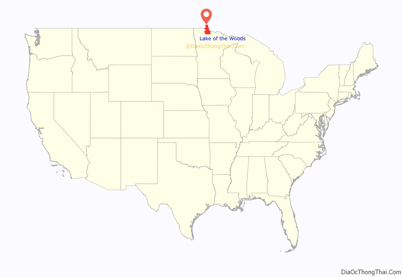
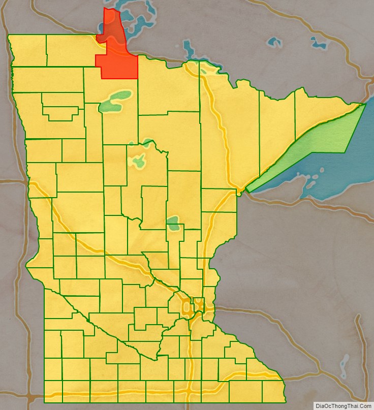
Lake of the Woods County location map. Where is Lake of the Woods County?
History
Lake of the Woods County was named for the lake that covers a large portion of it. Jacques de Noyon, a Frenchman who came from Trois Rivières, Quebec, explored the area in 1688 and was the first European to see the lake. He named it Lac aux Îles, “Lake of the Islands”.
In 1885 the region got its first settler, Wilhelm Zippel, a German immigrant and fisherman. He settled on the lake’s south shore in a place now called Zippel Bay. Shortly after, Alonzo Wheeler settled on the lake’s southwest side at a place now called Wheeler’s Point.
A wildfire, known as the Baudette fire of 1910, broke out in October of that year, burning 300,000 acres (1,200 km) and destroying the towns of Spooner, Baudette, Graceton, Pitt, Williams, and Cedar Spur.
Lake of the Woods County’s government was organized on January 1, 1923, with Baudette as the county seat. It is Minnesota’s newest county; county voters approved separating the northern townships of Beltrami County into a separate unit on November 28, 1922.
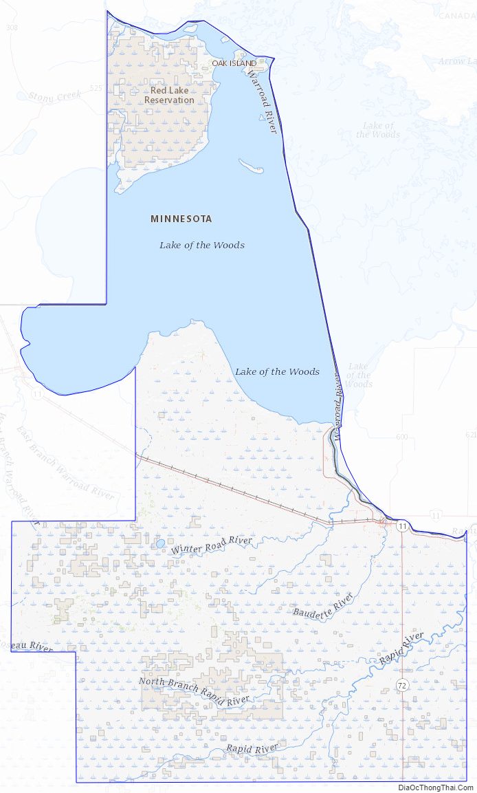
Lake of the Woods County Road Map
Geography
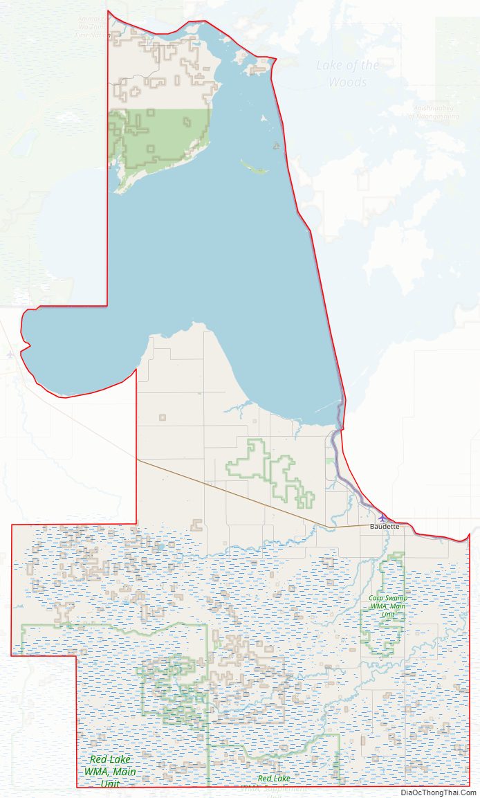
Lake of the Woods County lies on Minnesota’s border with Canada across the Rainy River, which flows northwest along the border to discharge into Lake of the Woods; its northwest border abuts Manitoba. The northern part of the county (the Northwest Angle) is separated from the rest of the county by the lake and thus has no land contact with the rest of the United States, making the Northwest Angle an exclave. Land access to that part of the county is through Manitoba. Access by water or ice routes is possible. The Rapid River flows northeast through the southeastern part of the county to its discharge point into the Rainy River, near the county’s northeast corner.
Lake of the Woods County’s terrain consists of low rolling hills, partly wooded, devoted to agriculture. The terrain slopes to the east and north. Its highest point is a small protuberance one mile (1.6 km) west of Norris Camp, at 1,316′ (401m) ASL. The county has an area of 1,775 square miles (4,600 km), of which 1,298 square miles (3,360 km) is land and 477 square miles (1,240 km) (27%) is water.
Major highways
- Minnesota State Highway 11
- Minnesota State Highway 72
- Minnesota State Highway 172
Adjacent counties and districts
- Kenora District, Ontario – northeast
- Rainy River District, Ontario – northeast
- Koochiching County – southeast
- Beltrami County – south
- Roseau County – west
- Rural Municipality of Piney, Manitoba – west
- Buffalo Point, Manitoba – west
Protected areas
- Beltrami Island State Forest (part)
- Garden Island State Recreation Area
- Mulligan Lake Peatland Scientific and Natural Area
- Norris Camp Peatland Scientific and Natural Area
- Pine Island State Forest (part)
- Red Lake Peatland Scientific and Natural Area (part)
- Winter Road Lakes Peatland Scientific and Natural Area
- Zippel Bay State Park
Lakes
- Browns Lake
- Lake of the Woods
- Lost Lake
- Winter Road Lake
Lake of the Woods County Topographic Map
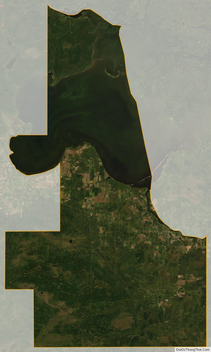
Lake of the Woods County Satellite Map
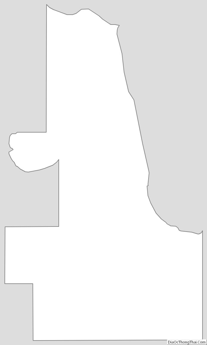
Lake of the Woods County Outline Map
See also
Map of Minnesota State and its subdivision:- Aitkin
- Anoka
- Becker
- Beltrami
- Benton
- Big Stone
- Blue Earth
- Brown
- Carlton
- Carver
- Cass
- Chippewa
- Chisago
- Clay
- Clearwater
- Cook
- Cottonwood
- Crow Wing
- Dakota
- Dodge
- Douglas
- Faribault
- Fillmore
- Freeborn
- Goodhue
- Grant
- Hennepin
- Houston
- Hubbard
- Isanti
- Itasca
- Jackson
- Kanabec
- Kandiyohi
- Kittson
- Koochiching
- Lac qui Parle
- Lake
- Lake of the Woods
- Lake Superior
- Le Sueur
- Lincoln
- Lyon
- Mahnomen
- Marshall
- Martin
- McLeod
- Meeker
- Mille Lacs
- Morrison
- Mower
- Murray
- Nicollet
- Nobles
- Norman
- Olmsted
- Otter Tail
- Pennington
- Pine
- Pipestone
- Polk
- Pope
- Ramsey
- Red Lake
- Redwood
- Renville
- Rice
- Rock
- Roseau
- Saint Louis
- Scott
- Sherburne
- Sibley
- Stearns
- Steele
- Stevens
- Swift
- Todd
- Traverse
- Wabasha
- Wadena
- Waseca
- Washington
- Watonwan
- Wilkin
- Winona
- Wright
- Yellow Medicine
- Alabama
- Alaska
- Arizona
- Arkansas
- California
- Colorado
- Connecticut
- Delaware
- District of Columbia
- Florida
- Georgia
- Hawaii
- Idaho
- Illinois
- Indiana
- Iowa
- Kansas
- Kentucky
- Louisiana
- Maine
- Maryland
- Massachusetts
- Michigan
- Minnesota
- Mississippi
- Missouri
- Montana
- Nebraska
- Nevada
- New Hampshire
- New Jersey
- New Mexico
- New York
- North Carolina
- North Dakota
- Ohio
- Oklahoma
- Oregon
- Pennsylvania
- Rhode Island
- South Carolina
- South Dakota
- Tennessee
- Texas
- Utah
- Vermont
- Virginia
- Washington
- West Virginia
- Wisconsin
- Wyoming