Langlade County is a county located in the U.S. state of Wisconsin. As of the 2020 census, the population was 19,491. Its county seat is Antigo.
| Name: | Langlade County |
|---|---|
| FIPS code: | 55-067 |
| State: | Wisconsin |
| Named for: | Charles Michel de Langlade |
| Seat: | Antigo |
| Largest city: | Antigo |
| Total Area: | 888 sq mi (2,300 km²) |
| Land Area: | 871 sq mi (2,260 km²) |
| Total Population: | 19,491 |
| Population Density: | 22.4/sq mi (8.6/km²) |
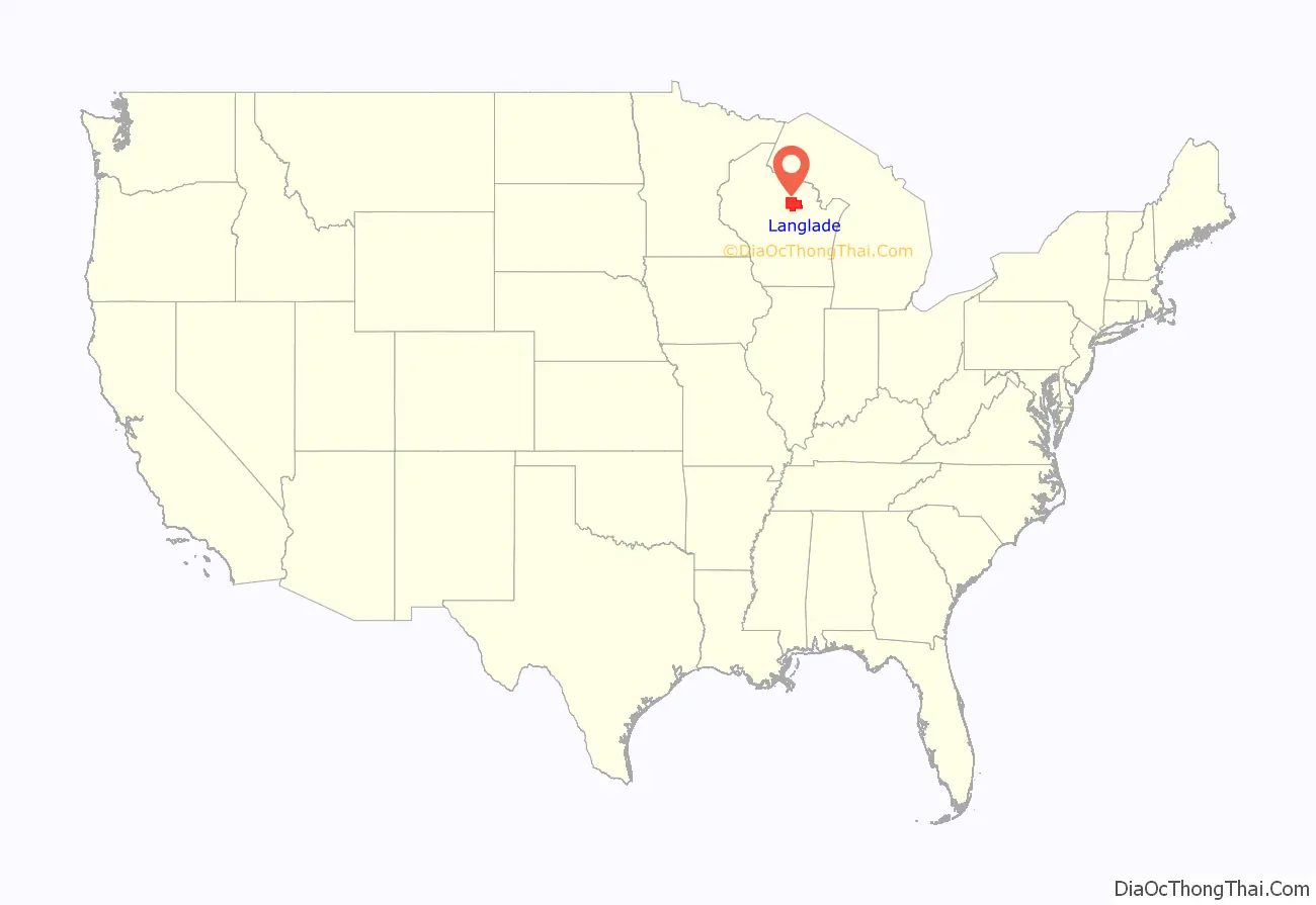
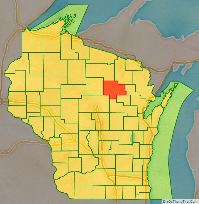
Langlade County location map. Where is Langlade County?
History
Langlade County was created on March 3, 1879, as New County. It was renamed Langlade County, in honor of Charles de Langlade, on February 20, 1880, and fully organized on February 19, 1881. The county’s original borders extended northward from the top of Shawano County up to the Michigan state line. Between 1881 and 1885, the borders of Langlade County changed as nearby Lincoln and Shawano counties added or gave up area. Langlade lost its northernmost area along the Michigan border to Forest County when it was created in 1885.
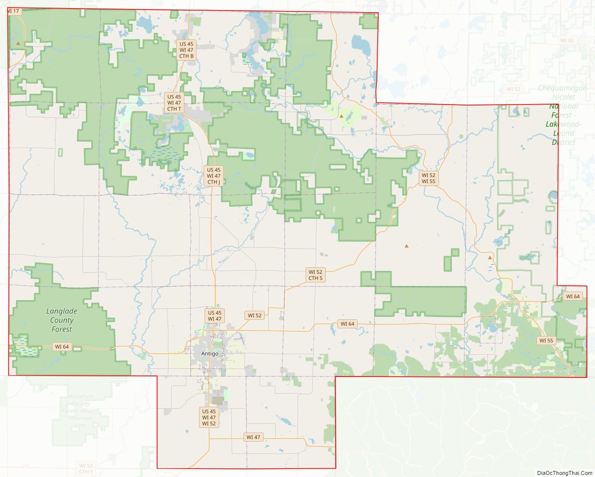
Langlade County Road Map
Geography
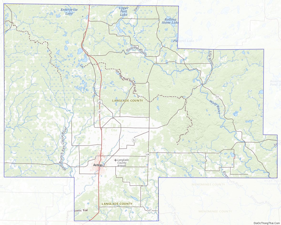
According to the U.S. Census Bureau, the county has a total area of 888 square miles (2,300 km), of which 871 square miles (2,260 km) is land and 17 square miles (44 km) (1.9%) is water. The highest point in the county is at the foot of the Basswood Lookout Tower west of Summit Lake (elev:1857′)
Adjacent counties
- Oneida County – northwest
- Forest County – northeast
- Oconto County – east
- Menominee County – southeast
- Shawano County – south
- Marathon County – southwest
- Lincoln County – west
National protected area
- Nicolet National Forest (part)
Langlade County Topographic Map
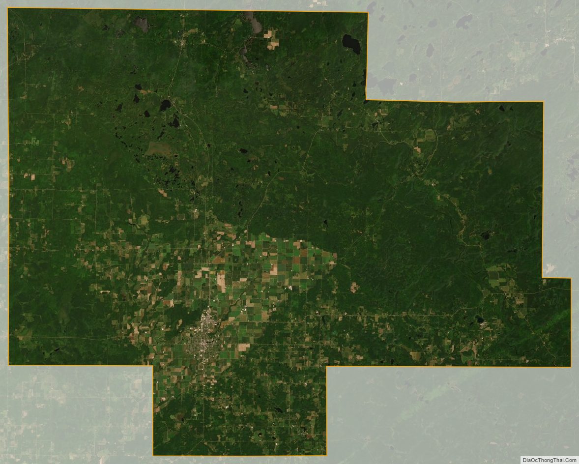
Langlade County Satellite Map
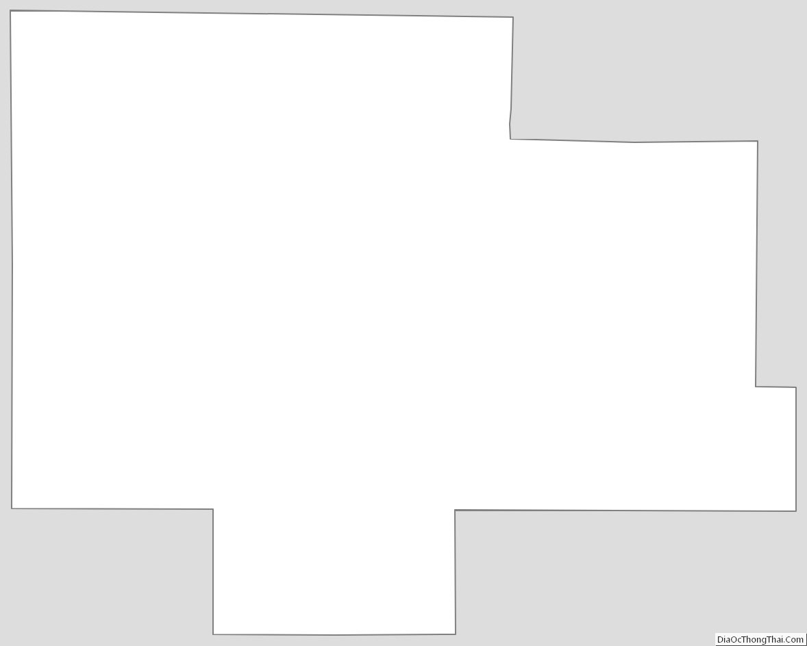
Langlade County Outline Map
See also
Map of Wisconsin State and its subdivision:- Adams
- Ashland
- Barron
- Bayfield
- Brown
- Buffalo
- Burnett
- Calumet
- Chippewa
- Clark
- Columbia
- Crawford
- Dane
- Dodge
- Door
- Douglas
- Dunn
- Eau Claire
- Florence
- Fond du Lac
- Forest
- Grant
- Green
- Green Lake
- Iowa
- Iron
- Jackson
- Jefferson
- Juneau
- Kenosha
- Kewaunee
- La Crosse
- Lafayette
- Lake Michigan
- Lake Superior
- Langlade
- Lincoln
- Manitowoc
- Marathon
- Marinette
- Marquette
- Menominee
- Milwaukee
- Monroe
- Oconto
- Oneida
- Outagamie
- Ozaukee
- Pepin
- Pierce
- Polk
- Portage
- Price
- Racine
- Richland
- Rock
- Rusk
- Saint Croix
- Sauk
- Sawyer
- Shawano
- Sheboygan
- Taylor
- Trempealeau
- Vernon
- Vilas
- Walworth
- Washburn
- Washington
- Waukesha
- Waupaca
- Waushara
- Winnebago
- Wood
- Alabama
- Alaska
- Arizona
- Arkansas
- California
- Colorado
- Connecticut
- Delaware
- District of Columbia
- Florida
- Georgia
- Hawaii
- Idaho
- Illinois
- Indiana
- Iowa
- Kansas
- Kentucky
- Louisiana
- Maine
- Maryland
- Massachusetts
- Michigan
- Minnesota
- Mississippi
- Missouri
- Montana
- Nebraska
- Nevada
- New Hampshire
- New Jersey
- New Mexico
- New York
- North Carolina
- North Dakota
- Ohio
- Oklahoma
- Oregon
- Pennsylvania
- Rhode Island
- South Carolina
- South Dakota
- Tennessee
- Texas
- Utah
- Vermont
- Virginia
- Washington
- West Virginia
- Wisconsin
- Wyoming