Logan County is a county in the U.S. state of North Dakota. As of the 2020 census, the population was 1,876. Its county seat is Napoleon.
| Name: | Logan County |
|---|---|
| FIPS code: | 38-047 |
| State: | North Dakota |
| Founded: | 1873 |
| Named for: | John A. Logan |
| Seat: | Napoleon |
| Largest city: | Napoleon |
| Total Area: | 1,011 sq mi (2,620 km²) |
| Land Area: | 993 sq mi (2,570 km²) |
| Total Population: | 1,876 |
| Population Density: | 1.9/sq mi (0.72/km²) |
| Time zone: | UTC−6 (Central) |
| Summer Time Zone (DST): | UTC−5 (CDT) |
| Website: | logancountynd.com |
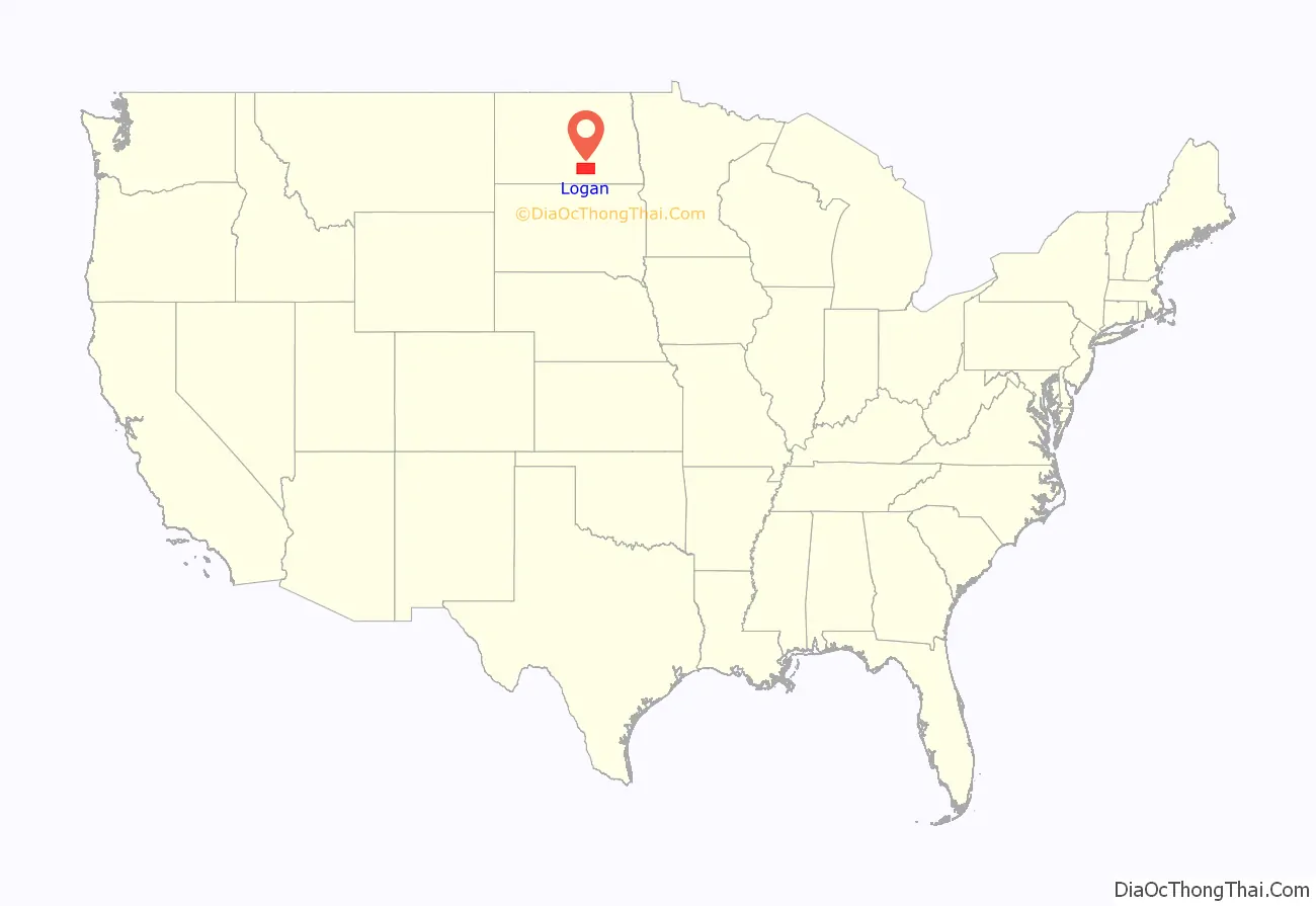
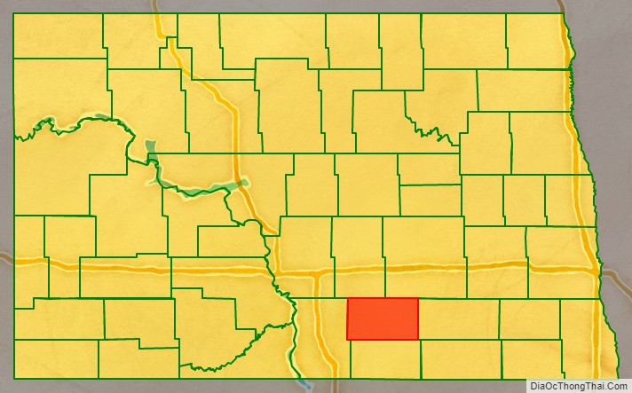
Logan County location map. Where is Logan County?
History
The Dakota Territory legislature created the county on January 4, 1873. It was named for John A. Logan (1826-1886), a Civil War general and United States Senator from Illinois. The county government was not organized at that time, but the county was not attached to another county for administrative or judicial purposes. The county government organization was effected on September 1, 1884.
The county’s boundaries were altered in 1883. They have remained in the present configuration since that time. Napoleon was the county seat from 1884 to 1899. King became the county seat briefly in 1899 before Napoleon once again was given that title.
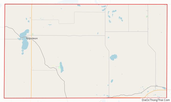
Logan County Road Map
Geography
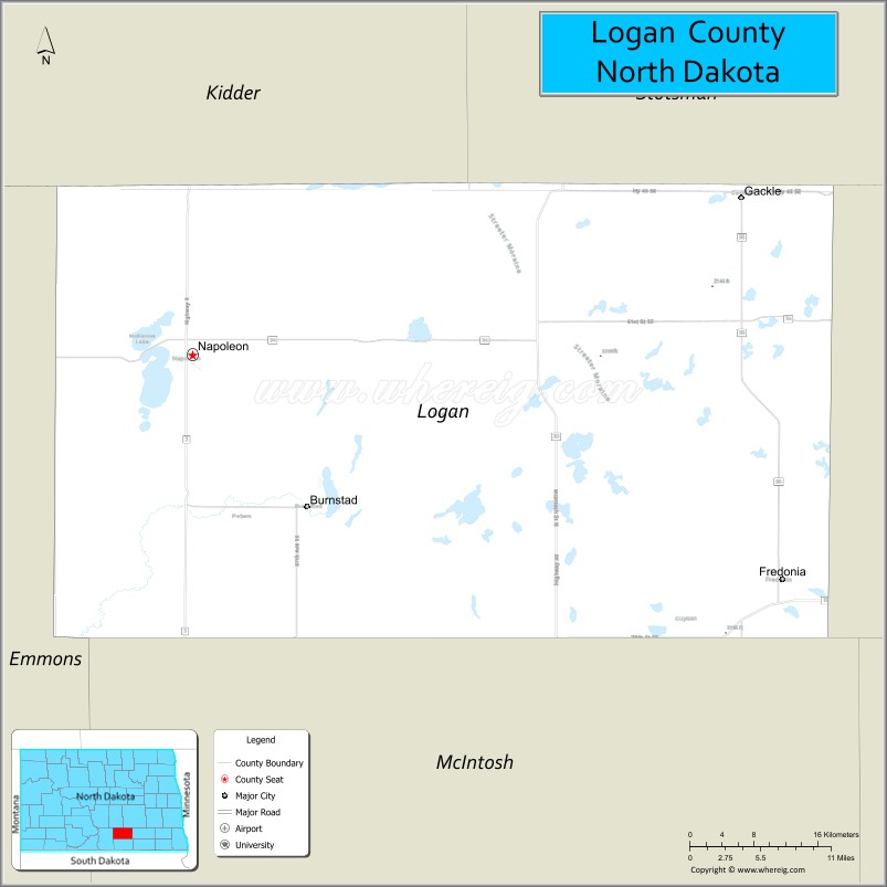
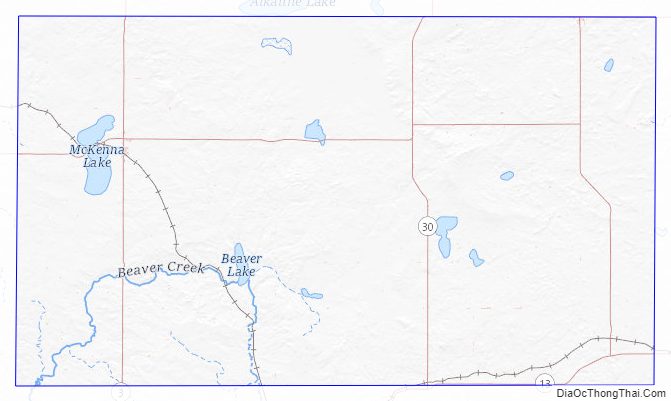
The Logan County terrain consists of rolling hills, dotted with lakes and ponds. The area is largely devoted to agriculture. The terrain slopes to the east, with its highest point near its southwestern corner at 2,133′ (650m) ASL. The county has a total area of 1,011 square miles (2,620 km), of which 933 square miles (2,420 km) is land and 1.8 square miles (4.7 km) (2.0%) is water.
Major highways
- North Dakota Highway 3
- North Dakota Highway 13
- North Dakota Highway 30
- North Dakota Highway 34
- North Dakota Highway 56
Adjacent counties
- Stutsman County – northeast
- LaMoure County – east
- McIntosh County – south
- Emmons County – west
- Kidder County – northwest
Protected areas
- Arnies Lake
- Beaver Lake
- Doyles Lake
- Fish Lake (part)
- Island Lake
- McKenna Lake
- Red Lake
- Round Lake
Protected areas
- Beaver Lake State Park
Logan County Topographic Map
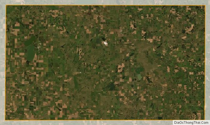
Logan County Satellite Map
Logan County Outline Map
See also
Map of North Dakota State and its subdivision:- Adams
- Barnes
- Benson
- Billings
- Bottineau
- Bowman
- Burke
- Burleigh
- Cass
- Cavalier
- Dickey
- Divide
- Dunn
- Eddy
- Emmons
- Foster
- Golden Valley
- Grand Forks
- Grant
- Griggs
- Hettinger
- Kidder
- Lamoure
- Logan
- McHenry
- McIntosh
- McKenzie
- McLean
- Mercer
- Morton
- Mountrail
- Nelson
- Oliver
- Pembina
- Pierce
- Ramsey
- Ransom
- Renville
- Richland
- Rolette
- Sargent
- Sheridan
- Sioux
- Slope
- Stark
- Steele
- Stutsman
- Towner
- Traill
- Walsh
- Ward
- Wells
- Williams
- Alabama
- Alaska
- Arizona
- Arkansas
- California
- Colorado
- Connecticut
- Delaware
- District of Columbia
- Florida
- Georgia
- Hawaii
- Idaho
- Illinois
- Indiana
- Iowa
- Kansas
- Kentucky
- Louisiana
- Maine
- Maryland
- Massachusetts
- Michigan
- Minnesota
- Mississippi
- Missouri
- Montana
- Nebraska
- Nevada
- New Hampshire
- New Jersey
- New Mexico
- New York
- North Carolina
- North Dakota
- Ohio
- Oklahoma
- Oregon
- Pennsylvania
- Rhode Island
- South Carolina
- South Dakota
- Tennessee
- Texas
- Utah
- Vermont
- Virginia
- Washington
- West Virginia
- Wisconsin
- Wyoming