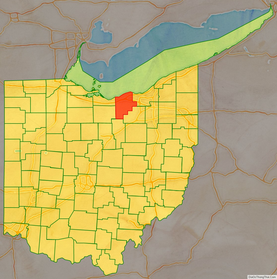
Lorain County is a county in the northeastern part of the U.S. state of Ohio. As of the 2020 census, the population was 312,964. Its county seat is Elyria. The county was physically established in 1822, becoming judicially independent in 1824. Lorain County is part of the Cleveland-Elyria, OH Metropolitan Statistical Area. The county is home to Oberlin College.
| Name: | Lorain County |
|---|---|
| FIPS code: | 39-093 |
| State: | Ohio |
| Founded: | April 1, 1824 |
| Named for: | Lorraine in France |
| Seat: | Elyria |
| Largest city: | Lorain |
| Total Area: | 923 sq mi (2,390 km²) |
| Land Area: | 491 sq mi (1,270 km²) |
| Total Population: | 312,964 |
| Population Density: | 340/sq mi (130/km²) |
| Website: | www.loraincounty.us |
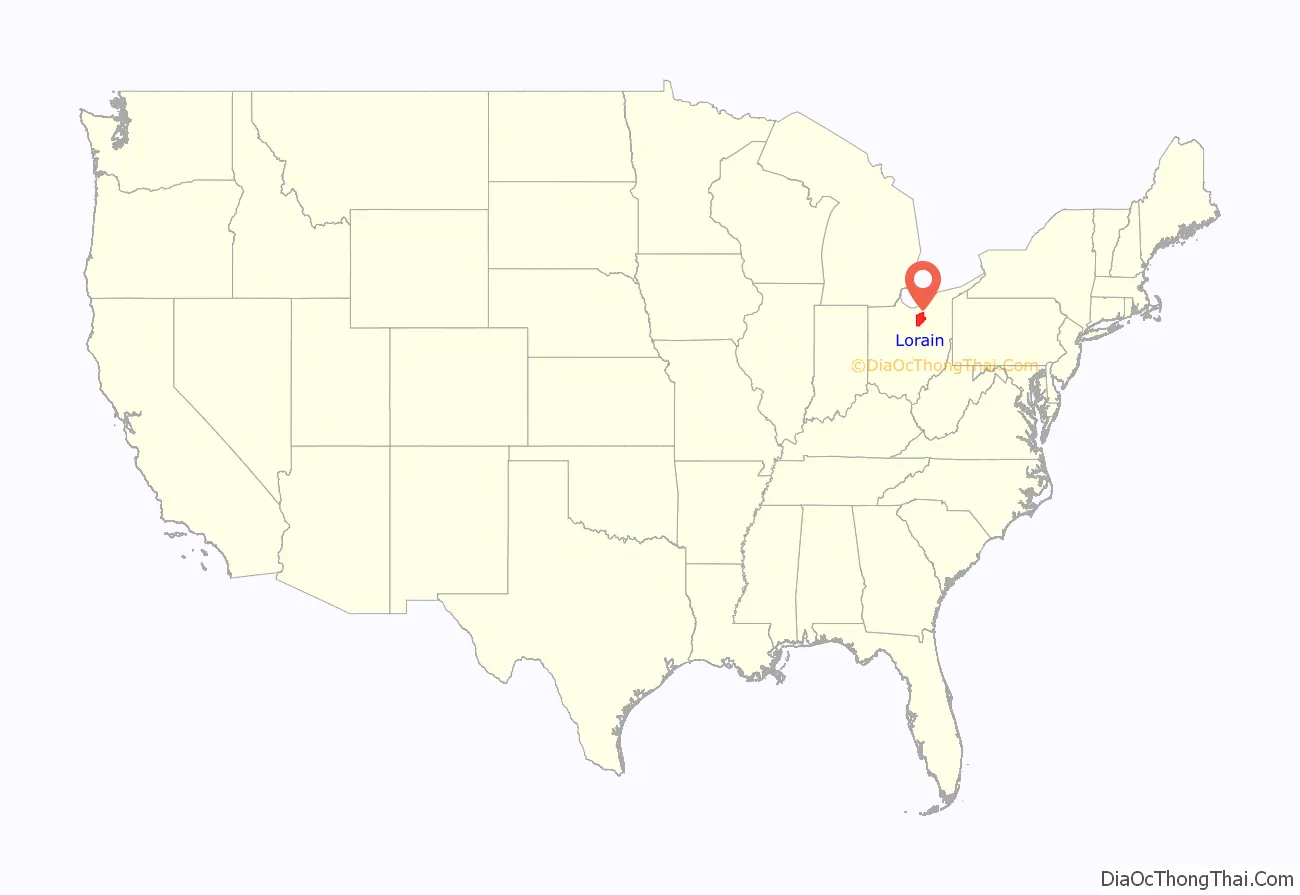
Lorain County location map. Where is Lorain County?
History
Lorain County was established in 1822 from portions of several of its adjacent counties. This county became judicially-independent in 1824. The original proposed name for the county was “Colerain”. The final name “Lorain” was chosen by Heman Ely, who had previously founded and named the city of Elyria. The county’s name was based on the French province of Lorraine.
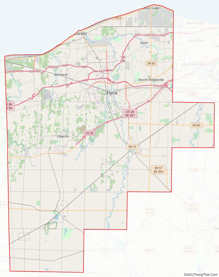
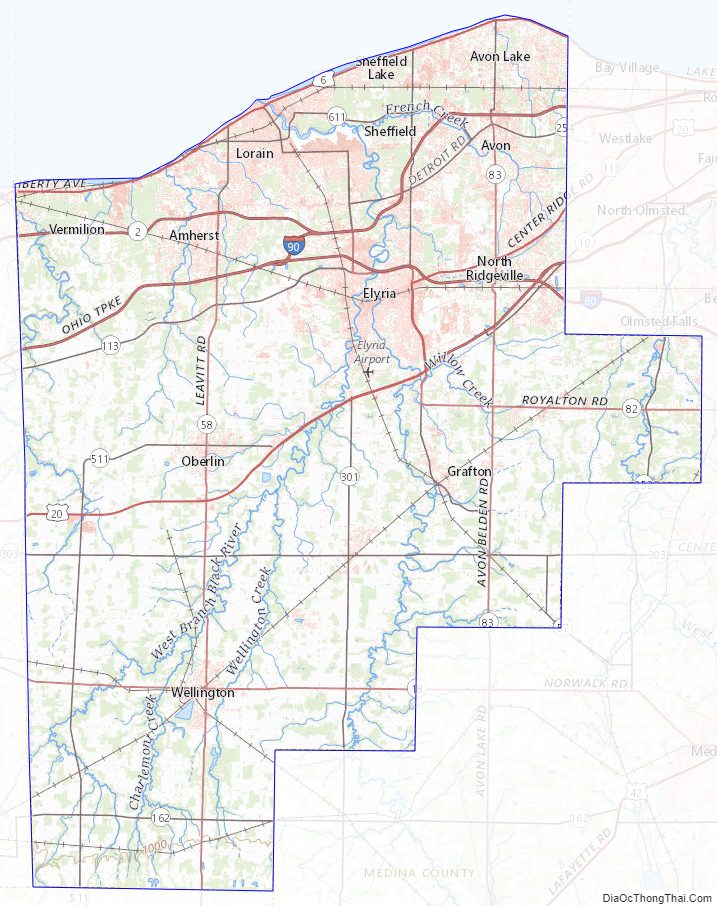
Lorain County Road Map
Geography
According to the United States Census Bureau, the county has an area of 923 square miles (2,390 km), of which 491 square miles (1,270 km) is land and 432 square miles (1,120 km) (47%) is water. It is Ohio’s fourth-largest county by area.
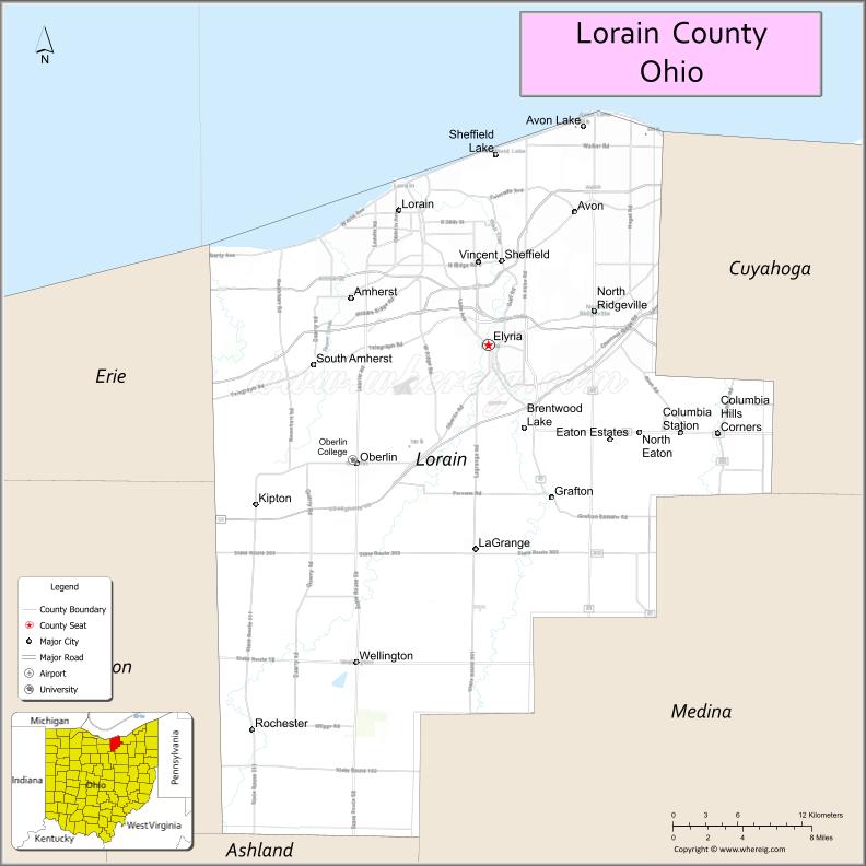
Adjacent counties
- Cuyahoga County (east)
- Medina County (southeast)
- Ashland County (south)
- Huron County (southwest)
- Erie County (northwest)
Major highways
- Interstate 80 (Ohio Turnpike)
- Interstate 90 (Ohio Turnpike)
- Interstate 480
- U.S. Route 6
- U.S. Route 20
- State Route 2
- State Route 10
- State Route 18
- State Route 57
- State Route 58
- Ohio Route 82
- Ohio Route 83
- State Route 113
- Ohio Route 162
- Ohio Route 254
- Ohio Route 301
- Ohio Route 303
- Ohio Route 511
- Ohio Route 611
Lorain County Topographic Map
Lorain County Satellite Map

Lorain County Outline Map
See also
Map of Ohio State and its subdivision:- Adams
- Allen
- Ashland
- Ashtabula
- Athens
- Auglaize
- Belmont
- Brown
- Butler
- Carroll
- Champaign
- Clark
- Clermont
- Clinton
- Columbiana
- Coshocton
- Crawford
- Cuyahoga
- Darke
- Defiance
- Delaware
- Erie
- Fairfield
- Fayette
- Franklin
- Fulton
- Gallia
- Geauga
- Greene
- Guernsey
- Hamilton
- Hancock
- Hardin
- Harrison
- Henry
- Highland
- Hocking
- Holmes
- Huron
- Jackson
- Jefferson
- Knox
- Lake
- Lake Erie
- Lawrence
- Licking
- Logan
- Lorain
- Lucas
- Madison
- Mahoning
- Marion
- Medina
- Meigs
- Mercer
- Miami
- Monroe
- Montgomery
- Morgan
- Morrow
- Muskingum
- Noble
- Ottawa
- Paulding
- Perry
- Pickaway
- Pike
- Portage
- Preble
- Putnam
- Richland
- Ross
- Sandusky
- Scioto
- Seneca
- Shelby
- Stark
- Summit
- Trumbull
- Tuscarawas
- Union
- Van Wert
- Vinton
- Warren
- Washington
- Wayne
- Williams
- Wood
- Wyandot
- Alabama
- Alaska
- Arizona
- Arkansas
- California
- Colorado
- Connecticut
- Delaware
- District of Columbia
- Florida
- Georgia
- Hawaii
- Idaho
- Illinois
- Indiana
- Iowa
- Kansas
- Kentucky
- Louisiana
- Maine
- Maryland
- Massachusetts
- Michigan
- Minnesota
- Mississippi
- Missouri
- Montana
- Nebraska
- Nevada
- New Hampshire
- New Jersey
- New Mexico
- New York
- North Carolina
- North Dakota
- Ohio
- Oklahoma
- Oregon
- Pennsylvania
- Rhode Island
- South Carolina
- South Dakota
- Tennessee
- Texas
- Utah
- Vermont
- Virginia
- Washington
- West Virginia
- Wisconsin
- Wyoming