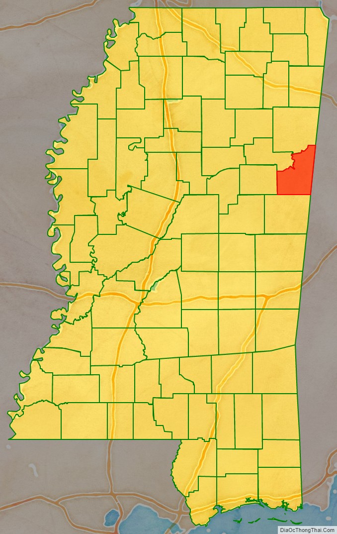
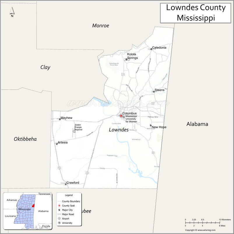
Lowndes County is a county on the eastern border of the U.S. state of Mississippi. As of the 2020 United States Census, the population was 58,879. Its county seat is Columbus. The county is named for U.S. Congressman and slave owner William Jones Lowndes.
Lowndes County comprises the Columbus, MS Micropolitan Statistical Area. Since the late 20th century, it has been designated as one of three counties in the Golden Triangle region of the state.
| Name: | Lowndes County |
|---|---|
| FIPS code: | 28-087 |
| State: | Mississippi |
| Founded: | 1830 |
| Named for: | William Jones Lowndes |
| Seat: | Columbus |
| Largest city: | Columbus |
| Total Area: | 516 sq mi (1,340 km²) |
| Land Area: | 506 sq mi (1,310 km²) |
| Total Population: | 58,879 |
| Population Density: | 110/sq mi (44/km²) |
| Time zone: | UTC−6 (Central) |
| Summer Time Zone (DST): | UTC−5 (CDT) |
| Website: | lowndescountyms.com |
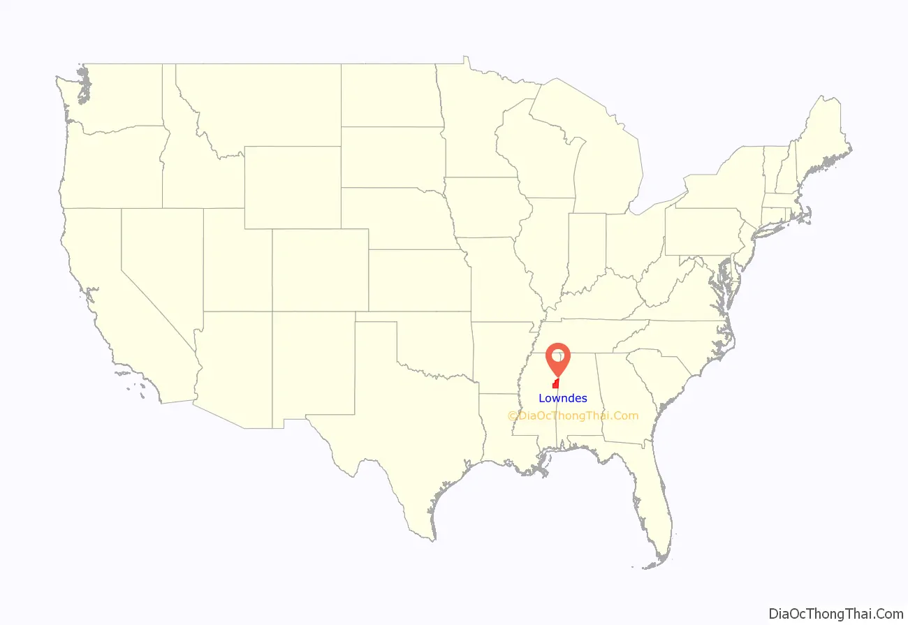
Lowndes County location map. Where is Lowndes County?
History
This upland area was settled by European Americans who wanted to develop cotton plantations to produce what became the largest commodity crop in the state.
In the period from 1877 to 1950, Lowndes County had 19 documented lynchings of African Americans, third to Carroll and Leflore counties, which had 29 and 48, respectively. This form of racial terrorism was at its height in the decades around the turn of the 20th century, which followed the state’s disenfranchisement of most blacks in 1890 through creating barriers to voter registration.
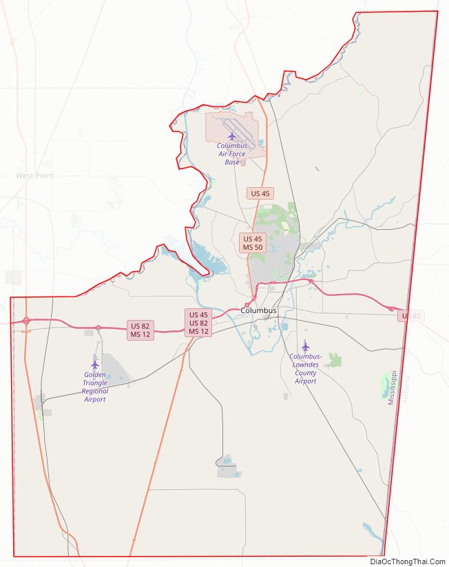
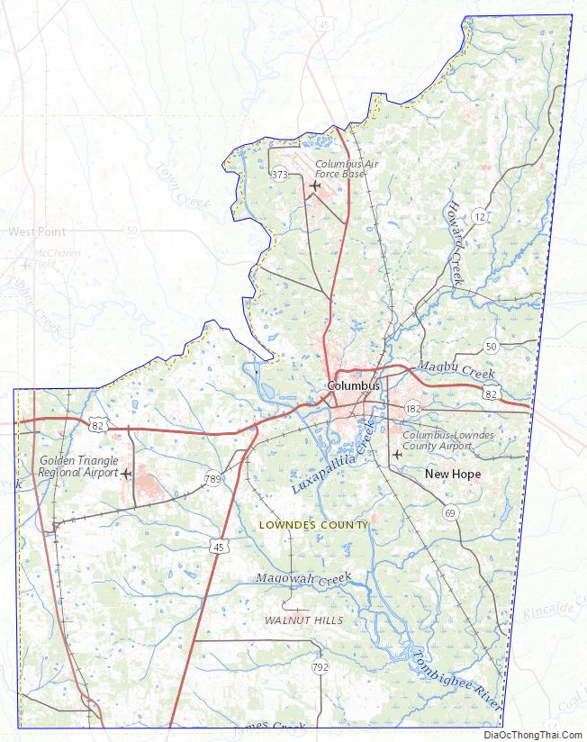
Lowndes County Road Map
Geography
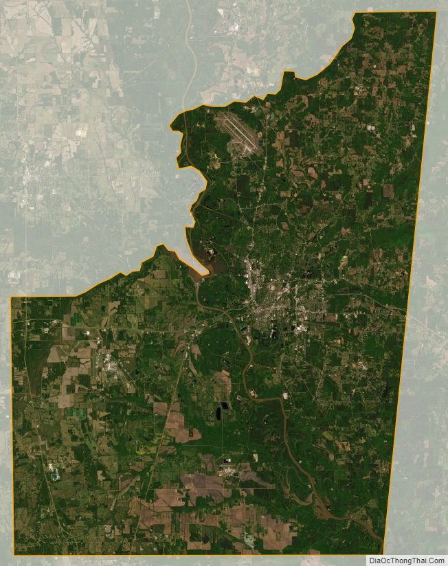
Lowndes County lies on the east side of Mississippi, bordering the U.S. state of Alabama. Its terrain was completely wooded before settlement; at present its more level areas have been cleared and turned to agricultural or urban use, with the drainages (about 40% of the total area) still wooded. The Tennessee−Tombigbee Waterway flows south-southeastward through the center of the county, with a significant lock system (John C. Stennis Lock and Dam) near Columbus. The county’s highest point (450 feet (140 meters) ASL) is a small rise near the county’s NE corner.
According to the United States Census Bureau, the county has a total area of 516 square miles (1,340 km), of which 506 square miles (1,310 km) is land and 11 square miles (28 km) (2.1%) is water.
Major highways
- U.S. Highway 45
- U.S. Route 45 Alternate
- U.S. Highway 82
- Mississippi Highway 12
- Mississippi Highway 50
- Mississippi Highway 69
- Mississippi Highway 182
Adjacent counties
- Noxubee County – south
- Oktibbeha County – west
- Clay County – northwest
- Monroe County – north
- Lamar County, Alabama – northeast
- Pickens County, Alabama – southeast
Lowndes County Topographic Map
Lowndes County Satellite Map
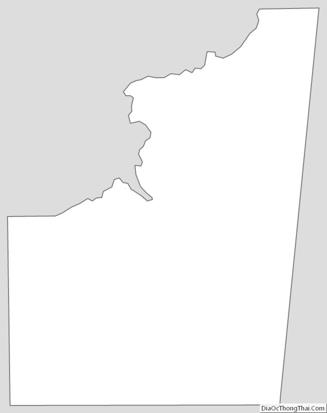
Lowndes County Outline Map
See also
Map of Mississippi State and its subdivision:- Adams
- Alcorn
- Amite
- Attala
- Benton
- Bolivar
- Calhoun
- Carroll
- Chickasaw
- Choctaw
- Claiborne
- Clarke
- Clay
- Coahoma
- Copiah
- Covington
- Desoto
- Forrest
- Franklin
- George
- Greene
- Grenada
- Hancock
- Harrison
- Hinds
- Holmes
- Humphreys
- Issaquena
- Itawamba
- Jackson
- Jasper
- Jefferson
- Jefferson Davis
- Jones
- Kemper
- Lafayette
- Lamar
- Lauderdale
- Lawrence
- Leake
- Lee
- Leflore
- Lincoln
- Lowndes
- Madison
- Marion
- Marshall
- Monroe
- Montgomery
- Neshoba
- Newton
- Noxubee
- Oktibbeha
- Panola
- Pearl River
- Perry
- Pike
- Pontotoc
- Prentiss
- Quitman
- Rankin
- Scott
- Sharkey
- Simpson
- Smith
- Stone
- Sunflower
- Tallahatchie
- Tate
- Tippah
- Tishomingo
- Tunica
- Union
- Walthall
- Warren
- Washington
- Wayne
- Webster
- Wilkinson
- Winston
- Yalobusha
- Yazoo
- Alabama
- Alaska
- Arizona
- Arkansas
- California
- Colorado
- Connecticut
- Delaware
- District of Columbia
- Florida
- Georgia
- Hawaii
- Idaho
- Illinois
- Indiana
- Iowa
- Kansas
- Kentucky
- Louisiana
- Maine
- Maryland
- Massachusetts
- Michigan
- Minnesota
- Mississippi
- Missouri
- Montana
- Nebraska
- Nevada
- New Hampshire
- New Jersey
- New Mexico
- New York
- North Carolina
- North Dakota
- Ohio
- Oklahoma
- Oregon
- Pennsylvania
- Rhode Island
- South Carolina
- South Dakota
- Tennessee
- Texas
- Utah
- Vermont
- Virginia
- Washington
- West Virginia
- Wisconsin
- Wyoming