Major County is a county in the northwestern part of the U.S. state of Oklahoma. As of the 2010 census, its population was 7,527. Its county seat is Fairview. The county was created in 1907.
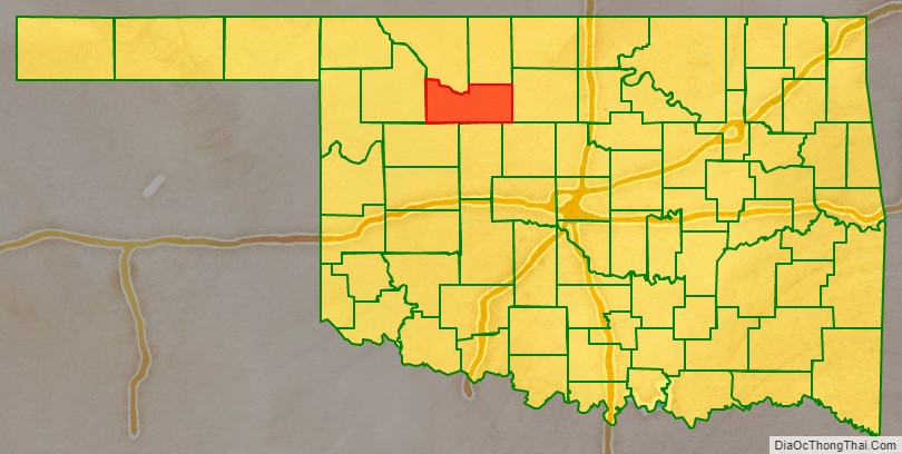
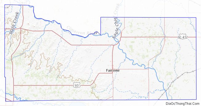
Located in northwestern Oklahoma, Major County is bounded by Woods and Alfalfa counties in the north, Garfield County on the east, Kingfisher, Blaine, and Dewey on the south, and Woodward on the west. Major County has 957.87 square miles of land and water. It is drained by the North Canadian and Cimarron Rivers, and the Eagle Chief, Griever, and Sand Creeks.
| Name: | Major County |
|---|---|
| FIPS code: | 40-093 |
| State: | Oklahoma |
| Founded: | 1907 |
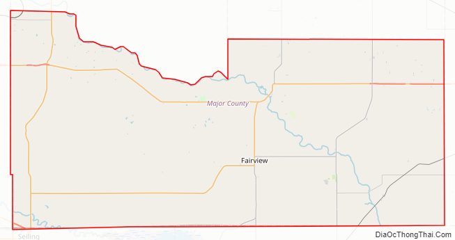
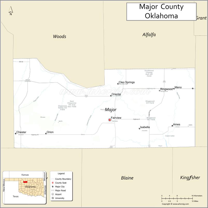
| Seat: | Fairview |
| Largest city: | Fairview |
| Total Area: | 958 sq mi (2,480 km²) |
| Land Area: | 955 sq mi (2,470 km²) |
| Total Population: | 7,527 |
| Population Density: | 7.9/sq mi (3.1/km²) |
| Time zone: | UTC−6 (Central) |
| Summer Time Zone (DST): | UTC−5 (CDT) |
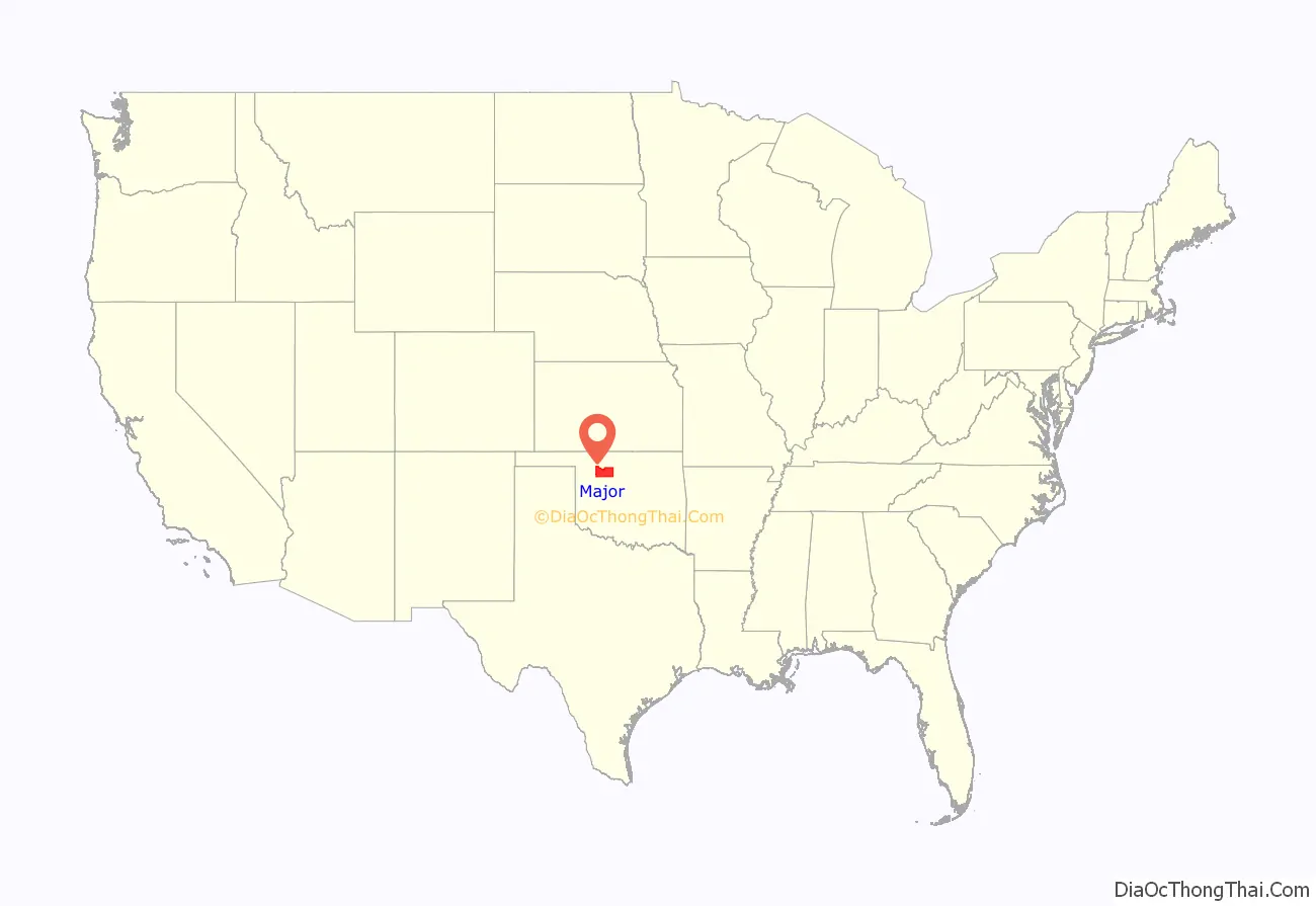
Major County location map. Where is Major County?
History
Upon statehood in 1907, Major County was created from southern part of a territorial county. Fairview, which had been settled following the Land Run of 1893, was designated the county seat, and voters reaffirmed the choice on December 22, 1908. The county commissioners rented office space until a brick courthouse was constructed. A second courthouse, made of stone, was erected in 1928.
Named for John Charles Major, a representative to the state’s 1906 Constitutional Convention, the area was originally settled by large numbers of Kansas Mennonites. One county town, Meno, received its name from an early leader of the Mennonite movement, Menno Simons.
The county experienced “Black Sunday” dust storms on April 14, 1935.
Major County Road Map
Geography
According to the U.S. Census Bureau, the county has a total area of 958 square miles (2,480 km), of which 955 square miles (2,470 km) are land and 3.0 square miles (7.8 km) (0.3%) are covered by water.
Eagle Chief Creek, which empties into the Cimarron River near Cleo Springs, was known to the Cheyenne people as Maheonekamax.
A large gypsum formation extends across much of western Oklahoma, and the Ames Structure, which is buried under 3,000 meters of sand and soil, is possibly the result of a meteorite impact.
The town of Ringwood is a well-known producer of watermelons in the region and holds a Watermelon Festival annually.
Major highways
- U.S. Highway 60
- U.S. Highway 281
- U.S. Highway 412
- State Highway 8
- State Highway 58
Adjacent counties
- Woods County (northwest)
- Alfalfa County (northeast)
- Garfield County (east)
- Kingfisher County (southeast)
- Blaine County (south)
- Dewey County (southwest)
- Woodward County (west)
Major County Topographic Map
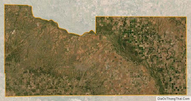
Major County Satellite Map
Major County Outline Map

See also
Map of Oklahoma State and its subdivision:- Adair
- Alfalfa
- Atoka
- Beaver
- Beckham
- Blaine
- Bryan
- Caddo
- Canadian
- Carter
- Cherokee
- Choctaw
- Cimarron
- Cleveland
- Coal
- Comanche
- Cotton
- Craig
- Creek
- Custer
- Delaware
- Dewey
- Ellis
- Garfield
- Garvin
- Grady
- Grant
- Greer
- Harmon
- Harper
- Haskell
- Hughes
- Jackson
- Jefferson
- Johnston
- Kay
- Kingfisher
- Kiowa
- Latimer
- Le Flore
- Lincoln
- Logan
- Love
- Major
- Marshall
- Mayes
- McClain
- McCurtain
- McIntosh
- Murray
- Muskogee
- Noble
- Nowata
- Okfuskee
- Oklahoma
- Okmulgee
- Osage
- Ottawa
- Pawnee
- Payne
- Pittsburg
- Pontotoc
- Pottawatomie
- Pushmataha
- Roger Mills
- Rogers
- Seminole
- Sequoyah
- Stephens
- Texas
- Tillman
- Tulsa
- Wagoner
- Washington
- Washita
- Woods
- Woodward
- Alabama
- Alaska
- Arizona
- Arkansas
- California
- Colorado
- Connecticut
- Delaware
- District of Columbia
- Florida
- Georgia
- Hawaii
- Idaho
- Illinois
- Indiana
- Iowa
- Kansas
- Kentucky
- Louisiana
- Maine
- Maryland
- Massachusetts
- Michigan
- Minnesota
- Mississippi
- Missouri
- Montana
- Nebraska
- Nevada
- New Hampshire
- New Jersey
- New Mexico
- New York
- North Carolina
- North Dakota
- Ohio
- Oklahoma
- Oregon
- Pennsylvania
- Rhode Island
- South Carolina
- South Dakota
- Tennessee
- Texas
- Utah
- Vermont
- Virginia
- Washington
- West Virginia
- Wisconsin
- Wyoming