Medina County (pronounced /məˈdaɪnə/) is a county in the U.S. state of Ohio. As of the 2020 census, the population was 182,470. Its county seat is Medina. The county was created in 1812 and later organized in 1818. It is named for Medina, a city in Saudi Arabia. Medina County is part of the Cleveland-Elyria, OH Metropolitan Statistical Area, although parts of the county are included in the urbanized area of Akron.
| Name: | Medina County |
|---|---|
| FIPS code: | 39-103 |
| State: | Ohio |
| Founded: | 1812 |
| Named for: | Medina, Saudi Arabia |
| Seat: | Medina |
| Largest city: | Brunswick |
| Total Area: | 423 sq mi (1,100 km²) |
| Land Area: | 421.3 sq mi (1,091 km²) |
| Total Population: | 182,470 |
| Population Density: | 430/sq mi (170/km²) |
| Time zone: | UTC−5 (Eastern) |
| Summer Time Zone (DST): | UTC−4 (EDT) |
| Website: | www.co.medina.oh.us |
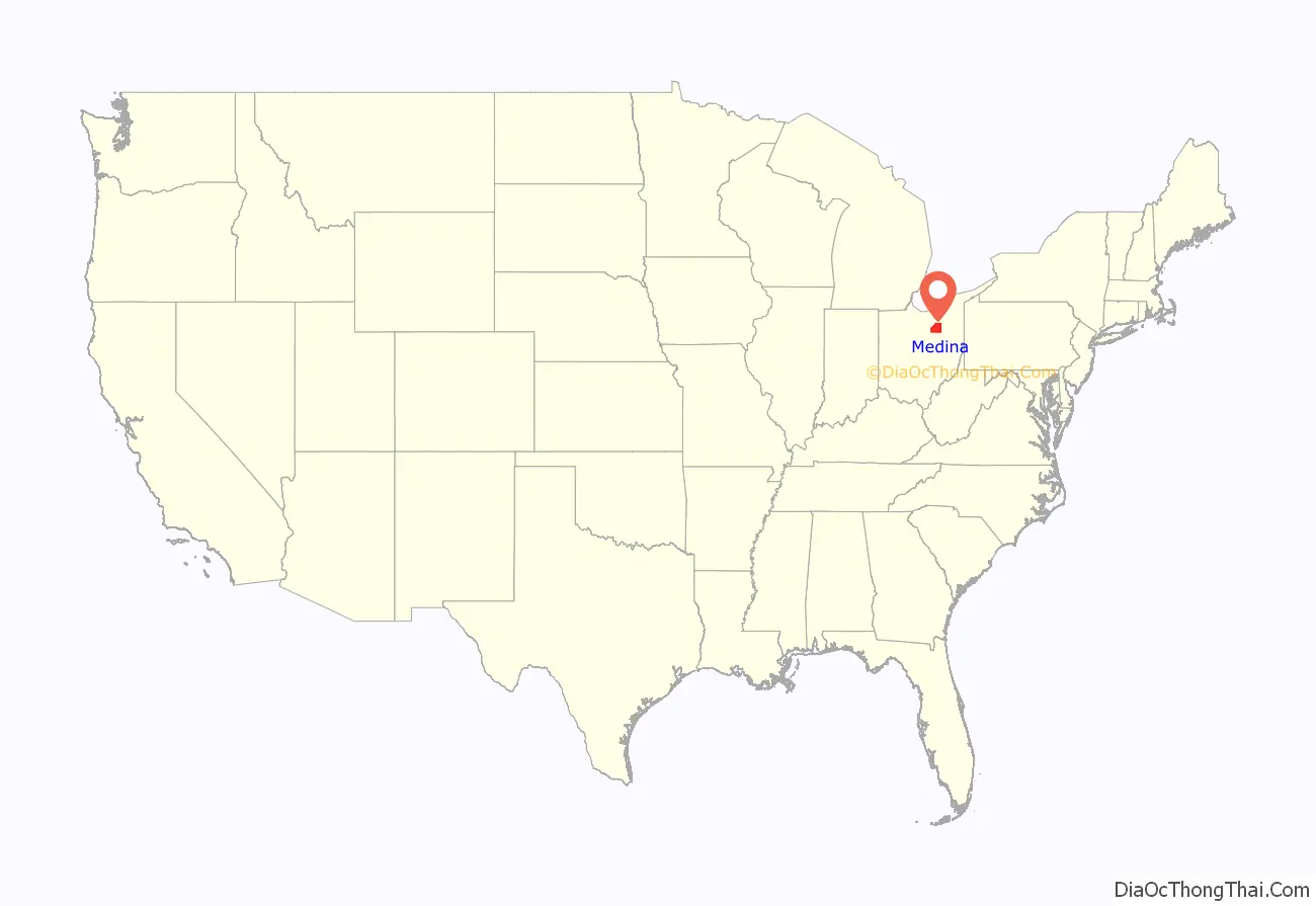
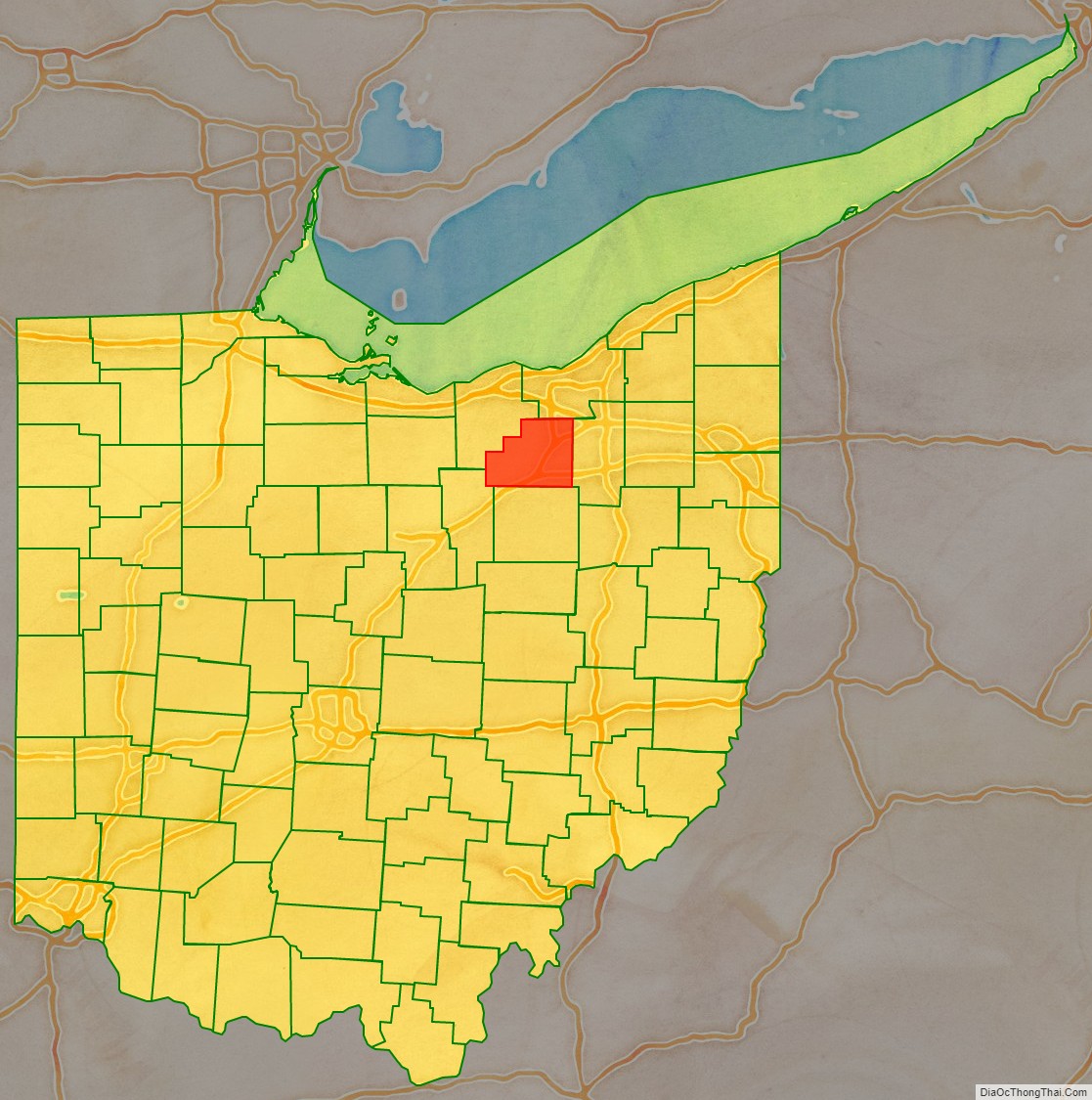
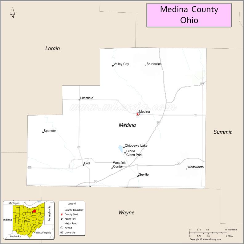
Medina County location map. Where is Medina County?
History
Before European colonization, several Native American tribes inhabited northeastern Ohio. After Europeans first crossed into the Americas, the land that became Medina County was colonized by the French, becoming part of the colony of Canada (New France). It was ceded in 1763 to Great Britain and renamed Province of Quebec. In the late 18th century the land became part of the Connecticut Western Reserve in the Northwest Territory, then was purchased by the Connecticut Land Company in 1795. Parts of Medina County and neighbouring Lorain became home to the Black River Colony founded in 1852, a religious community centered on the pious lifestyle of the German Baptist Brethren.
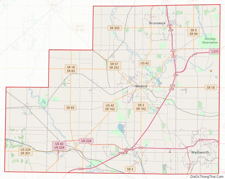
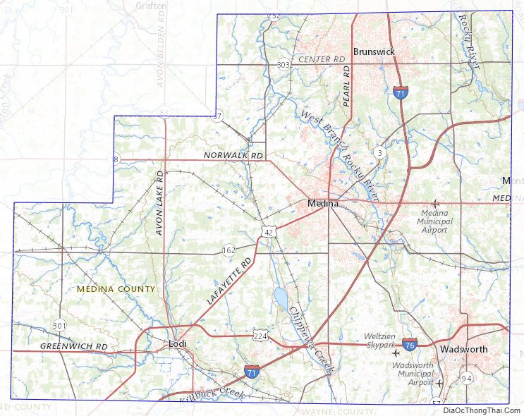
Medina County Road Map
Geography
According to the United States Census Bureau, the county has a total area of 423 square miles (1,096 km), of which 421.3 square miles (1,091 km) is land and 1.7 square miles (4 km) (0.4%) is water.
The Medina County Park District, established in 1965, manages 6,353 acres (2,571 ha), including 18 parks and trails.
Adjacent counties
- Cuyahoga County (northeast)
- Summit County (east)
- Wayne County (south)
- Ashland County (southwest)
- Lorain County (northwest)
Medina County Topographic Map
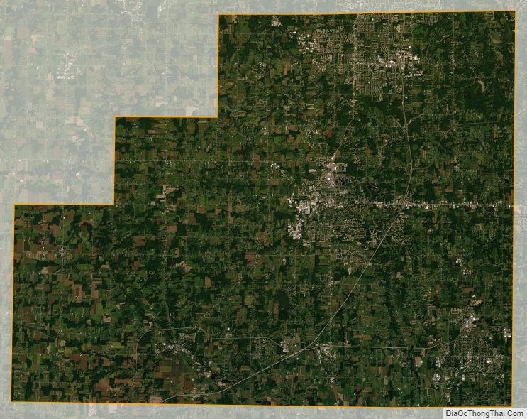
Medina County Satellite Map
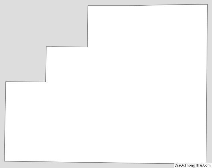
Medina County Outline Map
See also
Map of Ohio State and its subdivision:- Adams
- Allen
- Ashland
- Ashtabula
- Athens
- Auglaize
- Belmont
- Brown
- Butler
- Carroll
- Champaign
- Clark
- Clermont
- Clinton
- Columbiana
- Coshocton
- Crawford
- Cuyahoga
- Darke
- Defiance
- Delaware
- Erie
- Fairfield
- Fayette
- Franklin
- Fulton
- Gallia
- Geauga
- Greene
- Guernsey
- Hamilton
- Hancock
- Hardin
- Harrison
- Henry
- Highland
- Hocking
- Holmes
- Huron
- Jackson
- Jefferson
- Knox
- Lake
- Lake Erie
- Lawrence
- Licking
- Logan
- Lorain
- Lucas
- Madison
- Mahoning
- Marion
- Medina
- Meigs
- Mercer
- Miami
- Monroe
- Montgomery
- Morgan
- Morrow
- Muskingum
- Noble
- Ottawa
- Paulding
- Perry
- Pickaway
- Pike
- Portage
- Preble
- Putnam
- Richland
- Ross
- Sandusky
- Scioto
- Seneca
- Shelby
- Stark
- Summit
- Trumbull
- Tuscarawas
- Union
- Van Wert
- Vinton
- Warren
- Washington
- Wayne
- Williams
- Wood
- Wyandot
- Alabama
- Alaska
- Arizona
- Arkansas
- California
- Colorado
- Connecticut
- Delaware
- District of Columbia
- Florida
- Georgia
- Hawaii
- Idaho
- Illinois
- Indiana
- Iowa
- Kansas
- Kentucky
- Louisiana
- Maine
- Maryland
- Massachusetts
- Michigan
- Minnesota
- Mississippi
- Missouri
- Montana
- Nebraska
- Nevada
- New Hampshire
- New Jersey
- New Mexico
- New York
- North Carolina
- North Dakota
- Ohio
- Oklahoma
- Oregon
- Pennsylvania
- Rhode Island
- South Carolina
- South Dakota
- Tennessee
- Texas
- Utah
- Vermont
- Virginia
- Washington
- West Virginia
- Wisconsin
- Wyoming