Merced County (/mərˈsɛd/ (listen) mər-SED), is a county located in the northern San Joaquin Valley section of the Central Valley, in the U.S. state of California.
As of the 2020 census, the population was 281,202. The county seat is Merced. The county is named after the Merced River.
Merced County comprises the Merced, CA Metropolitan Statistical Area, which is included in the Modesto-Merced, CA Combined Statistical Area. It is located north of Fresno County and Fresno, and southeast of Santa Clara County and San Jose.
| Name: | Merced County |
|---|---|
| FIPS code: | 06-047 |
| State: | California |
| Founded: | 1855 |
| Named for: | Merced River, originally El Río de Nuestra Señora de la Merced (“River of Our Lady of Mercy” in Spanish). |
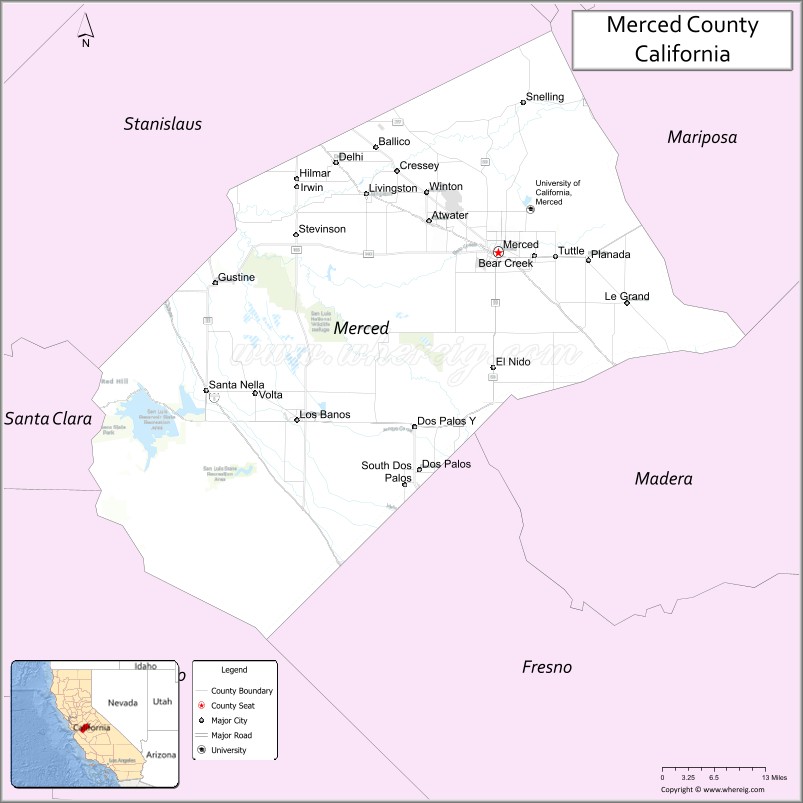
| Seat: | Merced |
| Largest city: | Merced |
| Total Area: | 1,979 sq mi (5,130 km²) |
| Land Area: | 1,935 sq mi (5,010 km²) |
| Total Population: | 281,202 |
| Population Density: | 140/sq mi (55/km²) |
| Time zone: | UTC−8 (Pacific Time Zone) |
| Summer Time Zone (DST): | UTC−7 (Pacific Daylight Time) |
| Website: | www.co.merced.ca.us |
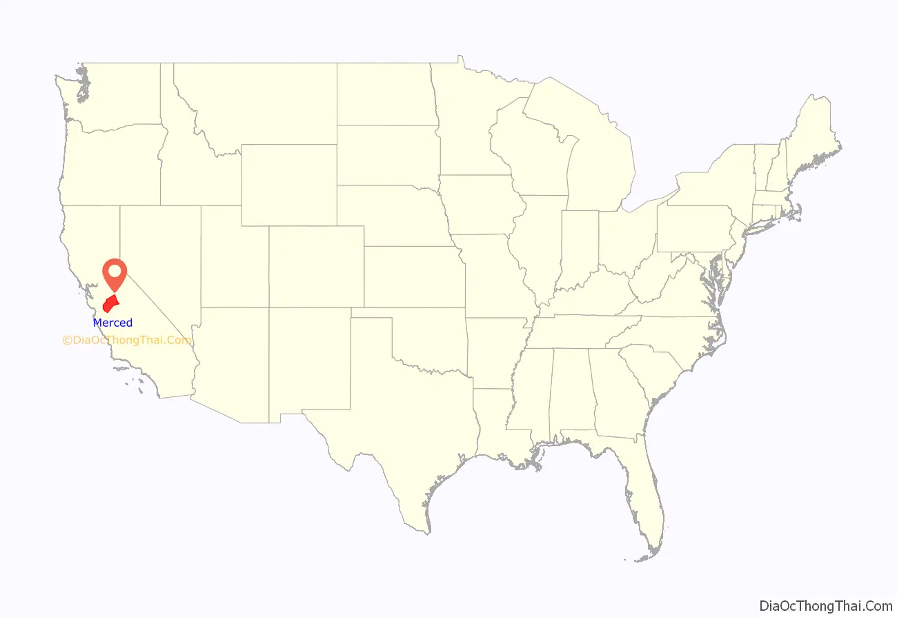
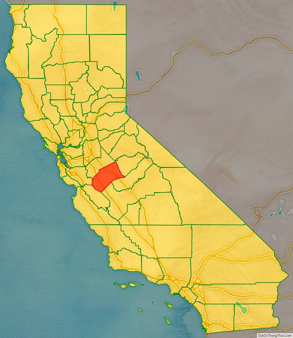
Merced County location map. Where is Merced County?
History
The county derives its name from the Merced River, or El Río de Nuestra Señora de la Merced (River of Our Lady of Mercy), named in 1806 by an expedition headed by Gabriel Moraga, which came upon it at the end of a hot dusty ride on the El Camino Viejo across the San Joaquin Valley in Spanish colonial Las Californias Province.
Between 1841 and 1844, during the period when Alta California was a territory of independent Mexico, four Mexican land grants were made in what became Merced County: Rancho Orestimba y Las Garzas, Rancho Panoche de San Juan y Los Carrisolitos, Rancho San Luis Gonzaga, and Rancho Sanjon de Santa Rita
Merced County was formed in 1855 from parts of Mariposa County. Parts of its territory were given to Fresno County in 1856.
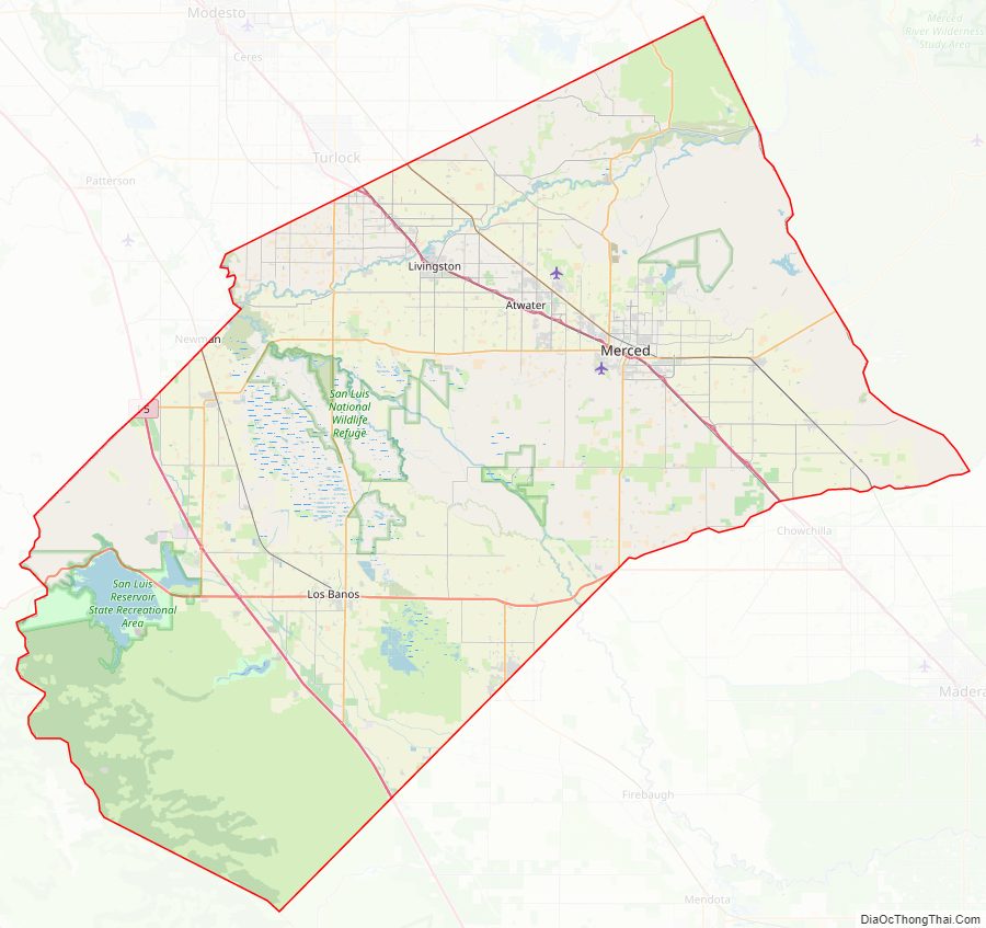
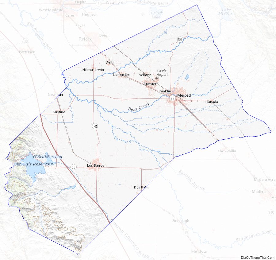
Merced County Road Map
Geography
According to the U.S. Census Bureau, the county has a total area of 1,979 square miles (5,130 km), of which 1,935 square miles (5,010 km) is land and 44 square miles (110 km) (2.2%) is water.
National protected areas
- Merced National Wildlife Refuge
- San Luis National Wildlife Refuge
Merced County Topographic Map
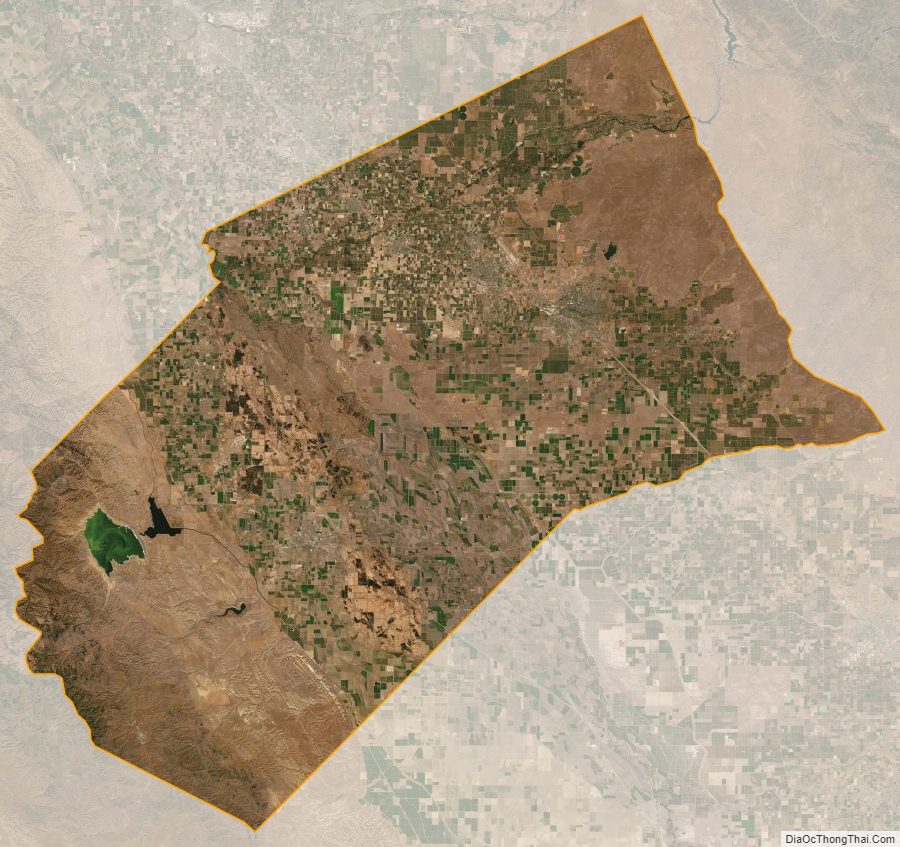
Merced County Satellite Map
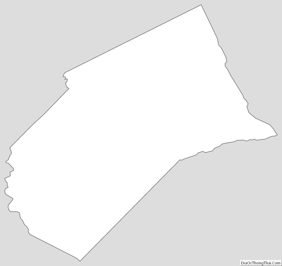
Merced County Outline Map
See also
Map of California State and its subdivision:- Alameda
- Alpine
- Amador
- Butte
- Calaveras
- Colusa
- Contra Costa
- Del Norte
- El Dorado
- Fresno
- Glenn
- Humboldt
- Imperial
- Inyo
- Kern
- Kings
- Lake
- Lassen
- Los Angeles
- Madera
- Marin
- Mariposa
- Mendocino
- Merced
- Modoc
- Mono
- Monterey
- Napa
- Nevada
- Orange
- Placer
- Plumas
- Riverside
- Sacramento
- San Benito
- San Bernardino
- San Diego
- San Francisco
- San Joaquin
- San Luis Obispo
- San Mateo
- Santa Barbara
- Santa Clara
- Santa Cruz
- Shasta
- Sierra
- Siskiyou
- Solano
- Sonoma
- Stanislaus
- Sutter
- Tehama
- Trinity
- Tulare
- Tuolumne
- Ventura
- Yolo
- Yuba
- Alabama
- Alaska
- Arizona
- Arkansas
- California
- Colorado
- Connecticut
- Delaware
- District of Columbia
- Florida
- Georgia
- Hawaii
- Idaho
- Illinois
- Indiana
- Iowa
- Kansas
- Kentucky
- Louisiana
- Maine
- Maryland
- Massachusetts
- Michigan
- Minnesota
- Mississippi
- Missouri
- Montana
- Nebraska
- Nevada
- New Hampshire
- New Jersey
- New Mexico
- New York
- North Carolina
- North Dakota
- Ohio
- Oklahoma
- Oregon
- Pennsylvania
- Rhode Island
- South Carolina
- South Dakota
- Tennessee
- Texas
- Utah
- Vermont
- Virginia
- Washington
- West Virginia
- Wisconsin
- Wyoming