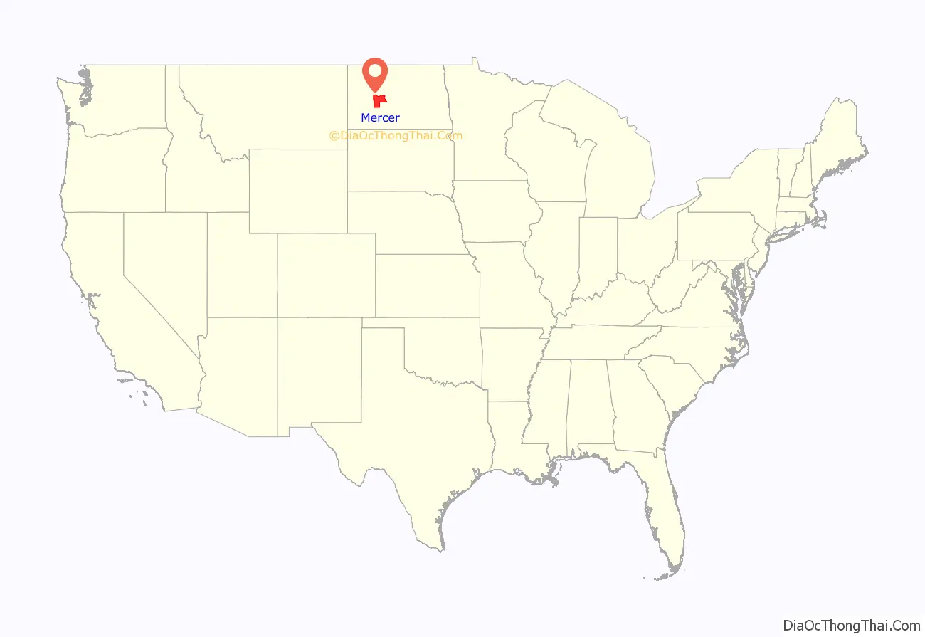
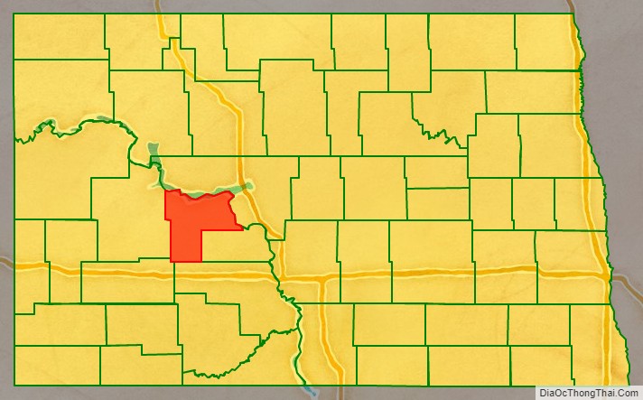
Mercer County is a county in the U.S. state of North Dakota. As of the 2020 census, the population was 8,350. Its county seat is Stanton.
| Name: | Mercer County |
|---|---|
| FIPS code: | 38-057 |
| State: | North Dakota |
| Founded: | 1875 |
| Named for: | W. H. H. Mercer |
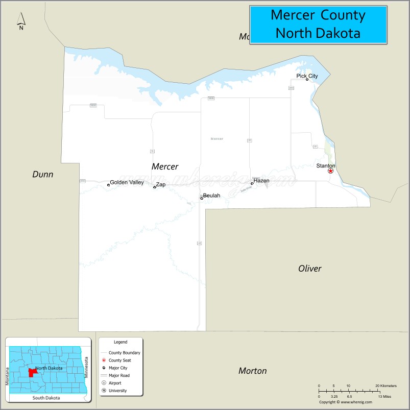
| Seat: | Stanton |
| Largest city: | Beulah |
| Total Area: | 1,112 sq mi (2,880 km²) |
| Land Area: | 1,043 sq mi (2,700 km²) |
| Total Population: | 8,350 |
| Population Density: | 7.5/sq mi (2.9/km²) |
| Time zone: | UTC−6 (Central) |
| Summer Time Zone (DST): | UTC−5 (CDT) |
| Website: | www.mercercountynd.com |
Mercer County location map. Where is Mercer County?
History
The Dakota Territory legislature enacted an January 8, 1873 law to create a county named Mercer, whose boundaries would be identical to Pratt (a now-extinct county). This county did not come into existence, as the 1873 act was nullified on January 14, 1875, by the legislature. On that date the legislature created another Mercer County, from previously unorganized territory. The county was named for William Henry Harrison Mercer, (1844–1901), a rancher who settled north of Bismarck in 1869. The unorganized county was not attached to another county for judicial or administrative purposes; this condition continued until November 6, 1883, when the county government was organized.
The county boundaries were altered in 1879, 1881, 1885, 1892, and 1901. Its boundaries have remained unchanged since 1901.
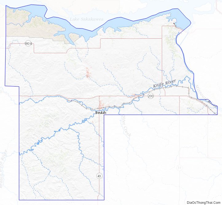
Mercer County Road Map
Geography
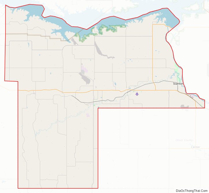
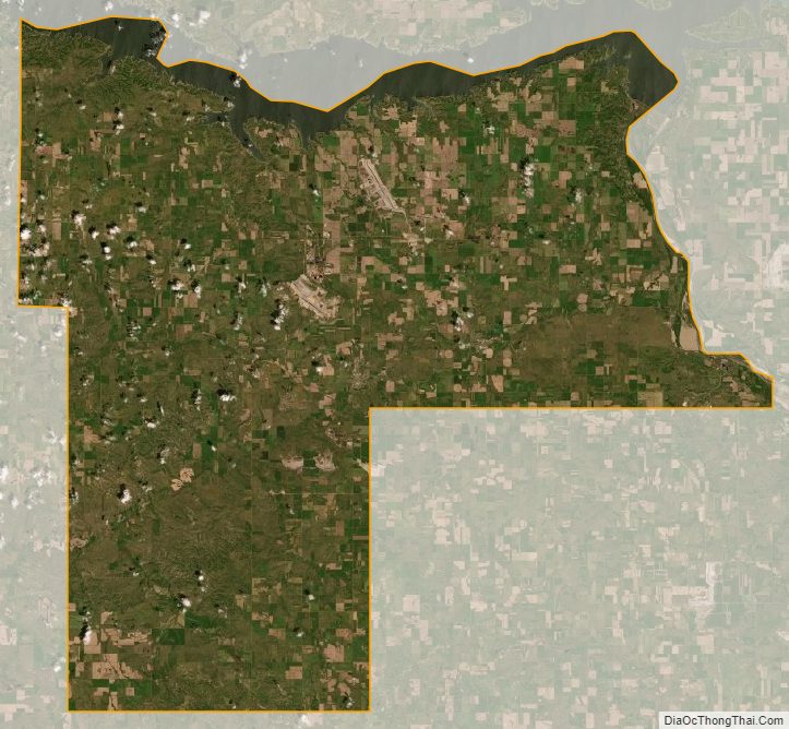
The northern boundary of Mercer County is delineated by Lake Sakakawea, created in 1956 on the Missouri River. The county’s eastern boundary is delineated by the river as it flows southeastward from the dam that created the lake. The county terrain consists of rolling hills, largely devoted to agriculture. The terrain slopes to the north and east; its highest point is near the midpoint of its southern boundary, at 2,451′ (747m) ASL. The county has a total area of 1,112 square miles (2,880 km), of which 1,043 square miles (2,700 km) is land and 70 square miles (180 km) (6.3%) is water.
The southwestern corner counties of North Dakota (Adams, Billings, Bowman, Golden Valley, Grant, Hettinger, Slope, Stark) observe Mountain Time. The counties of McKenzie, Dunn, and Sioux counties are split, with their northern portions observing Central Time and the southern portions observing Mountain Time.
Prior to November 7, 2010, the western portion of Mercer County was in Mountain Time. But it was all moved into the Central Time on that date.
Major highways
- North Dakota Highway 31
- North Dakota Highway 48
- North Dakota Highway 49
- North Dakota Highway 200
- North Dakota Highway 1806
Adjacent counties
- McLean County – north
- Oliver County – east
- Morton County – south
- Stark County – southwest (observes Mountain Time)
- Dunn County west (observes Mountain Time in southern portion)
Protected areas
- Beaver Creek State Game Management Area
- Hazen Bay Recreation Area
- Knife River Indian Villages National Historic Site
- Lake Sakakawea State Park
Lake
- Lake Sakakawea
Mercer County Topographic Map
Mercer County Satellite Map
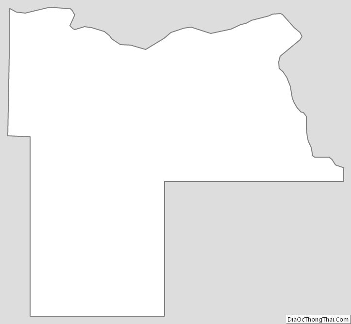
Mercer County Outline Map
See also
Map of North Dakota State and its subdivision:- Adams
- Barnes
- Benson
- Billings
- Bottineau
- Bowman
- Burke
- Burleigh
- Cass
- Cavalier
- Dickey
- Divide
- Dunn
- Eddy
- Emmons
- Foster
- Golden Valley
- Grand Forks
- Grant
- Griggs
- Hettinger
- Kidder
- Lamoure
- Logan
- McHenry
- McIntosh
- McKenzie
- McLean
- Mercer
- Morton
- Mountrail
- Nelson
- Oliver
- Pembina
- Pierce
- Ramsey
- Ransom
- Renville
- Richland
- Rolette
- Sargent
- Sheridan
- Sioux
- Slope
- Stark
- Steele
- Stutsman
- Towner
- Traill
- Walsh
- Ward
- Wells
- Williams
- Alabama
- Alaska
- Arizona
- Arkansas
- California
- Colorado
- Connecticut
- Delaware
- District of Columbia
- Florida
- Georgia
- Hawaii
- Idaho
- Illinois
- Indiana
- Iowa
- Kansas
- Kentucky
- Louisiana
- Maine
- Maryland
- Massachusetts
- Michigan
- Minnesota
- Mississippi
- Missouri
- Montana
- Nebraska
- Nevada
- New Hampshire
- New Jersey
- New Mexico
- New York
- North Carolina
- North Dakota
- Ohio
- Oklahoma
- Oregon
- Pennsylvania
- Rhode Island
- South Carolina
- South Dakota
- Tennessee
- Texas
- Utah
- Vermont
- Virginia
- Washington
- West Virginia
- Wisconsin
- Wyoming