| Name: | Missaukee County |
|---|---|
| FIPS code: | 26-113 |
| State: | Michigan |
| Founded: | 1871 |
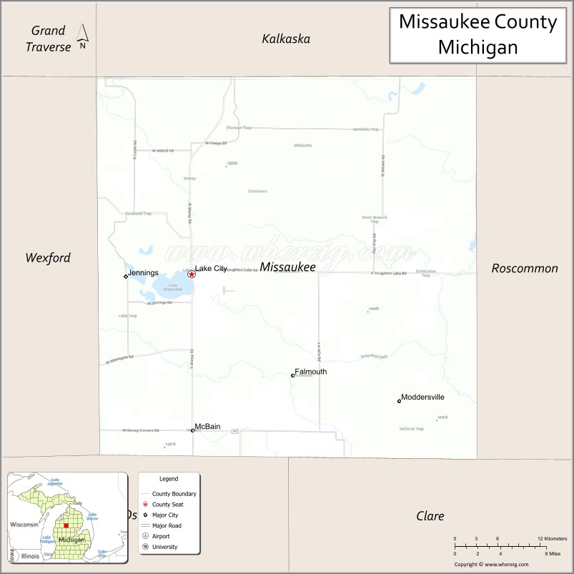
| Seat: | Lake City |
| Largest city: | Lake City |
| Total Area: | 574 sq mi (1,490 km²) |
| Land Area: | 565 sq mi (1,460 km²) |
| Total Population: | 15,052 |
| Population Density: | 26/sq mi (10/km²) |
| Time zone: | UTC−5 (Eastern) |
| Summer Time Zone (DST): | UTC−4 (EDT) |
| Website: | www.missaukee.org |
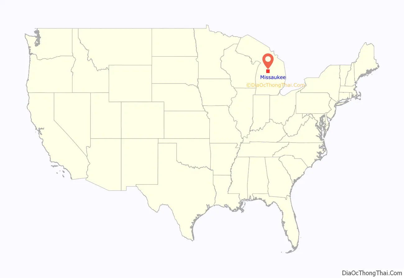
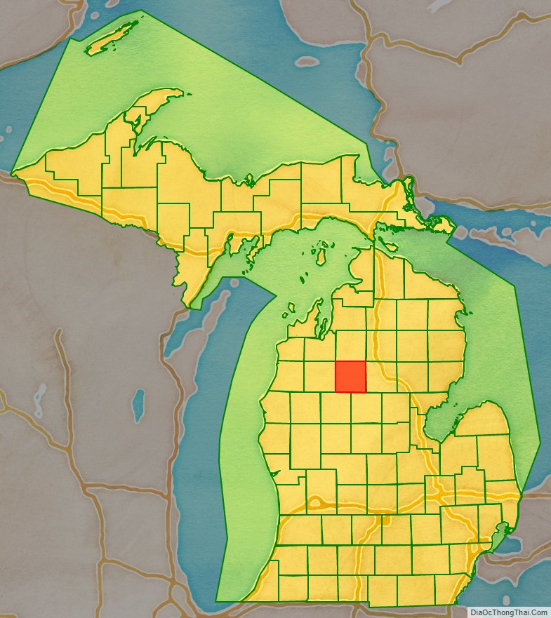
Missaukee County location map. Where is Missaukee County?
History
Missaukee County was partitioned from Mackinac County, on April 1st, 1840, due to expected population growth. In 1851, the county was attached to Grand Traverse County for legal purposes. It was subsequently attached to Manistee County in 1855 and Wexford County in 1869, before being organized in its own right in 1871.
Etymology
Missaukee County may be named after a prominent Ottawa chief, Nesaukee, who signed the treaties of 1831 and 1833. However, it is also said that “Nesaukee” could be interpreted as ‘large mouth of the river.’
Missaukee County Road Map
Geography
According to the U.S. Census Bureau, the county has a total area of 574 square miles (1,490 km), of which 565 square miles (1,460 km) is land and 9.1 square miles (24 km) (1.6%) is water.
Lakes and rivers
There are 33 natural freshwater lakes in Missaukee County. The largest of these, Lake Missaukee, has a surface area of 1,800 acres (730 ha). The lakes and streams in much of the county drain into the Muskegon River, which flows generally north to south through its eastern tier of townships. The 51.1-mile-long (82.2 km) Clam River, a tributary of the Muskegon, flows generally west to east through the county. The Reedsburg Dam is located within Missaukee County.
Major highways
- M-42 is a short east–west route in the northwest of the county, connecting M-66 near Lake City to US Highway 131 at Manton.
- M-55 is an east–west route traversing the Lower Peninsula.
- M-66 is a north–south route running from the Indiana border to US Highway 31 in Charlevoix.
Adjacent counties
- Kalkaska County – north
- Crawford County – northeast
- Roscommon County – east
- Clare County – southeast
- Osceola County – southwest
- Wexford County – west
- Grand Traverse County – northwest
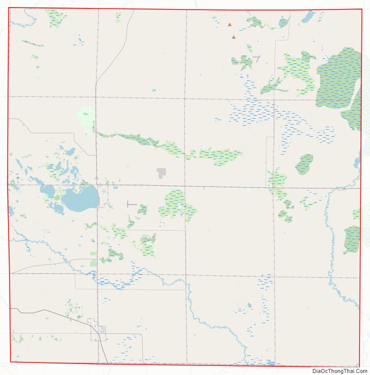
Missaukee County Topographic Map

Missaukee County Satellite Map

Missaukee County Outline Map

See also
Map of Michigan State and its subdivision:- Alcona
- Alger
- Allegan
- Alpena
- Antrim
- Arenac
- Baraga
- Barry
- Bay
- Benzie
- Berrien
- Branch
- Calhoun
- Cass
- Charlevoix
- Cheboygan
- Chippewa
- Clare
- Clinton
- Crawford
- Delta
- Dickinson
- Eaton
- Emmet
- Genesee
- Gladwin
- Gogebic
- Grand Traverse
- Gratiot
- Hillsdale
- Houghton
- Huron
- Ingham
- Ionia
- Iosco
- Iron
- Isabella
- Jackson
- Kalamazoo
- Kalkaska
- Kent
- Keweenaw
- Lake
- Lake Hurron
- Lake Michigan
- Lake St. Clair
- Lake Superior
- Lapeer
- Leelanau
- Lenawee
- Livingston
- Luce
- Mackinac
- Macomb
- Manistee
- Marquette
- Mason
- Mecosta
- Menominee
- Midland
- Missaukee
- Monroe
- Montcalm
- Montmorency
- Muskegon
- Newaygo
- Oakland
- Oceana
- Ogemaw
- Ontonagon
- Osceola
- Oscoda
- Otsego
- Ottawa
- Presque Isle
- Roscommon
- Saginaw
- Saint Clair
- Saint Joseph
- Sanilac
- Schoolcraft
- Shiawassee
- Tuscola
- Van Buren
- Washtenaw
- Wayne
- Wexford
- Alabama
- Alaska
- Arizona
- Arkansas
- California
- Colorado
- Connecticut
- Delaware
- District of Columbia
- Florida
- Georgia
- Hawaii
- Idaho
- Illinois
- Indiana
- Iowa
- Kansas
- Kentucky
- Louisiana
- Maine
- Maryland
- Massachusetts
- Michigan
- Minnesota
- Mississippi
- Missouri
- Montana
- Nebraska
- Nevada
- New Hampshire
- New Jersey
- New Mexico
- New York
- North Carolina
- North Dakota
- Ohio
- Oklahoma
- Oregon
- Pennsylvania
- Rhode Island
- South Carolina
- South Dakota
- Tennessee
- Texas
- Utah
- Vermont
- Virginia
- Washington
- West Virginia
- Wisconsin
- Wyoming