Moody County is a county in the U.S. state of South Dakota, United States. The population was 6,336 at the 2020 census. Its county seat is Flandreau. The county is named for Gideon C. Moody.
| Name: | Moody County |
|---|---|
| FIPS code: | 46-101 |
| State: | South Dakota |
| Founded: | 1873 |
| Named for: | Gideon C. Moody |
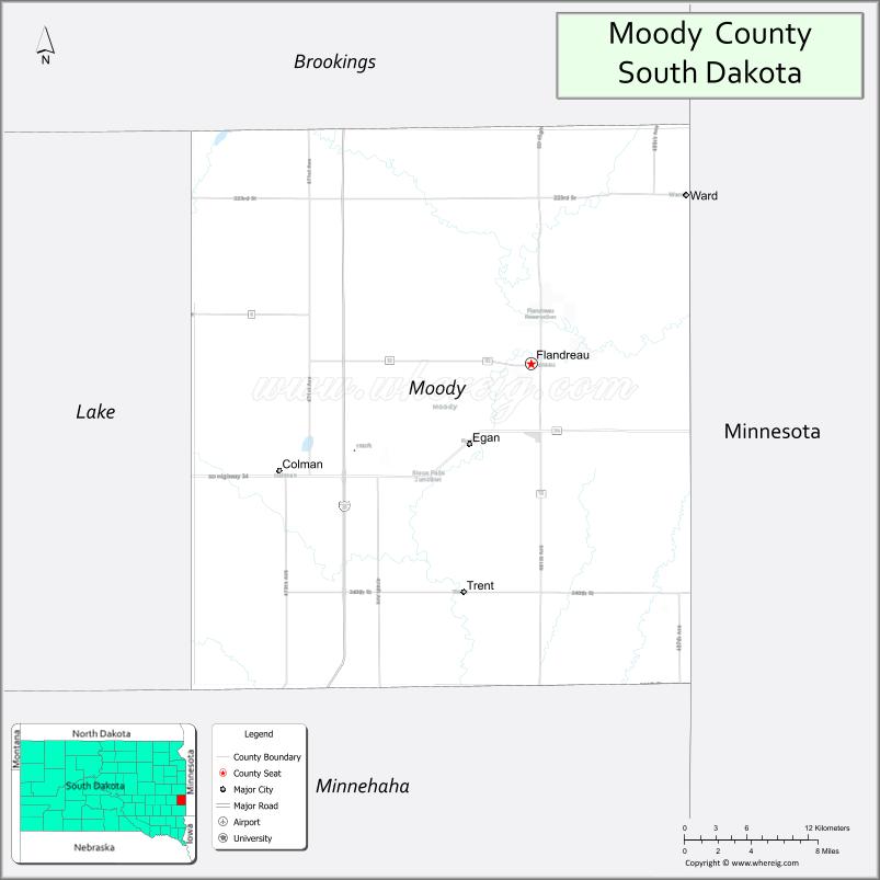
| Seat: | Flandreau |
| Largest city: | Flandreau |
| Total Area: | 521 sq mi (1,350 km²) |
| Land Area: | 519 sq mi (1,340 km²) |
| Total Population: | 6,336 |
| Population Density: | 12/sq mi (4.7/km²) |
| Time zone: | UTC−6 (Central) |
| Summer Time Zone (DST): | UTC−5 (CDT) |
| Website: | www.moodycounty.net |
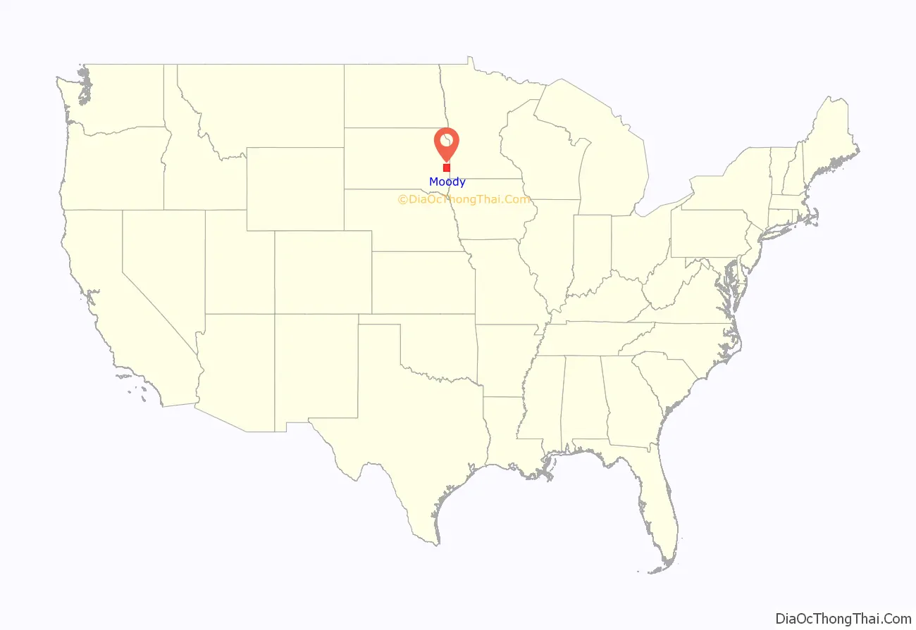
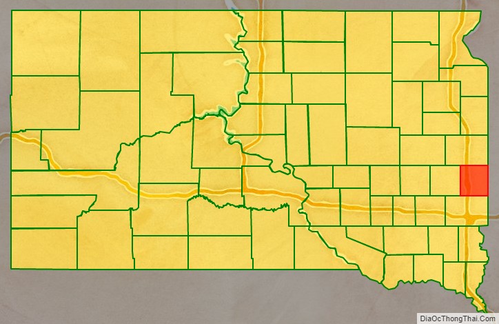
Moody County location map. Where is Moody County?
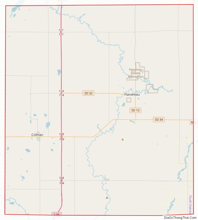
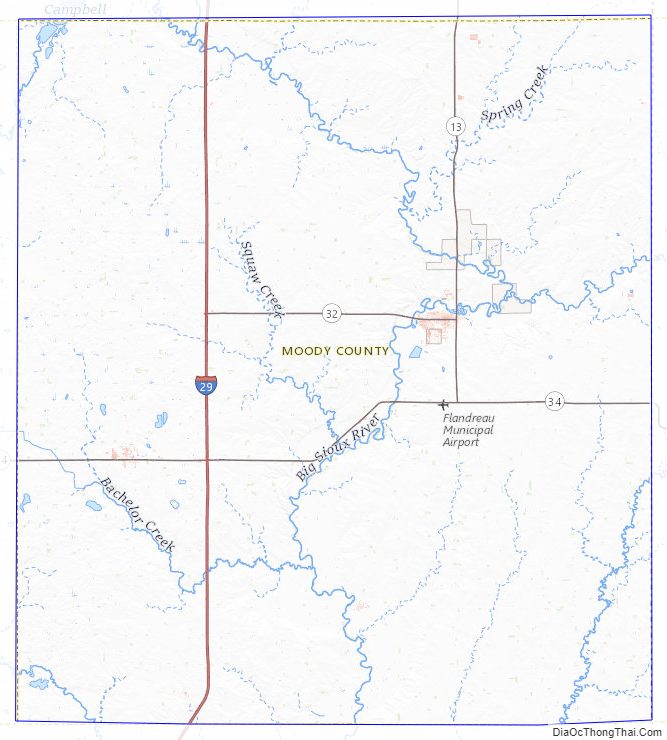
Moody County Road Map
Geography
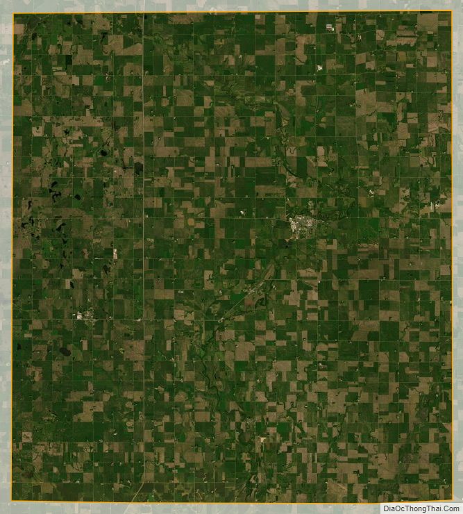
Moody County lies on the east side of South Dakota. Its east boundary line abuts the west boundary line of the state of Minnesota. The Big Sioux River flows southerly through the center of the county. Its terrain consists of rolling hills, devoted to agriculture, with lakes in the western portion. The terrain slopes to the south, with its high point near its northeast corner, at 1,749′ (533m) ASL, although the east and west sides also slope into the river valley through the center of the county. The county has a total area of 521 square miles (1,350 km), of which 519 square miles (1,340 km) is land and 1.4 square miles (3.6 km) (0.3%) is water.
Major highways
- Interstate 29
- South Dakota Highway 11
- South Dakota Highway 13
- South Dakota Highway 32
- South Dakota Highway 34
Adjacent counties
- Brookings County – north
- Lincoln County, Minnesota – northeast
- Pipestone County, Minnesota – east
- Rock County, Minnesota – southeast
- Minnehaha County – south
- Lake County – west
Lakes
- Anderson Slough
- Lake Campbell (part)
- Mud Lake
- Poison Lake
- Bull Slough
Protected areas
- Anderson Slough State Game Production Area
- Boles Slough State Game Production Area
- Gideon State Game Production Area
- Hazels Haven State Game Production Area
- Kamp State Game Production Area
- Olson Lake State Game Production Area
Moody County Topographic Map
Moody County Satellite Map
Moody County Outline Map

See also
Map of South Dakota State and its subdivision:- Aurora
- Beadle
- Bennett
- Bon Homme
- Brookings
- Brown
- Brule
- Buffalo
- Butte
- Campbell
- Charles Mix
- Clark
- Clay
- Codington
- Corson
- Custer
- Davison
- Day
- Deuel
- Dewey
- Douglas
- Edmunds
- Fall River
- Faulk
- Grant
- Gregory
- Haakon
- Hamlin
- Hand
- Hanson
- Harding
- Hughes
- Hutchinson
- Hyde
- Jackson
- Jerauld
- Jones
- Kingsbury
- Lake
- Lawrence
- Lincoln
- Lyman
- Marshall
- McCook
- McPherson
- Meade
- Mellette
- Miner
- Minnehaha
- Moody
- Pennington
- Perkins
- Potter
- Roberts
- Sanborn
- Shannon
- Spink
- Stanley
- Sully
- Todd
- Tripp
- Turner
- Union
- Walworth
- Yankton
- Ziebach
- Alabama
- Alaska
- Arizona
- Arkansas
- California
- Colorado
- Connecticut
- Delaware
- District of Columbia
- Florida
- Georgia
- Hawaii
- Idaho
- Illinois
- Indiana
- Iowa
- Kansas
- Kentucky
- Louisiana
- Maine
- Maryland
- Massachusetts
- Michigan
- Minnesota
- Mississippi
- Missouri
- Montana
- Nebraska
- Nevada
- New Hampshire
- New Jersey
- New Mexico
- New York
- North Carolina
- North Dakota
- Ohio
- Oklahoma
- Oregon
- Pennsylvania
- Rhode Island
- South Carolina
- South Dakota
- Tennessee
- Texas
- Utah
- Vermont
- Virginia
- Washington
- West Virginia
- Wisconsin
- Wyoming