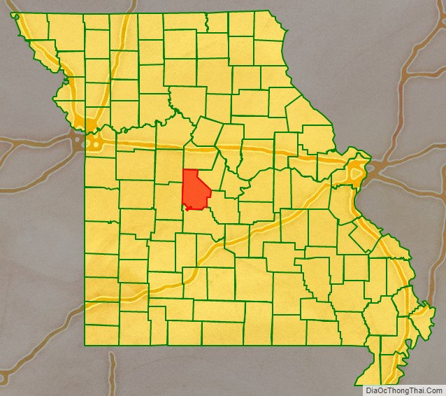
Morgan County is a county located in the central portion of the U.S. state of Missouri. As of the 2010 census, the population was 20,565. Its county seat is Versailles. The county was organized January 5, 1833 and named for General Daniel Morgan of the American Revolutionary War.
| Name: | Morgan County |
|---|---|
| FIPS code: | 29-141 |
| State: | Missouri |
| Founded: | January 5, 1833 |
| Named for: | Daniel Morgan |
| Seat: | Versailles |
| Largest city: | Versailles |
| Total Area: | 614 sq mi (1,590 km²) |
| Land Area: | 598 sq mi (1,550 km²) |
| Total Population: | 20,565 |
| Population Density: | 33/sq mi (13/km²) |
| Time zone: | UTC−6 (Central) |
| Summer Time Zone (DST): | UTC−5 (CDT) |
| Website: | www.morgan-county.org |
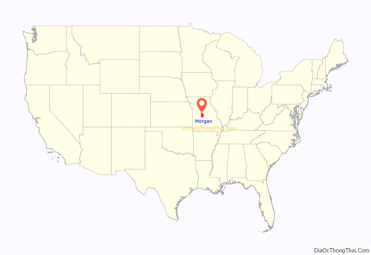
Morgan County location map. Where is Morgan County?
History
Morgan County was organized in 1833 upon separation from Cooper County. It is named in honor of Revolutionary War General Daniel Morgan. Versailles, with a name referring to the French royal estate near Paris, France, was designated as the county seat and platted in 1854.
Established in 1853 there, the Martin Hotel was visited in the post-Civil War period by both showman and circus entrepreneur P. T. Barnum and outlaw robber Jesse James. Listed on the National Register of Historic Places (NRHP) in 1978, it now operates as a museum. In 1858 the Mulhollen Station was a mail stop here for the newly established Butterfield Overland Mail stagecoach line, which carried goods and mail for several years to San Francisco, California.
The Morgan County Courthouse in Versailles, which has also been listed on the NRHP, was designed with French-style details, such as a mansard roof, in keeping with the origin of the town’s name. It burned in 1887. The majority of the records were rescued, and the courthouse was soon rebuilt and restored.
Coal mining was historically an important economic activity in Morgan County.
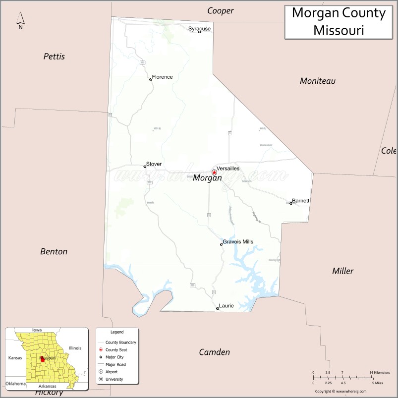
Morgan County Road Map
Geography
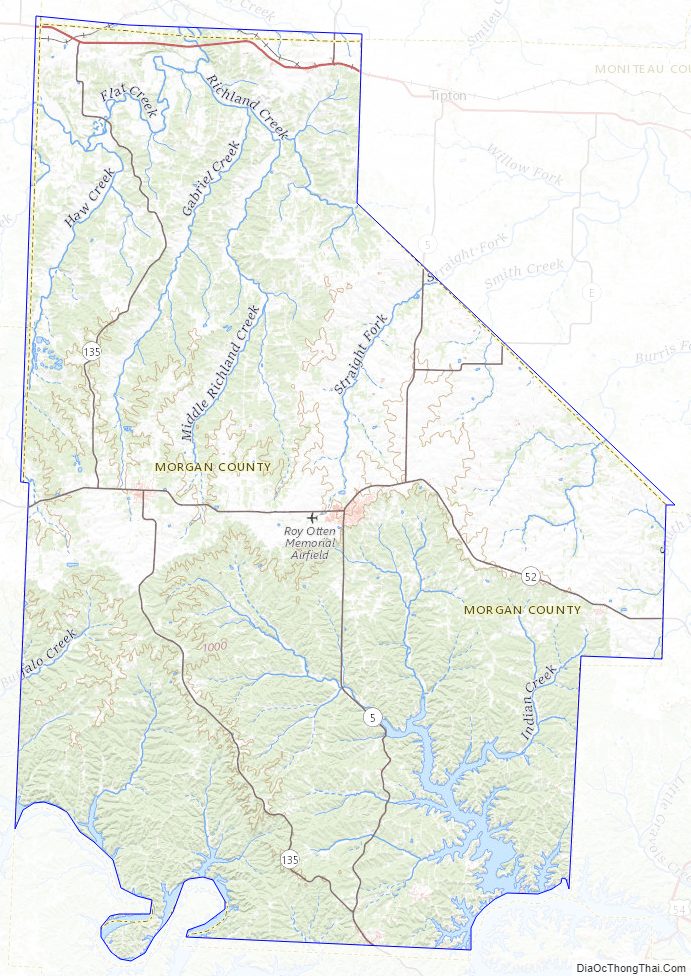
According to the U.S. Census Bureau, the county has a total area of 614 square miles (1,590 km), of which 598 square miles (1,550 km) is land and 16 square miles (41 km) (2.7%) is water.
Adjacent counties
- Cooper County (north)
- Moniteau County (northeast)
- Miller County (southeast)
- Camden County (south)
- Benton County (west)
- Pettis County (northwest)
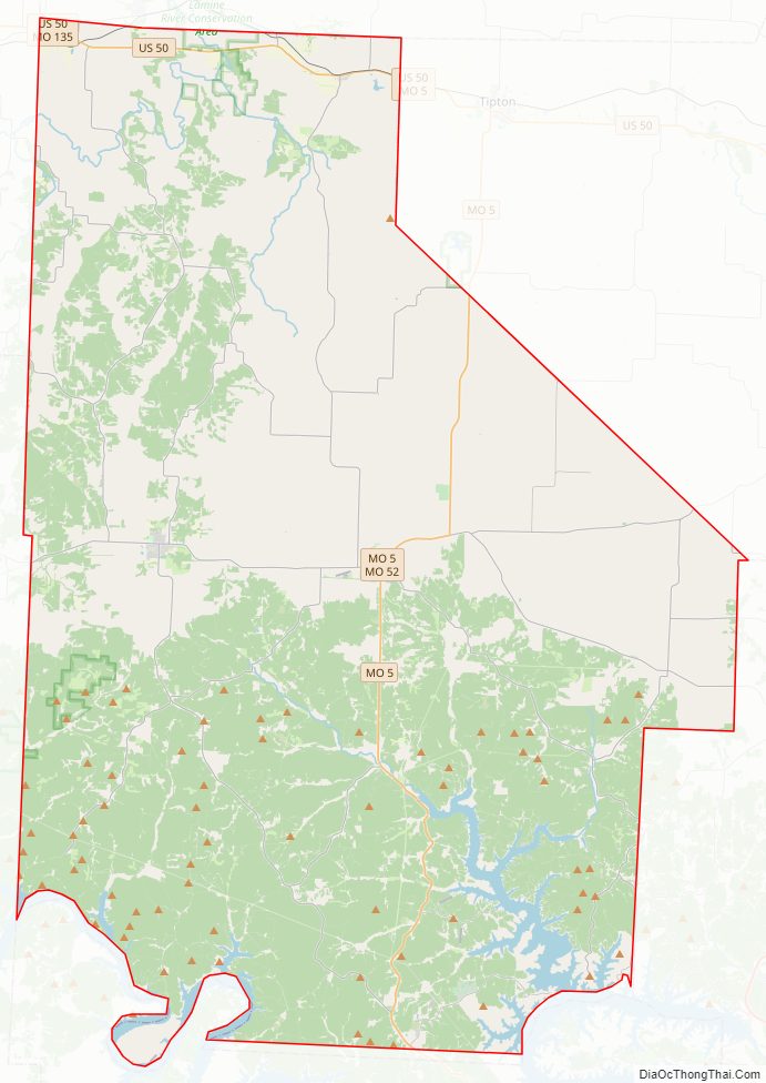
Major highways
- U.S. Route 50
- Route 5
- Route 52
- Route 135
Geographical features
- Brewner Hollow
- Sawmill Hollow
Morgan County Topographic Map
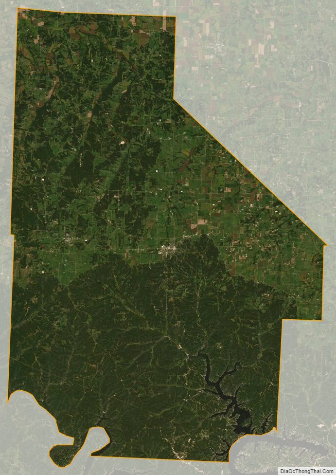
Morgan County Satellite Map
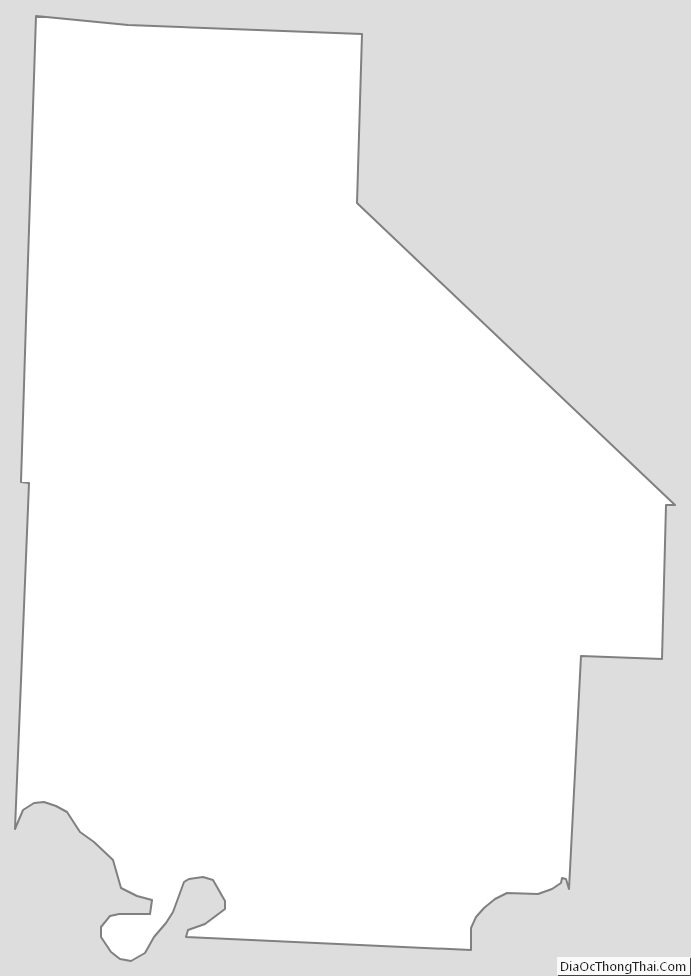
Morgan County Outline Map
See also
Map of Missouri State and its subdivision:- Adair
- Andrew
- Atchison
- Audrain
- Barry
- Barton
- Bates
- Benton
- Bollinger
- Boone
- Buchanan
- Butler
- Caldwell
- Callaway
- Camden
- Cape Girardeau
- Carroll
- Carter
- Cass
- Cedar
- Chariton
- Christian
- Clark
- Clay
- Clinton
- Cole
- Cooper
- Crawford
- Dade
- Dallas
- Daviess
- De Kalb
- Dent
- Douglas
- Dunklin
- Franklin
- Gasconade
- Gentry
- Greene
- Grundy
- Harrison
- Henry
- Hickory
- Holt
- Howard
- Howell
- Iron
- Jackson
- Jasper
- Jefferson
- Johnson
- Knox
- Laclede
- Lafayette
- Lawrence
- Lewis
- Lincoln
- Linn
- Livingston
- Macon
- Madison
- Maries
- Marion
- McDonald
- Mercer
- Miller
- Mississippi
- Moniteau
- Monroe
- Montgomery
- Morgan
- New Madrid
- Newton
- Nodaway
- Oregon
- Osage
- Ozark
- Pemiscot
- Perry
- Pettis
- Phelps
- Pike
- Platte
- Polk
- Pulaski
- Putnam
- Ralls
- Randolph
- Ray
- Reynolds
- Ripley
- Saint Charles
- Saint Clair
- Saint Francois
- Saint Louis
- Sainte Genevieve
- Saline
- Schuyler
- Scotland
- Scott
- Shannon
- Shelby
- Stoddard
- Stone
- Sullivan
- Taney
- Texas
- Vernon
- Warren
- Washington
- Wayne
- Webster
- Worth
- Wright
- Alabama
- Alaska
- Arizona
- Arkansas
- California
- Colorado
- Connecticut
- Delaware
- District of Columbia
- Florida
- Georgia
- Hawaii
- Idaho
- Illinois
- Indiana
- Iowa
- Kansas
- Kentucky
- Louisiana
- Maine
- Maryland
- Massachusetts
- Michigan
- Minnesota
- Mississippi
- Missouri
- Montana
- Nebraska
- Nevada
- New Hampshire
- New Jersey
- New Mexico
- New York
- North Carolina
- North Dakota
- Ohio
- Oklahoma
- Oregon
- Pennsylvania
- Rhode Island
- South Carolina
- South Dakota
- Tennessee
- Texas
- Utah
- Vermont
- Virginia
- Washington
- West Virginia
- Wisconsin
- Wyoming