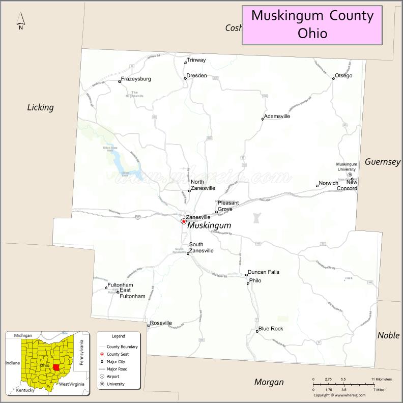
Muskingum County is a county located in the U.S. state of Ohio. As of the 2020 census, the population was 86,410. Its county seat is Zanesville. Nearly bisected by the Muskingum River, the county name is based on a Delaware American Indian word translated as “town by the river” or “elk’s eye”.
Muskingum County comprises the Zanesville, OH Micropolitan Statistical Area, which is also included in the Columbus-Marion-Zanesville, OH Combined Statistical Area. The Zanesville Micropolitan Statistical Area is the second-largest statistical area within the Combined Statistical Area, after the Columbus Metropolitan Statistical Area.
| Name: | Muskingum County |
|---|---|
| FIPS code: | 39-119 |
| State: | Ohio |
| Founded: | March 1, 1804 |
| Named for: | A Native American word meaning “swampy ground” |
| Seat: | Zanesville |
| Largest city: | Zanesville |
| Total Area: | 673 sq mi (1,740 km²) |
| Land Area: | 665 sq mi (1,720 km²) |
| Total Population: | 86,410 |
| Population Density: | 130/sq mi (50/km²) |
| Time zone: | UTC−5 (Eastern) |
| Summer Time Zone (DST): | UTC−4 (EDT) |
| Website: | www.muskingumcounty.org |
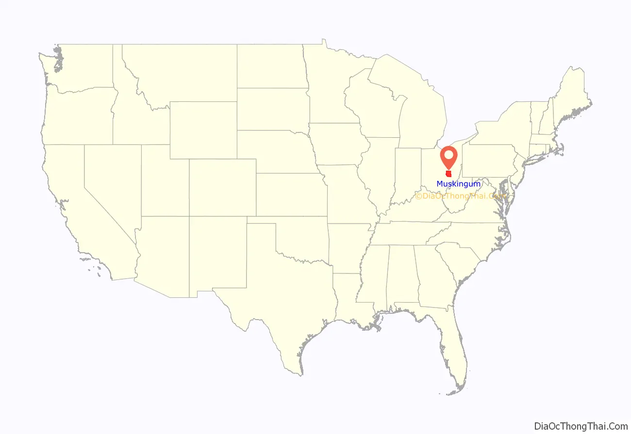
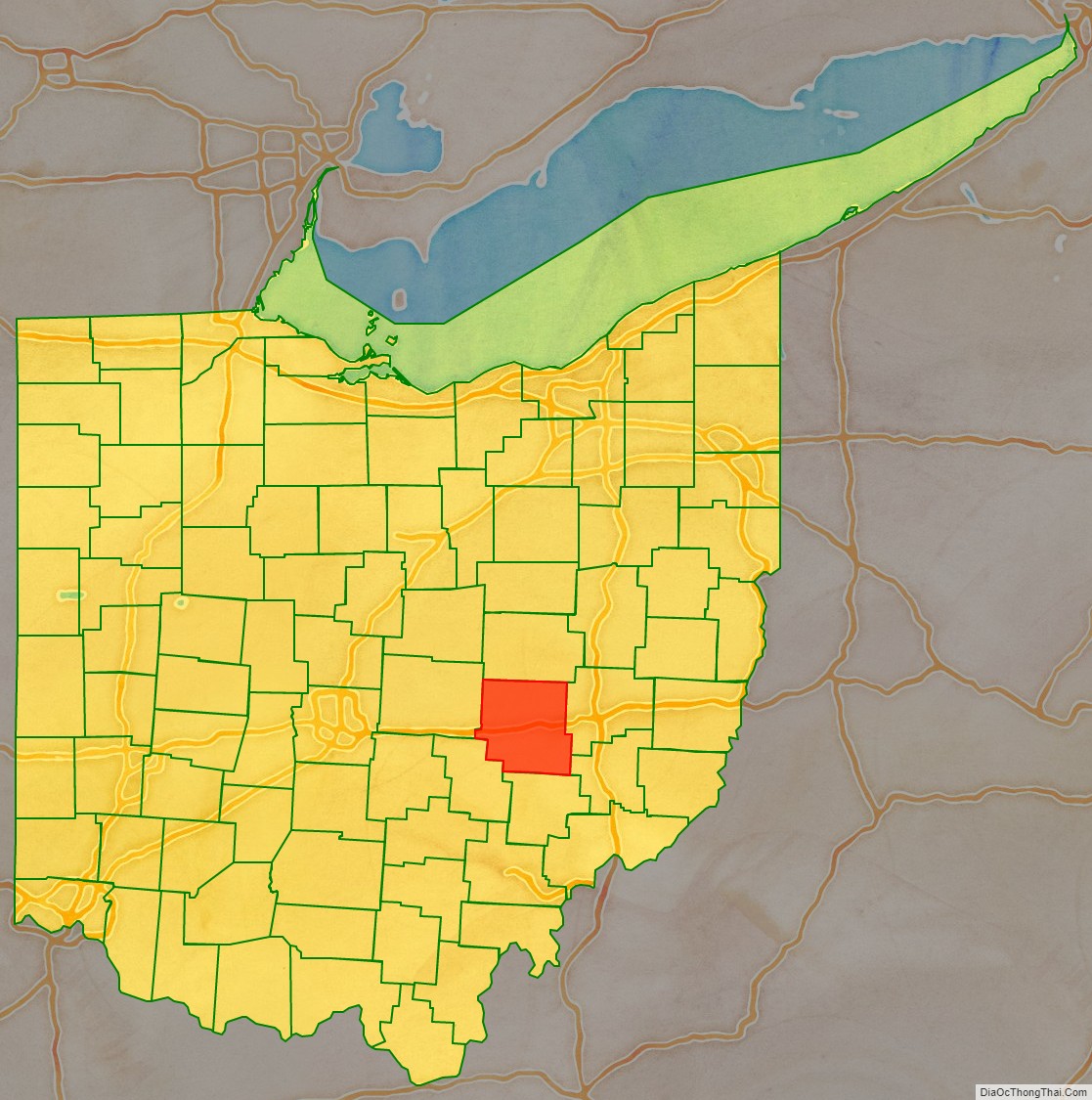
Muskingum County location map. Where is Muskingum County?
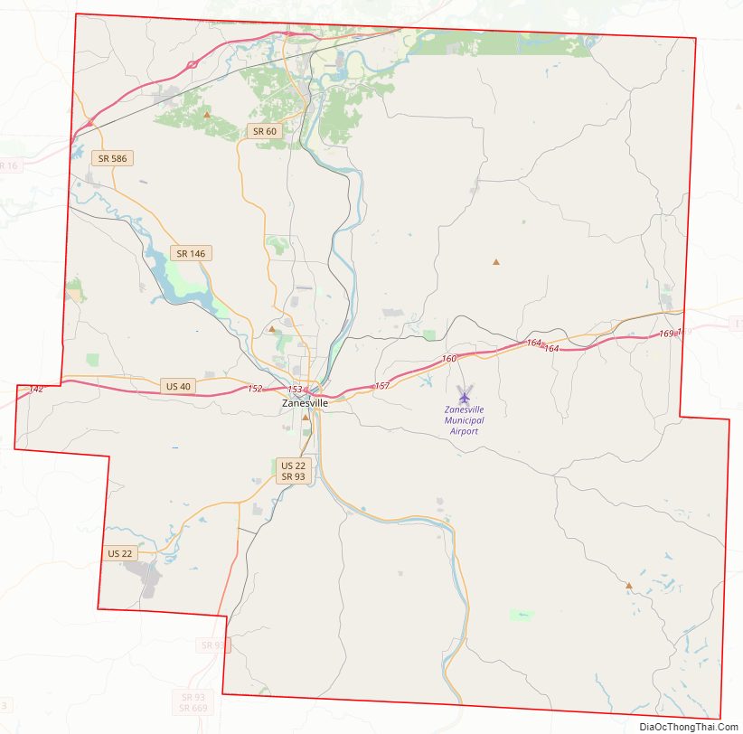
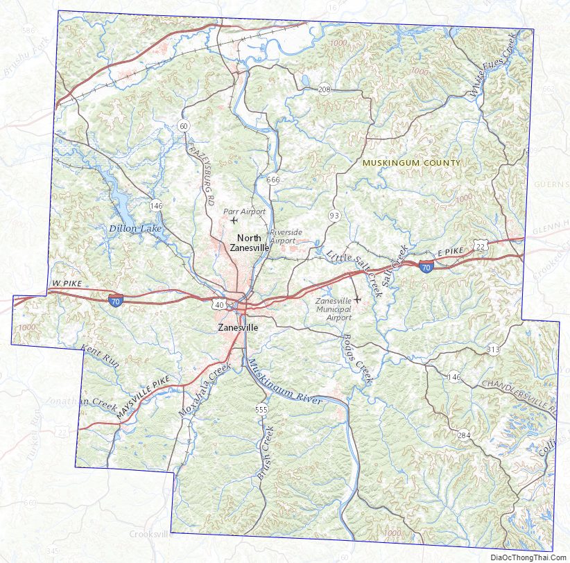
Muskingum County Road Map
Geography
According to the U.S. Census Bureau, the county has a total area of 673 square miles (1,740 km), of which 665 square miles (1,720 km) is land and 8.0 square miles (21 km) (1.2%) is water. It is the fourth-largest county in Ohio by land area.
Adjacent counties
- Coshocton County (north)
- Guernsey County (east)
- Noble County (southeast)
- Morgan County (south)
- Perry County (southwest)
- Licking County (west)
Muskingum County Topographic Map
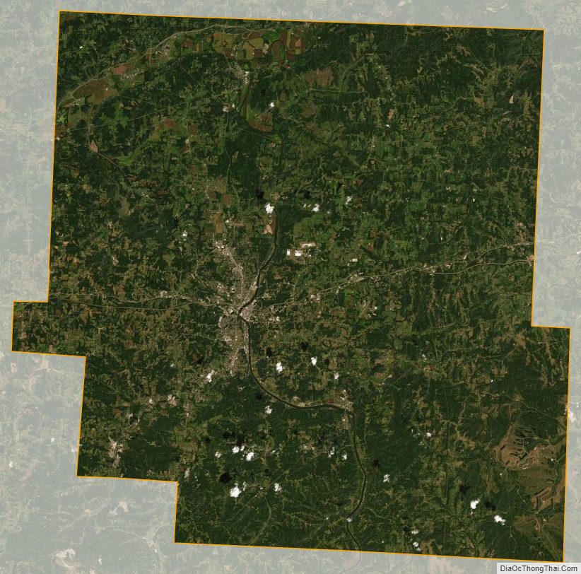
Muskingum County Satellite Map
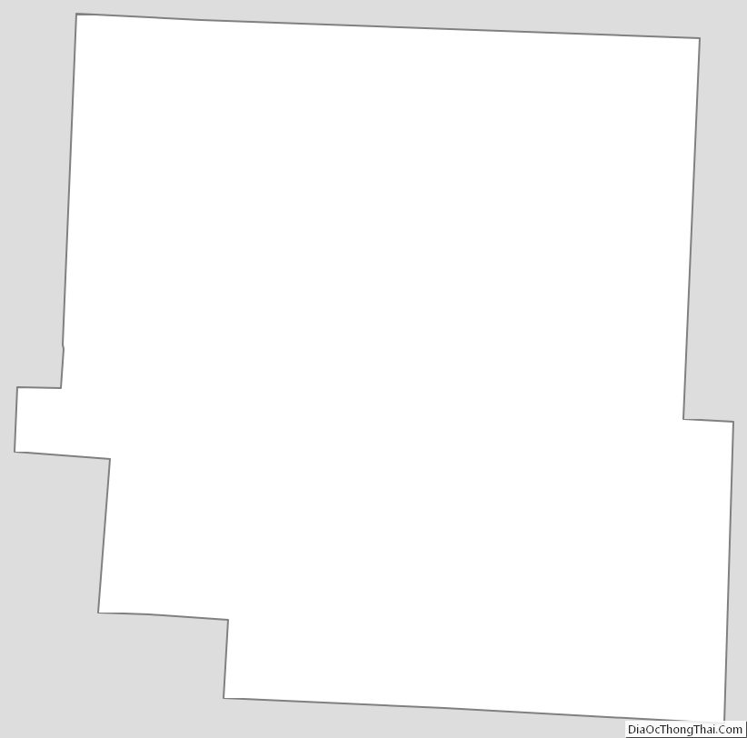
Muskingum County Outline Map
See also
Map of Ohio State and its subdivision:- Adams
- Allen
- Ashland
- Ashtabula
- Athens
- Auglaize
- Belmont
- Brown
- Butler
- Carroll
- Champaign
- Clark
- Clermont
- Clinton
- Columbiana
- Coshocton
- Crawford
- Cuyahoga
- Darke
- Defiance
- Delaware
- Erie
- Fairfield
- Fayette
- Franklin
- Fulton
- Gallia
- Geauga
- Greene
- Guernsey
- Hamilton
- Hancock
- Hardin
- Harrison
- Henry
- Highland
- Hocking
- Holmes
- Huron
- Jackson
- Jefferson
- Knox
- Lake
- Lake Erie
- Lawrence
- Licking
- Logan
- Lorain
- Lucas
- Madison
- Mahoning
- Marion
- Medina
- Meigs
- Mercer
- Miami
- Monroe
- Montgomery
- Morgan
- Morrow
- Muskingum
- Noble
- Ottawa
- Paulding
- Perry
- Pickaway
- Pike
- Portage
- Preble
- Putnam
- Richland
- Ross
- Sandusky
- Scioto
- Seneca
- Shelby
- Stark
- Summit
- Trumbull
- Tuscarawas
- Union
- Van Wert
- Vinton
- Warren
- Washington
- Wayne
- Williams
- Wood
- Wyandot
- Alabama
- Alaska
- Arizona
- Arkansas
- California
- Colorado
- Connecticut
- Delaware
- District of Columbia
- Florida
- Georgia
- Hawaii
- Idaho
- Illinois
- Indiana
- Iowa
- Kansas
- Kentucky
- Louisiana
- Maine
- Maryland
- Massachusetts
- Michigan
- Minnesota
- Mississippi
- Missouri
- Montana
- Nebraska
- Nevada
- New Hampshire
- New Jersey
- New Mexico
- New York
- North Carolina
- North Dakota
- Ohio
- Oklahoma
- Oregon
- Pennsylvania
- Rhode Island
- South Carolina
- South Dakota
- Tennessee
- Texas
- Utah
- Vermont
- Virginia
- Washington
- West Virginia
- Wisconsin
- Wyoming