Nance County is a county in the U.S. state of Nebraska. As of the 2010 census, the population was 3,735. Its county seat is Fullerton.
In the Nebraska license plate system, Nance County is represented by the prefix 58 (it had the fifty-eighth-largest number of vehicles registered in the county when the license plate system was established in 1922).
| Name: | Nance County |
|---|---|
| FIPS code: | 31-125 |
| State: | Nebraska |
| Founded: | 1879 |
| Named for: | Albinus Nance |
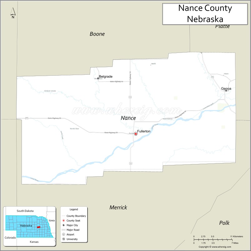
| Seat: | Fullerton |
| Largest city: | Fullerton |
| Total Area: | 448 sq mi (1,160 km²) |
| Land Area: | 442 sq mi (1,140 km²) |
| Total Population: | 3,390 |
| Population Density: | 8.15/sq mi (3.15/km²) |
| Time zone: | UTC−6 (Central) |
| Summer Time Zone (DST): | UTC−5 (CDT) |
| Website: | www.co.nance.ne.us |
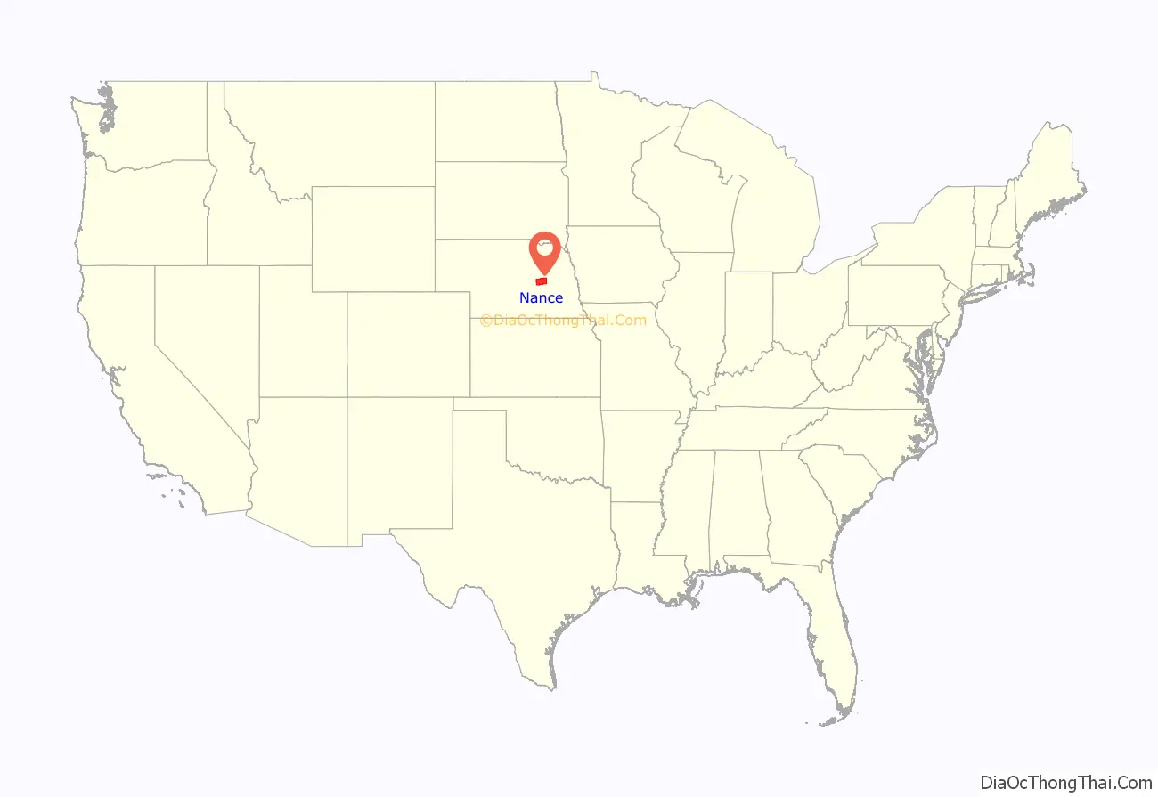
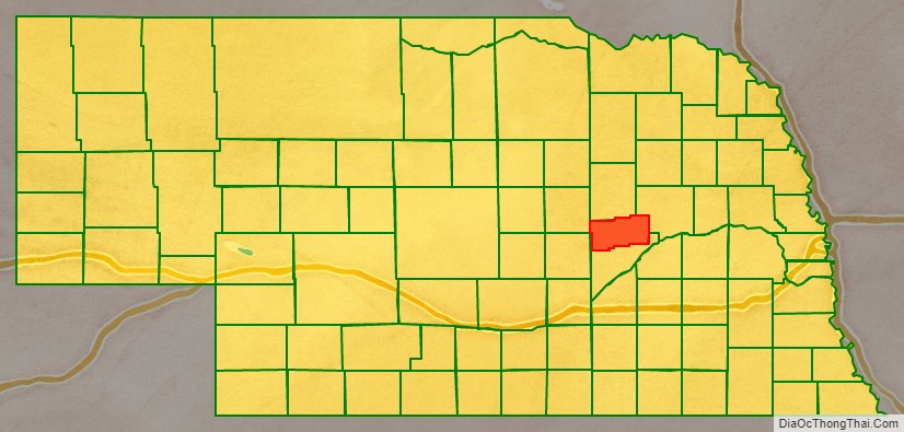
Nance County location map. Where is Nance County?
History
The land that comprises Nance County was originally part of the Pawnee Reservation, created in 1857 when the Pawnee Indians signed a treaty with the United States ceding its lands in exchange for the reservation. After Nebraska gained statehood in March 1867, the state government extinguished the tribe’s rights to their land, sold the land and used the proceeds to defray expenses to obtain lands elsewhere for the Indians. In the mid-1870s the remainder of the reservation was sold, and in 1876 the tribe was relocated to its present-day location in central Oklahoma. The boundaries for Nance County were approved in 1879. It was named for Governor Albinus Nance.
Nearly all the land in Nance County was purchased by settlers or by investors for resale, instead of the homestead provisions common to most of Nebraska.
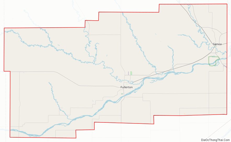
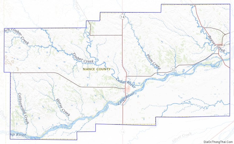
Nance County Road Map
Geography
The terrain of Nance County consists of rolling hills, sloping to the northeast. The Loup River flows east-northeastward through the central part of the county. The Cedar River flows southeastward to discharge into the Loup River near Fullerton. The county has a total area of 448 square miles (1,160 km), of which 442 square miles (1,140 km) is land and 6.6 square miles (17 km) (1.5%) is water.
Major highways
- Nebraska Highway 14
- Nebraska Highway 22
- Nebraska Highway 39
- Nebraska Highway 52
Adjacent counties
- Platte County (northeast)
- Merrick County (south)
- Greeley County (west)
- Boone County (north)
Nance County Topographic Map
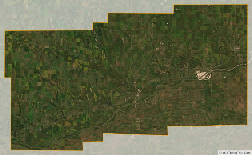
Nance County Satellite Map
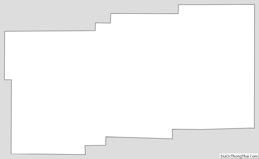
Nance County Outline Map
See also
Map of Nebraska State and its subdivision:- Adams
- Antelope
- Arthur
- Banner
- Blaine
- Boone
- Box Butte
- Boyd
- Brown
- Buffalo
- Burt
- Butler
- Cass
- Cedar
- Chase
- Cherry
- Cheyenne
- Clay
- Colfax
- Cuming
- Custer
- Dakota
- Dawes
- Dawson
- Deuel
- Dixon
- Dodge
- Douglas
- Dundy
- Fillmore
- Franklin
- Frontier
- Furnas
- Gage
- Garden
- Garfield
- Gosper
- Grant
- Greeley
- Hall
- Hamilton
- Harlan
- Hayes
- Hitchcock
- Holt
- Hooker
- Howard
- Jefferson
- Johnson
- Kearney
- Keith
- Keya Paha
- Kimball
- Knox
- Lancaster
- Lincoln
- Logan
- Loup
- Madison
- McPherson
- Merrick
- Morrill
- Nance
- Nemaha
- Nuckolls
- Otoe
- Pawnee
- Perkins
- Phelps
- Pierce
- Platte
- Polk
- Red Willow
- Richardson
- Rock
- Saline
- Sarpy
- Saunders
- Scotts Bluff
- Seward
- Sheridan
- Sherman
- Sioux
- Stanton
- Thayer
- Thomas
- Thurston
- Valley
- Washington
- Wayne
- Webster
- Wheeler
- York
- Alabama
- Alaska
- Arizona
- Arkansas
- California
- Colorado
- Connecticut
- Delaware
- District of Columbia
- Florida
- Georgia
- Hawaii
- Idaho
- Illinois
- Indiana
- Iowa
- Kansas
- Kentucky
- Louisiana
- Maine
- Maryland
- Massachusetts
- Michigan
- Minnesota
- Mississippi
- Missouri
- Montana
- Nebraska
- Nevada
- New Hampshire
- New Jersey
- New Mexico
- New York
- North Carolina
- North Dakota
- Ohio
- Oklahoma
- Oregon
- Pennsylvania
- Rhode Island
- South Carolina
- South Dakota
- Tennessee
- Texas
- Utah
- Vermont
- Virginia
- Washington
- West Virginia
- Wisconsin
- Wyoming