Nicollet County is a county in the U.S. state of Minnesota. As of the 2020 census, the population was 34,454. Its county seat is St. Peter.
Nicollet County is part of the Mankato–North Mankato, MN Metropolitan Statistical Area.
| Name: | Nicollet County |
|---|---|
| FIPS code: | 27-103 |
| State: | Minnesota |
| Founded: | March 5, 1853 |
| Named for: | Joseph Nicolas Nicollet |
| Seat: | St. Peter |
| Largest city: | North Mankato |
| Total Area: | 467 sq mi (1,210 km²) |
| Land Area: | 448 sq mi (1,160 km²) |
| Total Population: | 34,454 |
| Population Density: | 76.9/sq mi (29.7/km²) |
| Time zone: | UTC−6 (Central) |
| Summer Time Zone (DST): | UTC−5 (CDT) |
| Website: | www.co.nicollet.mn.us |
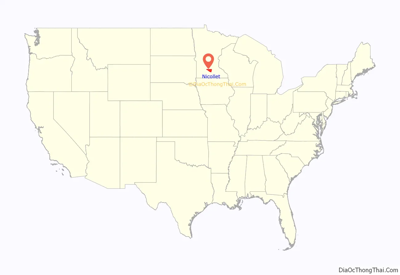
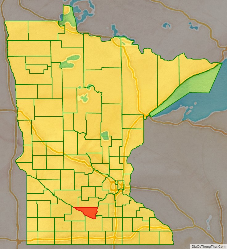
Nicollet County location map. Where is Nicollet County?
History
In 1849 the Minnesota Territory legislature defined the boundaries of nine future counties. One of those, Dakota, contained the area north of the Minnesota River where it altered its flow from southeast to northeast. In 1853 the first settler had homesteaded an area on the northeast run of the river, and the following year the settlement of Saint Peter was platted there. Seeing the inflow of settlers into the areas adjoining the river, on March 5, 1853, the territorial legislature partitioned off the lower portion of Dakota County to form a separate entity. It was named for Joseph Nicolas Nicollet (1786-1843), a French explorer whose maps of the area had been instrumental in the territory’s development. The county seat was established at Saint Peter.
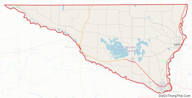
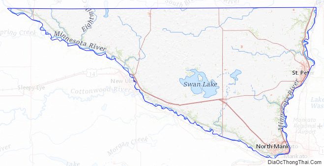
Nicollet County Road Map
Geography
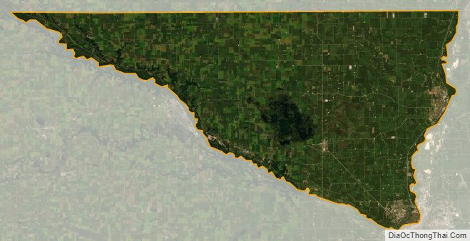
The Minnesota River flows eastward along the southern border of Nicollet County, from its northwestern corner to its northeastern corner, defining the county’s southern line. The county terrain consists of low rolling hills, completely devoted to agriculture where possible. The terrain slopes to the east. The county has an area of 467 square miles (1,210 km), of which 448 square miles (1,160 km) is land and 18 square miles (47 km) (3.9%) is water.
Nicollet County’s highest point is the lowest high point of all Minnesota counties, with an elevation of 1,065 feet. The county’s high point is east of Clear Lake and west of the town of Lafayette.
Major highways
- US Highway 14
- US Highway 169
- Minnesota State Highway 4
- Minnesota State Highway 15
- Minnesota State Highway 22
- Minnesota State Highway 60
- Minnesota State Highway 99
- Minnesota State Highway 111
- List of county roads
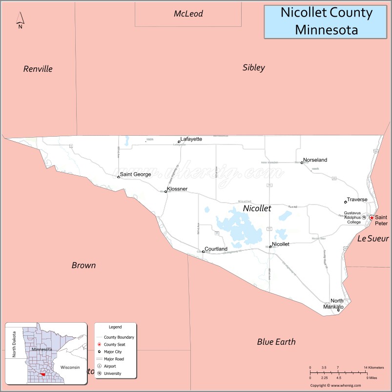
Adjacent counties
- Sibley County – north
- Le Sueur County – east
- Blue Earth County – (southeast)
- Brown County – southwest
- Renville County – northwest
Protected areas
- Fort Ridgely State Park (part)
- Minneopa State Park (part)
- Seven Mile Creek County Park
Lakes
- Annexstad Lake
- Erickson Lake
- Middle Lake
- Oak Leaf Lake
- Overson Lake
- Rice Lake
- Sand Lake
- Swan Lake
Nicollet County Topographic Map
Nicollet County Satellite Map
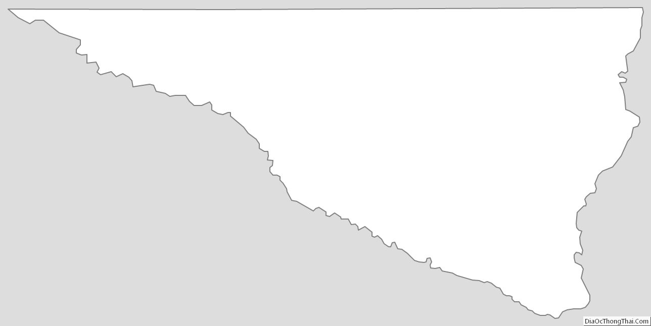
Nicollet County Outline Map
See also
Map of Minnesota State and its subdivision:- Aitkin
- Anoka
- Becker
- Beltrami
- Benton
- Big Stone
- Blue Earth
- Brown
- Carlton
- Carver
- Cass
- Chippewa
- Chisago
- Clay
- Clearwater
- Cook
- Cottonwood
- Crow Wing
- Dakota
- Dodge
- Douglas
- Faribault
- Fillmore
- Freeborn
- Goodhue
- Grant
- Hennepin
- Houston
- Hubbard
- Isanti
- Itasca
- Jackson
- Kanabec
- Kandiyohi
- Kittson
- Koochiching
- Lac qui Parle
- Lake
- Lake of the Woods
- Lake Superior
- Le Sueur
- Lincoln
- Lyon
- Mahnomen
- Marshall
- Martin
- McLeod
- Meeker
- Mille Lacs
- Morrison
- Mower
- Murray
- Nicollet
- Nobles
- Norman
- Olmsted
- Otter Tail
- Pennington
- Pine
- Pipestone
- Polk
- Pope
- Ramsey
- Red Lake
- Redwood
- Renville
- Rice
- Rock
- Roseau
- Saint Louis
- Scott
- Sherburne
- Sibley
- Stearns
- Steele
- Stevens
- Swift
- Todd
- Traverse
- Wabasha
- Wadena
- Waseca
- Washington
- Watonwan
- Wilkin
- Winona
- Wright
- Yellow Medicine
- Alabama
- Alaska
- Arizona
- Arkansas
- California
- Colorado
- Connecticut
- Delaware
- District of Columbia
- Florida
- Georgia
- Hawaii
- Idaho
- Illinois
- Indiana
- Iowa
- Kansas
- Kentucky
- Louisiana
- Maine
- Maryland
- Massachusetts
- Michigan
- Minnesota
- Mississippi
- Missouri
- Montana
- Nebraska
- Nevada
- New Hampshire
- New Jersey
- New Mexico
- New York
- North Carolina
- North Dakota
- Ohio
- Oklahoma
- Oregon
- Pennsylvania
- Rhode Island
- South Carolina
- South Dakota
- Tennessee
- Texas
- Utah
- Vermont
- Virginia
- Washington
- West Virginia
- Wisconsin
- Wyoming