Ogemaw County (/ˈoʊɡəmɔː/ OH-gə-maw) is a county located in the U.S. state of Michigan. As of the 2020 Census, the population was 20,770. The county seat is West Branch.
The county newspaper of record is the Ogemaw Herald.
| Name: | Ogemaw County |
|---|---|
| FIPS code: | 26-129 |
| State: | Michigan |
| Founded: | 1840 |
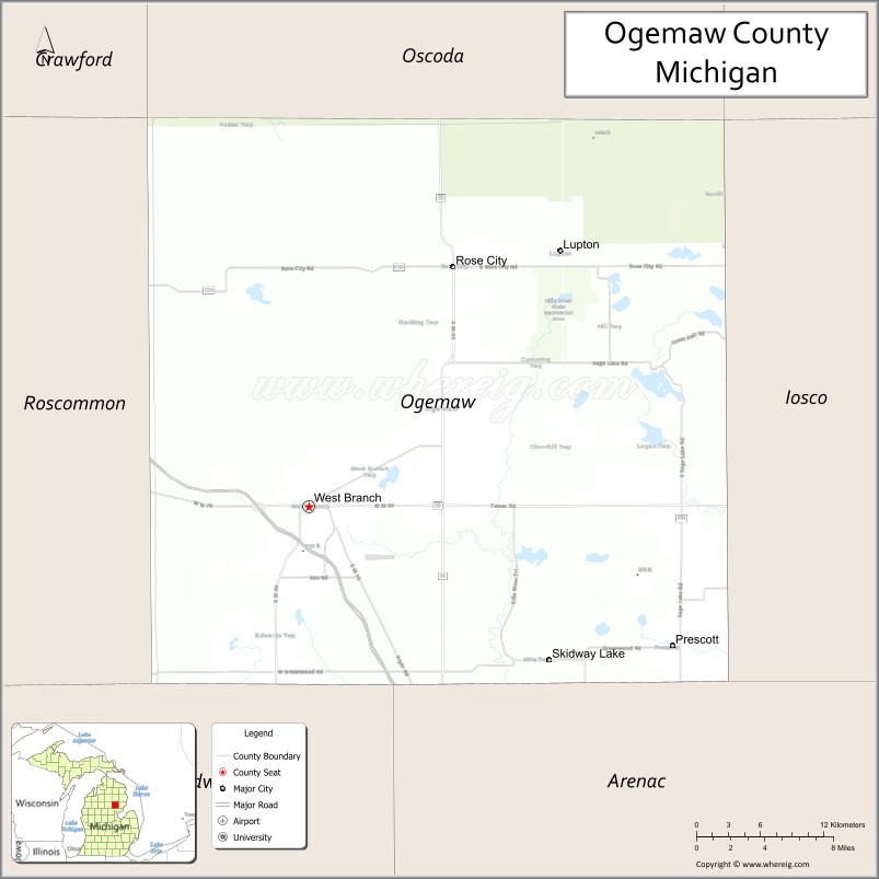
| Seat: | West Branch |
| Largest city: | Skidway Lake West Branch (incorporated) |
| Total Area: | 575 sq mi (1,490 km²) |
| Land Area: | 563 sq mi (1,460 km²) |
| Total Population: | 20,770 |
| Population Density: | 39/sq mi (15/km²) |
| Time zone: | UTC−5 (Eastern) |
| Summer Time Zone (DST): | UTC−4 (EDT) |
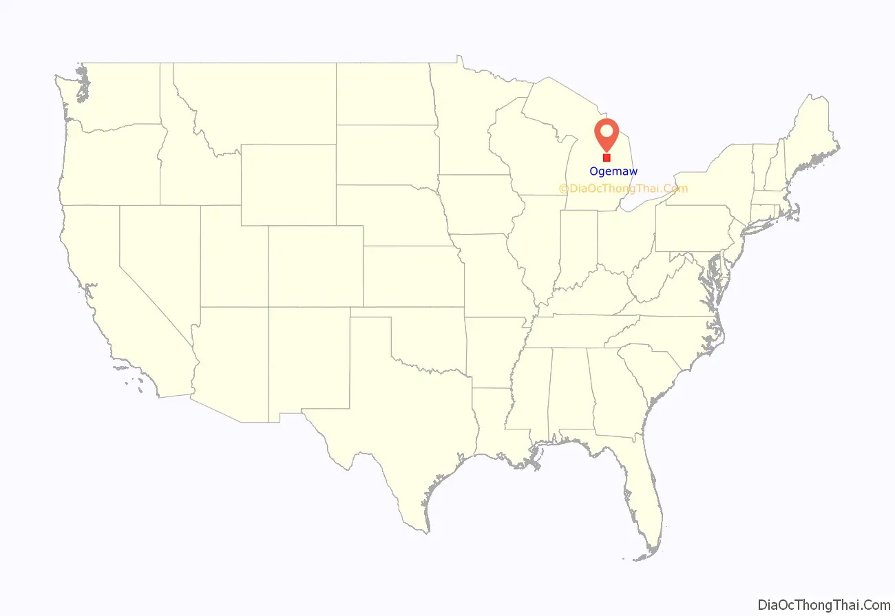
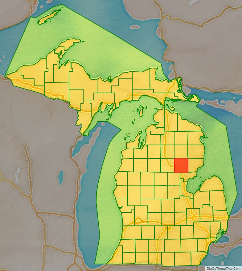
Ogemaw County location map. Where is Ogemaw County?
History
Ogemaw County started as part of the Virginia Land owned by England. After the Revolutionary War, it broke up into smaller and smaller pieces. The county was originally created by the Michigan Legislature in 1840 from unorganized territory, but was absorbed into Iosco County in 1867. It was re-created in 1873, and was finally organized in 1875. The county’s name is an Anglicization of the Anishinaabemowin word ogimaa, meaning “chief”. Ogemaw’s name came from an eloquent, respected Native American orator named Little Elk. One of the first settlements in the county was Ogemaw Springs, the genesis of lumbering operations in the county. The settlement of Ogemaw Springs ended when the lumber industry in the region ended. (Due to the lumber industry, railways were built to transport the lumber, and towns often sprang up along the tracks. After timber supplies in the Midwest dwindled, loggers shifted westward to the Pacific Northwest to find new sources of lumber, and many of these fledgling settlements foundered.) With Ogemaw Springs in decline, the people flocked to West Branch, causing an economic boom, including the construction of its first hotel. This created even more growth, causing many restaurants, hotels, and businesses to be built, a vast majority of which still stand today.
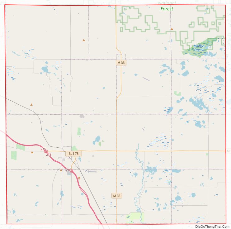
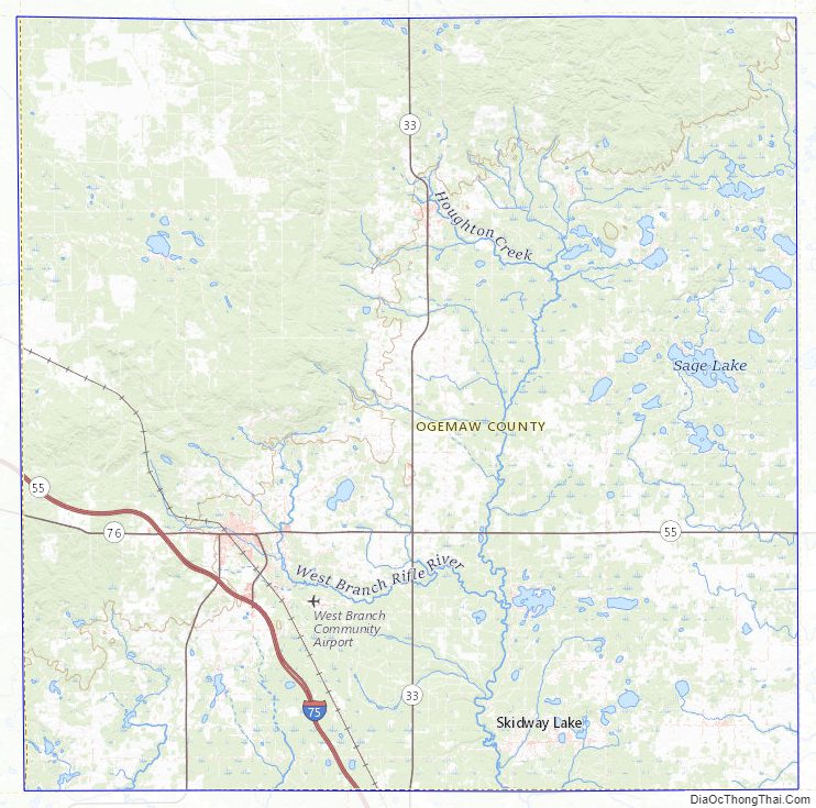
Ogemaw County Road Map
Geography
According to the U.S. Census Bureau, the county has a total area of 575 square miles (1,490 km), of which 563 square miles (1,460 km) is land and 11 square miles (28 km) (2.0%) is water. Ogemaw County is considered to be part of Northern Michigan.
Highways
- I-75 – Runs SE across the southwest part of the county; passes south of West Branch.
- M-30 – Enters from Gladwin County at 5.5 miles (8.8 km) east of the SW corner of Ogemaw County; runs north and NE to intersection with M-55 near West Branch.
- M-33 – Runs north–south through the middle of county; passes Rose City.
- M-55 – Runs east–west across the lower part of county; enters from Iosco County at 6 miles (9.6 km) north of SE corner of Ogemaw County; runs west to intersection with I-75, west of West Branch.
Adjacent counties
- Oscoda County – north
- Alcona County – northeast
- Iosco County – east
- Arenac County – southeast
- Gladwin County – southwest
- Roscommon County – west
- Crawford County – northwest
National protected area
- Huron National Forest (part)
State protected area
- Au Sable State Forest (part)
- Rifle River State Recreation Area
Ogemaw County Topographic Map
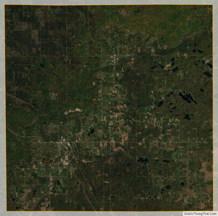
Ogemaw County Satellite Map
Ogemaw County Outline Map

See also
Map of Michigan State and its subdivision:- Alcona
- Alger
- Allegan
- Alpena
- Antrim
- Arenac
- Baraga
- Barry
- Bay
- Benzie
- Berrien
- Branch
- Calhoun
- Cass
- Charlevoix
- Cheboygan
- Chippewa
- Clare
- Clinton
- Crawford
- Delta
- Dickinson
- Eaton
- Emmet
- Genesee
- Gladwin
- Gogebic
- Grand Traverse
- Gratiot
- Hillsdale
- Houghton
- Huron
- Ingham
- Ionia
- Iosco
- Iron
- Isabella
- Jackson
- Kalamazoo
- Kalkaska
- Kent
- Keweenaw
- Lake
- Lake Hurron
- Lake Michigan
- Lake St. Clair
- Lake Superior
- Lapeer
- Leelanau
- Lenawee
- Livingston
- Luce
- Mackinac
- Macomb
- Manistee
- Marquette
- Mason
- Mecosta
- Menominee
- Midland
- Missaukee
- Monroe
- Montcalm
- Montmorency
- Muskegon
- Newaygo
- Oakland
- Oceana
- Ogemaw
- Ontonagon
- Osceola
- Oscoda
- Otsego
- Ottawa
- Presque Isle
- Roscommon
- Saginaw
- Saint Clair
- Saint Joseph
- Sanilac
- Schoolcraft
- Shiawassee
- Tuscola
- Van Buren
- Washtenaw
- Wayne
- Wexford
- Alabama
- Alaska
- Arizona
- Arkansas
- California
- Colorado
- Connecticut
- Delaware
- District of Columbia
- Florida
- Georgia
- Hawaii
- Idaho
- Illinois
- Indiana
- Iowa
- Kansas
- Kentucky
- Louisiana
- Maine
- Maryland
- Massachusetts
- Michigan
- Minnesota
- Mississippi
- Missouri
- Montana
- Nebraska
- Nevada
- New Hampshire
- New Jersey
- New Mexico
- New York
- North Carolina
- North Dakota
- Ohio
- Oklahoma
- Oregon
- Pennsylvania
- Rhode Island
- South Carolina
- South Dakota
- Tennessee
- Texas
- Utah
- Vermont
- Virginia
- Washington
- West Virginia
- Wisconsin
- Wyoming