Okmulgee County is a county in the U.S. state of Oklahoma. As of the 2010 census, the population was 40,069. The county seat is Okmulgee. Located within the Muscogee Nation Reservation, the county was created at statehood in 1907. The name Okmulgee is derived from the Hitichita (Lower Creek) word okimulgi, meaning “boiling waters”.
Okmulgee County is included in the Tulsa, OK Metropolitan Statistical Area.
| Name: | Okmulgee County |
|---|---|
| FIPS code: | 40-111 |
| State: | Oklahoma |
| Founded: | 1907 |
| Seat: | Okmulgee |
| Largest city: | Okmulgee |
| Total Area: | 702 sq mi (1,820 km²) |
| Land Area: | 697 sq mi (1,810 km²) |
| Total Population: | 40,069 |
| Population Density: | 57/sq mi (22/km²) |
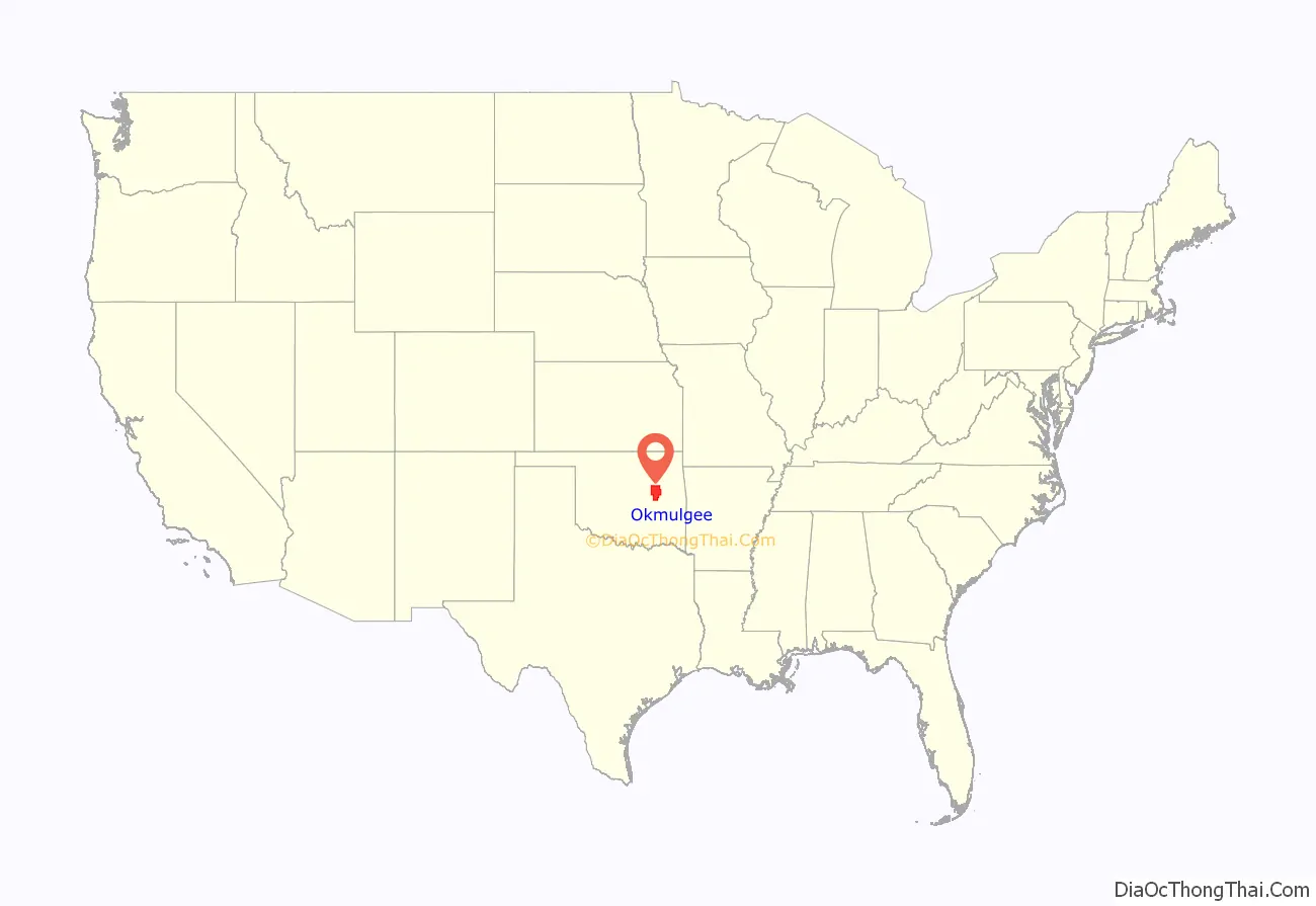
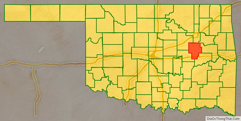
Okmulgee County location map. Where is Okmulgee County?
History
The Creek Nation was removed into this part of Indian Territory along the Trail of Tears after signing treaties exchanging their land in Georgia and Alabama in 1826 and 1832. The actual move occurred over the period from 1827 to 1836. The Creek Nation government, led by chief Samuel Checote, revised its constitution in 1867 and designated Okmulgee as its capital in 1868. The U.S. Post Office opened in Okmulgee on April 29, 1869. The Creek Nation built its capitol, a log building, in 1869. The building was rebuilt of stone in 1878.
Okmulgee County was formed on July 16, 1907, from Muskogee land, with a population of 14,362. County government offices were located in the Creek Council House until 1916, when the present Okmulgee County Courthouse was built. The former council building was then repurposed. The county’s population was 21,115 in 1910 and increased to a high of 56,558 by 1930.
Railroads came to the area in 1900, when the St. Louis, Oklahoma and Southern Railway (later the St. Louis and San Francisco Railway or Frisco) built a line from Sapulpa, Oklahoma via Okmulgee to a place near the Red River. The Shawnee, Oklahoma and Missouri Coal and Railway (later also acquired by the Frisco) built a line from Muskogee to Okmulgee in 1902–03. It was abandoned in 1973. The Missouri, Oklahoma and Gulf Railway (purchased by the Kansas, Oklahoma and Gulf Railway in 1919) ran through Dewar, Oklahoma beginning in 1909, and the Okmulgee Northern Railway operated between Okmulgee and Deep Fork from 1916 to 1964.
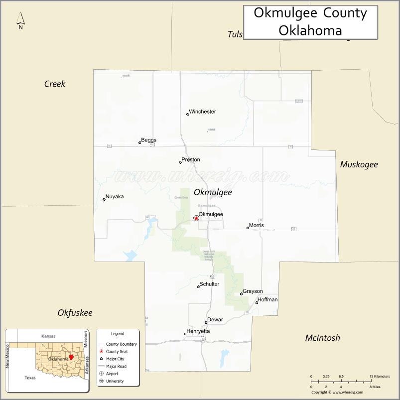
In 1918, the boundary between Okmulgee County and McIntosh County was realigned, moving the towns of Grayson and Hoffman from McIntosh into Okmulgee County.
The Creek Council House still stands today. While ownership of the building changed over the years, the City of Okmulgee in November 2010 sold the building back to the tribe for $3.2 million. The building currently houses the Creek Council House Museum, with artifacts and exhibits about the history of the Muscogee tribe and the arts and crafts of other Native American tribes.
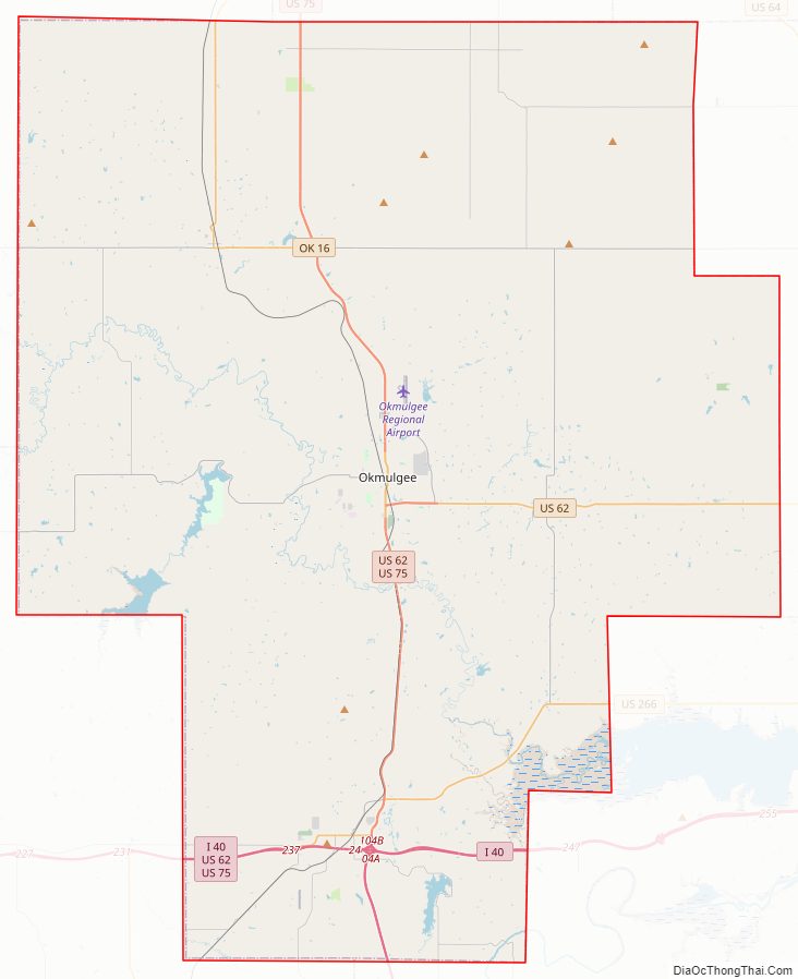
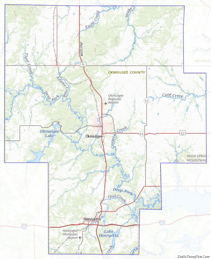
Okmulgee County Road Map
Geography
According to the U.S. Census Bureau, the county has a total area of 702 square miles (1,820 km), of which 697 square miles (1,810 km) is land and 5.0 square miles (13 km) (0.7%) is water. Lake Henryetta, Okmulgee Lake, Nichols Lake, most of Dripping Springs Lake, and the tip of Oklahoma’s largest lake, Lake Eufaula, lie within the county. The Deep Fork of the North Canadian River is the principal waterway in the county. The eastern part of the county is within the Eastern Lowlands physiographic region and the western part is in the Osage Plains. Okmulgee Park and Dripping Springs Park lie west and southwest of the city of Okmulgee. Deep Fork National Wildlife Refuge lies within the southern part of the county. The area known as the High Spring Mountains is in the eastern part of the county south of Eram, and extending further south into McIntosh County in the Hitchita vicinity.
Adjacent counties
- Tulsa County (north)
- Wagoner County (northeast)
- Muskogee County (east)
- McIntosh County (southeast)
- Okfuskee County (southwest)
- Creek County (northwest)
Okmulgee County Topographic Map
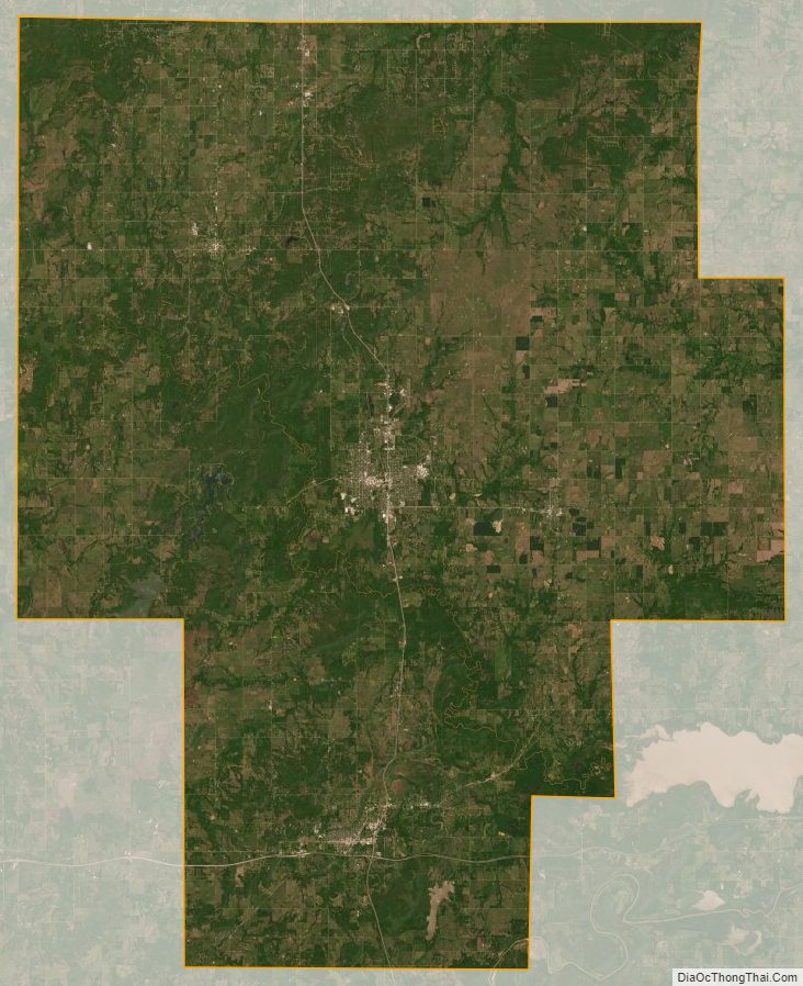
Okmulgee County Satellite Map
Okmulgee County Outline Map

See also
Map of Oklahoma State and its subdivision:- Adair
- Alfalfa
- Atoka
- Beaver
- Beckham
- Blaine
- Bryan
- Caddo
- Canadian
- Carter
- Cherokee
- Choctaw
- Cimarron
- Cleveland
- Coal
- Comanche
- Cotton
- Craig
- Creek
- Custer
- Delaware
- Dewey
- Ellis
- Garfield
- Garvin
- Grady
- Grant
- Greer
- Harmon
- Harper
- Haskell
- Hughes
- Jackson
- Jefferson
- Johnston
- Kay
- Kingfisher
- Kiowa
- Latimer
- Le Flore
- Lincoln
- Logan
- Love
- Major
- Marshall
- Mayes
- McClain
- McCurtain
- McIntosh
- Murray
- Muskogee
- Noble
- Nowata
- Okfuskee
- Oklahoma
- Okmulgee
- Osage
- Ottawa
- Pawnee
- Payne
- Pittsburg
- Pontotoc
- Pottawatomie
- Pushmataha
- Roger Mills
- Rogers
- Seminole
- Sequoyah
- Stephens
- Texas
- Tillman
- Tulsa
- Wagoner
- Washington
- Washita
- Woods
- Woodward
- Alabama
- Alaska
- Arizona
- Arkansas
- California
- Colorado
- Connecticut
- Delaware
- District of Columbia
- Florida
- Georgia
- Hawaii
- Idaho
- Illinois
- Indiana
- Iowa
- Kansas
- Kentucky
- Louisiana
- Maine
- Maryland
- Massachusetts
- Michigan
- Minnesota
- Mississippi
- Missouri
- Montana
- Nebraska
- Nevada
- New Hampshire
- New Jersey
- New Mexico
- New York
- North Carolina
- North Dakota
- Ohio
- Oklahoma
- Oregon
- Pennsylvania
- Rhode Island
- South Carolina
- South Dakota
- Tennessee
- Texas
- Utah
- Vermont
- Virginia
- Washington
- West Virginia
- Wisconsin
- Wyoming