Oktibbeha County is a county in the east central portion of the U.S. state of Mississippi. As of the 2020 census the population was 51,788. The county seat is Starkville. The county’s name is derived from a local Native American word meaning either “bloody water” or “icy creek”. The Choctaw had long occupied much of this territory prior to European exploration and United States acquisition.
Mississippi State University, a public research university and land-grant institution, is in Oktibbeha County.
Oktibbeha County is conterminous with the Starkville, MS Micropolitian Statistical Area. The county is part of the Golden Triangle region of Mississippi, designated for joint regional development strategies.
| Name: | Oktibbeha County |
|---|---|
| FIPS code: | 28-105 |
| State: | Mississippi |
| Founded: | 1833 |
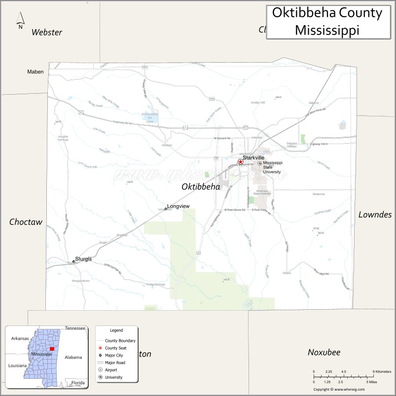
| Seat: | Starkville |
| Largest city: | Starkville |
| Total Area: | 462 sq mi (1,200 km²) |
| Land Area: | 458 sq mi (1,190 km²) |
| Total Population: | 51,788 |
| Population Density: | 110/sq mi (43/km²) |
| Time zone: | UTC−6 (Central) |
| Summer Time Zone (DST): | UTC−5 (CDT) |
| Website: | www.oktibbehacountyms.org |
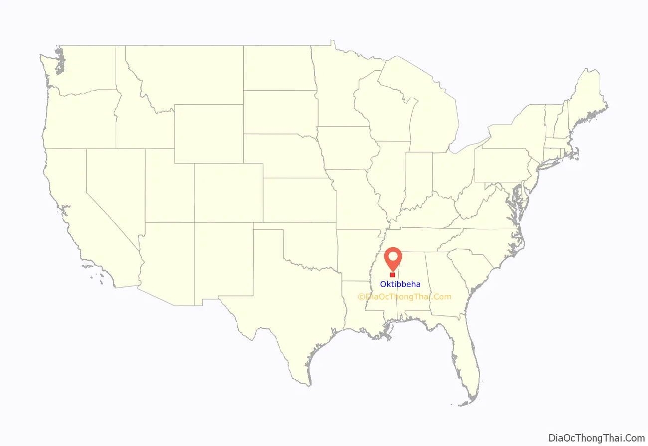
Oktibbeha County location map. Where is Oktibbeha County?
History
The name Oktibbeha is a Native American word meaning either “bloody water” (because of a battle fought on the banks) or possibly “icy creek”. Indian artifacts more than 2,000 years old have been found near ancient earthwork mounds located just east of Starkville, showing the area has been inhabited at least this long. The artifacts have been used to date the construction of the mounds to the Woodland period, ending about 1000 A.D. The Choctaw people, one of the Five Civilized Tribes of the Southeast, occupied extensive territory in this area for centuries prior to European encounter. European-American settlers named the Indian Mound Campground nearby for the earthwork monuments.
Artifacts in the form of clay pot fragments and artwork dating from that period have been found at the Herman Mound and Village site, which is listed on the National Register of Historic Places. It can be accessed from the Indian Mound Campground.
Shortly before the American Revolutionary War period, the area was inhabited by the Choccuma (or Chakchiuma) tribe. They were destroyed at a settlement known as Lyon’s Bluff by a rare alliance between the Choctaw and Chickasaw, who were traditional rivals.
The modern early European-American settlement of the area was started formally in the 1830s during the period of Indian Removal initiated by President Andrew Jackson. The Choctaw of Oktibbeha County ceded their claims to land in the area to the United States in the Treaty of Dancing Rabbit Creek in 1830. They were removed to other lands west of the Mississippi River, in Indian Territory, part of what became the state of Oklahoma.
Like the indigenous peoples before them, European Americans were drawn to the Starkville area because of two large natural springs. The Choctaw Agency was set up near what is now Sturgis, first to trade and manage relations with the Choctaw. What was originally a trading post was located on Old Robinson Road, about 1.5 mi (2.4 km) east of the Noxubee River. Later the Choctaw Agency organized the sale of the former Choctaw lands to migrants arriving from other areas of the United States.
A lumber mill was established southwest of town; it produced clapboards, from which the settlement took its original name of Boardtown. In 1835, Boardtown was established as the county seat of Oktibbeha County. Its name was changed to Starkville in honor of Revolutionary War hero General John Stark.
After the Civil War, three groups of the Ku Klux Klan arose in the county: in Starkville, at Choctaw Agency (Sturgis), and in Double Springs. They used violence against blacks to try to suppress their vote and maintain white supremacy. Freedmen had largely joined the Republican Party, headed by President Abraham Lincoln, who had gained their emancipation and supported constitutional amendments to grant them citizenship and the franchise. Every election cycle was accompanied by violence of white Democrats against the mostly black Republicans.
In 1876, for example, a group of 18 white men known as White-Liners, led by Dorsey Outlaw, surrounded the Republican Club in Chapel Hill near Choctaw Agency. They fired upon the black members from ambush, shooting several in the back. Charles Curry was killed instantly, and 36 blacks were wounded, four of them possibly mortally. Jeff Gregory died the following day. The same group of White-Liners traveled to Artesia the next day to intimidate black voters there, and on to Columbus the next day.
Following Reconstruction, white conservative Democrats dominated the state legislature. Mississippi State University (originally known as Agricultural and Mechanical College of the State of Mississippi) was founded near Starkville in 1878 as a land-grant university. It has become a major research university.
20th century to present
In 1912 Mann Hamilton, a black man, was accused of assaulting June Bell, a white woman, at Bell’s school house near Maben. Although Sheriff Nickles tried to gain custody of the suspect, he was directed to the wrong location. Hamilton was captured, lynched, and hanged by a white mob without any trial. This was one of six lynchings of African Americans committed by whites in the county in the post-Reconstruction period and extending into the early 20th century.
In 1960, seven black men from Little Rock, Arkansas used the only restroom at Weaver’s Amoco in Osborn; it was designated for whites only. They were arrested at Mayhew Junction in Lowndes County, and required to pay a $200 per person bond. According to the law, they faced a maximum penalty of six months in jail and fines of $500 each. The case was widely anticipated as the first test of the state’s sit-in law, but was settled when the defendants unexpectedly pleaded guilty and paid small fines at the county court in Starkville the next day.
Since the late 20th century, Oktibbeha, along with Clay and Lowndes counties, has been designated as the Golden Triangle in Mississippi. The three counties share a goal of collaborative economic development; they have had a history of rural and agricultural development.
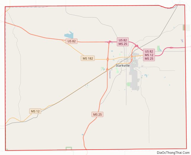
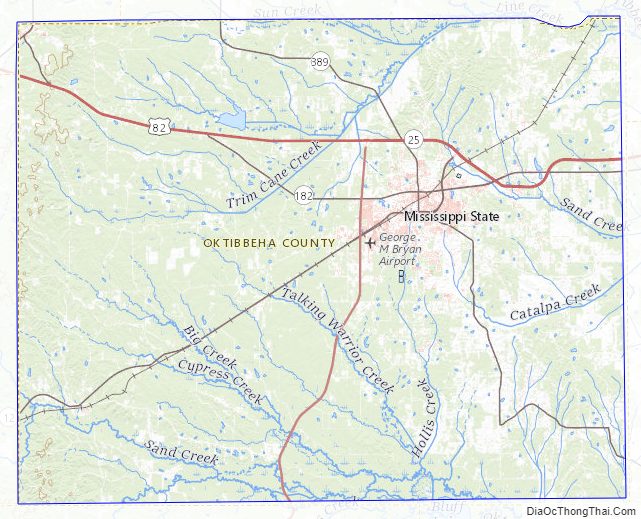
Oktibbeha County Road Map
Geography
According to the U.S. Census Bureau, the county has a total area of 462 square miles (1,200 km), of which 458 square miles (1,190 km) is land and 3.7 square miles (9.6 km) (0.8%) is water. The majority of the county lies within the Black Belt geological formation of fertile uplands, which had supported extensive cotton plantations, while portions of the county are in the Flatwoods region.
Major highways
- U.S. Highway 82
- Mississippi Highway 12
- Mississippi Highway 25
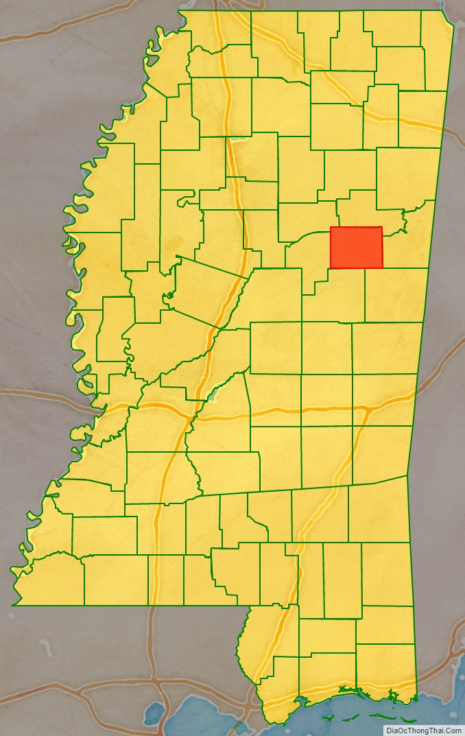
Adjacent counties
- Noxubee County (southeast)
- Winston County (south)
- Choctaw County (west)
- Webster County (northwest)
- Clay County (north)
- Lowndes County (east)
National protected areas
- Noxubee National Wildlife Refuge (part)
- Tombigbee National Forest (part)
Oktibbeha County Topographic Map
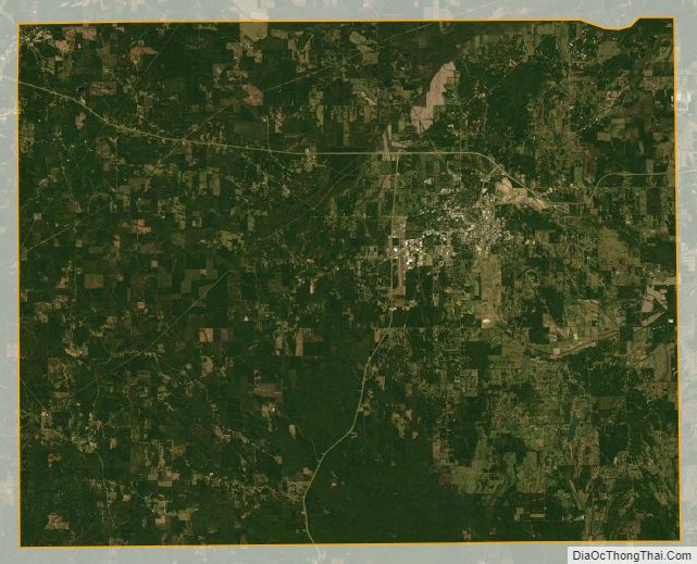
Oktibbeha County Satellite Map
Oktibbeha County Outline Map

See also
Map of Mississippi State and its subdivision:- Adams
- Alcorn
- Amite
- Attala
- Benton
- Bolivar
- Calhoun
- Carroll
- Chickasaw
- Choctaw
- Claiborne
- Clarke
- Clay
- Coahoma
- Copiah
- Covington
- Desoto
- Forrest
- Franklin
- George
- Greene
- Grenada
- Hancock
- Harrison
- Hinds
- Holmes
- Humphreys
- Issaquena
- Itawamba
- Jackson
- Jasper
- Jefferson
- Jefferson Davis
- Jones
- Kemper
- Lafayette
- Lamar
- Lauderdale
- Lawrence
- Leake
- Lee
- Leflore
- Lincoln
- Lowndes
- Madison
- Marion
- Marshall
- Monroe
- Montgomery
- Neshoba
- Newton
- Noxubee
- Oktibbeha
- Panola
- Pearl River
- Perry
- Pike
- Pontotoc
- Prentiss
- Quitman
- Rankin
- Scott
- Sharkey
- Simpson
- Smith
- Stone
- Sunflower
- Tallahatchie
- Tate
- Tippah
- Tishomingo
- Tunica
- Union
- Walthall
- Warren
- Washington
- Wayne
- Webster
- Wilkinson
- Winston
- Yalobusha
- Yazoo
- Alabama
- Alaska
- Arizona
- Arkansas
- California
- Colorado
- Connecticut
- Delaware
- District of Columbia
- Florida
- Georgia
- Hawaii
- Idaho
- Illinois
- Indiana
- Iowa
- Kansas
- Kentucky
- Louisiana
- Maine
- Maryland
- Massachusetts
- Michigan
- Minnesota
- Mississippi
- Missouri
- Montana
- Nebraska
- Nevada
- New Hampshire
- New Jersey
- New Mexico
- New York
- North Carolina
- North Dakota
- Ohio
- Oklahoma
- Oregon
- Pennsylvania
- Rhode Island
- South Carolina
- South Dakota
- Tennessee
- Texas
- Utah
- Vermont
- Virginia
- Washington
- West Virginia
- Wisconsin
- Wyoming