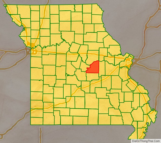
Osage County is a county in the central part of the U.S. state of Missouri. As of the 2020 census, the population was 13,274. Its county seat is Linn. The county was organized January 29, 1841, and named from the Osage River.
Osage County is part of the Jefferson City, MO Metropolitan Statistical Area. Its geography and the founding of Westphalia Vineyards links it to the Missouri Rhineland, extending along the Missouri River valley to the western edges of the St. Louis Metropolitan Area.
According to data from the 2010 census, Osage County is the whitest county in Missouri, with 98.85 percent of residents being white.
| Name: | Osage County |
|---|---|
| FIPS code: | 29-151 |
| State: | Missouri |
| Founded: | January 29, 1841 |
| Named for: | Osage River |
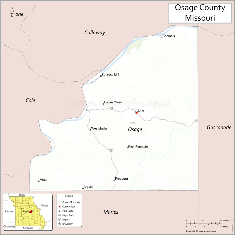
| Seat: | Linn |
| Largest city: | Linn |
| Total Area: | 611 sq mi (1,580 km²) |
| Land Area: | 604 sq mi (1,560 km²) |
| Total Population: | 13,274 |
| Population Density: | 22/sq mi (8.4/km²) |
| Time zone: | UTC−6 (Central) |
| Summer Time Zone (DST): | UTC−5 (CDT) |
| Website: | osagecountygov.com |
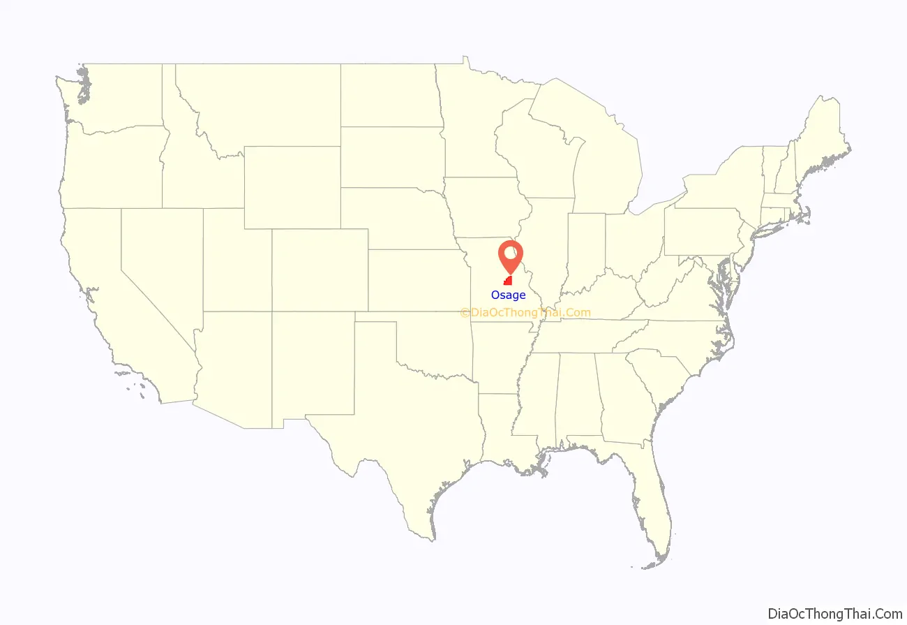
Osage County location map. Where is Osage County?
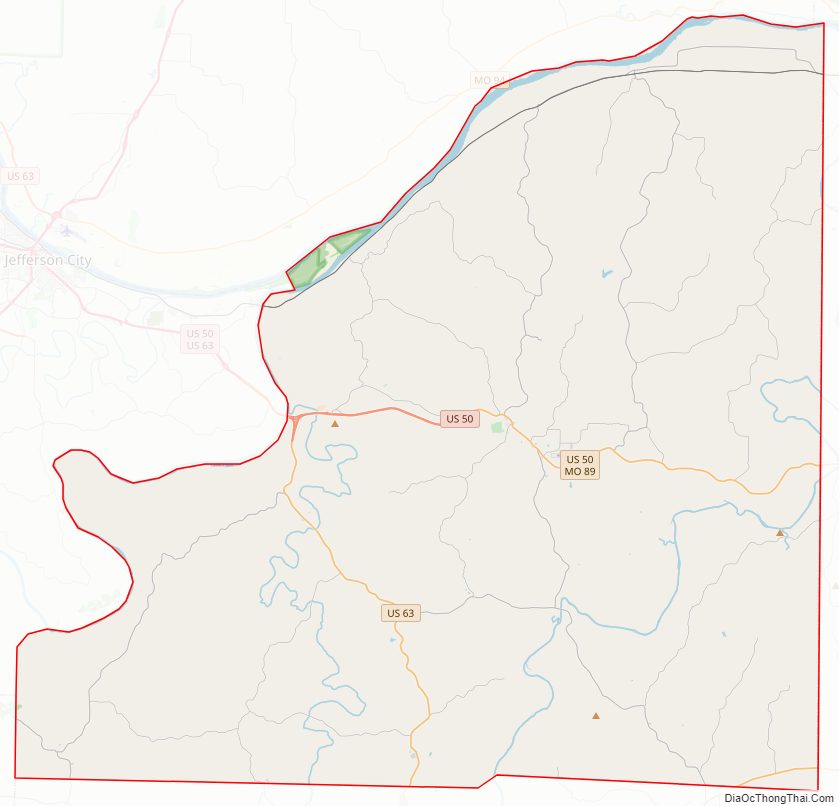
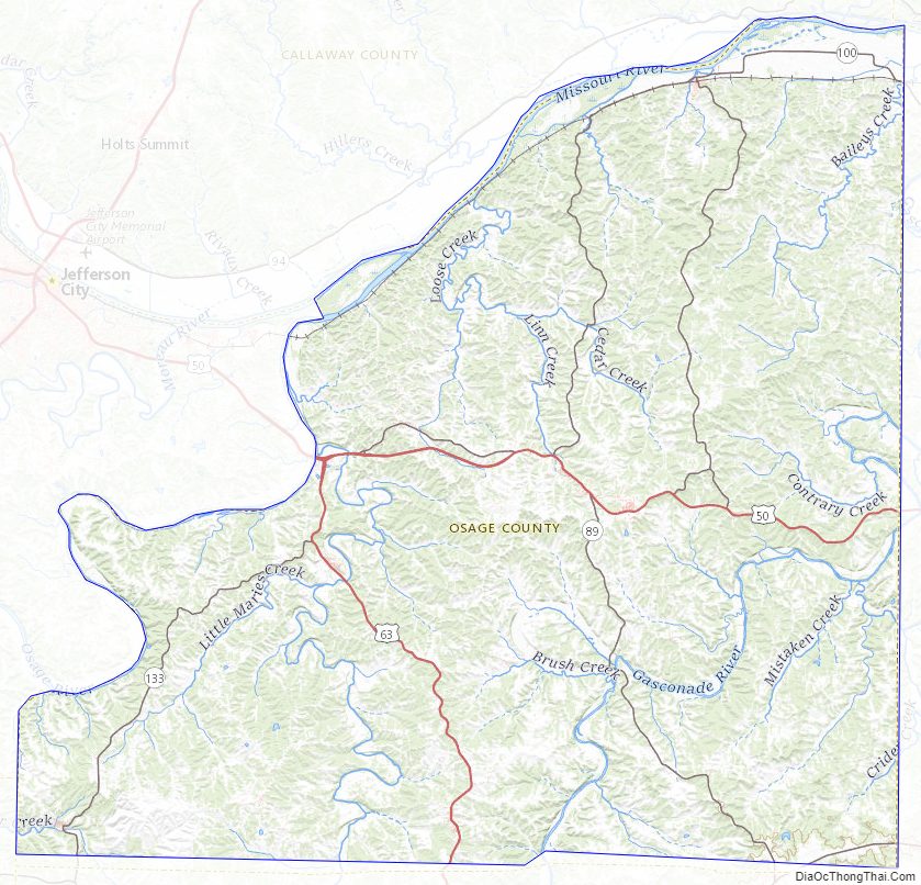
Osage County Road Map
Geography
According to the U.S. Census Bureau, the county has a total area of 610 square miles (1,600 km), of which 604 square miles (1,560 km) is land and 6.1 square miles (16 km) (1.0%) is water.
Adjacent counties
- Callaway County (north)
- Gasconade County (east)
- Maries County (south)
- Miller County (southwest)
- Cole County (west)
- Montgomery County (northeast)
Major highways
- U.S. Route 50
- U.S. Route 63
- Route 89
- Route 100
- Route 133
Osage County Topographic Map
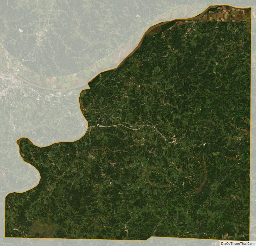
Osage County Satellite Map
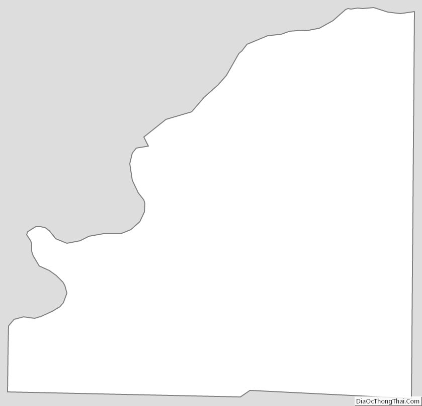
Osage County Outline Map
See also
Map of Missouri State and its subdivision:- Adair
- Andrew
- Atchison
- Audrain
- Barry
- Barton
- Bates
- Benton
- Bollinger
- Boone
- Buchanan
- Butler
- Caldwell
- Callaway
- Camden
- Cape Girardeau
- Carroll
- Carter
- Cass
- Cedar
- Chariton
- Christian
- Clark
- Clay
- Clinton
- Cole
- Cooper
- Crawford
- Dade
- Dallas
- Daviess
- De Kalb
- Dent
- Douglas
- Dunklin
- Franklin
- Gasconade
- Gentry
- Greene
- Grundy
- Harrison
- Henry
- Hickory
- Holt
- Howard
- Howell
- Iron
- Jackson
- Jasper
- Jefferson
- Johnson
- Knox
- Laclede
- Lafayette
- Lawrence
- Lewis
- Lincoln
- Linn
- Livingston
- Macon
- Madison
- Maries
- Marion
- McDonald
- Mercer
- Miller
- Mississippi
- Moniteau
- Monroe
- Montgomery
- Morgan
- New Madrid
- Newton
- Nodaway
- Oregon
- Osage
- Ozark
- Pemiscot
- Perry
- Pettis
- Phelps
- Pike
- Platte
- Polk
- Pulaski
- Putnam
- Ralls
- Randolph
- Ray
- Reynolds
- Ripley
- Saint Charles
- Saint Clair
- Saint Francois
- Saint Louis
- Sainte Genevieve
- Saline
- Schuyler
- Scotland
- Scott
- Shannon
- Shelby
- Stoddard
- Stone
- Sullivan
- Taney
- Texas
- Vernon
- Warren
- Washington
- Wayne
- Webster
- Worth
- Wright
- Alabama
- Alaska
- Arizona
- Arkansas
- California
- Colorado
- Connecticut
- Delaware
- District of Columbia
- Florida
- Georgia
- Hawaii
- Idaho
- Illinois
- Indiana
- Iowa
- Kansas
- Kentucky
- Louisiana
- Maine
- Maryland
- Massachusetts
- Michigan
- Minnesota
- Mississippi
- Missouri
- Montana
- Nebraska
- Nevada
- New Hampshire
- New Jersey
- New Mexico
- New York
- North Carolina
- North Dakota
- Ohio
- Oklahoma
- Oregon
- Pennsylvania
- Rhode Island
- South Carolina
- South Dakota
- Tennessee
- Texas
- Utah
- Vermont
- Virginia
- Washington
- West Virginia
- Wisconsin
- Wyoming