Otoe County is a county in the U.S. state of Nebraska. As of the 2010 United States Census, the population was 15,740. Its county seat is Nebraska City. The county was formed in 1854, and was named tor the Otoe Indian tribe.
In the Nebraska license plate system, Otoe County is represented by the prefix 11 (it had the 11th-largest number of vehicles registered in the county when the license plate system was established in 1922).
| Name: | Otoe County |
|---|---|
| FIPS code: | 31-131 |
| State: | Nebraska |
| Founded: | 1855 |
| Named for: | Otoe tribe |
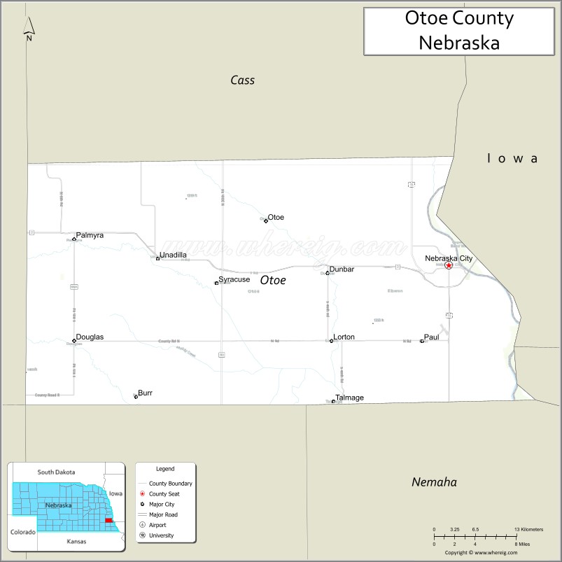
| Seat: | Nebraska City |
| Largest city: | Nebraska City |
| Total Area: | 619 sq mi (1,600 km²) |
| Land Area: | 616 sq mi (1,600 km²) |
| Total Population: | 15,930 |
| Population Density: | 26/sq mi (10/km²) |
| Time zone: | UTC−6 (Central) |
| Summer Time Zone (DST): | UTC−5 (CDT) |
| Website: | www.co.otoe.ne.us |
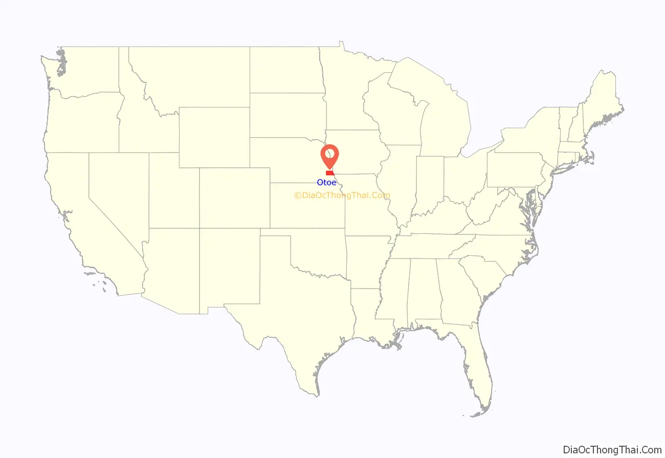
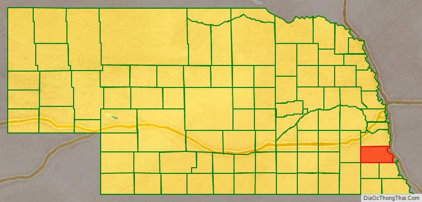
Otoe County location map. Where is Otoe County?
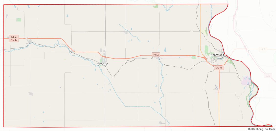
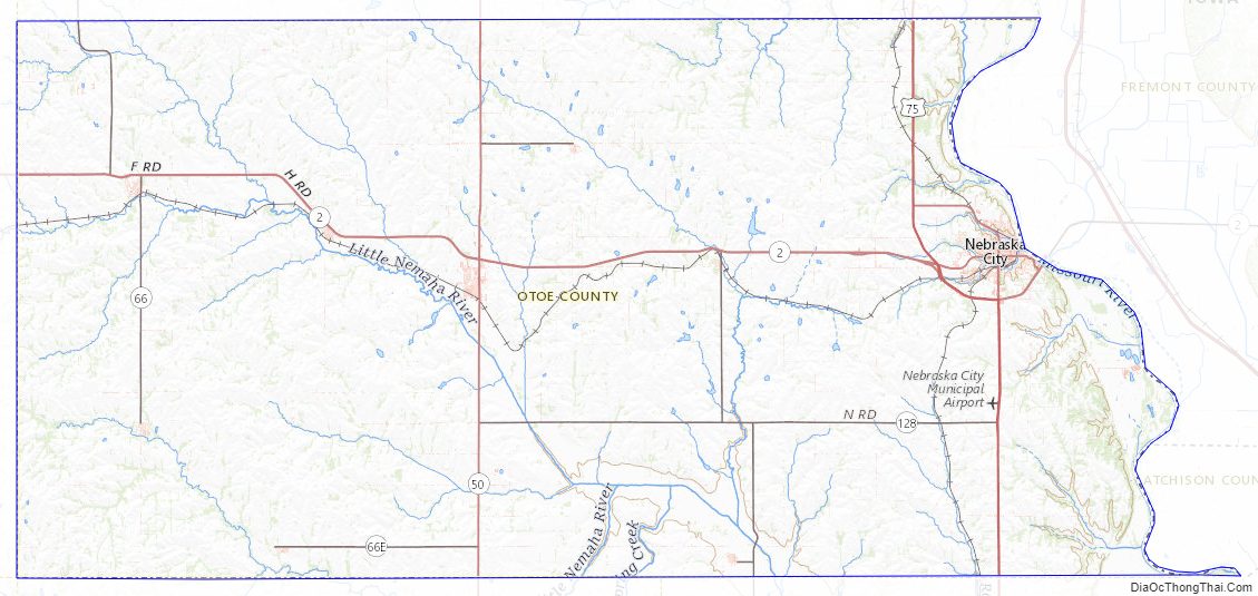
Otoe County Road Map
Geography
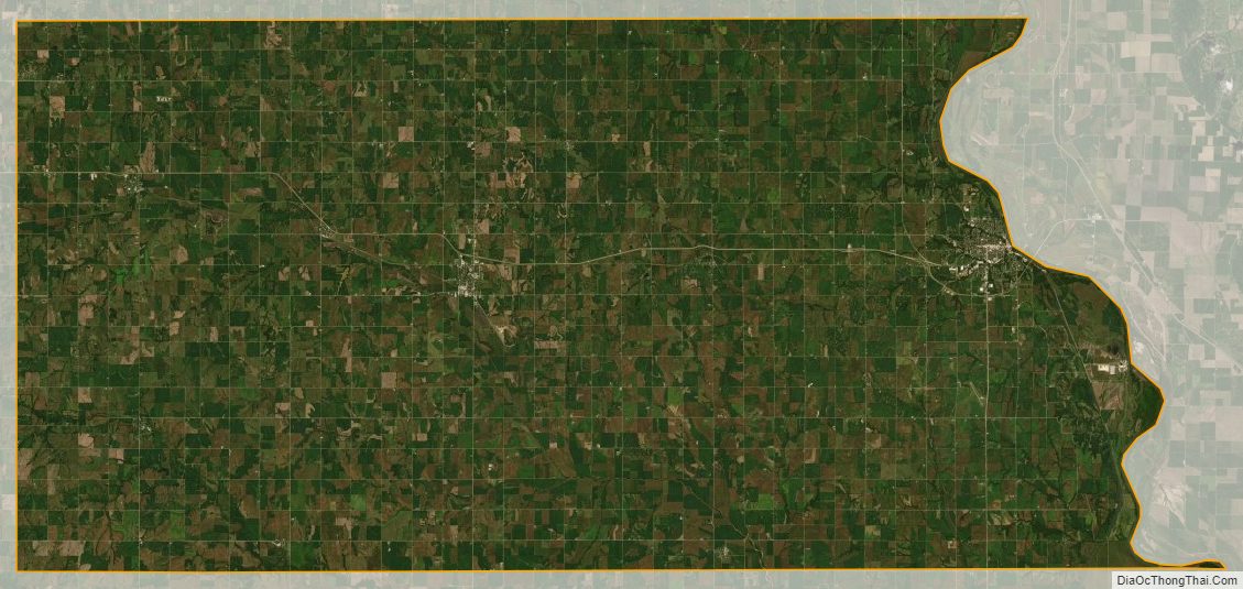
Otoe County lies on the east side of Nebraska. Its east boundary line abuts the west boundary lines of the states of Iowa and Missouri (across the Missouri River). The terrain of Otoe County consists of rolling hills which drop down to the river basin, and rich soil. The area is largely devoted to agriculture (corn, soybeans, milo, wheat, and fruit orchards). The county has a total area of 619 square miles (1,600 km), of which 616 square miles (1,600 km) is land and 3.4 square miles (8.8 km) (0.5%) is water.
Otoe County derives its name from the Otoe Indians, who lived in the area.
Major highways
- U.S. Highway 75
- Nebraska Highway 2
- Nebraska Highway 43
- Nebraska Highway 50
- Nebraska Highway 67
- Nebraska Highway 128
Adjacent counties
- Cass County – north
- Fremont County, Iowa – northeast
- Atchison County, Missouri – east
- Nemaha County – southeast
- Johnson County – south
- Gage County – southwest
- Lancaster County – west
Otoe County Topographic Map
Otoe County Satellite Map
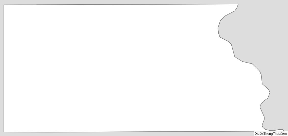
Otoe County Outline Map
See also
Map of Nebraska State and its subdivision:- Adams
- Antelope
- Arthur
- Banner
- Blaine
- Boone
- Box Butte
- Boyd
- Brown
- Buffalo
- Burt
- Butler
- Cass
- Cedar
- Chase
- Cherry
- Cheyenne
- Clay
- Colfax
- Cuming
- Custer
- Dakota
- Dawes
- Dawson
- Deuel
- Dixon
- Dodge
- Douglas
- Dundy
- Fillmore
- Franklin
- Frontier
- Furnas
- Gage
- Garden
- Garfield
- Gosper
- Grant
- Greeley
- Hall
- Hamilton
- Harlan
- Hayes
- Hitchcock
- Holt
- Hooker
- Howard
- Jefferson
- Johnson
- Kearney
- Keith
- Keya Paha
- Kimball
- Knox
- Lancaster
- Lincoln
- Logan
- Loup
- Madison
- McPherson
- Merrick
- Morrill
- Nance
- Nemaha
- Nuckolls
- Otoe
- Pawnee
- Perkins
- Phelps
- Pierce
- Platte
- Polk
- Red Willow
- Richardson
- Rock
- Saline
- Sarpy
- Saunders
- Scotts Bluff
- Seward
- Sheridan
- Sherman
- Sioux
- Stanton
- Thayer
- Thomas
- Thurston
- Valley
- Washington
- Wayne
- Webster
- Wheeler
- York
- Alabama
- Alaska
- Arizona
- Arkansas
- California
- Colorado
- Connecticut
- Delaware
- District of Columbia
- Florida
- Georgia
- Hawaii
- Idaho
- Illinois
- Indiana
- Iowa
- Kansas
- Kentucky
- Louisiana
- Maine
- Maryland
- Massachusetts
- Michigan
- Minnesota
- Mississippi
- Missouri
- Montana
- Nebraska
- Nevada
- New Hampshire
- New Jersey
- New Mexico
- New York
- North Carolina
- North Dakota
- Ohio
- Oklahoma
- Oregon
- Pennsylvania
- Rhode Island
- South Carolina
- South Dakota
- Tennessee
- Texas
- Utah
- Vermont
- Virginia
- Washington
- West Virginia
- Wisconsin
- Wyoming