Platte County is a county located in the U.S. state of Wyoming. As of the 2020 United States Census, the population was 8,605. Its county seat is Wheatland.
| Name: | Platte County |
|---|---|
| FIPS code: | 56-031 |
| State: | Wyoming |
| Founded: | February 21, 1911 (authorized) 1913 (organized) |
| Named for: | North Platte River |
| Seat: | Wheatland |
| Largest town: | Wheatland |
| Total Area: | 2,111 sq mi (5,470 km²) |
| Land Area: | 2,084 sq mi (5,400 km²) |
| Total Population: | 8,605 |
| Population Density: | 4.1/sq mi (1.6/km²) |
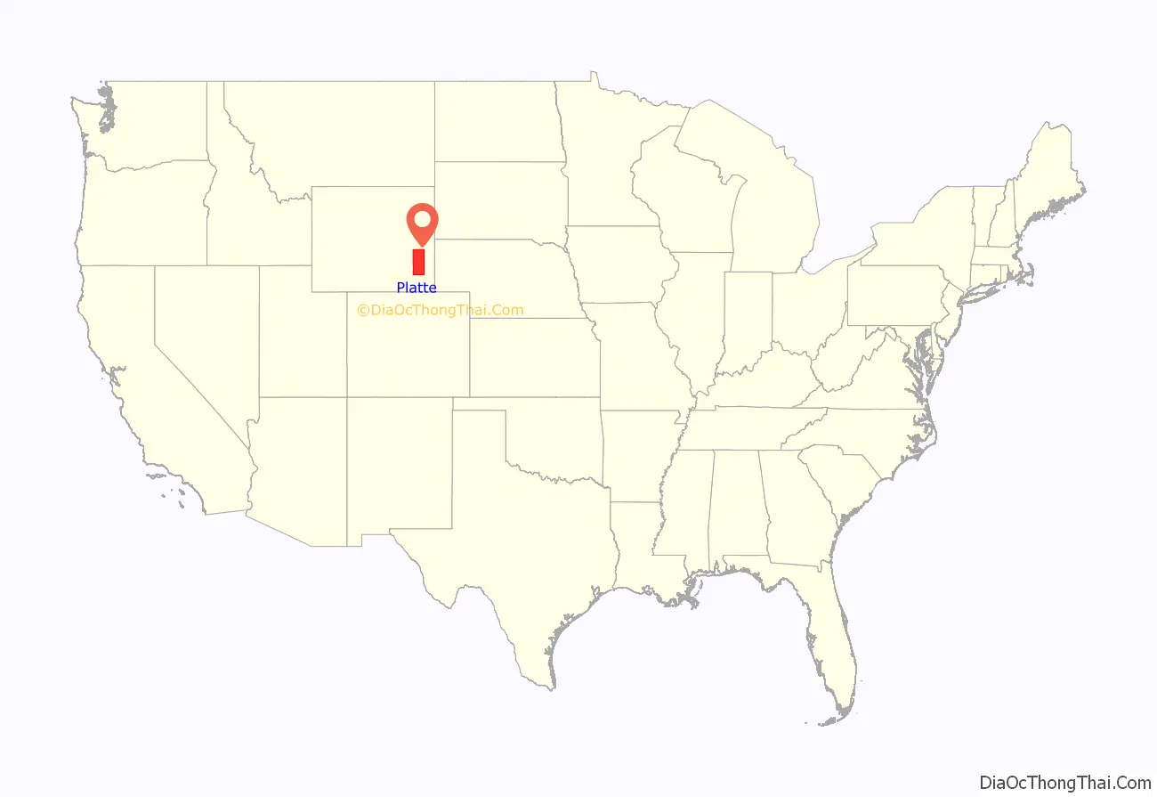
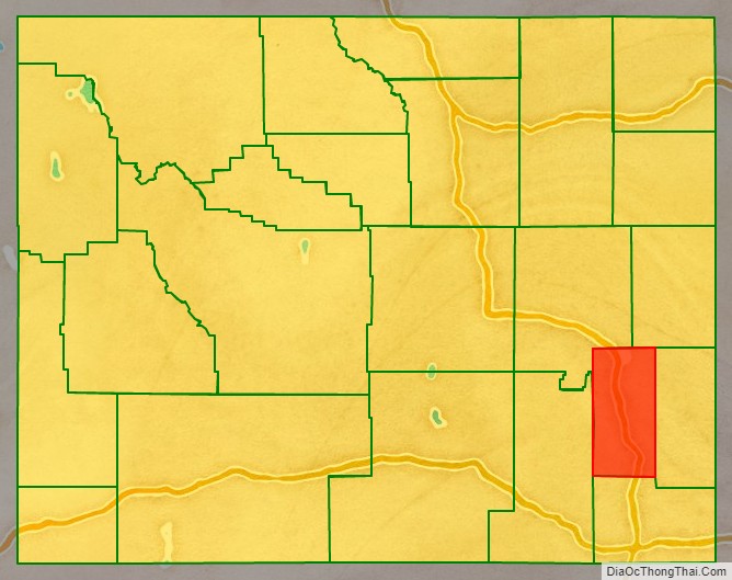
Platte County location map. Where is Platte County?
History
Platte County was created February 21, 1911 with land detached from Laramie County and organized in 1913. The county was named for the North Platte River, which flows through the northeastern part of the county.
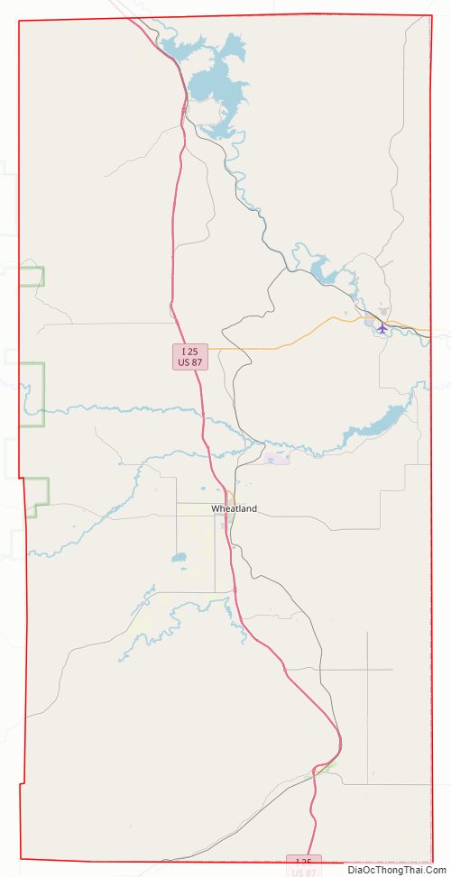
Platte County Road Map
Geography
According to the US Census Bureau, the county has a total area of 2,111 square miles (5,470 km), of which 2,084 square miles (5,400 km) is land and 27 square miles (70 km) (1.3%) is water. It is the third-smallest county in Wyoming by area.
Adjacent counties
- Niobrara County (northeast)
- Goshen County (east)
- Laramie County (south)
- Albany County (west)
- Converse County (northwest)
National protected area
- Medicine Bow National Forest (part)
Major Highways
- Interstate 25
- U.S. Highway 26
- U.S. Highway 87
- Wyoming Highway 34
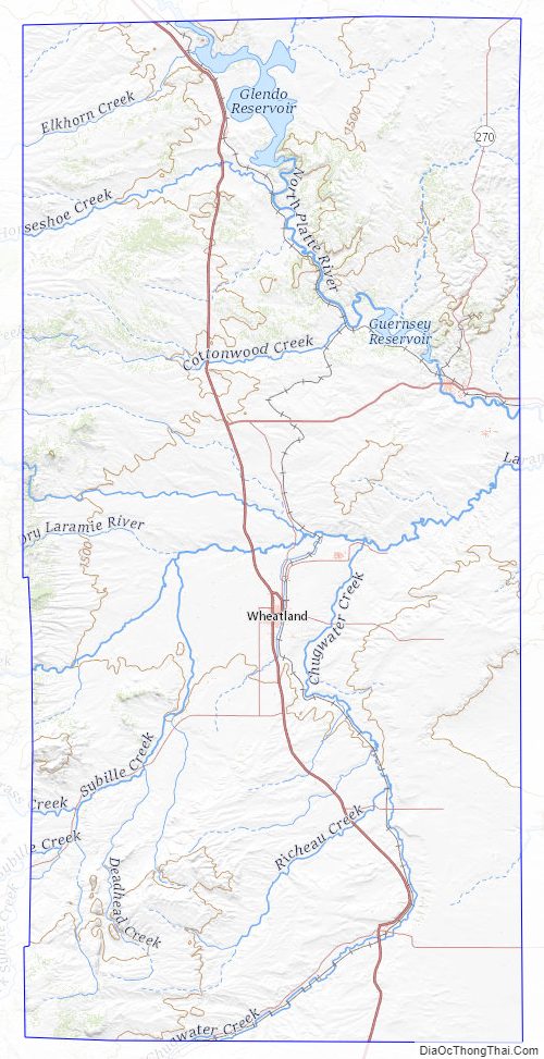
Platte County Topographic Map
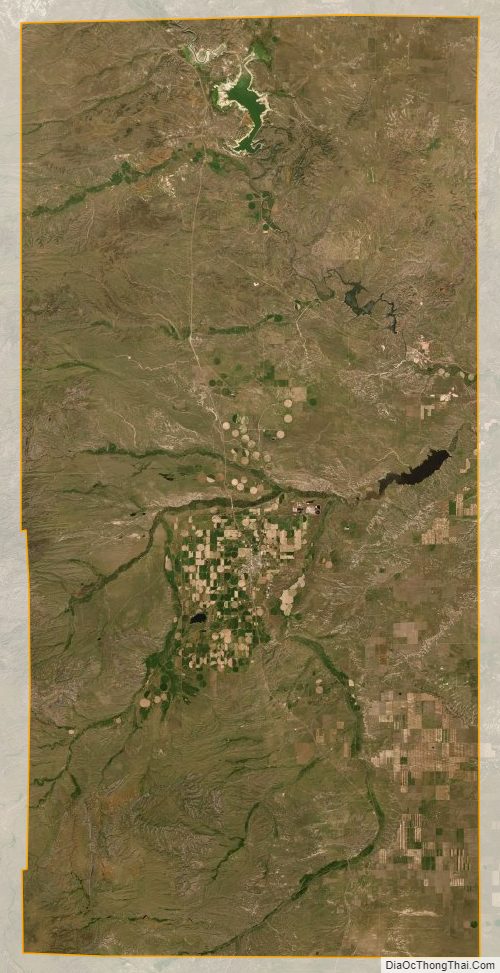
Platte County Satellite Map
Platte County Outline Map

See also
Map of Wyoming State and its subdivision: Map of other states:- Alabama
- Alaska
- Arizona
- Arkansas
- California
- Colorado
- Connecticut
- Delaware
- District of Columbia
- Florida
- Georgia
- Hawaii
- Idaho
- Illinois
- Indiana
- Iowa
- Kansas
- Kentucky
- Louisiana
- Maine
- Maryland
- Massachusetts
- Michigan
- Minnesota
- Mississippi
- Missouri
- Montana
- Nebraska
- Nevada
- New Hampshire
- New Jersey
- New Mexico
- New York
- North Carolina
- North Dakota
- Ohio
- Oklahoma
- Oregon
- Pennsylvania
- Rhode Island
- South Carolina
- South Dakota
- Tennessee
- Texas
- Utah
- Vermont
- Virginia
- Washington
- West Virginia
- Wisconsin
- Wyoming