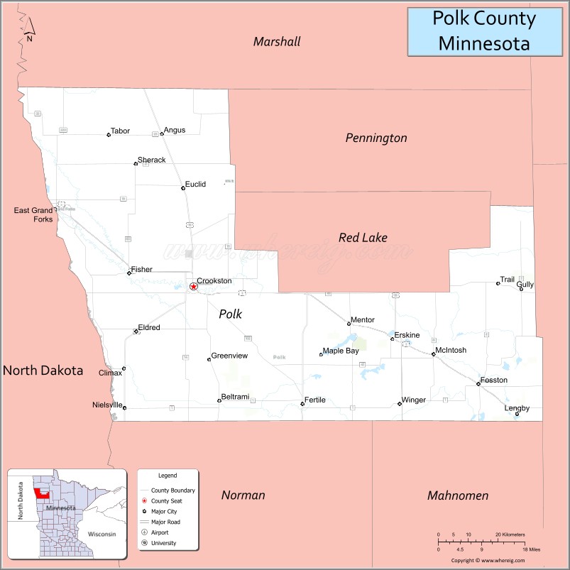
Polk County is a county in the northwestern part of the U.S. state of Minnesota. Its population was 31,192 at the 2020 census. Its county seat is Crookston, and the largest community is East Grand Forks.
Polk County is part of the Grand Forks, ND-MN metropolitan statistical area.
| Name: | Polk County |
|---|---|
| FIPS code: | 27-119 |
| State: | Minnesota |
| Founded: | 1858 |
| Named for: | James Knox Polk |
| Seat: | Crookston |
| Largest city: | East Grand Forks |
| Total Area: | 1,998 sq mi (5,170 km²) |
| Land Area: | 1,971 sq mi (5,100 km²) |
| Total Population: | 31,192 |
| Population Density: | 15.8/sq mi (6.1/km²) |
| Time zone: | UTC−6 (Central) |
| Summer Time Zone (DST): | UTC−5 (CDT) |
| Website: | www.co.polk.mn.us |
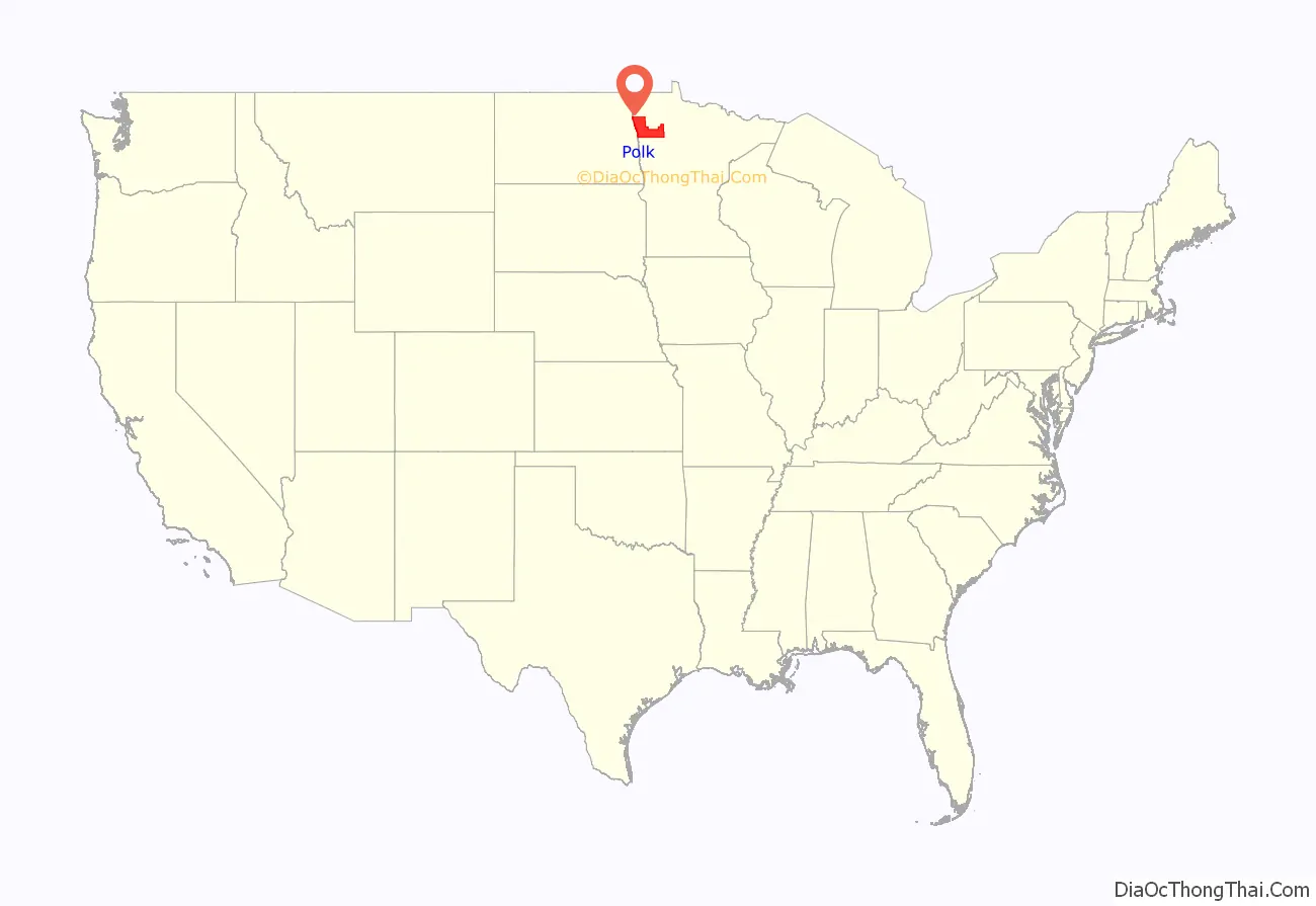
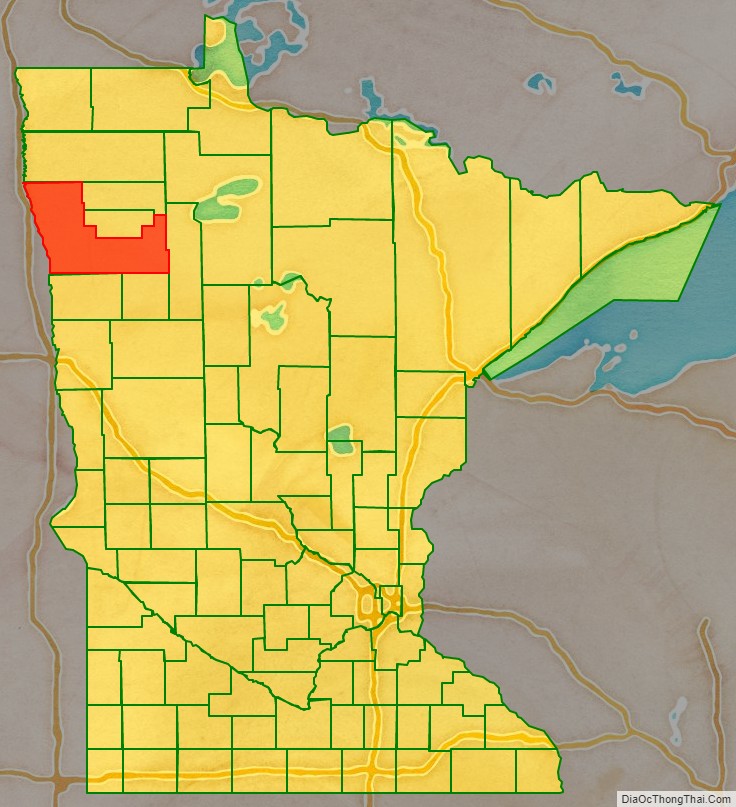
Polk County location map. Where is Polk County?
History
In one of its early acts as a state entity, the Minnesota Legislature created the county on July 20, 1858, but did not organize it at that time. The county was named for the 11th president of the United States, James Knox Polk, who signed the congressional act that organized the Minnesota Territory. The county was organized in 1872 and 1873, with the newly settled community of Crookston as the county seat.
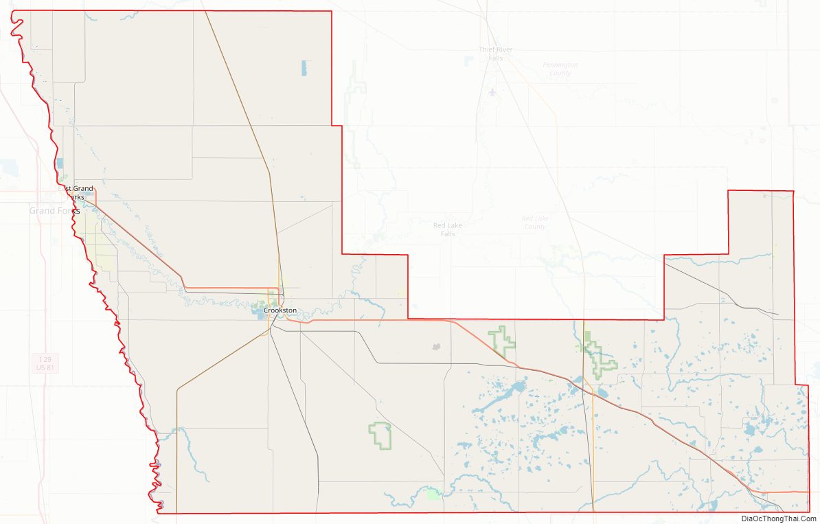
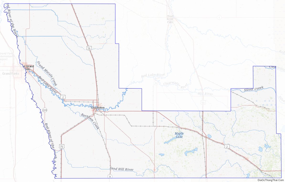
Polk County Road Map
Geography
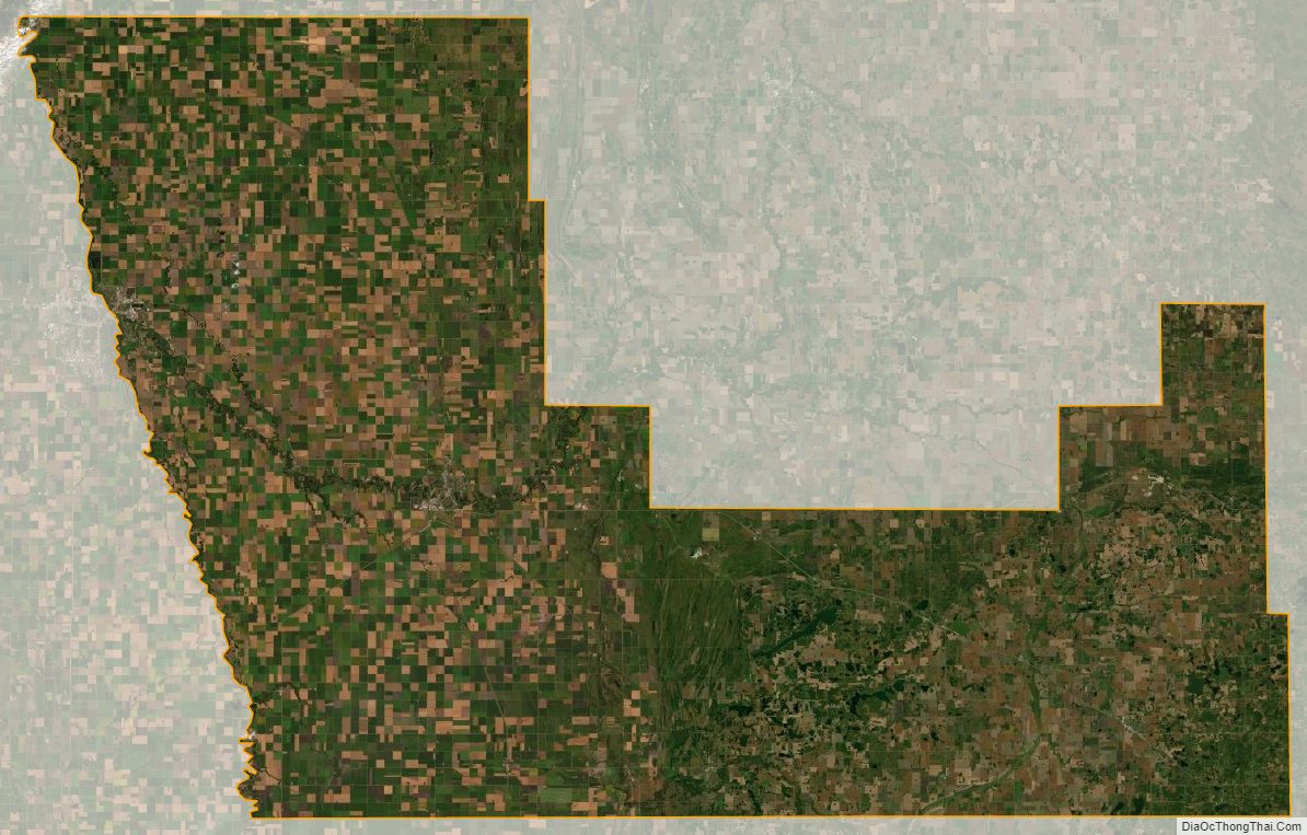
Polk County lies on Minnesota’s border with North Dakota (across the Red River). The Red Lake River flows west through the upper central part of the county, discharging into the Red at Grand Forks. The county terrain consists of low, rolling hills, devoted to agriculture. The county slopes to the west and north, with its highest point near its southeast corner, at 1,519 ft (463 m) above sea level. The county has an area of 1,998 square miles (5,170 km), of which 27 square miles (70 km) (1.3%) is covered by water.
USGS surveys show the county’s high point to be 1575 ft, 1 km south of U.S. 2, about 2 km east of Spring Lake, at 47.5197°N, 95.5906°W.
Major highways
- U.S. Highway 2
- U.S. Highway 59
- U.S. Highway 75
- Minnesota State Highway 9
- Minnesota State Highway 32
- Minnesota State Highway 92
- Minnesota State Highway 102
- Minnesota State Highway 220
- Polk County State-Aid Highway 21: This is the major connector between Grand Forks and Pennington County, and connects with Pennington County State-Aid Highway 3.
- Polk County State-Aid Highway 9: A major connector between Crookston and the south end of Grand Forks, it connects with Grand Forks County Road 7, and functions as a southside connector between US 75 and US 2 in Crookston.
- Polk County State-Aid Highways 11 & 46: US 2 Truck Bypass of Crookston
- Polk County State-Aid Highway 2: Designated and designed for heavy truck traffic connecting US 2 to Roseau County and Marshall County.
Adjacent counties
- Marshall County (north)
- Pennington County (northeast)
- Red Lake County (northeast)
- Clearwater County (east)
- Mahnomen County (southeast)
- Norman County (south)
- Traill County, North Dakota (southwest)
- Grand Forks County, North Dakota (west)
Protected areas
- Agassiz Dunes Scientific and Natural Area (part)
- Belgium State Wildlife Management Area
- Brandsvold State Wildlife Management Area
- Castor State Wildlife Management Area
- Enerson State Wildlife Management Area
- Erskine State Wildlife Management Area
- Glacial Ridge National Wildlife Refuge
- Gully Fen Scientific and Natural Area
- Hangaard State Wildlife Management Area
- Hasselton State Wildlife Management Area (part)
- Hill River State Wildlife Management Area
- Kroening State Wildlife Management Area
- Lavoi State Wildlife Management Area
- Lessor State Wildlife Management Area
- Mahgre State Wildlife Management Area
- Malmberg Prairie Scientific and Natural Area
- Pembina State Wildlife Management Area
- Polk State Wildlife Management Area
- Red River State Recreation Area (part)
- Red River Valley Natural History Area
- Rindahl State Wildlife Management Area
- Rydell National Wildlife Refuge
- Sand Hill Recreation Area
- Shypoke State Wildlife Management Area
- Stipa State Wildlife Management Area
Polk County Topographic Map
Polk County Satellite Map
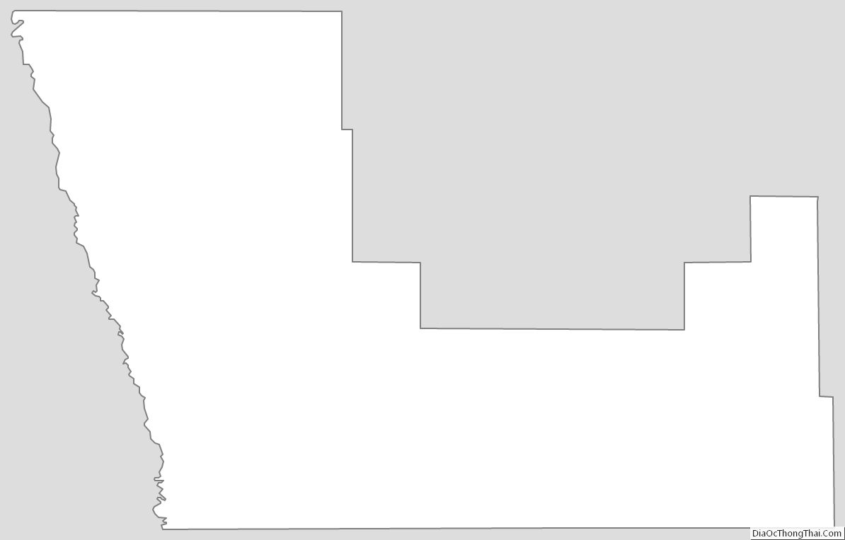
Polk County Outline Map
See also
Map of Minnesota State and its subdivision:- Aitkin
- Anoka
- Becker
- Beltrami
- Benton
- Big Stone
- Blue Earth
- Brown
- Carlton
- Carver
- Cass
- Chippewa
- Chisago
- Clay
- Clearwater
- Cook
- Cottonwood
- Crow Wing
- Dakota
- Dodge
- Douglas
- Faribault
- Fillmore
- Freeborn
- Goodhue
- Grant
- Hennepin
- Houston
- Hubbard
- Isanti
- Itasca
- Jackson
- Kanabec
- Kandiyohi
- Kittson
- Koochiching
- Lac qui Parle
- Lake
- Lake of the Woods
- Lake Superior
- Le Sueur
- Lincoln
- Lyon
- Mahnomen
- Marshall
- Martin
- McLeod
- Meeker
- Mille Lacs
- Morrison
- Mower
- Murray
- Nicollet
- Nobles
- Norman
- Olmsted
- Otter Tail
- Pennington
- Pine
- Pipestone
- Polk
- Pope
- Ramsey
- Red Lake
- Redwood
- Renville
- Rice
- Rock
- Roseau
- Saint Louis
- Scott
- Sherburne
- Sibley
- Stearns
- Steele
- Stevens
- Swift
- Todd
- Traverse
- Wabasha
- Wadena
- Waseca
- Washington
- Watonwan
- Wilkin
- Winona
- Wright
- Yellow Medicine
- Alabama
- Alaska
- Arizona
- Arkansas
- California
- Colorado
- Connecticut
- Delaware
- District of Columbia
- Florida
- Georgia
- Hawaii
- Idaho
- Illinois
- Indiana
- Iowa
- Kansas
- Kentucky
- Louisiana
- Maine
- Maryland
- Massachusetts
- Michigan
- Minnesota
- Mississippi
- Missouri
- Montana
- Nebraska
- Nevada
- New Hampshire
- New Jersey
- New Mexico
- New York
- North Carolina
- North Dakota
- Ohio
- Oklahoma
- Oregon
- Pennsylvania
- Rhode Island
- South Carolina
- South Dakota
- Tennessee
- Texas
- Utah
- Vermont
- Virginia
- Washington
- West Virginia
- Wisconsin
- Wyoming