Powell County is a county in the U.S. state of Montana. As of the 2020 census, the population was 6,946. Its county seat is Deer Lodge.
| Name: | Powell County |
|---|---|
| FIPS code: | 30-077 |
| State: | Montana |
| Founded: | February 2, 1901 |
| Named for: | Mount Powell, which was named in turn for John Wesley Powell |
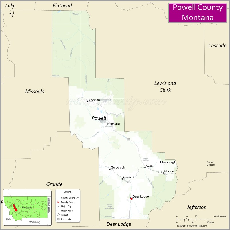
| Seat: | Deer Lodge |
| Largest city: | Deer Lodge |
| Total Area: | 2,333 sq mi (6,040 km²) |
| Land Area: | 2,326 sq mi (6,020 km²) |
| Total Population: | 6,946 |
| Population Density: | 3.0/sq mi (1.1/km²) |
| Time zone: | UTC−7 (Mountain) |
| Summer Time Zone (DST): | UTC−6 (MDT) |
| Website: | www.powellcountymt.gov/ez/index.php |
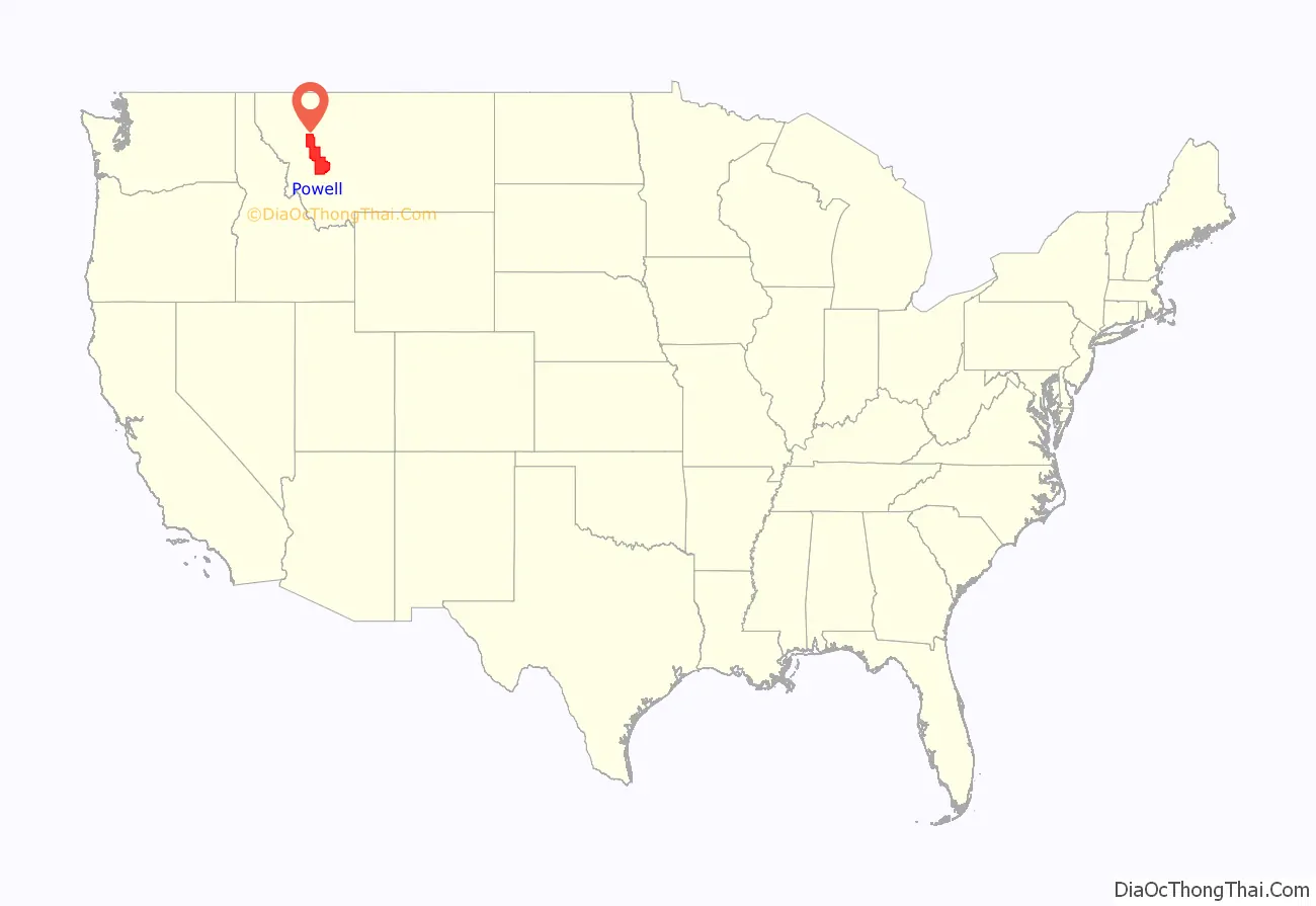
Powell County location map. Where is Powell County?
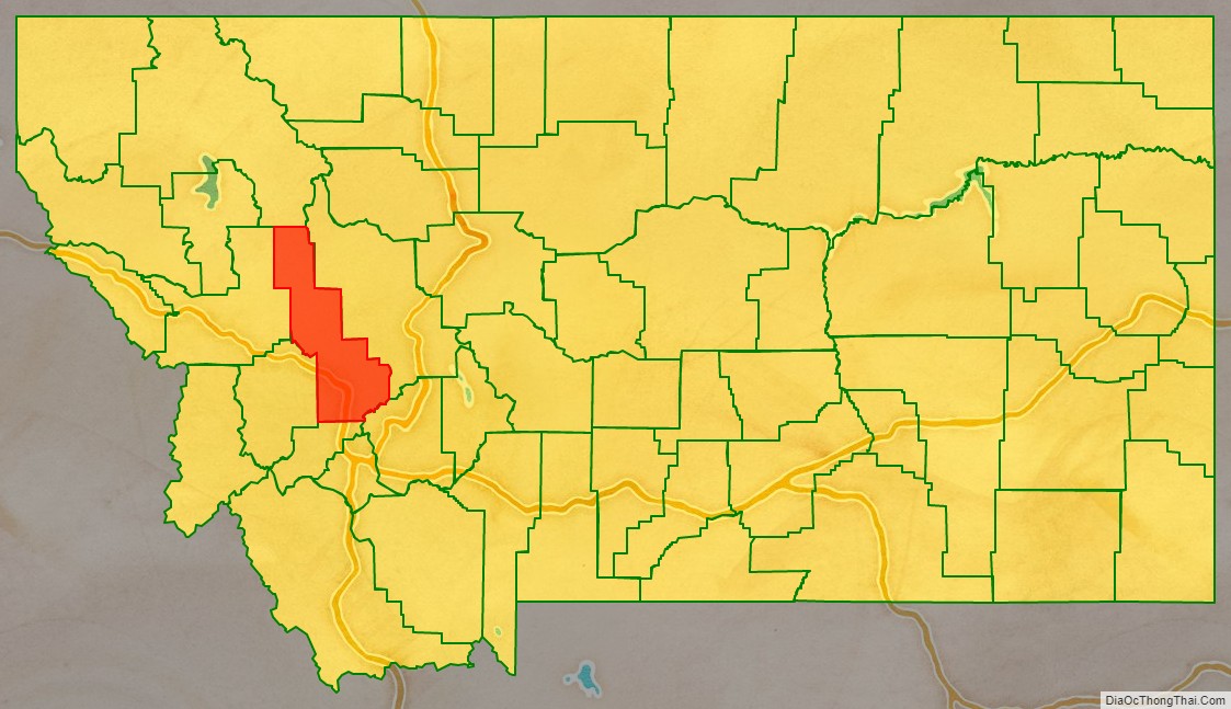
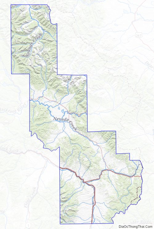
Powell County Road Map
Geography
According to the United States Census Bureau, the county has a total area of 2,332.7 square miles (6,042 km), of which 2,326.4 square miles (6,025 km) is land and 6.3 square miles (16 km) (0.3%) is water.
Major highways
- Interstate 90
- U.S. Route 10 (Former)
- U.S. Route 12
- Montana Highway 141
- Montana Highway 200
Adjacent counties
- Flathead County – north
- Lewis and Clark County – east
- Jefferson County – southeast
- Deer Lodge County – south
- Granite County – southwest
- Missoula County – west
National protected areas
- Beaverhead-Deerlodge National Forest (part)
- Flathead National Forest (part)
- Grant-Kohrs Ranch National Historic Site
- Helena National Forest (part)
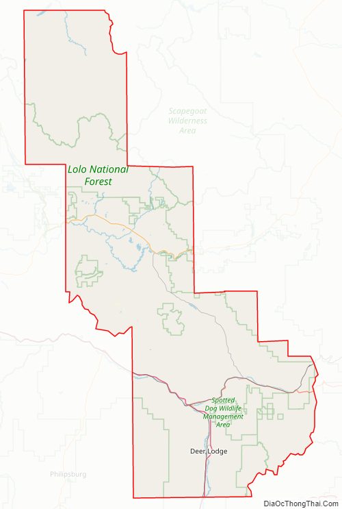
- Lolo National Forest (part)
- Bob Marshall Wilderness Area (part)
- Scapegoat Wilderness Area (part)
Powell County Topographic Map
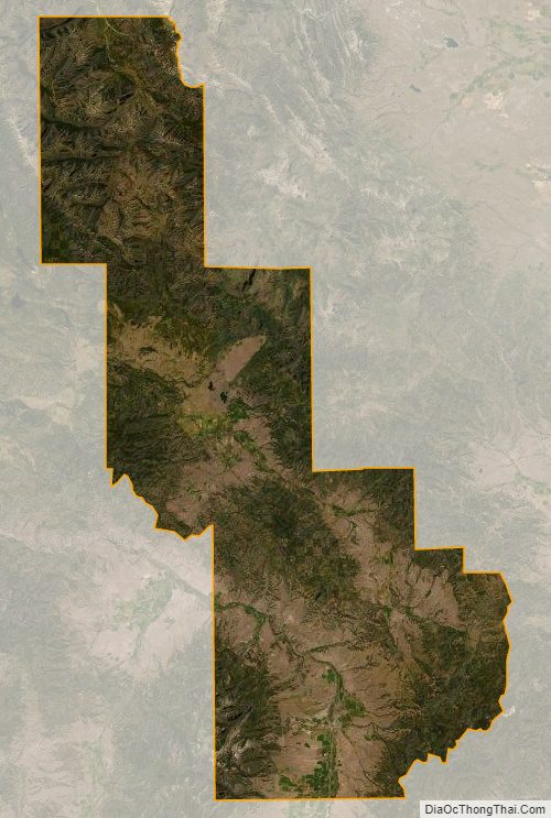
Powell County Satellite Map
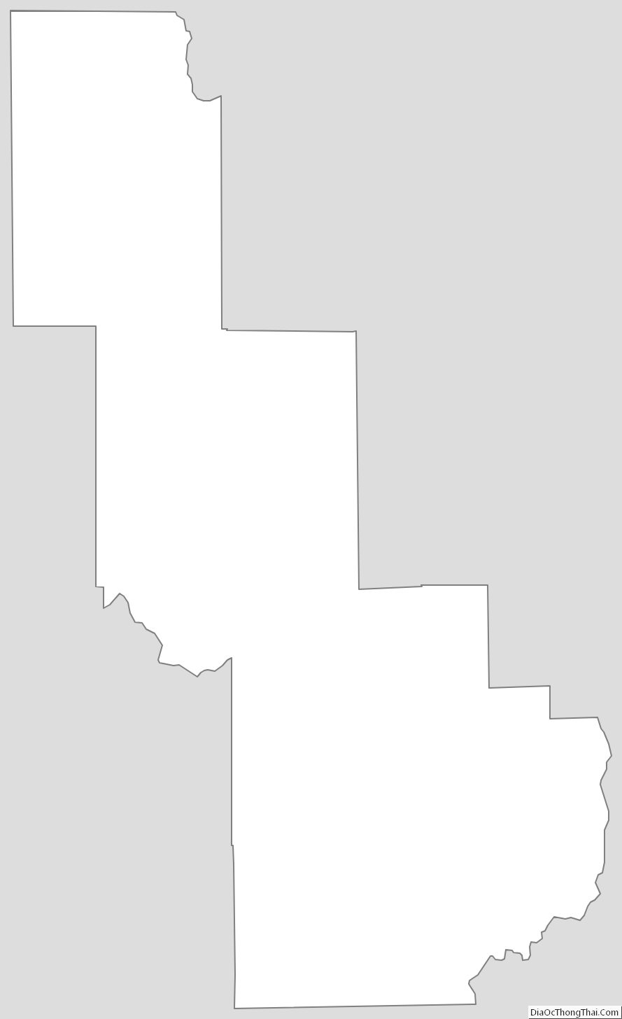
Powell County Outline Map
See also
Map of Montana State and its subdivision:- Beaverhead
- Big Horn
- Blaine
- Broadwater
- Carbon
- Carter
- Cascade
- Chouteau
- Custer
- Daniels
- Dawson
- Deer Lodge
- Fallon
- Fergus
- Flathead
- Gallatin
- Garfield
- Glacier
- Golden Valley
- Granite
- Hill
- Jefferson
- Judith Basin
- Lake
- Lewis and Clark
- Liberty
- Lincoln
- Madison
- McCone
- Meagher
- Mineral
- Missoula
- Musselshell
- Park
- Petroleum
- Phillips
- Pondera
- Powder River
- Powell
- Prairie
- Ravalli
- Richland
- Roosevelt
- Rosebud
- Sanders
- Sheridan
- Silver Bow
- Stillwater
- Sweet Grass
- Teton
- Toole
- Treasure
- Valley
- Wheatland
- Wibaux
- Yellowstone
- Alabama
- Alaska
- Arizona
- Arkansas
- California
- Colorado
- Connecticut
- Delaware
- District of Columbia
- Florida
- Georgia
- Hawaii
- Idaho
- Illinois
- Indiana
- Iowa
- Kansas
- Kentucky
- Louisiana
- Maine
- Maryland
- Massachusetts
- Michigan
- Minnesota
- Mississippi
- Missouri
- Montana
- Nebraska
- Nevada
- New Hampshire
- New Jersey
- New Mexico
- New York
- North Carolina
- North Dakota
- Ohio
- Oklahoma
- Oregon
- Pennsylvania
- Rhode Island
- South Carolina
- South Dakota
- Tennessee
- Texas
- Utah
- Vermont
- Virginia
- Washington
- West Virginia
- Wisconsin
- Wyoming