Preston County is a county located in the U.S. state of West Virginia. As of the 2020 Census, the population was 34,216. Its county seat is Kingwood. The county was formed from Monongalia County in 1818 and named for Virginia Governor James Patton Preston.
Preston County is part of the Morgantown, WV Metropolitan Statistical Area, and is the southernmost county of the Pittsburgh media market. It is the home of The Buckwheat Festival, a county fair known for making buckwheat pancakes.
| Name: | Preston County |
|---|---|
| FIPS code: | 54-077 |
| State: | West Virginia |
| Founded: | January 19, 1818 |
| Named for: | James Patton Preston |
| Seat: | Kingwood |
| Largest city: | Kingwood |
| Total Area: | 651 sq mi (1,690 km²) |
| Land Area: | 649 sq mi (1,680 km²) |
| Total Population: | 34,216 |
| Population Density: | 53/sq mi (20/km²) |
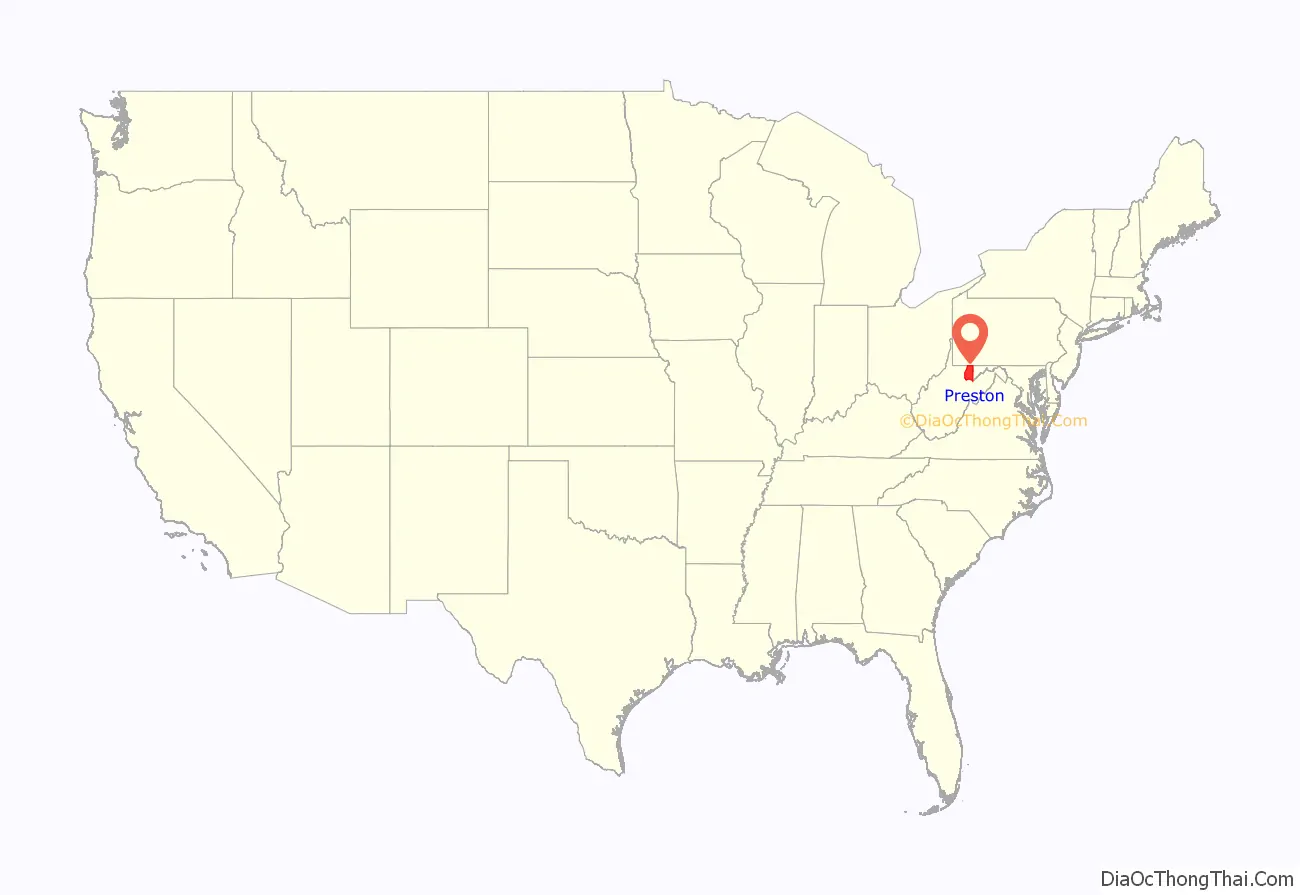
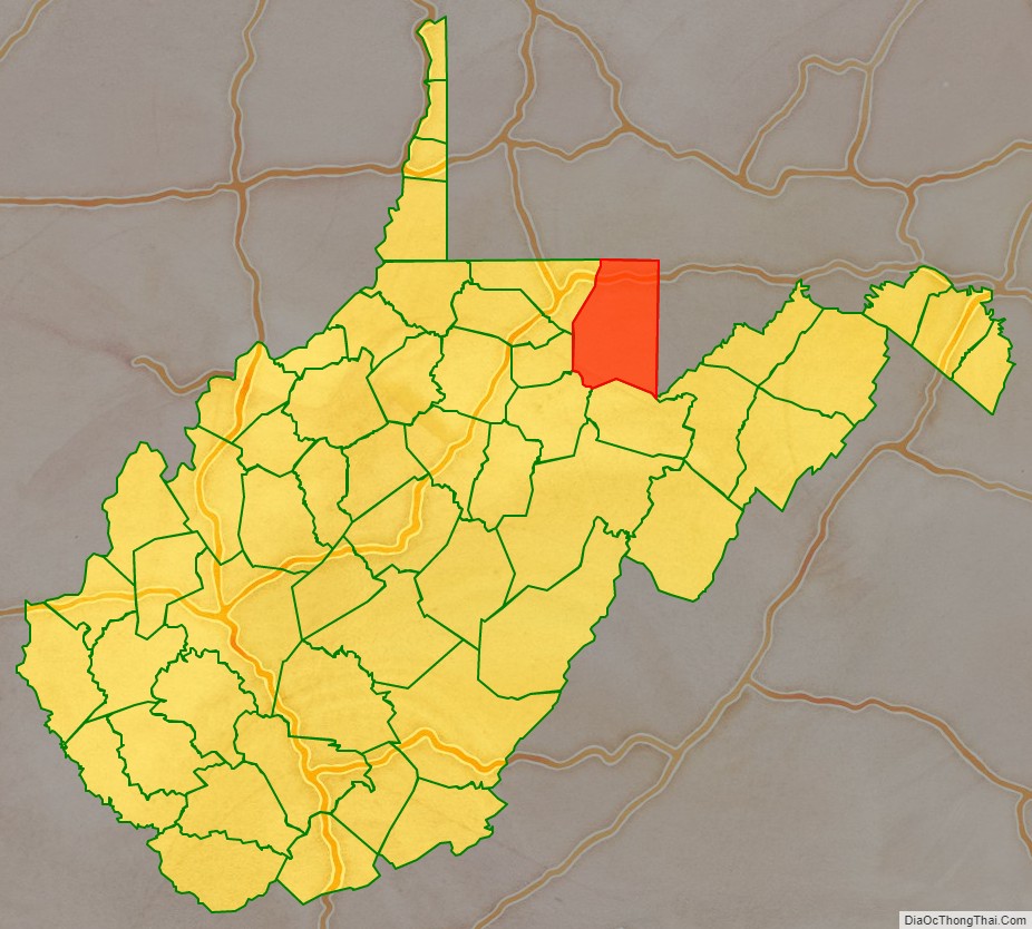
Preston County location map. Where is Preston County?
History
Native Americans lived in and traveled through what became Preston County as they crossed from the Ohio River watershed (which drains into the Mississippi River), into the Chesapeake Bay watershed. Although white traders and explorers also lived in the county after 1736, and one boundary stone (the Fairfax Stone marking the limits of the North Branch of the River) was laid in 1746, white settlers began arriving in 1766. Traveling by foot or horseback, settlers established log cabins after the American Revolutionary War. Further development ensued after 1818, when the National Road was built slightly to the north. When the earliest railroads came in 1851, all land passed into private ownership, population increased 70% in a decade, and industrialization began.
During the American Civil War, more Preston County men enlisted in Union service than with the Confederacy. There were few slave-holders in Preston County, and relatively few slaves, almost none outside a half-hour walk from the Clarksburg to Winchester road that dated back to the late colonial era. The census indicates that slavery’s high-water mark in Preston County occurred in 1830, when the county included 125 slaves, alongside 27 free colored persons.
On June 20, 1863, Preston was one of fifty Virginia counties that were admitted to the Union as the state of West Virginia. Later that year, the counties were divided into civil townships, with the intention of encouraging local government. This proved impractical in the heavily rural state, and in 1872 the townships were converted into magisterial districts. Preston County was divided into eight districts: Grant, Kingwood, Lyon, Pleasant, Portland, Reno, Union, and Valley. These remained largely unchanged until the 1990s, when they were consolidated into five new magisterial districts: First, Second, Third, Fourth, and Fifth.
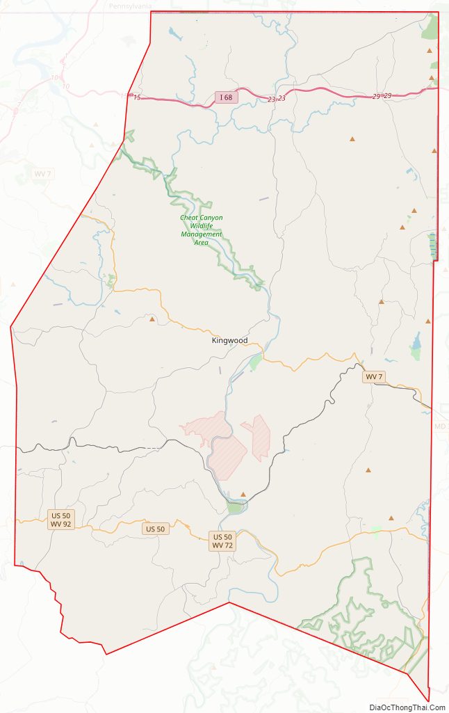
Preston County Road Map
Geography
According to the United States Census Bureau, the county has a total area of 651 square miles (1,690 km), of which 649 square miles (1,680 km) is land and 2.6 square miles (6.7 km) (0.4%) is water.
In West Virginia’s coldest month of January 1977, Terra Alta in Preston County saw a statewide record snowfall of 104 inches (2.64 m).
Major highways
- Interstate 68
- U.S. Highway 50
- U.S. Route 219
- West Virginia Route 7
- West Virginia Route 24
- West Virginia Route 26
- West Virginia Route 72
- West Virginia Route 92
Adjacent counties
- Fayette County, Pennsylvania (north)
- Garrett County, Maryland (east)
- Tucker County (south)
- Barbour County (southwest)
- Taylor County (west)
- Monongalia County (northwest)
- Grant County (southeast)
National protected area
- Monongahela National Forest (part)
State parks
- Cathedral State Park (also a Registered National Natural Landmark)
- Fairfax Stone State Park
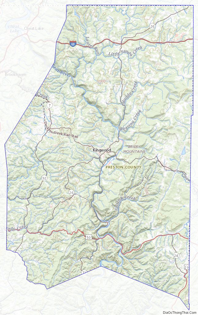
Preston County Topographic Map
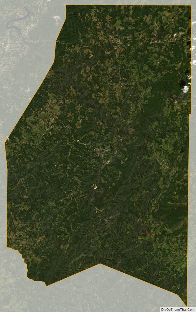
Preston County Satellite Map
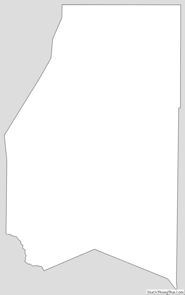
Preston County Outline Map
See also
Map of West Virginia State and its subdivision:- Barbour
- Berkeley
- Boone
- Braxton
- Brooke
- Cabell
- Calhoun
- Clay
- Doddridge
- Fayette
- Gilmer
- Grant
- Greenbrier
- Hampshire
- Hancock
- Hardy
- Harrison
- Jackson
- Jefferson
- Kanawha
- Lewis
- Lincoln
- Logan
- Marion
- Marshall
- Mason
- McDowell
- Mercer
- Mineral
- Mingo
- Monongalia
- Monroe
- Morgan
- Nicholas
- Ohio
- Pendleton
- Pleasants
- Pocahontas
- Preston
- Putnam
- Raleigh
- Randolph
- Ritchie
- Roane
- Summers
- Taylor
- Tucker
- Tyler
- Upshur
- Wayne
- Webster
- Wetzel
- Wirt
- Wood
- Wyoming
- Alabama
- Alaska
- Arizona
- Arkansas
- California
- Colorado
- Connecticut
- Delaware
- District of Columbia
- Florida
- Georgia
- Hawaii
- Idaho
- Illinois
- Indiana
- Iowa
- Kansas
- Kentucky
- Louisiana
- Maine
- Maryland
- Massachusetts
- Michigan
- Minnesota
- Mississippi
- Missouri
- Montana
- Nebraska
- Nevada
- New Hampshire
- New Jersey
- New Mexico
- New York
- North Carolina
- North Dakota
- Ohio
- Oklahoma
- Oregon
- Pennsylvania
- Rhode Island
- South Carolina
- South Dakota
- Tennessee
- Texas
- Utah
- Vermont
- Virginia
- Washington
- West Virginia
- Wisconsin
- Wyoming