| Name: | Price County |
|---|---|
| FIPS code: | 55-099 |
| State: | Wisconsin |
| Founded: | 1882 |
| Named for: | William T. Price |
| Seat: | Phillips |
| Largest city: | Park Falls |
| Total Area: | 1,278 sq mi (3,310 km²) |
| Land Area: | 1,254 sq mi (3,250 km²) |
| Total Population: | 14,054 |
| Population Density: | 11.2/sq mi (4.3/km²) |
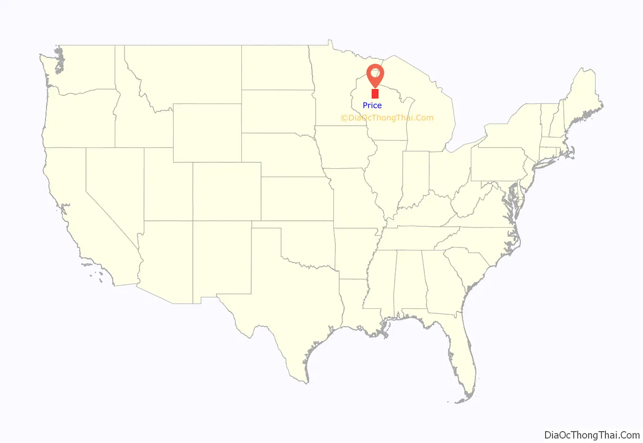
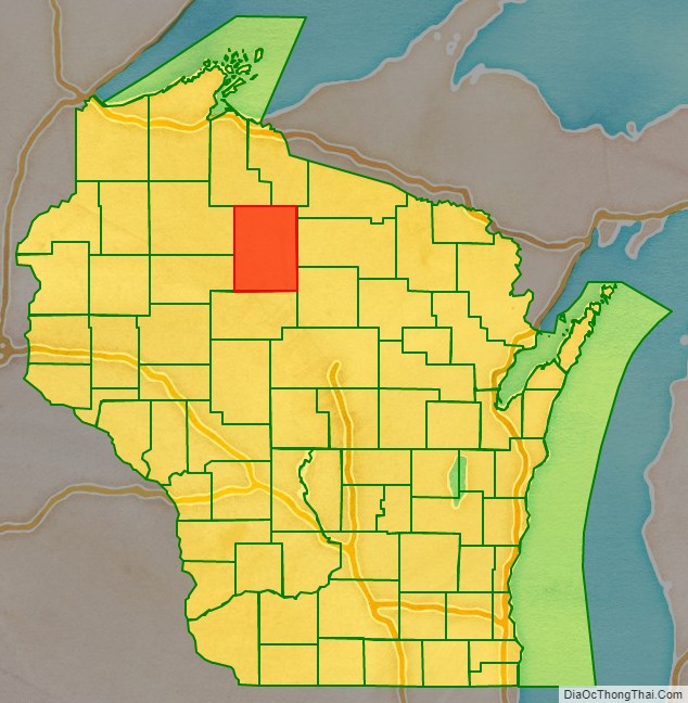
Price County location map. Where is Price County?
History
Price County was created on March 3, 1879, when Wisconsin Governor William E. Smith signed legislation creating the county. The county was later organized in 1882. William T. Price (1824–1886), for whom Price County was named, was President of the Wisconsin Senate and an early logger in Price County; he later was elected to the U.S. Congress. The county was formed from portions of Chippewa and Lincoln counties.
The first white settler in what is now Price County was Major Isaac Stone, who located on the Spirit River in 1860 to engage in lumbering. Price County continues today to be a large producer of raw timber.
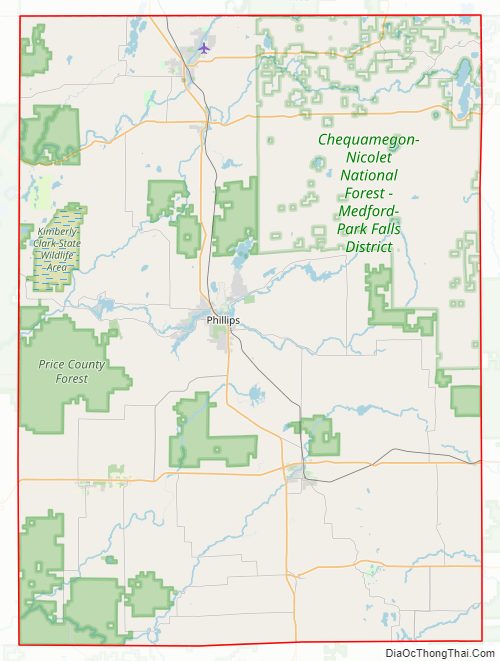
Price County Road Map
Geography
According to the U.S. Census Bureau, the county has a total area of 1,278 square miles (3,310 km), of which 1,254 square miles (3,250 km) is land and 24 square miles (62 km) (1.9%) is water. The highest natural point in Wisconsin, Timms Hill at 1,951 feet (595 m), is located in Price County.
Adjacent counties
- Ashland – northwest
- Iron – northeast
- Lincoln – southeast
- Oneida – east
- Rusk – west
- Sawyer – west
- Taylor – south
- Vilas – northeast
Major highways
- U.S. Highway 8
- Highway 13 (Wisconsin)
- Highway 70 (Wisconsin)
- Highway 86 (Wisconsin)
- Highway 102 (Wisconsin)
- Highway 111 (Wisconsin)
- Highway 182 (Wisconsin)
Railroads
- Watco
Buses
- Bay Area Rural Transit
- List of intercity bus stops in Wisconsin
Airports
- KPBH – Price County Airport
- KPKF – Park Falls Municipal Airport
- 5N2 – Prentice Airport
National protected area
- Chequamegon National Forest (part)
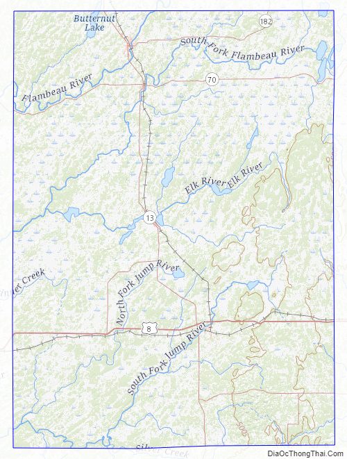
Price County Topographic Map
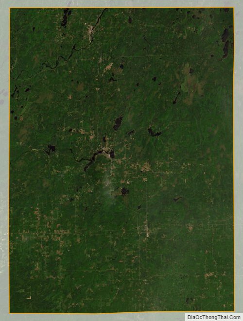
Price County Satellite Map
Price County Outline Map

See also
Map of Wisconsin State and its subdivision:- Adams
- Ashland
- Barron
- Bayfield
- Brown
- Buffalo
- Burnett
- Calumet
- Chippewa
- Clark
- Columbia
- Crawford
- Dane
- Dodge
- Door
- Douglas
- Dunn
- Eau Claire
- Florence
- Fond du Lac
- Forest
- Grant
- Green
- Green Lake
- Iowa
- Iron
- Jackson
- Jefferson
- Juneau
- Kenosha
- Kewaunee
- La Crosse
- Lafayette
- Lake Michigan
- Lake Superior
- Langlade
- Lincoln
- Manitowoc
- Marathon
- Marinette
- Marquette
- Menominee
- Milwaukee
- Monroe
- Oconto
- Oneida
- Outagamie
- Ozaukee
- Pepin
- Pierce
- Polk
- Portage
- Price
- Racine
- Richland
- Rock
- Rusk
- Saint Croix
- Sauk
- Sawyer
- Shawano
- Sheboygan
- Taylor
- Trempealeau
- Vernon
- Vilas
- Walworth
- Washburn
- Washington
- Waukesha
- Waupaca
- Waushara
- Winnebago
- Wood
- Alabama
- Alaska
- Arizona
- Arkansas
- California
- Colorado
- Connecticut
- Delaware
- District of Columbia
- Florida
- Georgia
- Hawaii
- Idaho
- Illinois
- Indiana
- Iowa
- Kansas
- Kentucky
- Louisiana
- Maine
- Maryland
- Massachusetts
- Michigan
- Minnesota
- Mississippi
- Missouri
- Montana
- Nebraska
- Nevada
- New Hampshire
- New Jersey
- New Mexico
- New York
- North Carolina
- North Dakota
- Ohio
- Oklahoma
- Oregon
- Pennsylvania
- Rhode Island
- South Carolina
- South Dakota
- Tennessee
- Texas
- Utah
- Vermont
- Virginia
- Washington
- West Virginia
- Wisconsin
- Wyoming