Quay County (/ˈkweɪ/) is a county in the state of New Mexico. As of the 2010 census, the population was 9,041. Its county seat is Tucumcari. The county was named for Pennsylvania senator Matthew Quay, who supported statehood for New Mexico. Its eastern border is the Texas state line, approximately 103.04 degrees west longitude.
| Name: | Quay County |
|---|---|
| FIPS code: | 35-037 |
| State: | New Mexico |
| Founded: | February 28, 1903 |
| Named for: | Matthew Quay |
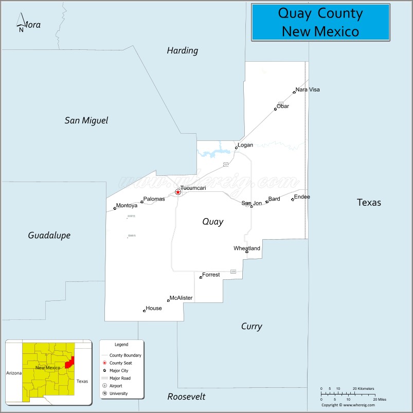
| Seat: | Tucumcari |
| Largest city: | Tucumcari |
| Total Area: | 2,882 sq mi (7,460 km²) |
| Land Area: | 2,874 sq mi (7,440 km²) |
| Total Population: | 8,656 |
| Population Density: | 3.1/sq mi (1.2/km²) |
| Website: | quaycounty-nm.gov |
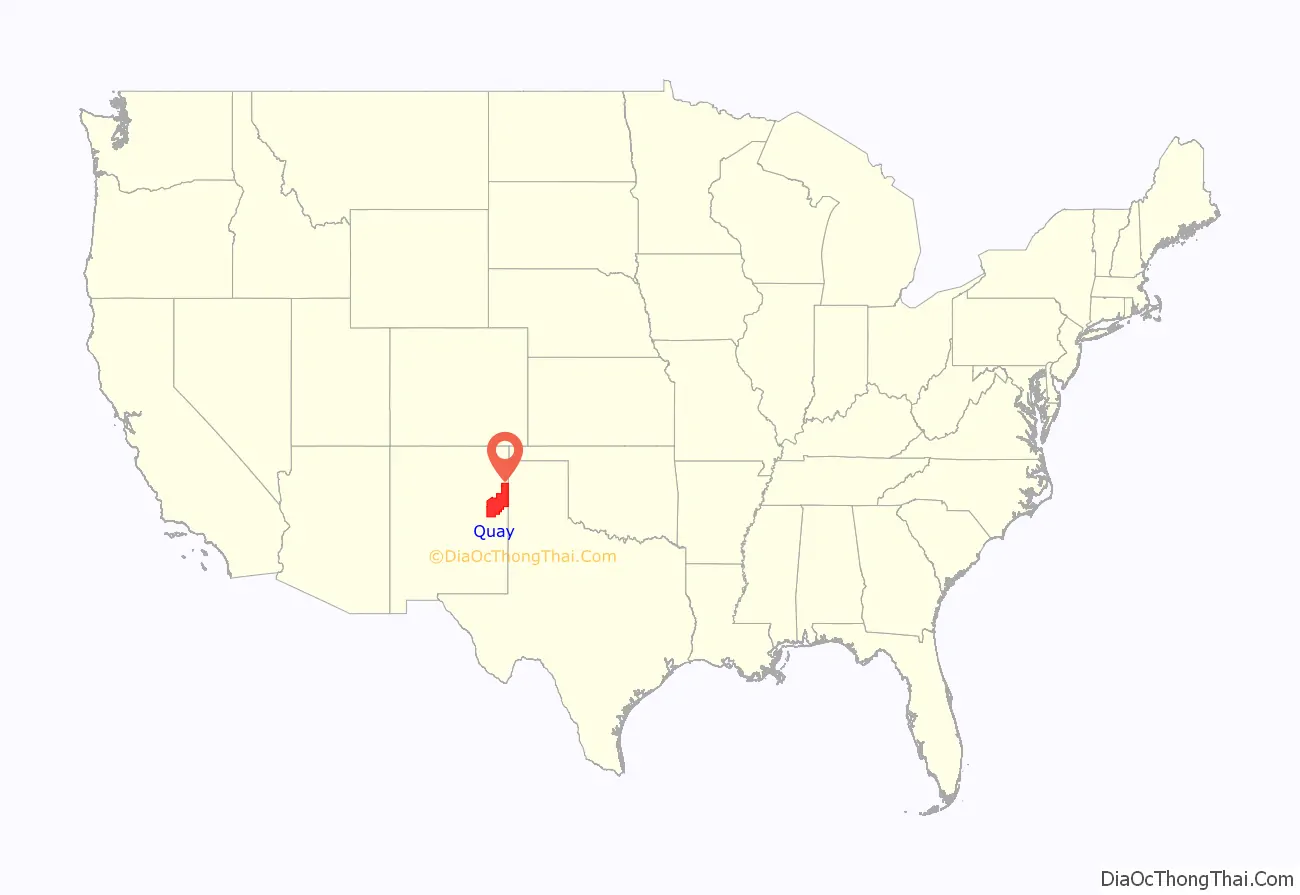
Quay County location map. Where is Quay County?
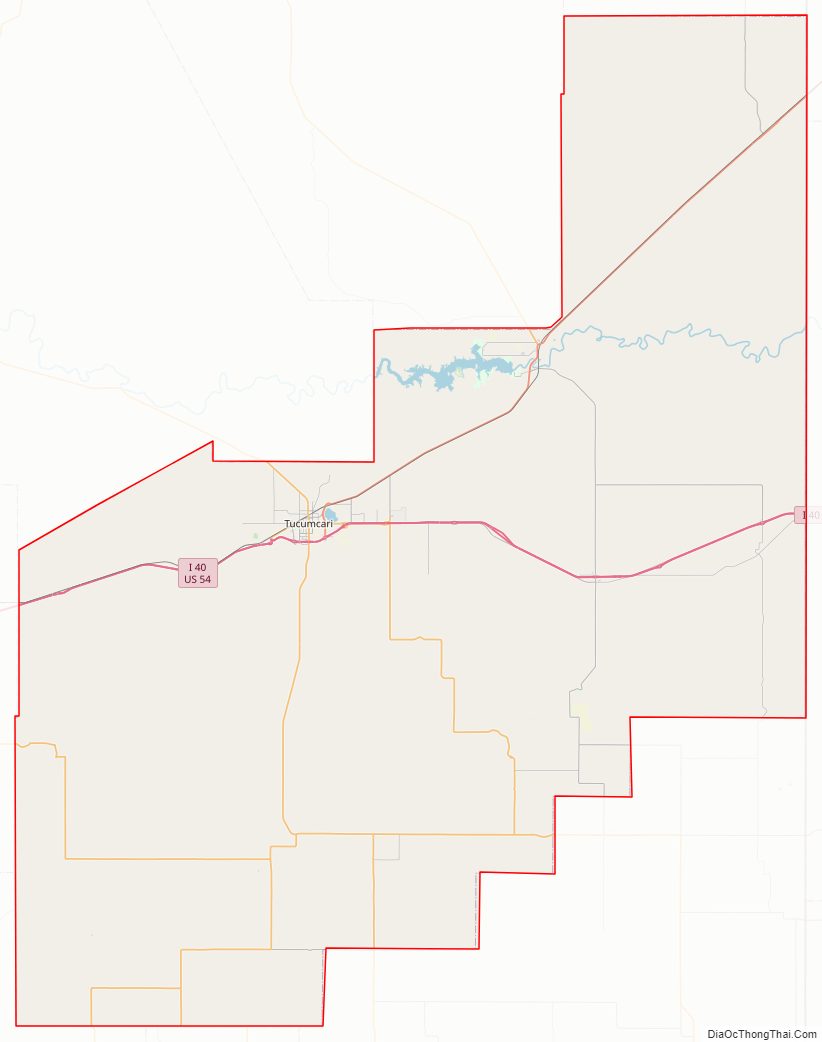
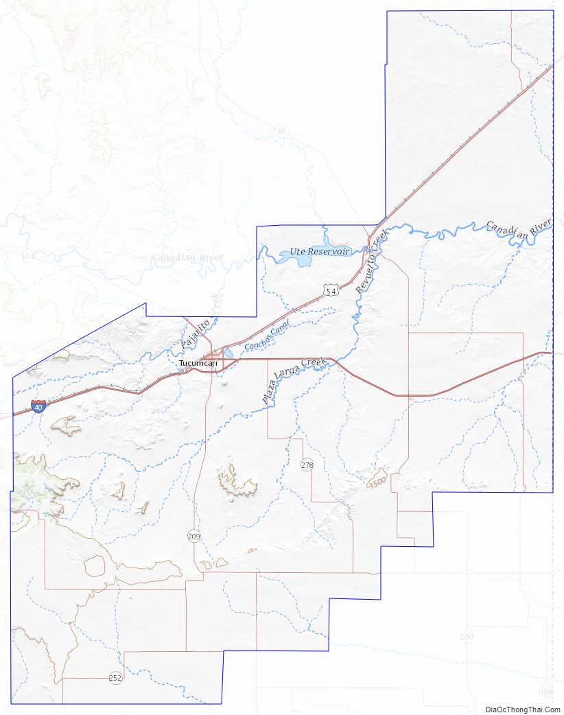
Quay County Road Map
Geography
According to the U.S. Census Bureau, the county has a total area of 2,882 square miles (7,460 km), of which 2,874 square miles (7,440 km) is land and 7.2 square miles (19 km) (0.3%) is water.
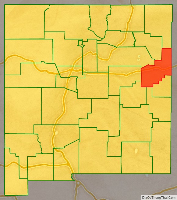
Adjacent counties
- Union County – north
- Harding County – northwest
- San Miguel County – west
- Guadalupe County – west
- De Baca County – southwest
- Roosevelt County – south
- Curry County – south
- Deaf Smith County, Texas – southeast
- Oldham County, Texas – east
- Hartley County, Texas – northeast
Quay County Topographic Map
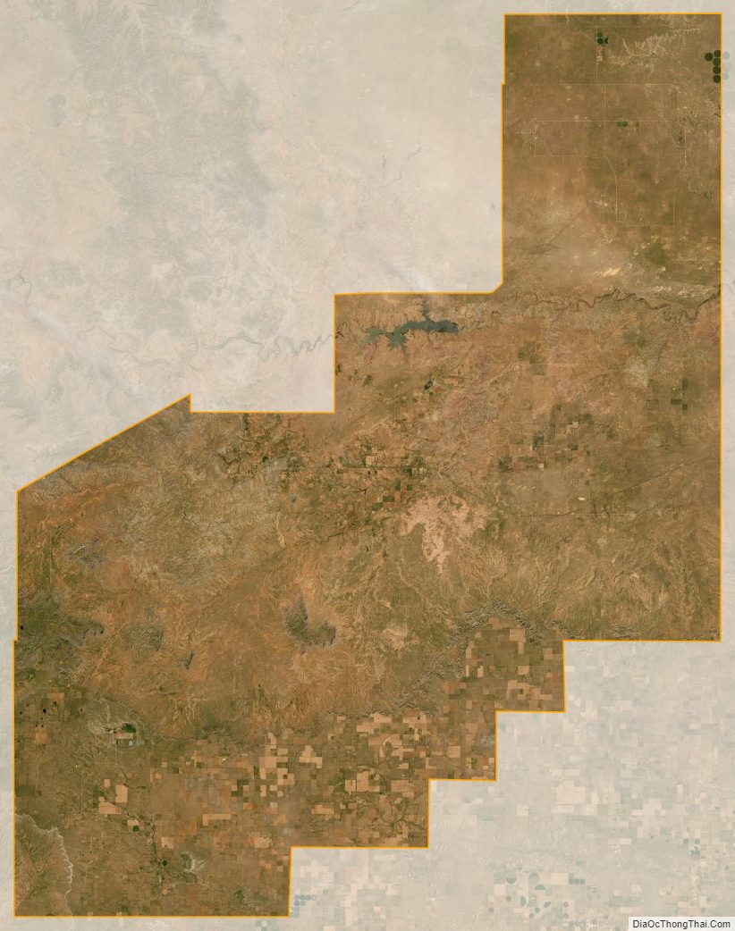
Quay County Satellite Map
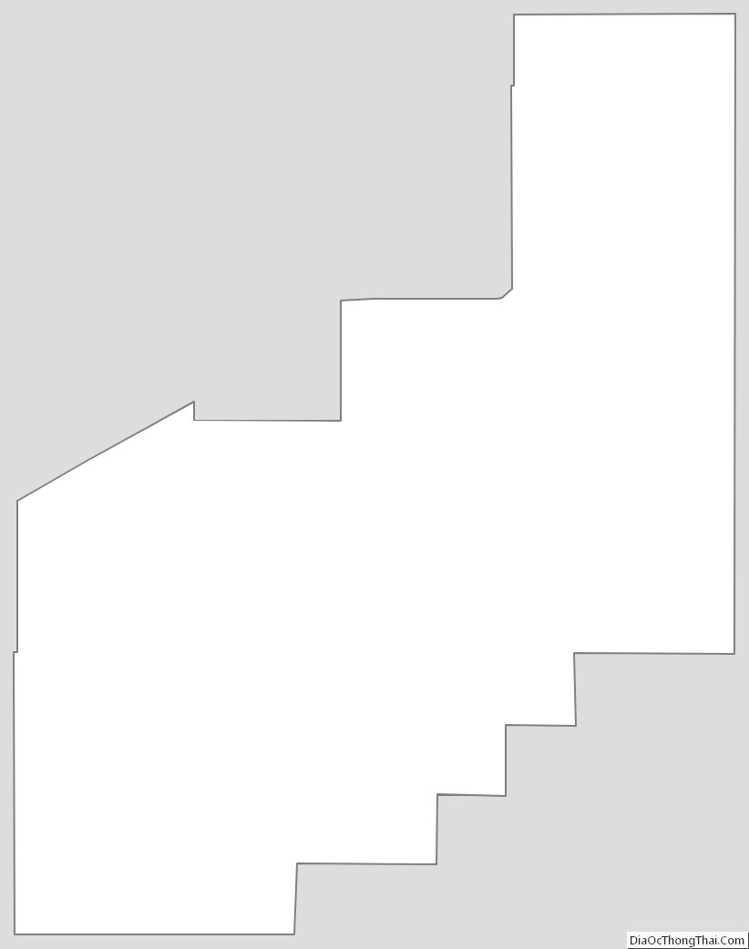
Quay County Outline Map
See also
Map of New Mexico State and its subdivision: Map of other states:- Alabama
- Alaska
- Arizona
- Arkansas
- California
- Colorado
- Connecticut
- Delaware
- District of Columbia
- Florida
- Georgia
- Hawaii
- Idaho
- Illinois
- Indiana
- Iowa
- Kansas
- Kentucky
- Louisiana
- Maine
- Maryland
- Massachusetts
- Michigan
- Minnesota
- Mississippi
- Missouri
- Montana
- Nebraska
- Nevada
- New Hampshire
- New Jersey
- New Mexico
- New York
- North Carolina
- North Dakota
- Ohio
- Oklahoma
- Oregon
- Pennsylvania
- Rhode Island
- South Carolina
- South Dakota
- Tennessee
- Texas
- Utah
- Vermont
- Virginia
- Washington
- West Virginia
- Wisconsin
- Wyoming