Randolph County is a county on the central eastern border of the U.S. state of Alabama. As of the 2020 census, the population was 21,967. Its county seat is Wedowee. Its name is in honor of John Randolph, a member of the United States Senate from Virginia. Randolph County was a prohibition or dry county until 2012, when the citizens of Randolph County voted to repeal prohibition.
| Name: | Randolph County |
|---|---|
| FIPS code: | 01-111 |
| State: | Alabama |
| Founded: | December 18, 1832 |
| Named for: | John Randolph of Roanoke |
| Seat: | Wedowee |
| Largest city: | Roanoke |
| Total Area: | 584 sq mi (1,510 km²) |
| Land Area: | 581 sq mi (1,500 km²) |
| Total Population: | 21,967 |
| Population Density: | 38/sq mi (15/km²) |
| Time zone: | UTC−6 (Central) |
| Summer Time Zone (DST): | UTC−5 (CDT) |
| Website: | randolphcountyalabama.gov |
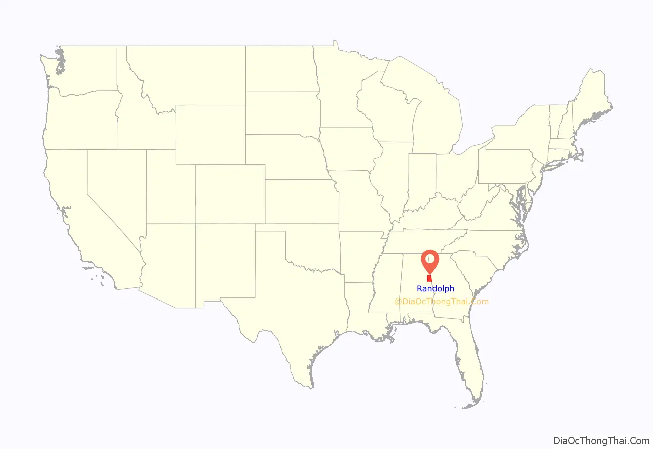
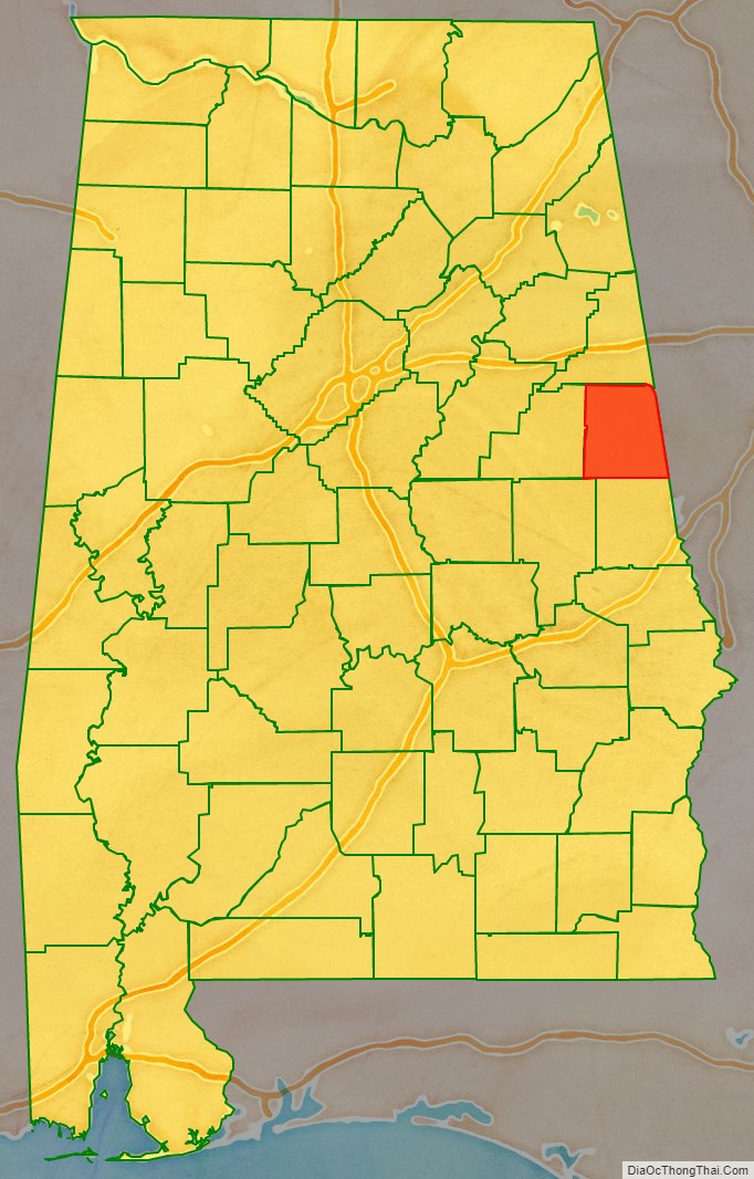
Randolph County location map. Where is Randolph County?
History
Randolph County was established by the Alabama Legislature on December 18, 1832, following Indian Removal of the Creek people. It was named in honor of John Randolph, a well-known Virginia congressman. Randolph County was one of several counties created out of the last Creek cession formulated by the Treaty of Cusseta, on March 24, 1832. It lies within the Piedmont region, which extends from Alabama to Pennsylvania.
The first white settlers said the county had an abundance of the “purest and coldest freestone water in the world.” The area was also noted for its gentle rolling hills. The first county seat for Randolph County was established in 1833 at Hedgeman Triplett’s Ferry on the west bank of the Big Tallapoosa River, about 10 miles (16 km) west of Wedowee, Alabama.
In 1835 (2 years later), the county seat was moved by the commissioners to nearby Wedowee. This city lies in the center of Randolph County, on a fork of the Little Tallapoosa River. Wedowee was named after a Creek tribal chief “Wah-wah-nee” (or “Wah-dow-wee”) of a village here. The European-American town was developed near that site after the Creek were forced out.
The county was developed for agriculture, specifically cotton plantations, which were worked by African-American slaves brought by migrants to the region or transported from the Upper South during the domestic slave trade. It was adjacent to what became known as the Black Belt of Alabama, an area of plantation development in the uplands, where short-staple cotton was cultivated. Many African Americans stayed in the area as sharecroppers and tenant farmers after the Civil War, but left for other opportunities during the first half of the 20th century. The table below shows population declines from 1920 to 1970, reflecting this demographic change. In 2010 some 20 percent of the population was African American, reflecting this history of cotton agriculture.
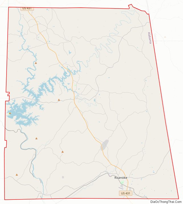
Randolph County Road Map

Geography
According to the United States Census Bureau, the county has a total area of 584 square miles (1,510 km), of which 581 square miles (1,500 km) is land and 3.6 square miles (9.3 km) (0.6%) is water.
Adjacent counties
- Cleburne County – north
- Carroll County, Georgia – northeast
- Heard County, Georgia – east
- Troup County, Georgia – southeast
- Chambers County – south
- Tallapoosa County – southwest
- Clay County – west
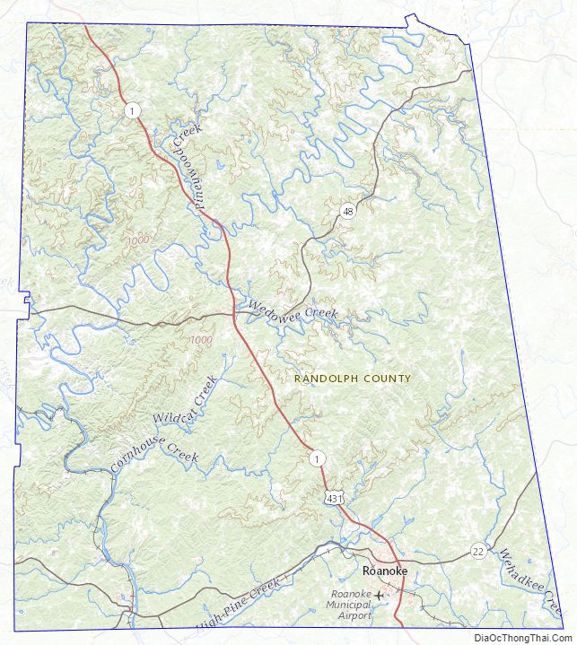
Randolph County Topographic Map
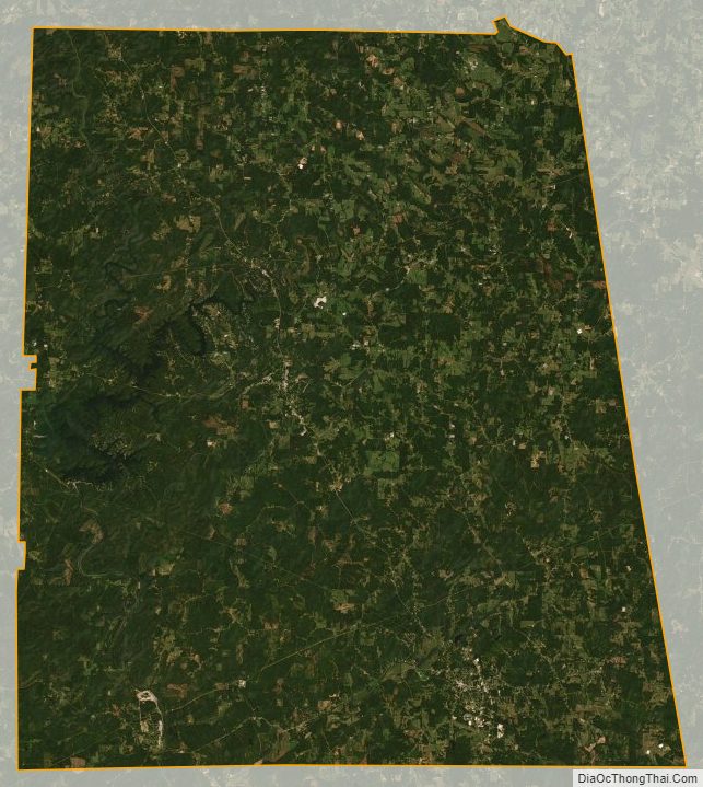
Randolph County Satellite Map
Randolph County Outline Map

See also
Map of Alabama State and its subdivision:- Autauga
- Baldwin
- Barbour
- Bibb
- Blount
- Bullock
- Butler
- Calhoun
- Chambers
- Cherokee
- Chilton
- Choctaw
- Clarke
- Clay
- Cleburne
- Coffee
- Colbert
- Conecuh
- Coosa
- Covington
- Crenshaw
- Cullman
- Dale
- Dallas
- De Kalb
- Elmore
- Escambia
- Etowah
- Fayette
- Franklin
- Geneva
- Greene
- Hale
- Henry
- Houston
- Jackson
- Jefferson
- Lamar
- Lauderdale
- Lawrence
- Lee
- Limestone
- Lowndes
- Macon
- Madison
- Marengo
- Marion
- Marshall
- Mobile
- Monroe
- Montgomery
- Morgan
- Perry
- Pickens
- Pike
- Randolph
- Russell
- Saint Clair
- Shelby
- Sumter
- Talladega
- Tallapoosa
- Tuscaloosa
- Walker
- Washington
- Wilcox
- Winston
- Alabama
- Alaska
- Arizona
- Arkansas
- California
- Colorado
- Connecticut
- Delaware
- District of Columbia
- Florida
- Georgia
- Hawaii
- Idaho
- Illinois
- Indiana
- Iowa
- Kansas
- Kentucky
- Louisiana
- Maine
- Maryland
- Massachusetts
- Michigan
- Minnesota
- Mississippi
- Missouri
- Montana
- Nebraska
- Nevada
- New Hampshire
- New Jersey
- New Mexico
- New York
- North Carolina
- North Dakota
- Ohio
- Oklahoma
- Oregon
- Pennsylvania
- Rhode Island
- South Carolina
- South Dakota
- Tennessee
- Texas
- Utah
- Vermont
- Virginia
- Washington
- West Virginia
- Wisconsin
- Wyoming