| Name: | Reagan County |
|---|---|
| FIPS code: | 48-383 |
| State: | Texas |
| Founded: | 1903 |
| Named for: | John Henninger Reagan |
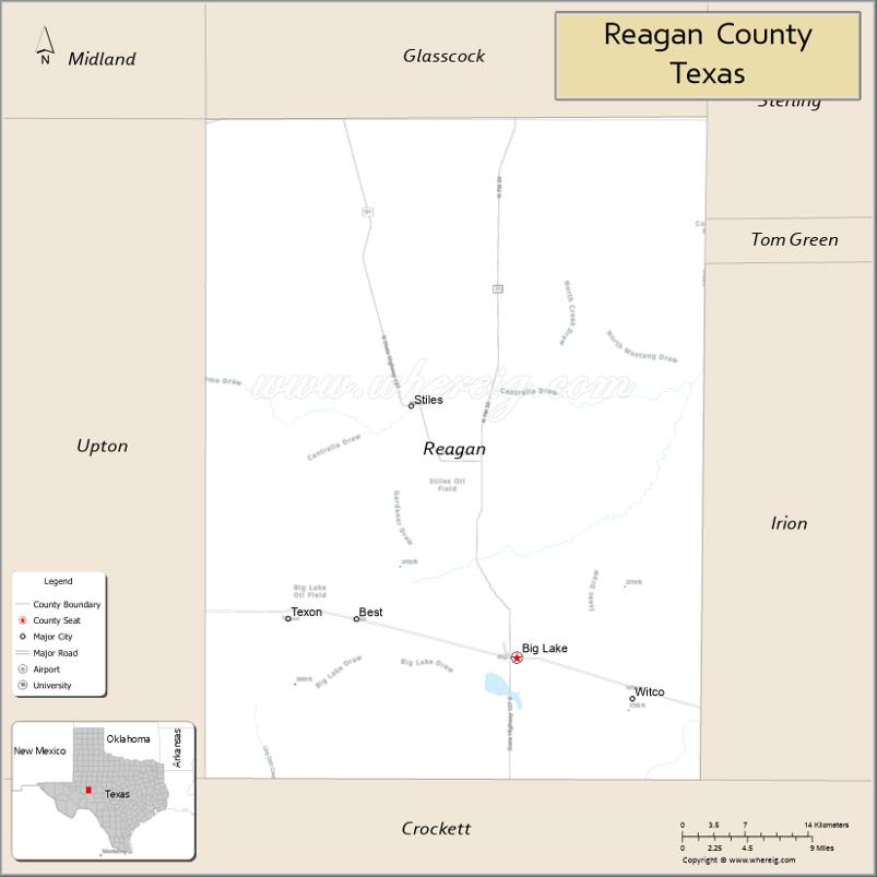
| Seat: | Big Lake |
| Largest city: | Big Lake |
| Total Area: | 1,176 sq mi (3,050 km²) |
| Land Area: | 1,175 sq mi (3,040 km²) |
| Total Population: | 3,385 |
| Population Density: | 2.9/sq mi (1.1/km²) |
| Time zone: | UTC−6 (Central) |
| Summer Time Zone (DST): | UTC−5 (CDT) |
| Website: | www.reagancountytexas.us |
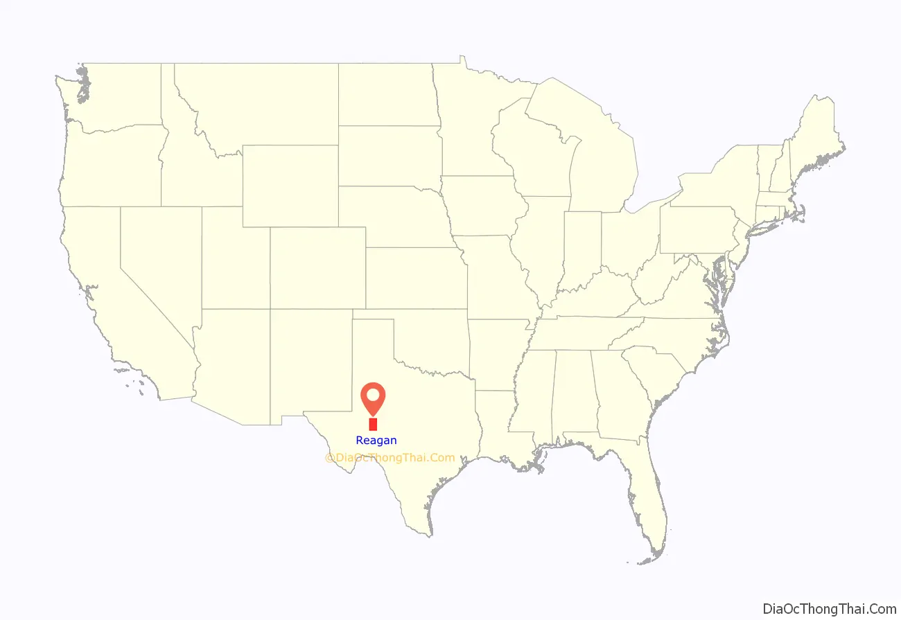
Reagan County location map. Where is Reagan County?
History
The region was first inhabited by Paleo-Indian, Suma-Jumano, Kiowa and Comanche peoples. Captains Hernán Martín and Diego del Castillo explored the region in 1650.In 1684, Juan Domínguez de Mendoza and Nicolás López reported on local indigenous groups.
Butterfield Overland Mail, which operated from 1858 to 1861, crossed through the center of the county. In 1878, Camp Grierson’s Spring was established as a subpost of Fort Concho and named in honor of Col. Benjamin H. Grierson.
In 1903, Reagan County was carved from Tom Green County and named for United States Senator John Henninger Reagan. Stiles, named after local rancher William G. Stiles, became the first county seat. The Kansas City, Mexico and Orient of Texas Railway was completed in 1911.
In 1923, oil was discovered at the Big Lake Oilfield in the Permian Basin. Big Lake Oilfield, located on University of Texas System land, opened the Permian Basin to oil production and endowed the Permanent University Fund. The rig was named Santa Rita #1 for The Patron Saint of the Impossible. Big Lake was incorporated as a city. In 1924, shortly after the oil boom, the town community of Best plunged into vice and violence, necessitating the intervention of the Texas Rangers. The Rangers destroyed buildings that were being used as brothels, gambling houses, and saloons.In 1925, the county seat was moved to Big Lake by a vote. The following year, the Big Lake Oil Company established Texon for its employees and their families, with a devotion to family life.
In 1951, there was a renewed oil boom from production in the Spraberry Trend.
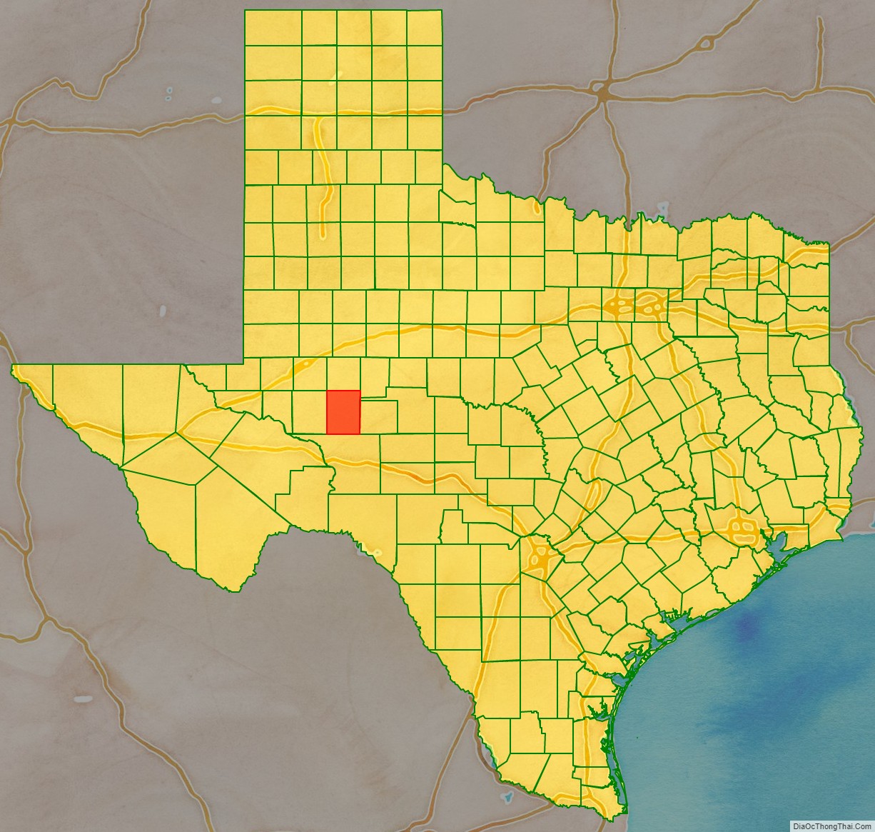
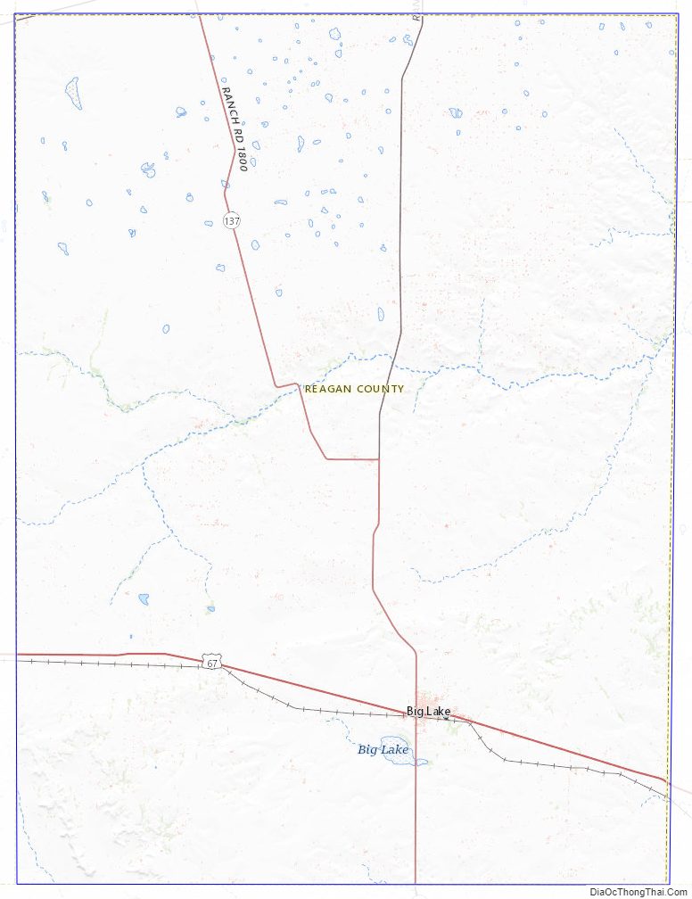
Reagan County Road Map
Geography
According to the U.S. Census Bureau, the county has a total area of 1,176 square miles (3,050 km), of which 1,175 square miles (3,040 km) are land and 0.7 square miles (1.8 km) (0.06%) is covered by water. The Spraberry Trend, the third-largest oil field in the United States by remaining reserves, underlies much of the county.
Major highways
- U.S. Highway 67
- State Highway 137
- Ranch to Market Road 33
Adjacent counties
- Glasscock County (north)
- Sterling County (northeast)
- Tom Green County (east)
- Irion County (east)
- Crockett County (south)
- Upton County (west)
- Midland County (northwest)
Reagan County Topographic Map
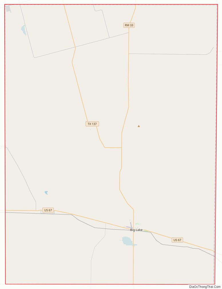
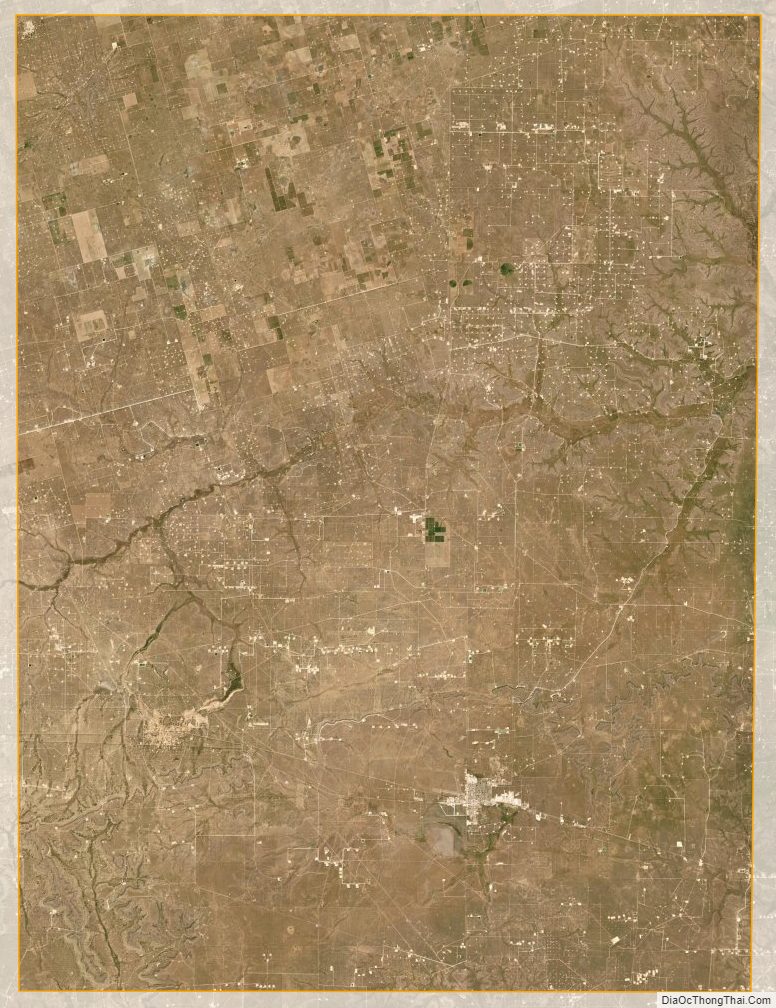
Reagan County Satellite Map
Reagan County Outline Map

See also
Map of Texas State and its subdivision:- Anderson
- Andrews
- Angelina
- Aransas
- Archer
- Armstrong
- Atascosa
- Austin
- Bailey
- Bandera
- Bastrop
- Baylor
- Bee
- Bell
- Bexar
- Blanco
- Borden
- Bosque
- Bowie
- Brazoria
- Brazos
- Brewster
- Briscoe
- Brooks
- Brown
- Burleson
- Burnet
- Caldwell
- Calhoun
- Callahan
- Cameron
- Camp
- Carson
- Cass
- Castro
- Chambers
- Cherokee
- Childress
- Clay
- Cochran
- Coke
- Coleman
- Collin
- Collingsworth
- Colorado
- Comal
- Comanche
- Concho
- Cooke
- Coryell
- Cottle
- Crane
- Crockett
- Crosby
- Culberson
- Dallam
- Dallas
- Dawson
- Deaf Smith
- Delta
- Denton
- Dewitt
- Dickens
- Dimmit
- Donley
- Duval
- Eastland
- Ector
- Edwards
- El Paso
- Ellis
- Erath
- Falls
- Fannin
- Fayette
- Fisher
- Floyd
- Foard
- Fort Bend
- Franklin
- Freestone
- Frio
- Gaines
- Galveston
- Garza
- Gillespie
- Glasscock
- Goliad
- Gonzales
- Gray
- Grayson
- Gregg
- Grimes
- Guadalupe
- Hale
- Hall
- Hamilton
- Hansford
- Hardeman
- Hardin
- Harris
- Harrison
- Hartley
- Haskell
- Hays
- Hemphill
- Henderson
- Hidalgo
- Hill
- Hockley
- Hood
- Hopkins
- Houston
- Howard
- Hudspeth
- Hunt
- Hutchinson
- Irion
- Jack
- Jackson
- Jasper
- Jeff Davis
- Jefferson
- Jim Hogg
- Jim Wells
- Johnson
- Jones
- Karnes
- Kaufman
- Kendall
- Kenedy
- Kent
- Kerr
- Kimble
- King
- Kinney
- Kleberg
- Knox
- La Salle
- Lamar
- Lamb
- Lampasas
- Lavaca
- Lee
- Leon
- Liberty
- Limestone
- Lipscomb
- Live Oak
- Llano
- Loving
- Lubbock
- Lynn
- Madison
- Marion
- Martin
- Mason
- Matagorda
- Maverick
- McCulloch
- McLennan
- McMullen
- Medina
- Menard
- Midland
- Milam
- Mills
- Mitchell
- Montague
- Montgomery
- Moore
- Morris
- Motley
- Nacogdoches
- Navarro
- Newton
- Nolan
- Nueces
- Ochiltree
- Oldham
- Orange
- Palo Pinto
- Panola
- Parker
- Parmer
- Pecos
- Polk
- Potter
- Presidio
- Rains
- Randall
- Reagan
- Real
- Red River
- Reeves
- Refugio
- Roberts
- Robertson
- Rockwall
- Runnels
- Rusk
- Sabine
- San Augustine
- San Jacinto
- San Patricio
- San Saba
- Schleicher
- Scurry
- Shackelford
- Shelby
- Sherman
- Smith
- Somervell
- Starr
- Stephens
- Sterling
- Stonewall
- Sutton
- Swisher
- Tarrant
- Taylor
- Terrell
- Terry
- Throckmorton
- Titus
- Tom Green
- Travis
- Trinity
- Tyler
- Upshur
- Upton
- Uvalde
- Val Verde
- Van Zandt
- Victoria
- Walker
- Waller
- Ward
- Washington
- Webb
- Wharton
- Wheeler
- Wichita
- Wilbarger
- Willacy
- Williamson
- Wilson
- Winkler
- Wise
- Wood
- Yoakum
- Young
- Zapata
- Zavala
- Alabama
- Alaska
- Arizona
- Arkansas
- California
- Colorado
- Connecticut
- Delaware
- District of Columbia
- Florida
- Georgia
- Hawaii
- Idaho
- Illinois
- Indiana
- Iowa
- Kansas
- Kentucky
- Louisiana
- Maine
- Maryland
- Massachusetts
- Michigan
- Minnesota
- Mississippi
- Missouri
- Montana
- Nebraska
- Nevada
- New Hampshire
- New Jersey
- New Mexico
- New York
- North Carolina
- North Dakota
- Ohio
- Oklahoma
- Oregon
- Pennsylvania
- Rhode Island
- South Carolina
- South Dakota
- Tennessee
- Texas
- Utah
- Vermont
- Virginia
- Washington
- West Virginia
- Wisconsin
- Wyoming