Richland County is a county in the U.S. state of Montana. As of the 2020 census, the population was 11,491. Its county seat is Sidney.
Richland County was created by the Montana Legislature in 1914 from part of Dawson County. An early proposed name for the county was Gate, but Richland was decided upon instead as a way to entice new settlers.
| Name: | Richland County |
|---|---|
| FIPS code: | 30-083 |
| State: | Montana |
| Founded: | May 27, 1914 |
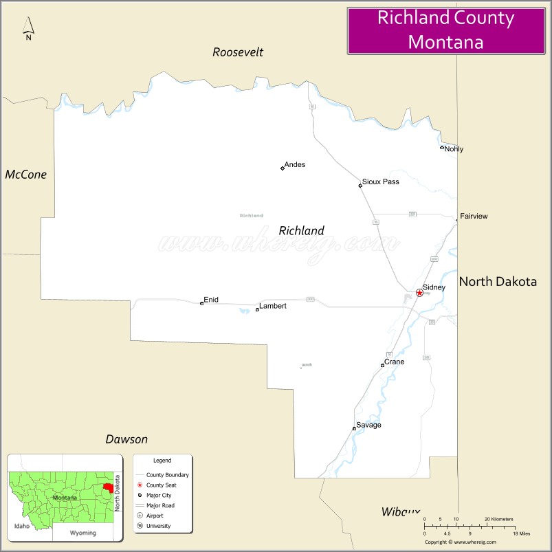
| Seat: | Sidney |
| Largest city: | Sidney |
| Total Area: | 2,103 sq mi (5,450 km²) |
| Land Area: | 2,084 sq mi (5,400 km²) |
| Total Population: | 11,491 |
| Population Density: | 5.5/sq mi (2.1/km²) |
| Time zone: | UTC−7 (Mountain) |
| Summer Time Zone (DST): | UTC−6 (MDT) |
| Website: | www.richland.org |
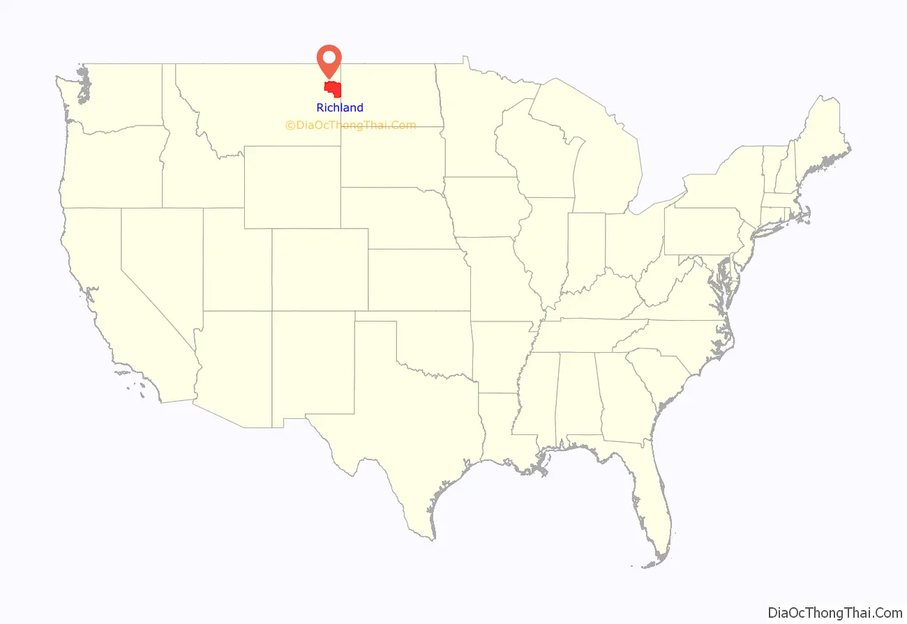
Richland County location map. Where is Richland County?
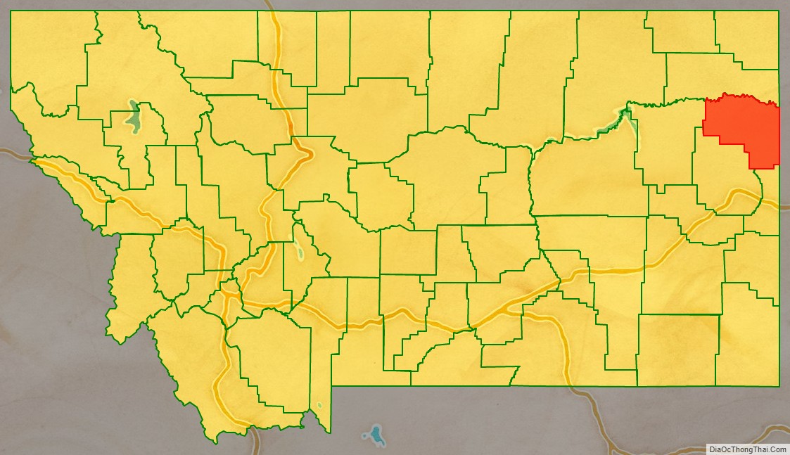
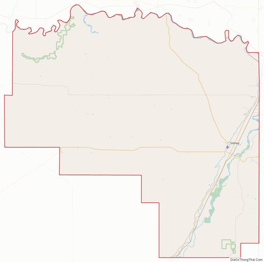
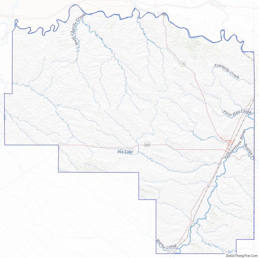
Richland County Road Map
Geography
According to the United States Census Bureau, the county has a total area of 2,103 square miles (5,450 km), of which 2,084 square miles (5,400 km) is land and 19 square miles (49 km) (0.9%) is water.
Major highways
- Montana Highway 16
- Montana Highway 23
- Montana Highway 200
Adjacent counties
- Roosevelt County – north
- Williams County, North Dakota – northeast
- McKenzie County, North Dakota – east
- Wibaux County – south
- Dawson County – southwest
- McCone County – west
Richland County Topographic Map
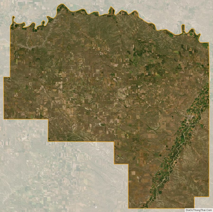
Richland County Satellite Map
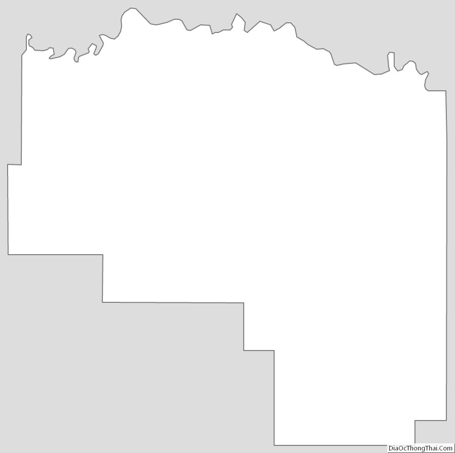
Richland County Outline Map
See also
Map of Montana State and its subdivision:- Beaverhead
- Big Horn
- Blaine
- Broadwater
- Carbon
- Carter
- Cascade
- Chouteau
- Custer
- Daniels
- Dawson
- Deer Lodge
- Fallon
- Fergus
- Flathead
- Gallatin
- Garfield
- Glacier
- Golden Valley
- Granite
- Hill
- Jefferson
- Judith Basin
- Lake
- Lewis and Clark
- Liberty
- Lincoln
- Madison
- McCone
- Meagher
- Mineral
- Missoula
- Musselshell
- Park
- Petroleum
- Phillips
- Pondera
- Powder River
- Powell
- Prairie
- Ravalli
- Richland
- Roosevelt
- Rosebud
- Sanders
- Sheridan
- Silver Bow
- Stillwater
- Sweet Grass
- Teton
- Toole
- Treasure
- Valley
- Wheatland
- Wibaux
- Yellowstone
- Alabama
- Alaska
- Arizona
- Arkansas
- California
- Colorado
- Connecticut
- Delaware
- District of Columbia
- Florida
- Georgia
- Hawaii
- Idaho
- Illinois
- Indiana
- Iowa
- Kansas
- Kentucky
- Louisiana
- Maine
- Maryland
- Massachusetts
- Michigan
- Minnesota
- Mississippi
- Missouri
- Montana
- Nebraska
- Nevada
- New Hampshire
- New Jersey
- New Mexico
- New York
- North Carolina
- North Dakota
- Ohio
- Oklahoma
- Oregon
- Pennsylvania
- Rhode Island
- South Carolina
- South Dakota
- Tennessee
- Texas
- Utah
- Vermont
- Virginia
- Washington
- West Virginia
- Wisconsin
- Wyoming