Ripley County is a county in the Ozarks of Missouri. At the 2020 census, it had a population of 10,679. The largest city and county seat is Doniphan. The county was officially organized on January 5, 1833, and is named after Brigadier General Eleazer Wheelock Ripley, a soldier who served with distinction in the War of 1812.
The original area included what would later become Oregon, Howell, Shannon and Carter counties. The historic Natchitoches Trail passes through Ripley County. It was a Native American trail to the Southwest that was used by pioneers, including Stephen F. Austin. During the American Civil War, Ripley County was strongly pro-Southern and provided four colonels for the Confederate Army. Several Civil War skirmishes took place in the county. Tourist areas include the Current River and the Mark Twain National Forest.
| Name: | Ripley County |
|---|---|
| FIPS code: | 29-181 |
| State: | Missouri |
| Founded: | January 5, 1833 |
| Named for: | Eleazer Wheelock Ripley |
| Seat: | Doniphan |
| Largest city: | Doniphan |
| Total Area: | 632 sq mi (1,640 km²) |
| Land Area: | 630 sq mi (1,600 km²) |
| Total Population: | 10,679 |
| Population Density: | 17/sq mi (6.5/km²) |
| Time zone: | UTC−6 (Central) |
| Summer Time Zone (DST): | UTC−5 (CDT) |
| Website: | www.ripleycountymissouri.org |
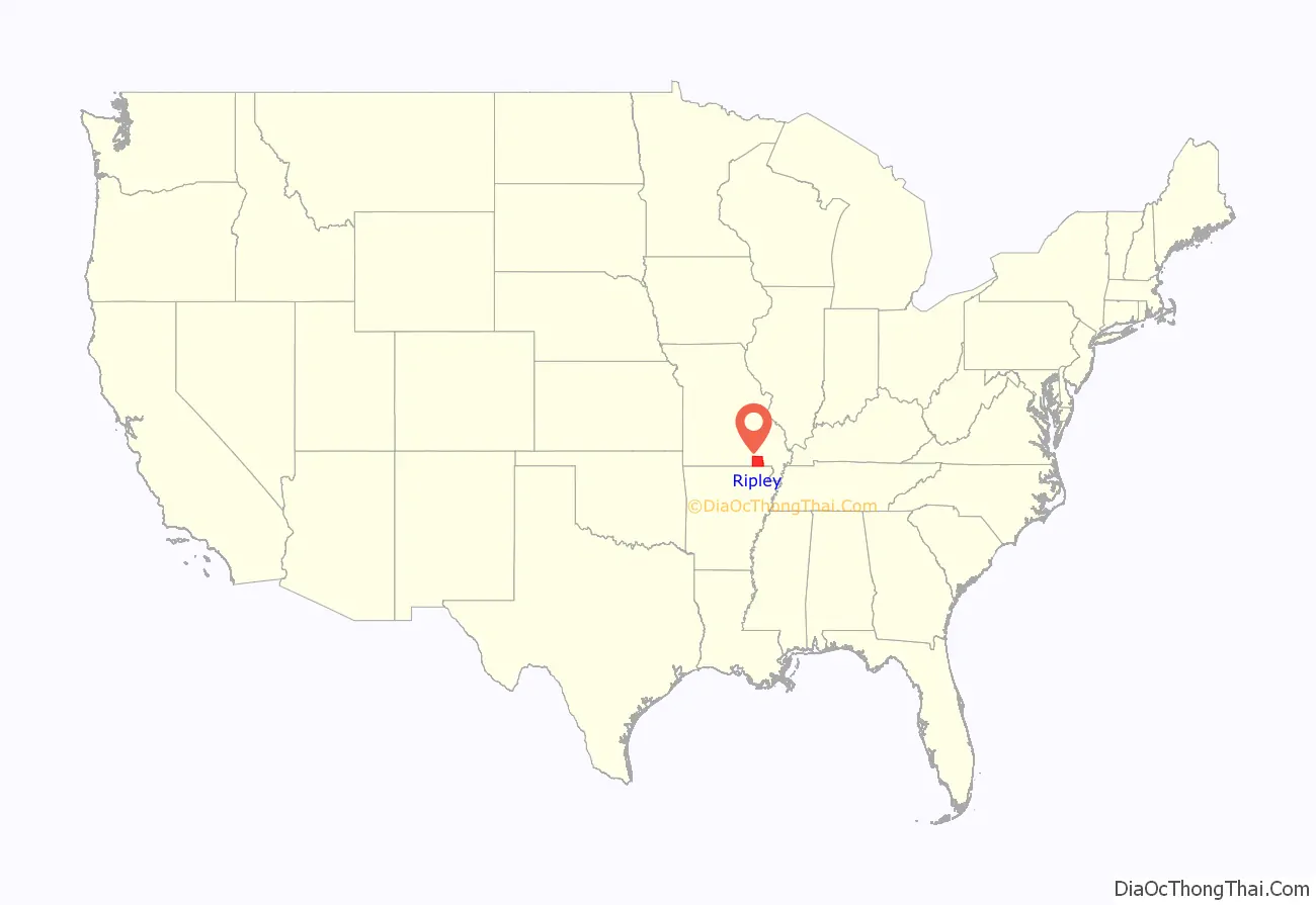
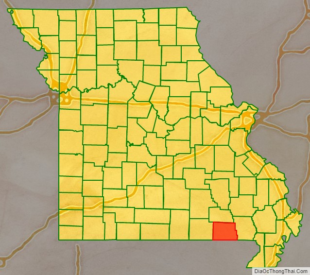
Ripley County location map. Where is Ripley County?
History
Located deep in the rugged, wooded hills of Southern Missouri, the area remained sparsely settled throughout the 19th century. Although organized in 1833, the county did not assume its present size until 1872.
When Congress created the Territory of Missouri in 1812, what became Ripley County was in New Madrid County. Three years later, Lawrence County was established, which included all of southern Missouri west of the St. Francis River and a portion of northern Arkansas. The seat of justice for Lawrence County was at Davidsonville in present-day Arkansas. In 1818 Wayne County was formed. This massive county included nearly one-fifth of the area in the Missouri Territory, with Greenville becoming the county seat.
In 1833 the General Assembly created Ripley County from part of Wayne County. The county then included present-day Ripley, Carter, Shannon, Oregon, and Howell Counties, with Van Buren as the county seat. Over the next 26 years, Ripley County’s boundaries decreased as new counties were formed: Shannon (1841), Oregon, which included today’s Oregon and Howell Counties (1845), and Carter (1859). The last boundary change took place in 1872.
Since most of the population lived in the south, voters moved the county seat to the new Doniphan, where a wooden courthouse was built. This building served the county until it was burned by Union troops, along with almost entire town of Doniphan, on September 19, 1864. William Russell, a county official, had earlier removed the county’s record books and hid them in a cave south of town. They remained there until they were retrieved by the county clerk two years after the war.
Because of the chaos and destruction brought about by the Civil War, the courthouse was not replaced until 1871. A two-story brick courthouse was then built, using the $10,000 bond passed by the voters. It housed the administrative offices until it was destroyed by an accidental fire in January 1898.
Ripley County’s current courthouse was designed by William F. Schrage of Kansas City, and was built by John McDonald Anderson of Emporia, Kansas in 1898–1899. A central tower, later destroyed during a 1929 tornado, dominated the two-story brick structure. Federal relief workers made repairs and renovations of the courthouse during the 1930s. An extensive remodeling project in the 1970s added central heating. The century-old courthouse is now listed on the National Register of Historic Places and celebrated its centennial during the 1999 Labor Day Homecoming Festivities.
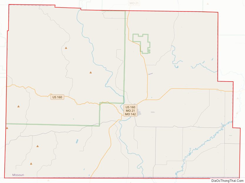
Ripley County Road Map
Geography
According to the U.S. Census Bureau, the county has a total area of 632 square miles (1,640 km), of which 630 square miles (1,600 km) is land and 2.1 square miles (5.4 km) (0.3%) is water.
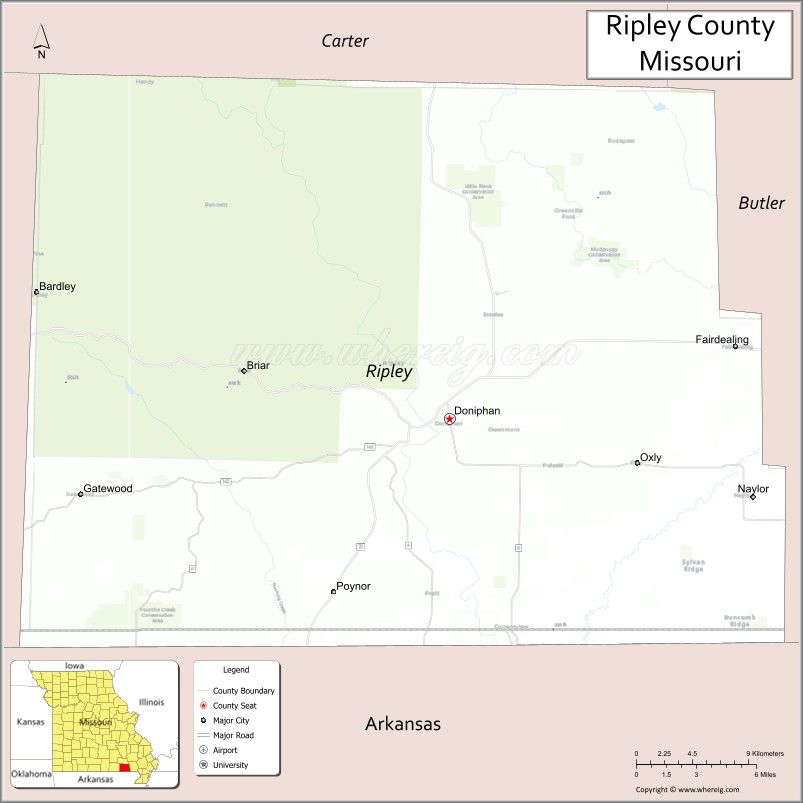
Adjacent counties
- Carter County (north)
- Butler County (east)
- Clay County, Arkansas (southeast)
- Randolph County, Arkansas (southwest)
- Oregon County (west)
Major highways
- U.S. Route 160
- Route 21
- Route 142
National protected area
- Mark Twain National Forest (part)
Ripley County Topographic Map

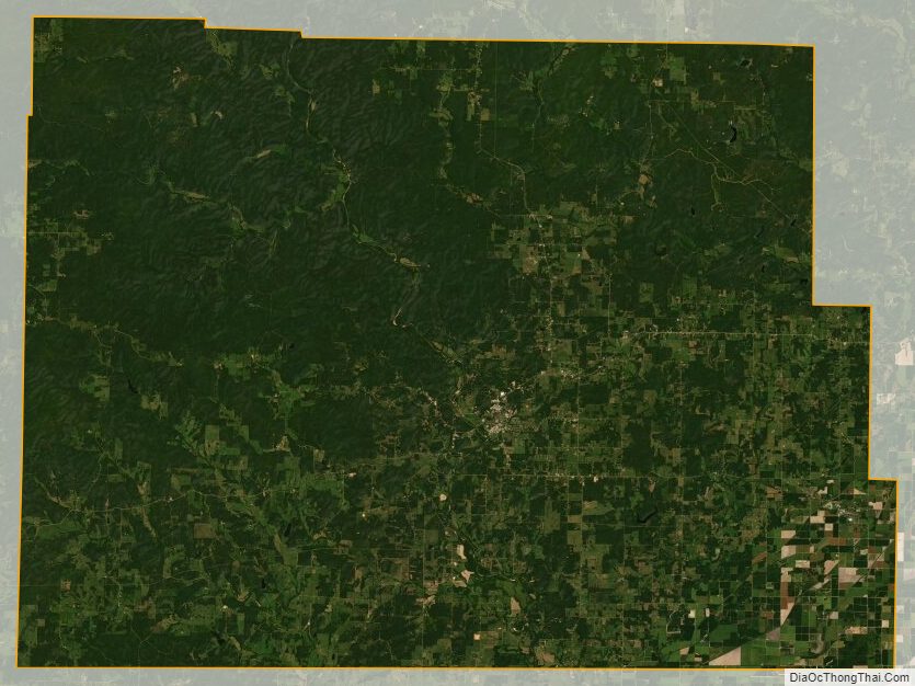
Ripley County Satellite Map
Ripley County Outline Map

See also
Map of Missouri State and its subdivision:- Adair
- Andrew
- Atchison
- Audrain
- Barry
- Barton
- Bates
- Benton
- Bollinger
- Boone
- Buchanan
- Butler
- Caldwell
- Callaway
- Camden
- Cape Girardeau
- Carroll
- Carter
- Cass
- Cedar
- Chariton
- Christian
- Clark
- Clay
- Clinton
- Cole
- Cooper
- Crawford
- Dade
- Dallas
- Daviess
- De Kalb
- Dent
- Douglas
- Dunklin
- Franklin
- Gasconade
- Gentry
- Greene
- Grundy
- Harrison
- Henry
- Hickory
- Holt
- Howard
- Howell
- Iron
- Jackson
- Jasper
- Jefferson
- Johnson
- Knox
- Laclede
- Lafayette
- Lawrence
- Lewis
- Lincoln
- Linn
- Livingston
- Macon
- Madison
- Maries
- Marion
- McDonald
- Mercer
- Miller
- Mississippi
- Moniteau
- Monroe
- Montgomery
- Morgan
- New Madrid
- Newton
- Nodaway
- Oregon
- Osage
- Ozark
- Pemiscot
- Perry
- Pettis
- Phelps
- Pike
- Platte
- Polk
- Pulaski
- Putnam
- Ralls
- Randolph
- Ray
- Reynolds
- Ripley
- Saint Charles
- Saint Clair
- Saint Francois
- Saint Louis
- Sainte Genevieve
- Saline
- Schuyler
- Scotland
- Scott
- Shannon
- Shelby
- Stoddard
- Stone
- Sullivan
- Taney
- Texas
- Vernon
- Warren
- Washington
- Wayne
- Webster
- Worth
- Wright
- Alabama
- Alaska
- Arizona
- Arkansas
- California
- Colorado
- Connecticut
- Delaware
- District of Columbia
- Florida
- Georgia
- Hawaii
- Idaho
- Illinois
- Indiana
- Iowa
- Kansas
- Kentucky
- Louisiana
- Maine
- Maryland
- Massachusetts
- Michigan
- Minnesota
- Mississippi
- Missouri
- Montana
- Nebraska
- Nevada
- New Hampshire
- New Jersey
- New Mexico
- New York
- North Carolina
- North Dakota
- Ohio
- Oklahoma
- Oregon
- Pennsylvania
- Rhode Island
- South Carolina
- South Dakota
- Tennessee
- Texas
- Utah
- Vermont
- Virginia
- Washington
- West Virginia
- Wisconsin
- Wyoming