Roberts County is a county in the U.S. state of South Dakota. As of the 2020 United States Census, the population was 10,280. Its county seat is Sisseton. The county was named either for S. G. Roberts of Fargo, North Dakota, or for Solomon Robar, an early local French fur trader. It was created on March 8, 1883, and fully organized by August 6 of that year. Its boundary was altered once, in 1885.
| Name: | Roberts County |
|---|---|
| FIPS code: | 46-109 |
| State: | South Dakota |
| Founded: | 1883 |
| Named for: | S. G. Roberts |
| Seat: | Sisseton |
| Largest city: | Sisseton |
| Total Area: | 1,136 sq mi (2,940 km²) |
| Land Area: | 1,101 sq mi (2,850 km²) |
| Total Population: | 10,280 |
| Population Density: | 9.0/sq mi (3.5/km²) |
| Time zone: | UTC−6 (Central) |
| Summer Time Zone (DST): | UTC−5 (CDT) |
| Website: | roberts.sdcounties.org |
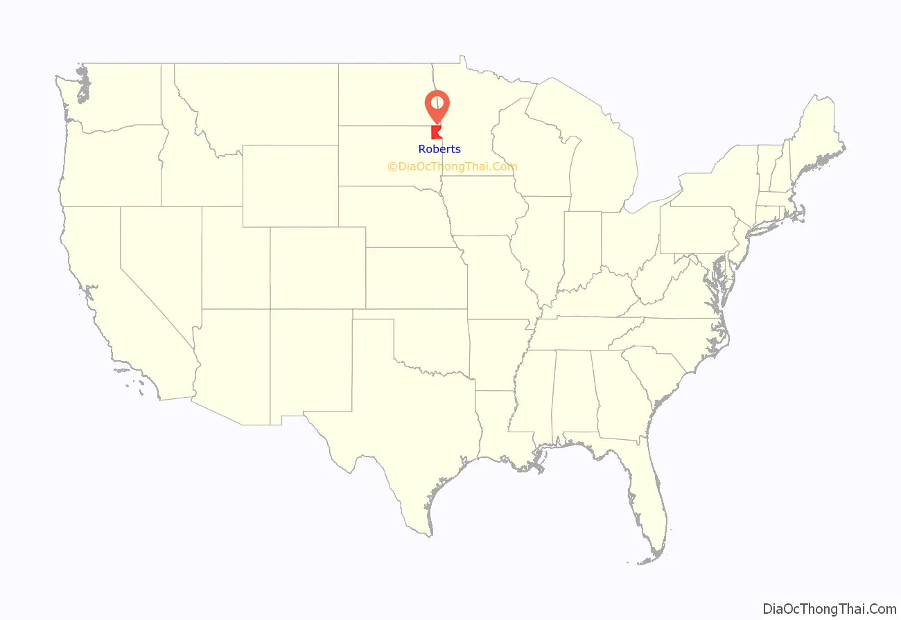
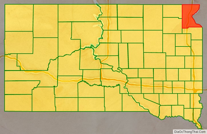
Roberts County location map. Where is Roberts County?
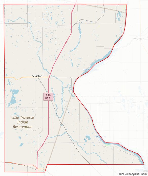
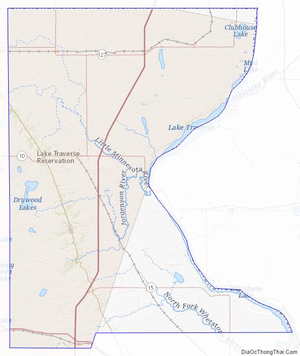
Roberts County Road Map
Geography
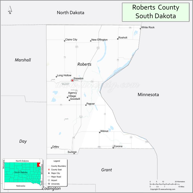
Roberts County is at South Dakota’s northeastern corner. Its eastern boundary abuts Minnesota (across the Bois de Sioux River), and its northern boundary abuts North Dakota. The Cottonwood Slough flows southward, draining the upper portion of the county into the River. The terrain consists of rolling hills, devoted to agriculture. The terrain slopes to the east; its highest point is on its upper western boundary line, at 2,047′ (624m) ASL.
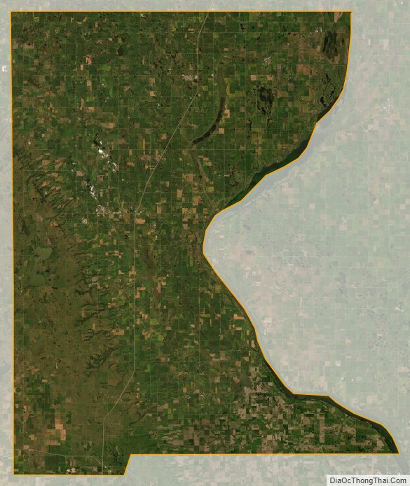
Roberts County has an area of 1,136 square miles (2,940 km), of which 1,101 square miles (2,850 km) is land and 35 square miles (91 km) (3.1%) is water. The Traverse Gap is in eastern Roberts County along the Minnesota border. The Lake Traverse Indian Reservation covers most of the county.
Major highways
- Interstate 29
- U.S. Route 12
- U.S. Route 81
- South Dakota Highway 10
- South Dakota Highway 15
- South Dakota Highway 25
- South Dakota Highway 106
- South Dakota Highway 109
- South Dakota Highway 123
- South Dakota Highway 127
Adjacent counties
- Richland County, North Dakota – north
- Traverse County, Minnesota – northeast
- Big Stone County, Minnesota – southeast
- Grant County – south
- Day County – southwest
- Marshall County – west
Protected areas
- Big Stone Island State Nature Area
- Crawford State Game Production Area
- Knutson State Game Production Area
- Harmon State Game Production Area
- Hartford Beach State Park
- Peever Slough State Game Production Area
- Sica Hollow State Park (part)
- White Rock State Game Production Area
Lakes and rivers
- Big Stone Lake
- Bois de Sioux River
- Clubhouse Lake
- Cottonwood Lake
- Dobberstien Slough
- Drywood Lakes
- Hurricane Lake
- Lake Bdesska
- Lake Traverse
- Little Minnesota River
- Oneroad Lake
- Owl Lake
- Round Lake
- Whetstone River (North fork)
- Whitestone Lake
Roberts County Topographic Map
Roberts County Satellite Map
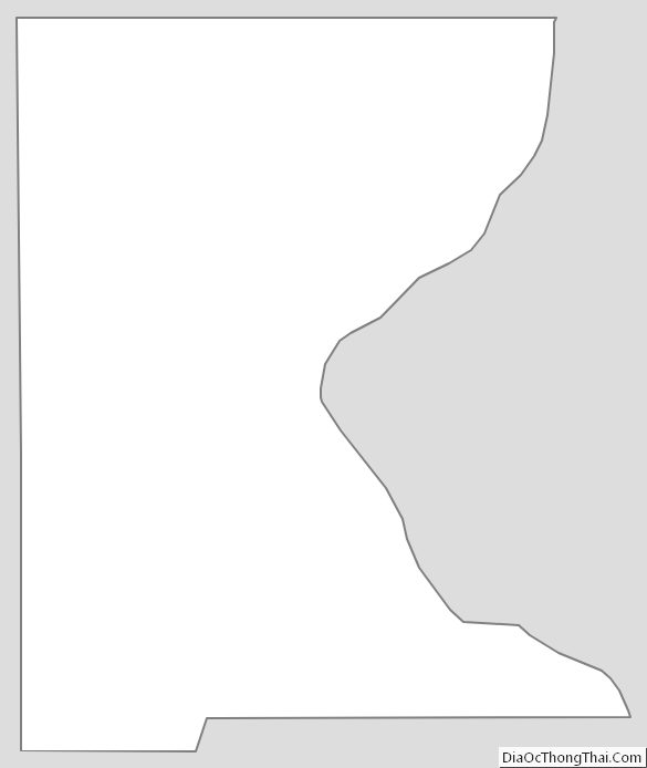
Roberts County Outline Map
See also
Map of South Dakota State and its subdivision:- Aurora
- Beadle
- Bennett
- Bon Homme
- Brookings
- Brown
- Brule
- Buffalo
- Butte
- Campbell
- Charles Mix
- Clark
- Clay
- Codington
- Corson
- Custer
- Davison
- Day
- Deuel
- Dewey
- Douglas
- Edmunds
- Fall River
- Faulk
- Grant
- Gregory
- Haakon
- Hamlin
- Hand
- Hanson
- Harding
- Hughes
- Hutchinson
- Hyde
- Jackson
- Jerauld
- Jones
- Kingsbury
- Lake
- Lawrence
- Lincoln
- Lyman
- Marshall
- McCook
- McPherson
- Meade
- Mellette
- Miner
- Minnehaha
- Moody
- Pennington
- Perkins
- Potter
- Roberts
- Sanborn
- Shannon
- Spink
- Stanley
- Sully
- Todd
- Tripp
- Turner
- Union
- Walworth
- Yankton
- Ziebach
- Alabama
- Alaska
- Arizona
- Arkansas
- California
- Colorado
- Connecticut
- Delaware
- District of Columbia
- Florida
- Georgia
- Hawaii
- Idaho
- Illinois
- Indiana
- Iowa
- Kansas
- Kentucky
- Louisiana
- Maine
- Maryland
- Massachusetts
- Michigan
- Minnesota
- Mississippi
- Missouri
- Montana
- Nebraska
- Nevada
- New Hampshire
- New Jersey
- New Mexico
- New York
- North Carolina
- North Dakota
- Ohio
- Oklahoma
- Oregon
- Pennsylvania
- Rhode Island
- South Carolina
- South Dakota
- Tennessee
- Texas
- Utah
- Vermont
- Virginia
- Washington
- West Virginia
- Wisconsin
- Wyoming