Roger Mills County is a county located in the western part of the U.S. state of Oklahoma. As of the 2010 census, the population was 3,647, making it the third-least populous county in Oklahoma. Its county seat is Cheyenne. The county was created in 1891.
Roger Mills county is located above the petroleum-rich Panhandle-Hugoton Field, making it one of the leading sources of oil, natural gas and helium. The county also overlies part of the Ogallala Aquifer.
| Name: | Roger Mills County |
|---|---|
| FIPS code: | 40-129 |
| State: | Oklahoma |
| Founded: | 1891 |
| Named for: | Roger Q. Mills |
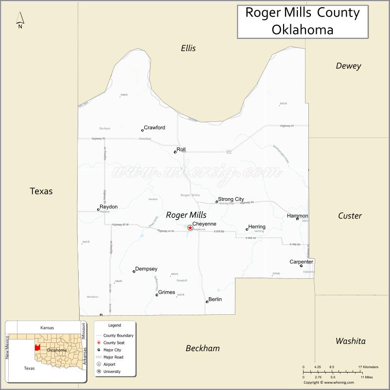
| Seat: | Cheyenne |
| Largest town: | Cheyenne |
| Total Area: | 1,146 sq mi (2,970 km²) |
| Land Area: | 1,141 sq mi (2,960 km²) |
| Total Population: | 3,647 |
| Population Density: | 3.2/sq mi (1.2/km²) |
| Time zone: | UTC−6 (Central) |
| Summer Time Zone (DST): | UTC−5 (CDT) |
| Website: | www.rogermills.org |
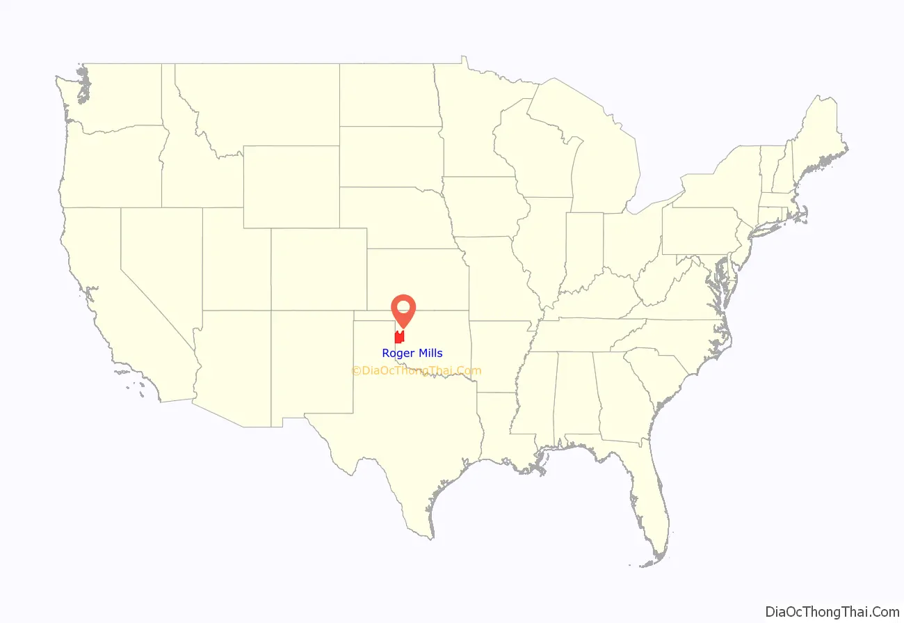
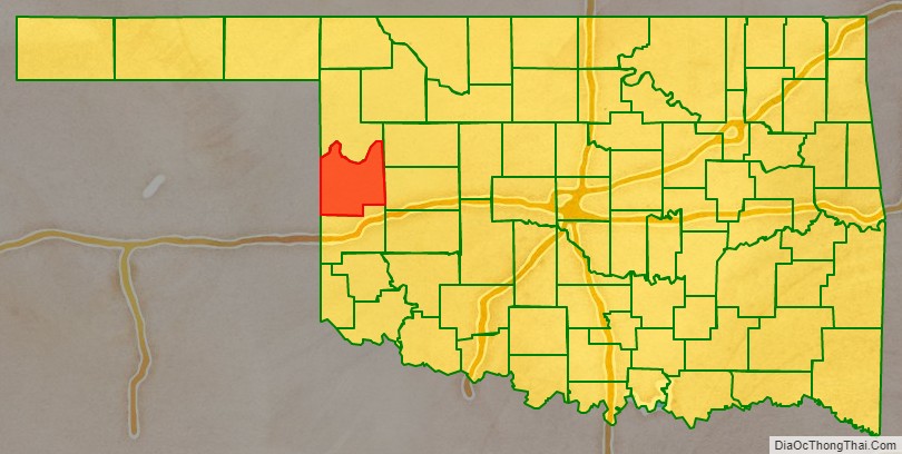
Roger Mills County location map. Where is Roger Mills County?
History
Roger Mills County takes its name from Roger Q. Mills, a senator from Texas. The town of Cheyenne in Roger Mills County is the location of the Battle of Washita River (also called Battle of the Washita; Washita Battlefield and the Washita Massacre), where George Armstrong Custer’s 7th U.S. Cavalry attacked Chief Black Kettle’s Cheyenne village on the Washita River on November 26, 1868.
The area covered by Roger Mills County had been part of the Cheyenne Arapaho reservation until after Oklahoma Territory was created and County E was formed. County E was renamed Day County. Day County was abolished and Roger Mills County was created at statehood on November 16, 1907. The county’s western boundary with Texas was moved eastward 3,800 feet (1,200 m) when the Supreme Court ruled that the 100th Meridian was farther east than originally supposed.
During the 1970s Roger Mills County and the surrounding area was the site of natural gas and oil development in the Panhandle-Hugoton Gas Field, the largest-volume gas field in the United States, and the world’s largest known source of helium. Between 1973 and 1993 the field produced over 8-trillion cubic feet (230,000,000 m³) of gas.
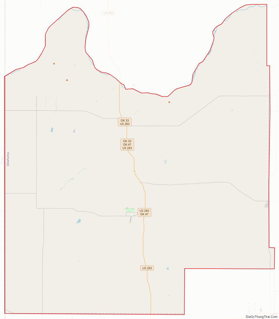
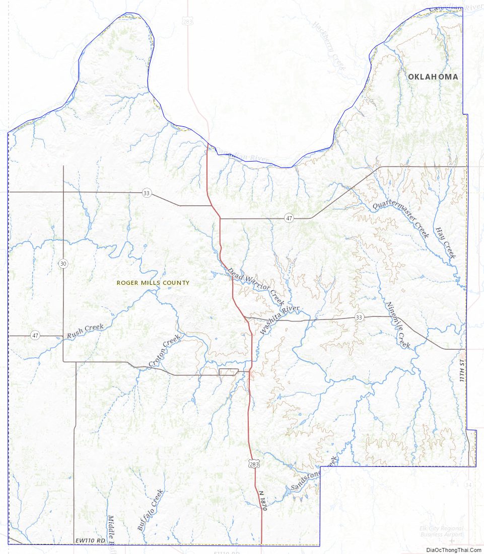
Roger Mills County Road Map
Geography
According to the U.S. Census Bureau, the county has a total area of 1,146 square miles (2,970 km), of which 1,141 square miles (2,960 km) is land and 5.3 square miles (14 km) (0.5%) is water. The Canadian River forms the northern border of the county. The Washita River passes by Cheyenne and Strong City as it crosses the county from west to east. The historically significant Antelope Hills lie in the northeastern part of the county.
Major highways
- U.S. Highway 283
- State Highway 6
- State Highway 30
- State Highway 33
- State Highway 34
- State Highway 47
- State Highway 47A
- State Highway 152
Adjacent counties
- Ellis County (north)
- Dewey County (northeast)
- Custer County (east)
- Beckham County (south)
- Wheeler County, Texas (southwest)
- Hemphill County, Texas (northwest)
National protected areas
- Antelope Hills
- Black Kettle National Grassland (part)
- Break O’Day Farm
- Washita Battlefield National Historic Site
Roger Mills County Topographic Map
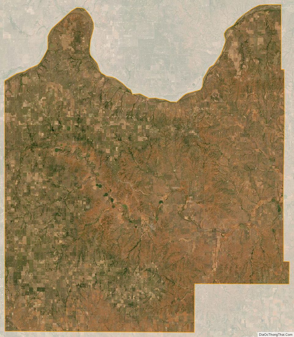
Roger Mills County Satellite Map
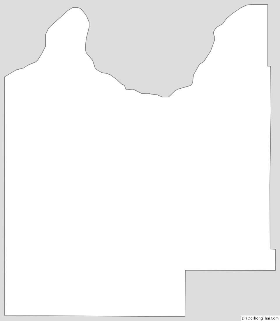
Roger Mills County Outline Map
See also
Map of Oklahoma State and its subdivision:- Adair
- Alfalfa
- Atoka
- Beaver
- Beckham
- Blaine
- Bryan
- Caddo
- Canadian
- Carter
- Cherokee
- Choctaw
- Cimarron
- Cleveland
- Coal
- Comanche
- Cotton
- Craig
- Creek
- Custer
- Delaware
- Dewey
- Ellis
- Garfield
- Garvin
- Grady
- Grant
- Greer
- Harmon
- Harper
- Haskell
- Hughes
- Jackson
- Jefferson
- Johnston
- Kay
- Kingfisher
- Kiowa
- Latimer
- Le Flore
- Lincoln
- Logan
- Love
- Major
- Marshall
- Mayes
- McClain
- McCurtain
- McIntosh
- Murray
- Muskogee
- Noble
- Nowata
- Okfuskee
- Oklahoma
- Okmulgee
- Osage
- Ottawa
- Pawnee
- Payne
- Pittsburg
- Pontotoc
- Pottawatomie
- Pushmataha
- Roger Mills
- Rogers
- Seminole
- Sequoyah
- Stephens
- Texas
- Tillman
- Tulsa
- Wagoner
- Washington
- Washita
- Woods
- Woodward
- Alabama
- Alaska
- Arizona
- Arkansas
- California
- Colorado
- Connecticut
- Delaware
- District of Columbia
- Florida
- Georgia
- Hawaii
- Idaho
- Illinois
- Indiana
- Iowa
- Kansas
- Kentucky
- Louisiana
- Maine
- Maryland
- Massachusetts
- Michigan
- Minnesota
- Mississippi
- Missouri
- Montana
- Nebraska
- Nevada
- New Hampshire
- New Jersey
- New Mexico
- New York
- North Carolina
- North Dakota
- Ohio
- Oklahoma
- Oregon
- Pennsylvania
- Rhode Island
- South Carolina
- South Dakota
- Tennessee
- Texas
- Utah
- Vermont
- Virginia
- Washington
- West Virginia
- Wisconsin
- Wyoming