Roscommon County (/rɒsˈkɒmən/ RAHS-comm-ən) is a county located in the U.S. state of Michigan. As of the 2020 Census, the population was 23,459. The county seat is Roscommon. The county was founded in 1840 and organized in 1875.
| Name: | Roscommon County |
|---|---|
| FIPS code: | 26-143 |
| State: | Michigan |
| Founded: | 1840 |
| Named for: | County Roscommon, Ireland |
| Seat: | Roscommon |
| Total Area: | 580 sq mi (1,500 km²) |
| Land Area: | 520 sq mi (1,300 km²) |
| Total Population: | 23,459 |
| Population Density: | 47/sq mi (18/km²) |
| Time zone: | UTC−5 (Eastern) |
| Summer Time Zone (DST): | UTC−4 (EDT) |
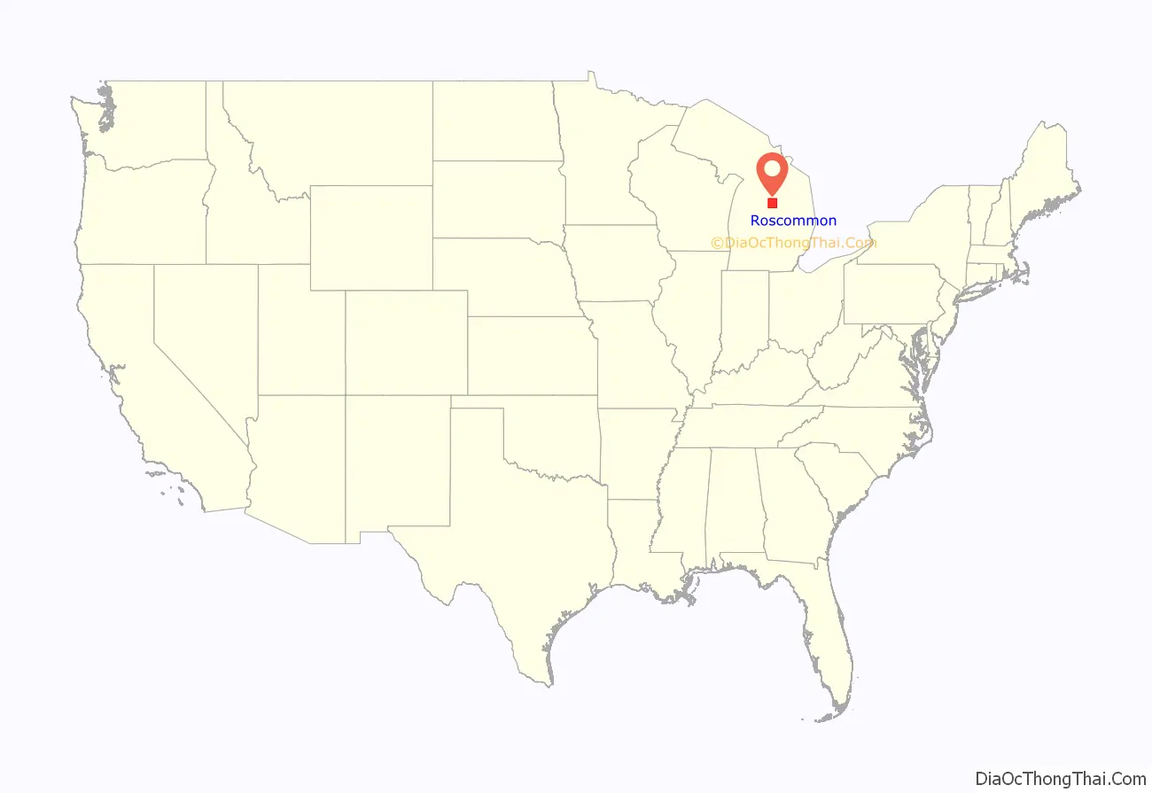
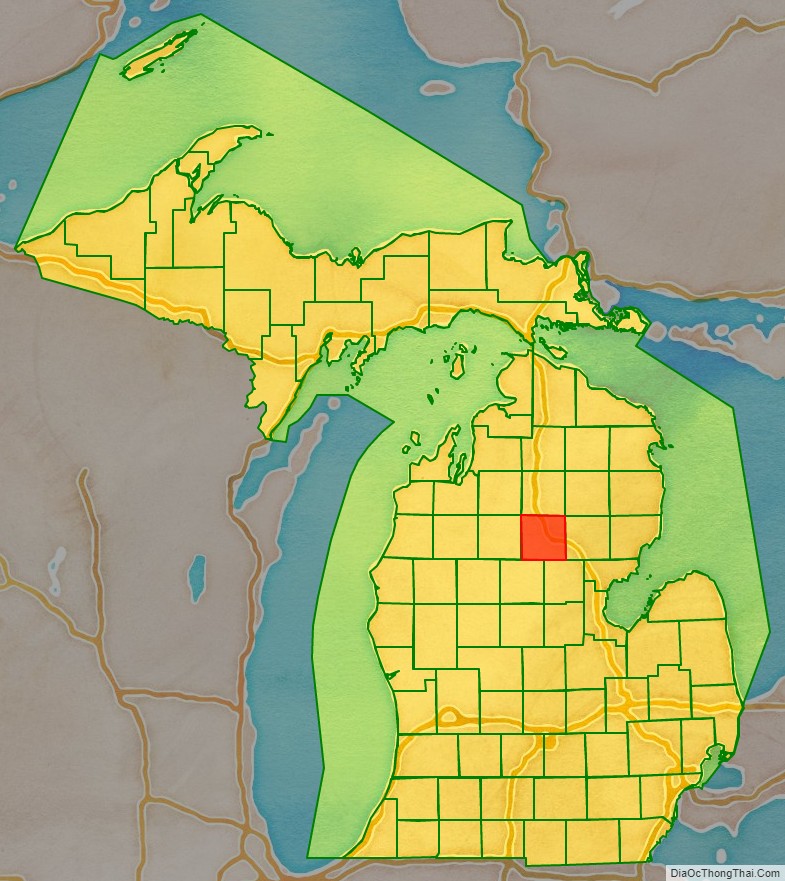
Roscommon County location map. Where is Roscommon County?
History
The county was formed by the Michigan Legislature in 1840 as Mikenauk County, then renamed Roscommon County in 1843. It was administered by Michilimackinac (Mackinac), Cheboygan, and Midland counties, in succession, prior to the organization of county government in 1875. Roscommon County was named after County Roscommon, Ireland.
There are three official Michigan historical markers in the county:
- Gerrish
- Pioneer House
- Terney House
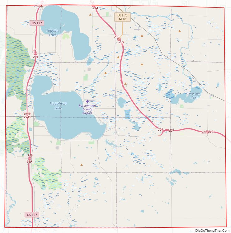
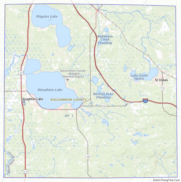
Roscommon County Road Map
Geography
According to the US Census Bureau, the county has a total area of 580 square miles (1,500 km), of which 520 square miles (1,300 km) is land and 60 square miles (160 km) (10%) is water. Roscommon County is considered to be part of Northern Michigan. Part of Michigan’s Au Sable State Forest falls within the county. The US Forest Service’s Roscoe Fire Management Unit includes Ogemaw and Roscommon Counties.
Geographic features
During prehistoric times, glacial action helped shape the Michigan-area terrain. A large portion of the area is the Grayling outwash plain, which includes sandy ice-disintegration ridges; jack pine barrens, white pine-red pine forest, and northern hardwood forest. Large lakes were created by glacial action.
Prominent geographic features include:
- Au Sable River
- Backus Creek
- Cut River
- Dead Stream Flooding
- Higgins Lake
- Houghton Lake
- Houghton Lake Flats
- Lake St. Helen
- Marl Lake
- Roscommon Virgin Pine Stand – a 160-acre (650,000 m) parcel within the Au Sable State Forest, 8 miles (13 km) north of St. Helen, Michigan, and 8 miles east of Roscommon. An old-growth stand of red pine, which includes a former national champion red pine.
- Underground oil deposits
Major highways
- I-73 (future)
- I-75 – runs south, SE, and east through the NE middle portion of county.
- US 127 – runs north–south through west portion of county. Passes on west side of Higgins and Houghton Lakes.
- M-18 – runs north–south through center of county. Passes Roscommon and Prudenville. Leaving Roscommon, runs east along north line of county for 5.6 miles (9 km) before turning to NE.
- M-55 – runs east–west through center of county to intersection with I75, 7 miles (11 km) west of east line of county.
- M-157 – short (1.1 mile/1.8 km) north-south spur connecting M18 to M55, east of Houghton Lake.
- F-18 – runs south from Prudenville. Exits the county on the line between Clare and Gladwin counties.
Airports
- Houghton Lake State Airport is located in Roscommon Township.
- Roscommon County–Blodgett Memorial Airport is located in Markey Township.
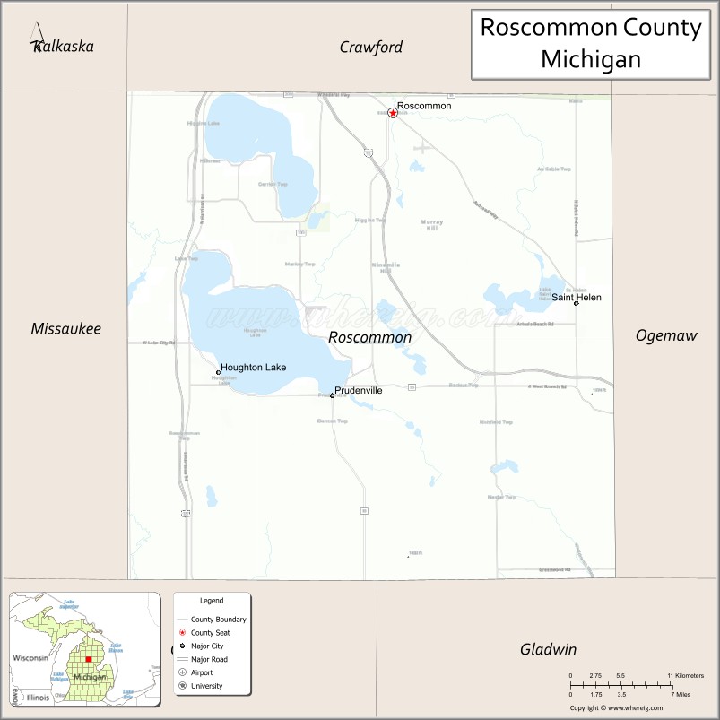
Adjacent counties
- Crawford County – north
- Oscoda County – northeast
- Ogemaw County – east
- Gladwin County – southeast
- Clare County – southwest
- Missaukee County – west
- Kalkaska County – northwest
Roscommon County Topographic Map
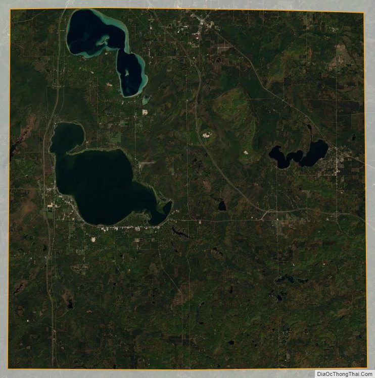
Roscommon County Satellite Map
Roscommon County Outline Map

See also
Map of Michigan State and its subdivision:- Alcona
- Alger
- Allegan
- Alpena
- Antrim
- Arenac
- Baraga
- Barry
- Bay
- Benzie
- Berrien
- Branch
- Calhoun
- Cass
- Charlevoix
- Cheboygan
- Chippewa
- Clare
- Clinton
- Crawford
- Delta
- Dickinson
- Eaton
- Emmet
- Genesee
- Gladwin
- Gogebic
- Grand Traverse
- Gratiot
- Hillsdale
- Houghton
- Huron
- Ingham
- Ionia
- Iosco
- Iron
- Isabella
- Jackson
- Kalamazoo
- Kalkaska
- Kent
- Keweenaw
- Lake
- Lake Hurron
- Lake Michigan
- Lake St. Clair
- Lake Superior
- Lapeer
- Leelanau
- Lenawee
- Livingston
- Luce
- Mackinac
- Macomb
- Manistee
- Marquette
- Mason
- Mecosta
- Menominee
- Midland
- Missaukee
- Monroe
- Montcalm
- Montmorency
- Muskegon
- Newaygo
- Oakland
- Oceana
- Ogemaw
- Ontonagon
- Osceola
- Oscoda
- Otsego
- Ottawa
- Presque Isle
- Roscommon
- Saginaw
- Saint Clair
- Saint Joseph
- Sanilac
- Schoolcraft
- Shiawassee
- Tuscola
- Van Buren
- Washtenaw
- Wayne
- Wexford
- Alabama
- Alaska
- Arizona
- Arkansas
- California
- Colorado
- Connecticut
- Delaware
- District of Columbia
- Florida
- Georgia
- Hawaii
- Idaho
- Illinois
- Indiana
- Iowa
- Kansas
- Kentucky
- Louisiana
- Maine
- Maryland
- Massachusetts
- Michigan
- Minnesota
- Mississippi
- Missouri
- Montana
- Nebraska
- Nevada
- New Hampshire
- New Jersey
- New Mexico
- New York
- North Carolina
- North Dakota
- Ohio
- Oklahoma
- Oregon
- Pennsylvania
- Rhode Island
- South Carolina
- South Dakota
- Tennessee
- Texas
- Utah
- Vermont
- Virginia
- Washington
- West Virginia
- Wisconsin
- Wyoming