| Name: | Salem County |
|---|---|
| FIPS code: | 34-033 |
| State: | New Jersey |
| Founded: | 1694 |
| Named for: | Hebrew word meaning “peace” |
| Seat: | Salem |
| Largest city: | Pennsville Township |
| Total Area: | 372.33 sq mi (964.3 km²) |
| Land Area: | 331.90 sq mi (859.6 km²) |
| Total Population: | 64,837 |
| Population Density: | 195.4/sq mi (75.4/km²) |
| Website: | www.salemcountynj.gov |
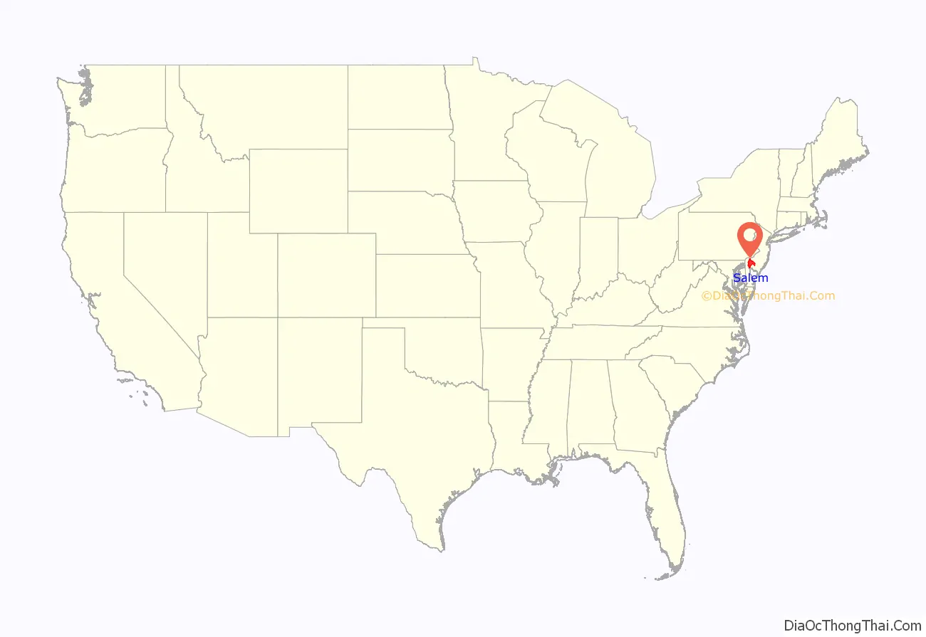
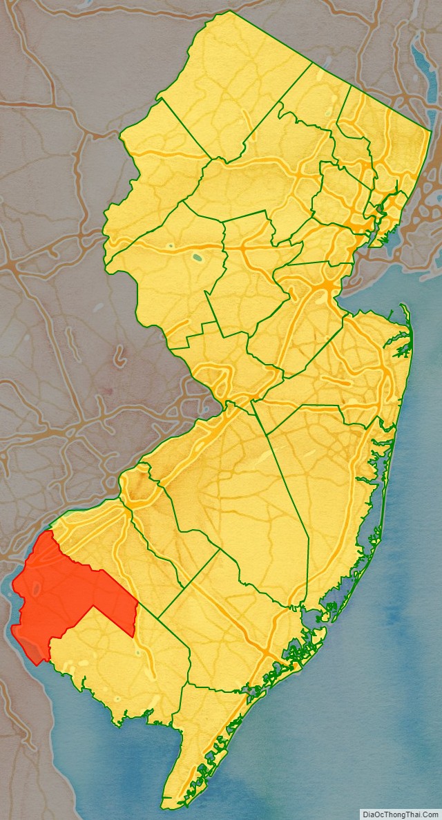
Salem County location map. Where is Salem County?
History
Etymology
The county derives its name from the Hebrew word for “peace”.
Early History
European settlement began with English colonists in the seventeenth century, who were settling both sides of the Delaware River. They established a colonial court in the area in 1681, but Salem County was first formally organized within West Jersey on May 17, 1694, from the Salem Tenth. Pittsgrove Township was transferred to Cumberland County in April 1867, but was restored to Salem County in February 1868. The area was initially settled by Quakers.
The Old Salem County Courthouse, located on the same block as the Salem County Courthouse, serves as the court for Salem City in the 21st century. It is the oldest active courthouse in New Jersey and is the second oldest courthouse in continuous use in the United States, the oldest being King William County Courthouse in Virginia. The courthouse was built in 1735 during the reign of King George II using locally manufactured bricks. The building was enlarged in 1817 and additionally enlarged and remodeled in 1908. Its distinctive bell tower is essentially unchanged and the original bell sits in the courtroom.
Judge William Hancock of the King’s Court presided at the courthouse. He was later killed by the British in the American Revolutionary War during the massacre at Hancock House committed by the British against local militia during the Salem Raid in 1778. Afterward the courthouse was the site of the “treason trials,” wherein suspected Loyalists were put on trial for having allegedly aided the British during the Salem Raid. Four men were convicted and sentenced to death for treason; however, they were pardoned by Governor William Livingston and exiled from New Jersey. The courthouse is also the site of the legend of Colonel Robert Gibbon Johnson’s proving the edibility of the tomato. Before 1820, Americans often assumed tomatoes were poisonous. In 1820, Colonel Johnson, according to legend, stood upon the courthouse steps and ate tomatoes in front of a large crowd assembled to watch him do so.
Salem County is notable for its distinctive Quaker-inspired architecture and masonry styles of the 18th century. It had a rural and agricultural economy. In the early 20th century, its towns received numerous immigrants from eastern and southern Europe, who markedly added to the population. In the period following World War II, the county’s population increased due to suburban development. To accommodate increasing traffic, the Delaware Memorial Bridge was built from Salem County to New Castle, Delaware.
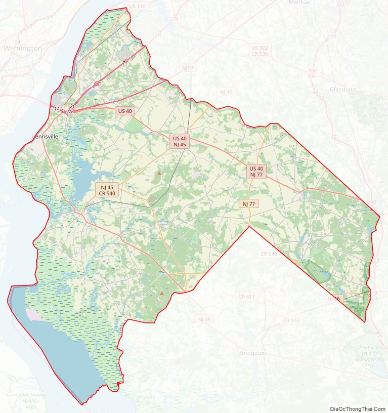
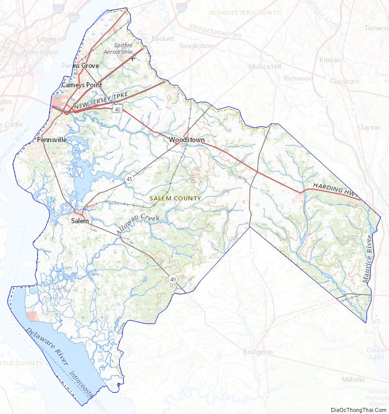
Salem County Road Map
Geography
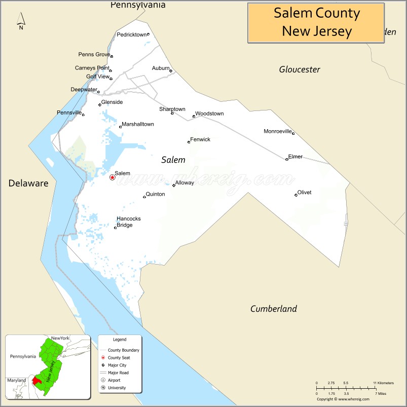
According to the 2010 Census, the county had a total area of 372.33 square miles (964.3 km), including 331.90 square miles (859.6 km) of land (89.1%) and 40.43 square miles (104.7 km) of water (10.9%). The county is bordered on the west by the Delaware River, and drained by Salem River, Alloway, and other creeks.
The terrain is almost uniformly flat coastal plain, with minimal relief. The highest elevation in the county has never been determined with any specificity, but is likely one of seven low rises in Upper Pittsgrove Township that reach approximately 160 feet (49 m) in elevation. Sea level is the lowest point.
The county has a humid subtropical climate (Cfa) and monthly temperatures in Salem city average from 33.2 °F in January to 77.2 °F in July, while in Elmer they average from 33.1 °F in January to 76.8 °F in July. [6]
Climate and weather
In recent years, average temperatures in the county seat of Salem have ranged from a low of 25 °F (−4 °C) in January to a high of 86 °F (30 °C) in July, although a record low of −14 °F (−26 °C) was recorded in January 1985 and a record high of 107 °F (42 °C) was recorded in August 1918. Average monthly precipitation ranged from 2.78 inches (71 mm) in February to 4.57 inches (116 mm) in July.
Salem County Topographic Map
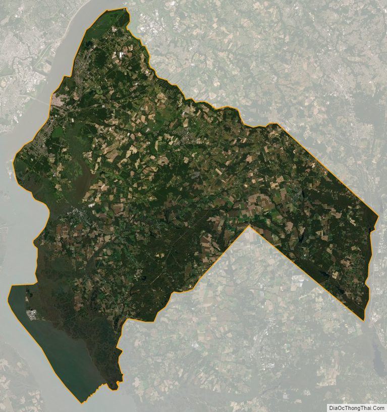
Salem County Satellite Map
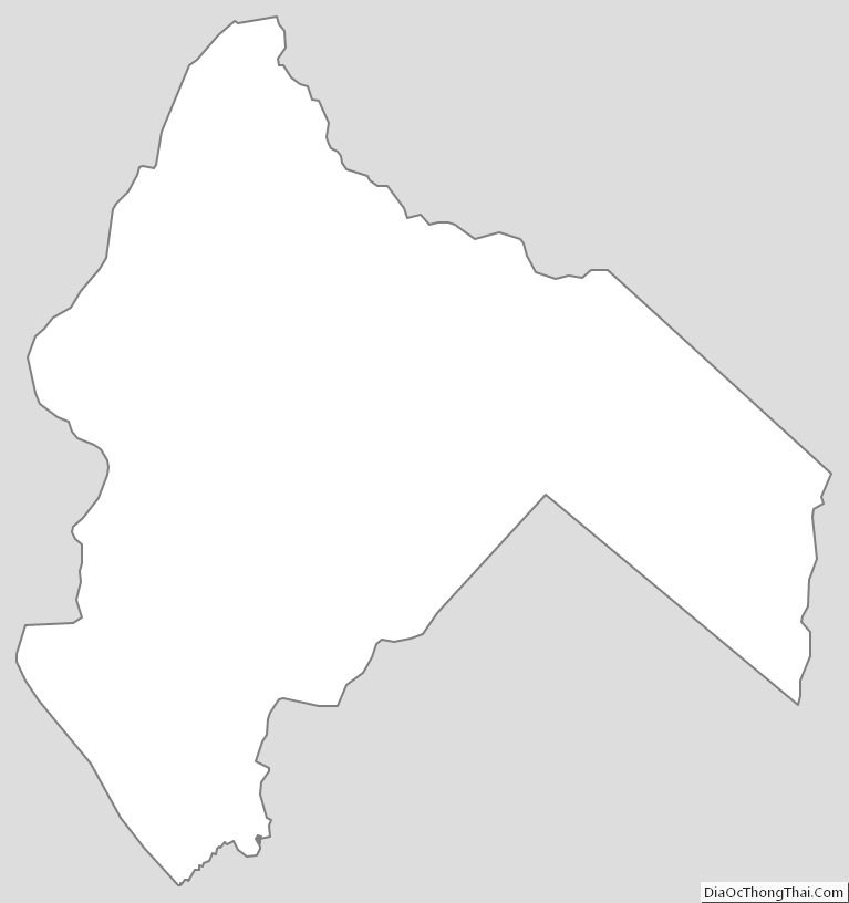
Salem County Outline Map
See also
Map of New Jersey State and its subdivision: Map of other states:- Alabama
- Alaska
- Arizona
- Arkansas
- California
- Colorado
- Connecticut
- Delaware
- District of Columbia
- Florida
- Georgia
- Hawaii
- Idaho
- Illinois
- Indiana
- Iowa
- Kansas
- Kentucky
- Louisiana
- Maine
- Maryland
- Massachusetts
- Michigan
- Minnesota
- Mississippi
- Missouri
- Montana
- Nebraska
- Nevada
- New Hampshire
- New Jersey
- New Mexico
- New York
- North Carolina
- North Dakota
- Ohio
- Oklahoma
- Oregon
- Pennsylvania
- Rhode Island
- South Carolina
- South Dakota
- Tennessee
- Texas
- Utah
- Vermont
- Virginia
- Washington
- West Virginia
- Wisconsin
- Wyoming