Sarpy County is a county located in the U.S. state of Nebraska. As of the 2020 United States Census, the population was 190,604, making it the third-most populous county in Nebraska. Its county seat is Papillion.
Sarpy County is part of the Omaha–Council Bluffs, NE-IA Metropolitan Statistical Area.
| Name: | Sarpy County |
|---|---|
| FIPS code: | 31-153 |
| State: | Nebraska |
| Founded: | 1 February 1857 |
| Named for: | Peter A. Sarpy |
| Seat: | Papillion |
| Largest city: | Bellevue |
| Total Area: | 248 sq mi (640 km²) |
| Land Area: | 239 sq mi (620 km²) |
| Total Population: | 193,418 |
| Population Density: | 772/sq mi (298/km²) |
| Time zone: | UTC−6 (Central) |
| Summer Time Zone (DST): | UTC−5 (CDT) |
| Website: | www.sarpy.gov |
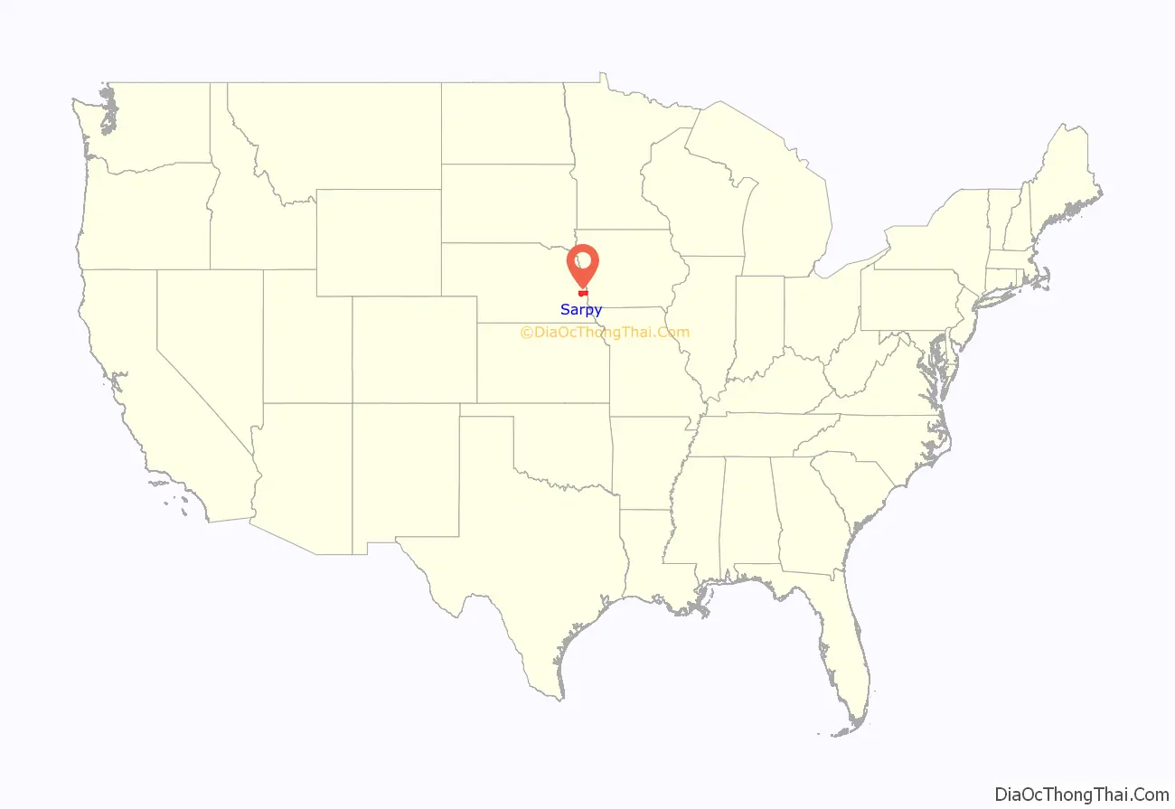
Sarpy County location map. Where is Sarpy County?
History
This was part of the territory of the Omaha people. Explored in 1805 by the Lewis and Clark expedition following the Louisiana Purchase of 1803 by the United States, this area was settled by European-American fur traders, adventurers, farmers, and finally entrepreneurs. All initially depended on the Missouri River as a main transportation corridor and source of water. Sarpy County has served as the springboard for Nebraska’s settlement and expansion. The county is named for Colonel Peter Sarpy, an early fur trader at Fontenelle’s Post in the Bellevue area in the 1840s. He also had Sarpy’s post in what became Decatur; Sarpy died in Plattsmouth in 1865.
The area of present Sarpy County was a part of Douglas County until 1 February 1857, when the Territorial Legislature partitioned off that county’s southern half and proclaimed it a separate organization.
The Omaha people were forced onto a reservation in the 19th century, losing most of their land to the United States who then opened it for settlement by non-Native Americans who were U.S. citizens or immigrants from certain (mostly European) countries.
Fort Crook, the U.S. Army post south of Bellevue, was established in the 1890s and added Offutt Field in the 1920s. Its Glenn L. Martin Bomber Plant produced over two thousand aircraft during World War II, including the notable B-29’s Enola Gay and Bockscar. Offutt Air Force Base was the headquarters of the Strategic Air Command (SAC) during the Cold War and continues as the home of U.S. Strategic Command.
In the Nebraska license plate system, Sarpy County was represented by the prefix “59” (it had the 59th largest number of vehicles registered in the county when the license plate system was established in 1922). Many license plates issued in Sarpy County featured the stacked format of the 59 code. The county, just south of Omaha, had grown significantly in population in the decades following 1922 and therefore required five characters rather than the four allowed by a standard double-digit county code. In 2002, the state discontinued the 1922 system in Sarpy as well as Douglas and Lancaster counties.
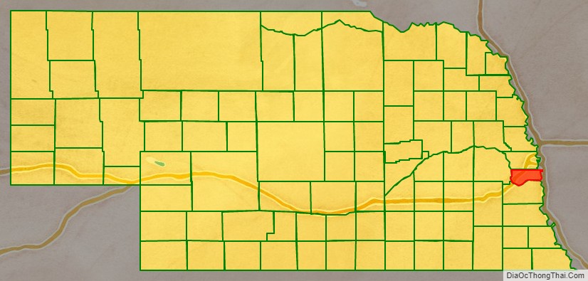
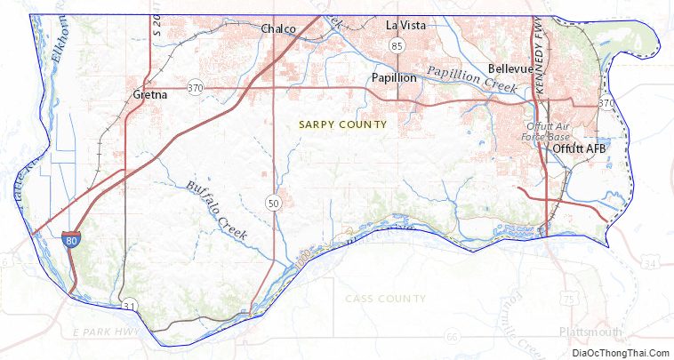
Sarpy County Road Map
Geography
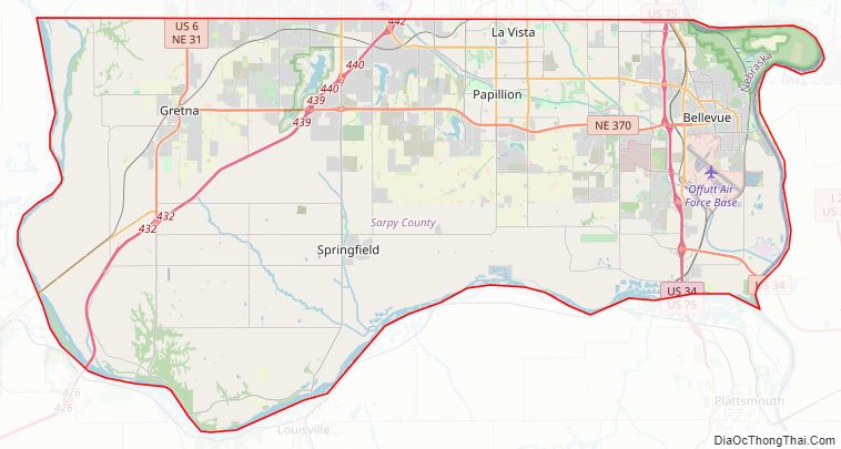
Sarpy County is bounded on the east by the Missouri River; on the south and west by the Platte River. The county’s terrain consists of low rolling hills, cut by several small gullies and drainages that move groundwater to one of these rivers. The county has a total area of 248 square miles (640 km), of which 239 square miles (620 km) is land and 8.5 square miles (22 km) (3.4%) is water. Sarpy is the smallest of Nebraska’s 93 counties.
Major highways
- Interstate 80
- U.S. Highway 6
- U.S. Highway 75
- Nebraska Highway 31
- Nebraska Highway 50
- Nebraska Highway 85
- Nebraska Highway 370
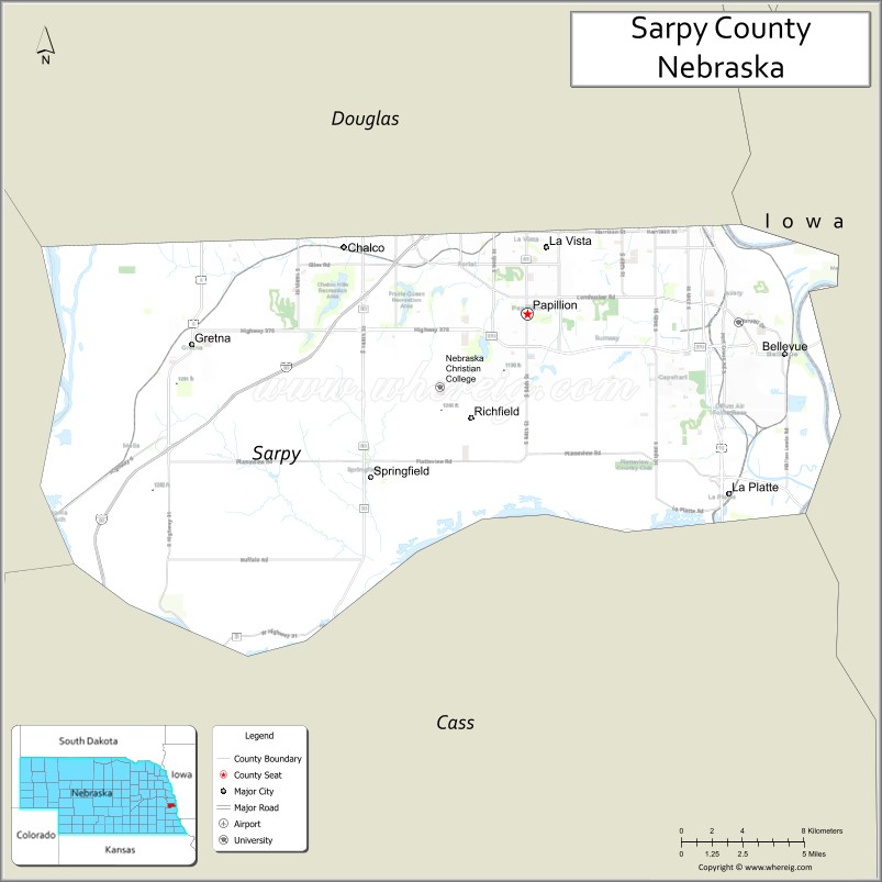
Adjacent counties
- Douglas County – north
- Pottawattamie County, Iowa – northeast
- Mills County, Iowa – southeast
- Cass County – south
- Saunders County – west
Protected areas
- Chalco Hills Recreation Area
- Fontenelle Forest Nature Center
- Gifford Point Wildlife Management Area
- Walnut Creek Lake & Recreation
Sarpy County Topographic Map
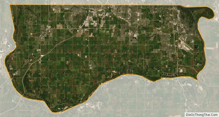
Sarpy County Satellite Map
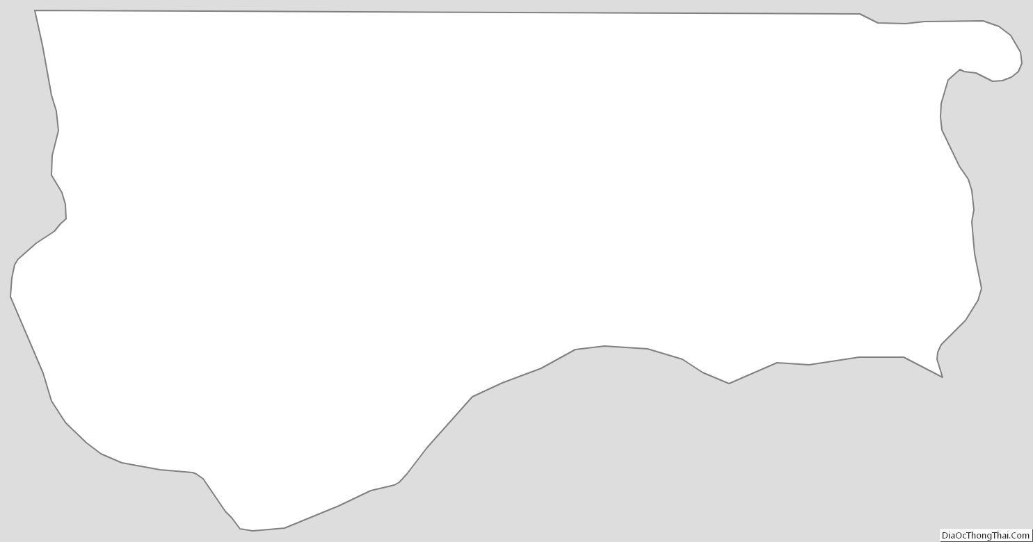
Sarpy County Outline Map
See also
Map of Nebraska State and its subdivision:- Adams
- Antelope
- Arthur
- Banner
- Blaine
- Boone
- Box Butte
- Boyd
- Brown
- Buffalo
- Burt
- Butler
- Cass
- Cedar
- Chase
- Cherry
- Cheyenne
- Clay
- Colfax
- Cuming
- Custer
- Dakota
- Dawes
- Dawson
- Deuel
- Dixon
- Dodge
- Douglas
- Dundy
- Fillmore
- Franklin
- Frontier
- Furnas
- Gage
- Garden
- Garfield
- Gosper
- Grant
- Greeley
- Hall
- Hamilton
- Harlan
- Hayes
- Hitchcock
- Holt
- Hooker
- Howard
- Jefferson
- Johnson
- Kearney
- Keith
- Keya Paha
- Kimball
- Knox
- Lancaster
- Lincoln
- Logan
- Loup
- Madison
- McPherson
- Merrick
- Morrill
- Nance
- Nemaha
- Nuckolls
- Otoe
- Pawnee
- Perkins
- Phelps
- Pierce
- Platte
- Polk
- Red Willow
- Richardson
- Rock
- Saline
- Sarpy
- Saunders
- Scotts Bluff
- Seward
- Sheridan
- Sherman
- Sioux
- Stanton
- Thayer
- Thomas
- Thurston
- Valley
- Washington
- Wayne
- Webster
- Wheeler
- York
- Alabama
- Alaska
- Arizona
- Arkansas
- California
- Colorado
- Connecticut
- Delaware
- District of Columbia
- Florida
- Georgia
- Hawaii
- Idaho
- Illinois
- Indiana
- Iowa
- Kansas
- Kentucky
- Louisiana
- Maine
- Maryland
- Massachusetts
- Michigan
- Minnesota
- Mississippi
- Missouri
- Montana
- Nebraska
- Nevada
- New Hampshire
- New Jersey
- New Mexico
- New York
- North Carolina
- North Dakota
- Ohio
- Oklahoma
- Oregon
- Pennsylvania
- Rhode Island
- South Carolina
- South Dakota
- Tennessee
- Texas
- Utah
- Vermont
- Virginia
- Washington
- West Virginia
- Wisconsin
- Wyoming