Scott County is a county located in the southeastern portion of the U.S. state of Missouri. As of the 2020 census, the population was 38,059. Its county seat is Benton. The county was organized in 1821 and named for U.S. Representative John Scott, the first federal representative from Missouri. Scott County comprises the Sikeston, MO Micropolitan Statistical Area, which is also included in the Cape Girardeau-Sikeston, MO-IL Combined Statistical Area. The county is home to Scott County Central High School, which has won 18 state championships in boys basketball—the most of any high school in the state.
| Name: | Scott County |
|---|---|
| FIPS code: | 29-201 |
| State: | Missouri |
| Founded: | December 28, 1821 |
| Named for: | John Scott |
| Seat: | Benton |
| Largest city: | Sikeston |
| Total Area: | 426 sq mi (1,100 km²) |
| Land Area: | 420 sq mi (1,100 km²) |
| Total Population: | 38,059 |
| Population Density: | 89/sq mi (34/km²) |
| Time zone: | UTC−6 (Central) |
| Summer Time Zone (DST): | UTC−5 (CDT) |
| Website: | www.scottcountymo.com |
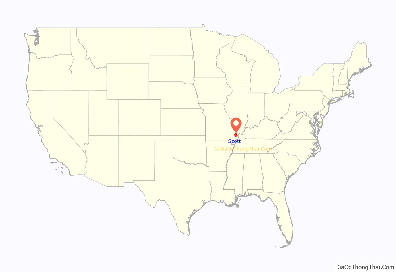
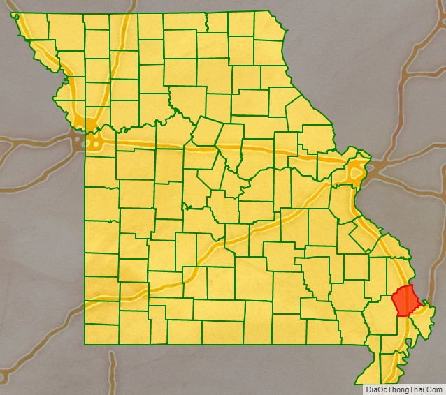
Scott County location map. Where is Scott County?
History
This area along the Mississippi River was long occupied by indigenous peoples. In historic times, the large and powerful Osage people dominated a large territory including this area and up and west from the later St. Louis, Missouri. Cape La Croix, a rock island in the Mississippi River, has a cross erected by Jesuit missionary Father De Montigny, who traveled with early French explorers in 1699. Some French colonists established trading relationships with the Osage; the traders were based in St. Louis, founded in the late 18th century.
Spain had taken control in 1763 after French lost to Britain in the Seven Years’ War. They laid out the King’s Highway (El Camino Real) in 1789, a north–south route crossing the county and extending through St. Louis, Missouri. In the late 1790s, Southerners were the first United States settlers on Spanish land grants in this area. France briefly took back the territory, then sold it to the United States in 1803 as part of the Louisiana Purchase.
Delaware (Lenape) and Shawnee people migrated into the area in the 1820s from territories east of the Mississippi, pushed by European-American encroachment on their lands.
The second county formed in Missouri’s Southeast Lowland Region, Scott County was created by the Missouri state legislature on December 28, 1821. The county was named in honor of John Scott (1785–1861), the first congressman from Missouri.
One of the earliest settlements was Commerce, Missouri, long known as Tywapitty, derived from an Osage language term. It was an early French fur trading post. Under Spanish rule before 1800, Rezin Bowie was syndic of Tywappity Settlement. (He was the brother of Kentucky frontiersman Jim Bowie.) This was established as a river landing by 1803, and residents formed the first Baptist Church in Missouri there in 1805. Sergeant John Ordway of the Lewis and Clark expedition used the proceeds from his land grant bounty to purchase land in Tywapitty where he farmed cotton and had apple and peach orchards until devastated by the 1811-182 New Madrid earthquakes. The city was platted in 1823 and it served as the Scott county seat from 1864 to 1878.
The current county seat of Benton was laid out in 1822; it is named after Thomas Hart Benton, one of Missouri’s first U.S. Senators.
New Hamburg, the third town founded in the county, was settled by a wave of German immigrants in the late 1840s, who came to this country after the German revolutions of 1848. The first log church was St. Lawrence Catholic Church. Sikeston, the largest city in the county and the fourth settlement to be founded, was settled in 1800 and was laid out in 1860 by John Sikes on the Cairo & Fulton Railroad.
The county was devastated by guerrilla raids during the U.S. Civil War. Afterward, it developed rapidly from the 1870s to the early 1900s; its dense forests were lumbered off and numerous railroads were constructed. Towns founded during this period included Diehlstadt, Morley, Oran, Perkins, Blodgett, Crowder, Vanduser, Illmo, Fornfelt (Scott City), Chaffee, Ancell, and Kelso. The Thebes-Mississippi River Railroad Bridge at Illmo was built in 1905.
Located near Morley is the gravesite of Nathaniel W. Watkins, a state legislator and a general in the Missouri State Guards. He was a half-brother of statesman Henry Clay. Wilson Brown, the ninth lieutenant governor of Missouri, lived in the county for a time. Noted early legislators such as Joseph Hunter II and Abraham Hunter also lived here.
Cotton, soybeans, melon and grains were all common crops in rural Scott County. Between the Mississippi River and Little River District drainage ditches lies one of the oldest drainage systems in the United States, Crowley’s Ridge, established in 1905, is a remnant of an old coastal floodplain and natural levee that crosses the country.
On January 28, 2004, the Scott County Courthouse was added to the National Register of Historic Places.
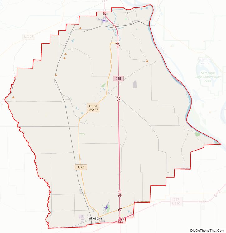
Scott County Road Map
Geography
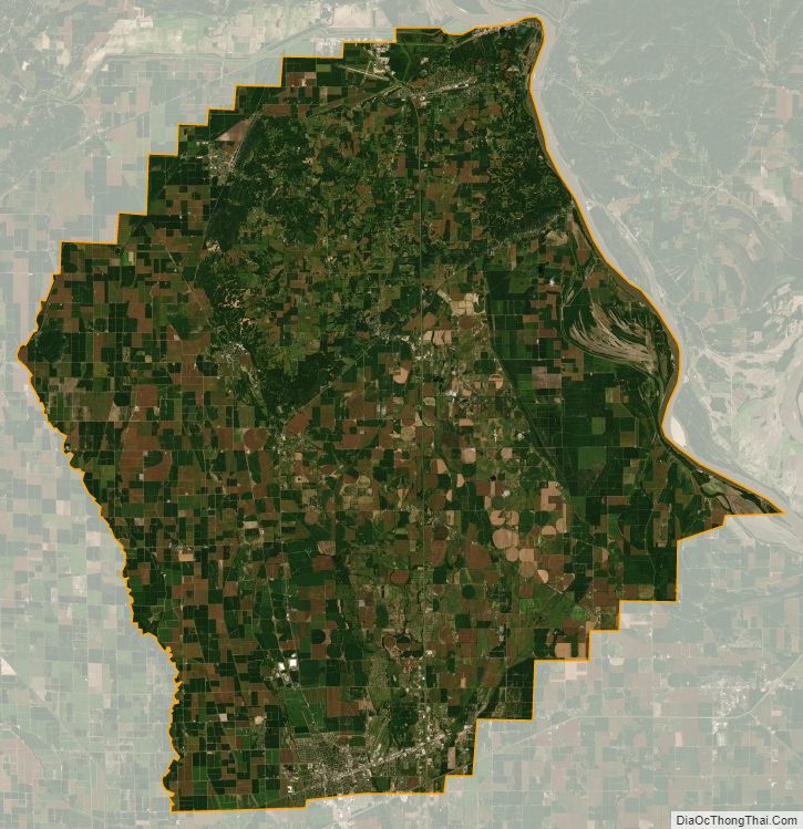
According to the U.S. Census Bureau, the county has a total area of 426 square miles (1,100 km), of which 420 square miles (1,100 km) is land and 5.9 square miles (15 km) (1.4%) is water. The county’s eastern border with Illinois is formed by the Mississippi River.
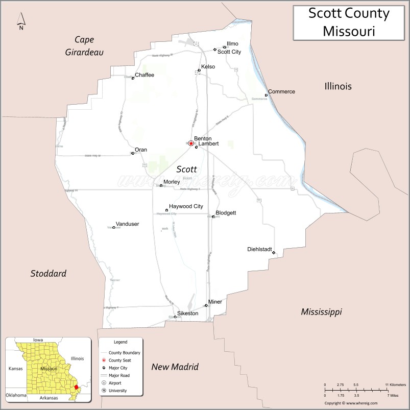
Adjacent counties
- Cape Girardeau County (northwest)
- Alexander County, Illinois (northeast)
- Mississippi County (southeast)
- New Madrid County (south)
- Stoddard County (southwest)
Major highways
- Interstate 55
- Interstate 57
- U.S. Route 60
- U.S. Route 61
- U.S. Route 62
- Route 77
Scott County Topographic Map

Scott County Satellite Map
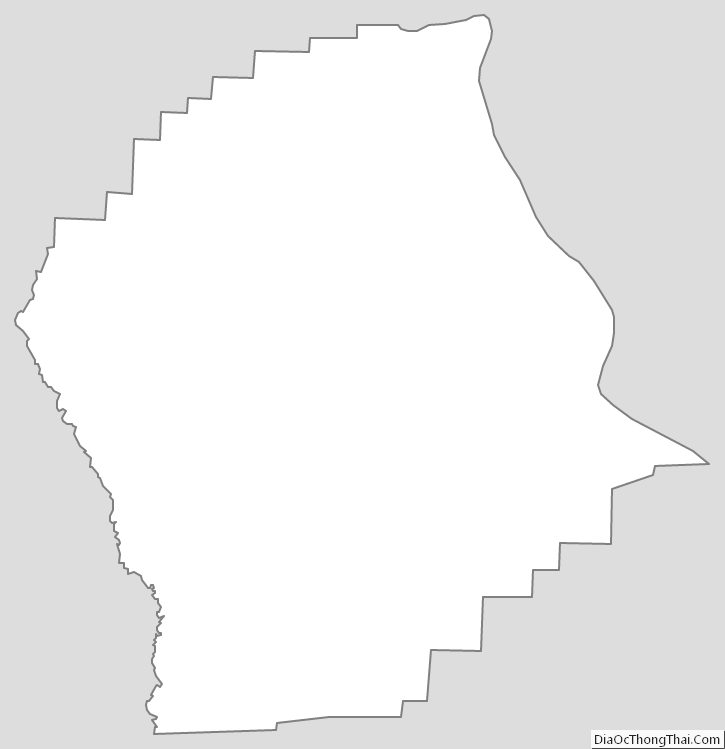
Scott County Outline Map
See also
Map of Missouri State and its subdivision:- Adair
- Andrew
- Atchison
- Audrain
- Barry
- Barton
- Bates
- Benton
- Bollinger
- Boone
- Buchanan
- Butler
- Caldwell
- Callaway
- Camden
- Cape Girardeau
- Carroll
- Carter
- Cass
- Cedar
- Chariton
- Christian
- Clark
- Clay
- Clinton
- Cole
- Cooper
- Crawford
- Dade
- Dallas
- Daviess
- De Kalb
- Dent
- Douglas
- Dunklin
- Franklin
- Gasconade
- Gentry
- Greene
- Grundy
- Harrison
- Henry
- Hickory
- Holt
- Howard
- Howell
- Iron
- Jackson
- Jasper
- Jefferson
- Johnson
- Knox
- Laclede
- Lafayette
- Lawrence
- Lewis
- Lincoln
- Linn
- Livingston
- Macon
- Madison
- Maries
- Marion
- McDonald
- Mercer
- Miller
- Mississippi
- Moniteau
- Monroe
- Montgomery
- Morgan
- New Madrid
- Newton
- Nodaway
- Oregon
- Osage
- Ozark
- Pemiscot
- Perry
- Pettis
- Phelps
- Pike
- Platte
- Polk
- Pulaski
- Putnam
- Ralls
- Randolph
- Ray
- Reynolds
- Ripley
- Saint Charles
- Saint Clair
- Saint Francois
- Saint Louis
- Sainte Genevieve
- Saline
- Schuyler
- Scotland
- Scott
- Shannon
- Shelby
- Stoddard
- Stone
- Sullivan
- Taney
- Texas
- Vernon
- Warren
- Washington
- Wayne
- Webster
- Worth
- Wright
- Alabama
- Alaska
- Arizona
- Arkansas
- California
- Colorado
- Connecticut
- Delaware
- District of Columbia
- Florida
- Georgia
- Hawaii
- Idaho
- Illinois
- Indiana
- Iowa
- Kansas
- Kentucky
- Louisiana
- Maine
- Maryland
- Massachusetts
- Michigan
- Minnesota
- Mississippi
- Missouri
- Montana
- Nebraska
- Nevada
- New Hampshire
- New Jersey
- New Mexico
- New York
- North Carolina
- North Dakota
- Ohio
- Oklahoma
- Oregon
- Pennsylvania
- Rhode Island
- South Carolina
- South Dakota
- Tennessee
- Texas
- Utah
- Vermont
- Virginia
- Washington
- West Virginia
- Wisconsin
- Wyoming