Sherman County is one of the 36 counties in the U.S. state of Oregon. As of the 2020 census, the population was 1,870, making it the second-least populous county in Oregon after nearby Wheeler. The county seat is Moro, and the largest city is Wasco. The county is named for William Tecumseh Sherman, a Union general in the American Civil War.
| Name: | Sherman County |
|---|---|
| FIPS code: | 41-055 |
| State: | Oregon |
| Founded: | February 25, 1889 |
| Named for: | William T. Sherman |
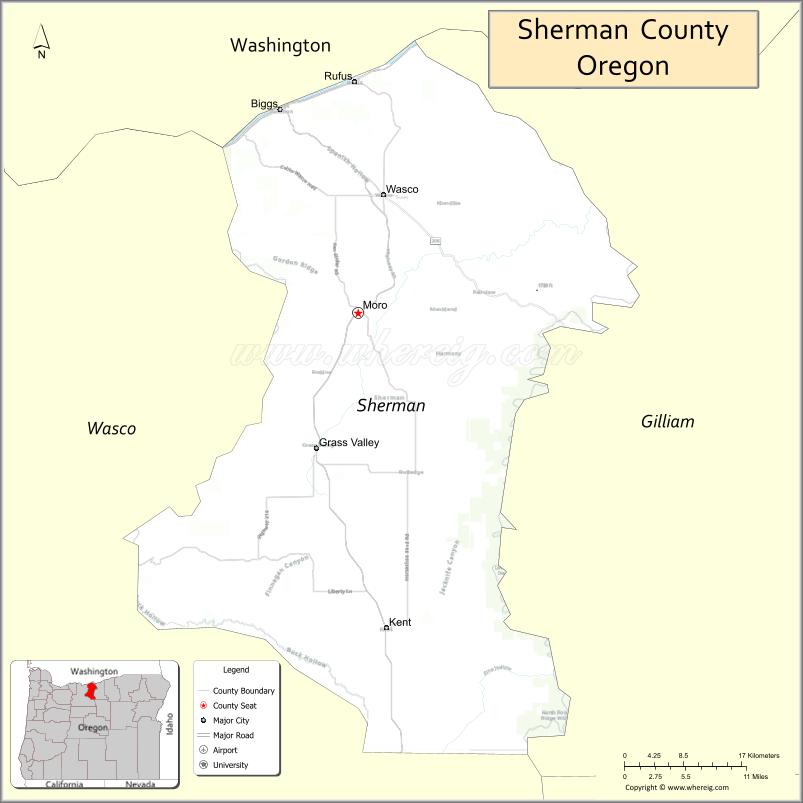
| Seat: | Moro |
| Largest city: | Wasco |
| Total Area: | 831 sq mi (2,150 km²) |
| Land Area: | 824 sq mi (2,130 km²) |
| Total Population: | 1,870 |
| Population Density: | 2.1/sq mi (0.8/km²) |
| Time zone: | UTC−8 (Pacific) |
| Summer Time Zone (DST): | UTC−7 (PDT) |
| Website: | co.sherman.or.us |
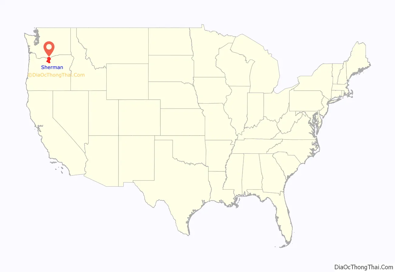
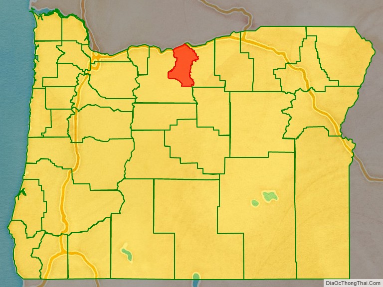
Sherman County location map. Where is Sherman County?
History
As the pioneers felt crowded in the new settlements of western Oregon, they turned east to the Columbia Plateau for new opportunities. The county’s first white settler was William Graham, who located at the mouth of the Deschutes River in 1858. Homesteaders, eager for land, arrived in the 1880s by steamboat, stagecoach and wagon. Soon farmers received government patents.
As the population grew, so did the sentiment for independence from Wasco County. Sherman County was created on February 25, 1889, out of the northeast corner of Wasco County. The county’s borders have been changed only once, in 1891, when the Legislative Assembly moved the county line 18 miles (29 km) farther south into Wasco County.
The town of Wasco was designated the county seat by the Legislative Assembly although this designation was contested between Wasco and Moro. Following the addition of a portion of Wasco County, Moro became the eventual winner.
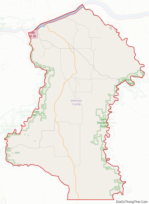
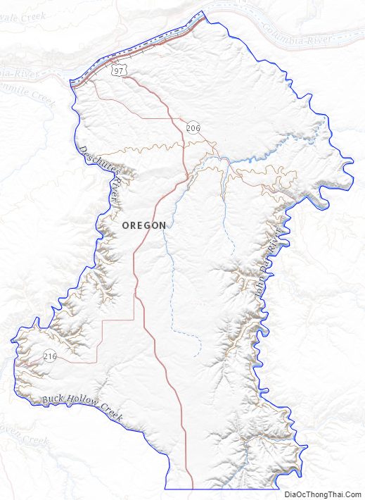
Sherman County Road Map
Geography
Sherman County is located in the central northern part of Oregon, east of the Cascade Range. It lies between the John Day River to the east and the Deschutes River to the west, which defines the borders of the county. On the northern border of the county is the Colombia River. Sherman County is mostly flat, being part of the Colombia Platea, it’s highest point is at an unknown location at 3,004 feet (916m).
According to the United States Census Bureau, the county has a total area of 831 square miles (2,150 km), of which 824 square miles (2,130 km) is land and 7.5 square miles (19 km) (0.9%) is water.
Adjacent counties
- Klickitat County, Washington – north
- Gilliam County – east
- Wasco County – southwest
Sherman County Topographic Map
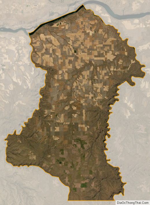
Sherman County Satellite Map
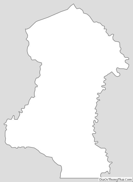
Sherman County Outline Map
See also
Map of Oregon State and its subdivision: Map of other states:- Alabama
- Alaska
- Arizona
- Arkansas
- California
- Colorado
- Connecticut
- Delaware
- District of Columbia
- Florida
- Georgia
- Hawaii
- Idaho
- Illinois
- Indiana
- Iowa
- Kansas
- Kentucky
- Louisiana
- Maine
- Maryland
- Massachusetts
- Michigan
- Minnesota
- Mississippi
- Missouri
- Montana
- Nebraska
- Nevada
- New Hampshire
- New Jersey
- New Mexico
- New York
- North Carolina
- North Dakota
- Ohio
- Oklahoma
- Oregon
- Pennsylvania
- Rhode Island
- South Carolina
- South Dakota
- Tennessee
- Texas
- Utah
- Vermont
- Virginia
- Washington
- West Virginia
- Wisconsin
- Wyoming