Smith County is a county located in the U.S. state of Mississippi. As of the 2020 census, the population was 14,209. Its county seat is Raleigh. Smith County is a prohibition or dry county.
| Name: | Smith County |
|---|---|
| FIPS code: | 28-129 |
| State: | Mississippi |
| Founded: | 1833 |
| Named for: | David Smith |
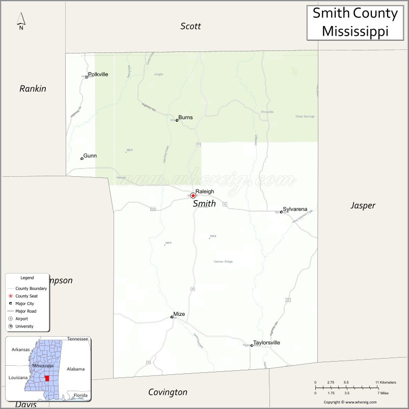
| Seat: | Raleigh |
| Largest town: | Raleigh |
| Total Area: | 637 sq mi (1,650 km²) |
| Land Area: | 636 sq mi (1,650 km²) |
| Total Population: | 14,209 |
| Population Density: | 22/sq mi (8.6/km²) |
| Time zone: | UTC−6 (Central) |
| Summer Time Zone (DST): | UTC−5 (CDT) |
| Website: | www.smithcountyms.gov |
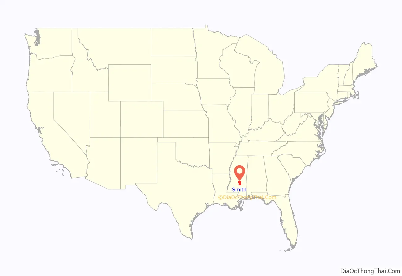
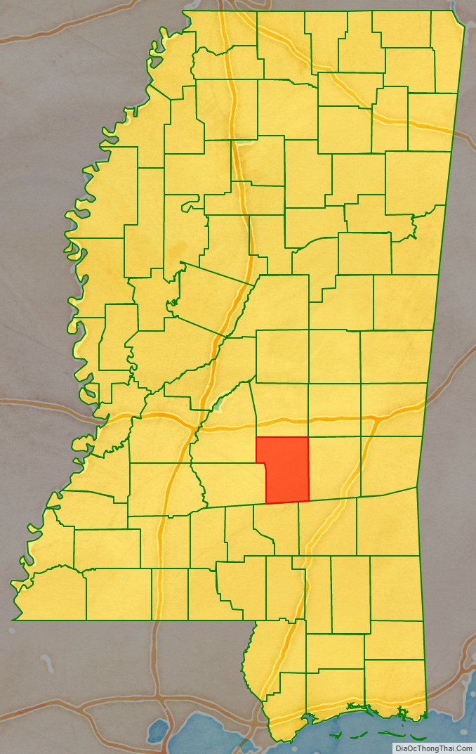
Smith County location map. Where is Smith County?
History
Smith County is named for Major David Smith.
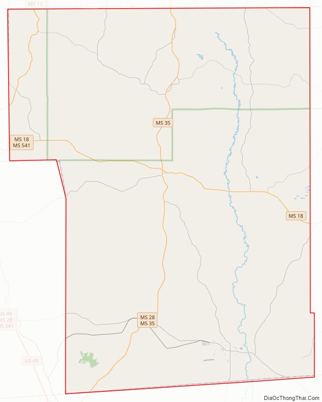
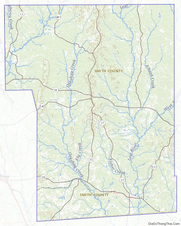
Smith County Road Map
Geography
According to the U.S. Census Bureau, the county has a total area of 637 square miles (1,650 km), of which 636 square miles (1,650 km) is land and 1.0 square mile (2.6 km) (0.2%) is water.
Major highways
- Mississippi Highway 13
- Mississippi Highway 18
- Mississippi Highway 28
- Mississippi Highway 35
- Mississippi Highway 37
- Mississippi Highway 540
- Mississippi Highway 481
- Mississippi Highway 501
- Mississippi Highway 902
Adjacent counties
- Scott County (north)
- Jasper County (east)
- Jones County (southeast)
- Covington County (south)
- Simpson County (west)
- Rankin County (northwest)
National protected area
- Bienville National Forest (part)
Smith County Topographic Map
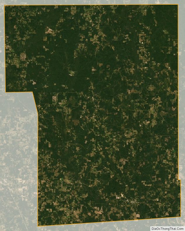
Smith County Satellite Map
Smith County Outline Map

See also
Map of Mississippi State and its subdivision:- Adams
- Alcorn
- Amite
- Attala
- Benton
- Bolivar
- Calhoun
- Carroll
- Chickasaw
- Choctaw
- Claiborne
- Clarke
- Clay
- Coahoma
- Copiah
- Covington
- Desoto
- Forrest
- Franklin
- George
- Greene
- Grenada
- Hancock
- Harrison
- Hinds
- Holmes
- Humphreys
- Issaquena
- Itawamba
- Jackson
- Jasper
- Jefferson
- Jefferson Davis
- Jones
- Kemper
- Lafayette
- Lamar
- Lauderdale
- Lawrence
- Leake
- Lee
- Leflore
- Lincoln
- Lowndes
- Madison
- Marion
- Marshall
- Monroe
- Montgomery
- Neshoba
- Newton
- Noxubee
- Oktibbeha
- Panola
- Pearl River
- Perry
- Pike
- Pontotoc
- Prentiss
- Quitman
- Rankin
- Scott
- Sharkey
- Simpson
- Smith
- Stone
- Sunflower
- Tallahatchie
- Tate
- Tippah
- Tishomingo
- Tunica
- Union
- Walthall
- Warren
- Washington
- Wayne
- Webster
- Wilkinson
- Winston
- Yalobusha
- Yazoo
- Alabama
- Alaska
- Arizona
- Arkansas
- California
- Colorado
- Connecticut
- Delaware
- District of Columbia
- Florida
- Georgia
- Hawaii
- Idaho
- Illinois
- Indiana
- Iowa
- Kansas
- Kentucky
- Louisiana
- Maine
- Maryland
- Massachusetts
- Michigan
- Minnesota
- Mississippi
- Missouri
- Montana
- Nebraska
- Nevada
- New Hampshire
- New Jersey
- New Mexico
- New York
- North Carolina
- North Dakota
- Ohio
- Oklahoma
- Oregon
- Pennsylvania
- Rhode Island
- South Carolina
- South Dakota
- Tennessee
- Texas
- Utah
- Vermont
- Virginia
- Washington
- West Virginia
- Wisconsin
- Wyoming